Trip Report
Global Adventure - Trek the Swiss Alps in the Jungfrau Region
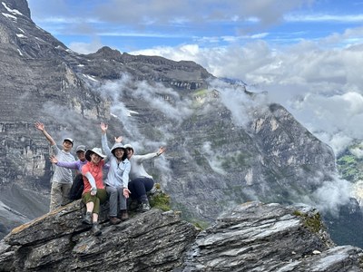
A successful 12 day hut-to-hut trek in the heart of the Swiss Alps – the Jungfrau Region. Challenging terrain, gorgeous views, and meaningful Mountaineers camaraderie added up to an amazing, bucket-list trip.
- Sun, Aug 11, 2024 — Sun, Aug 25, 2024
- Global Adventure - Trek the Swiss Alps in the Jungfrau Region
- Trek the Swiss Alps in the Jungfrau Region
- Global Adventures & Backpacking
- Successful
-

- Road suitable for all vehicles
-
Exceptionally well-maintained and well-marked trails, with zero blowdowns and zero consequential water crossings. Trek included sections of rocky terrain; narrow, moderate-consequence stretches on rock featuring chain or rope handholds; stairs; and ladders.
9 intrepid Mountaineers spent a glorious 12 days trekking hut-to-hut in Switzerland's Jungfrau region. Before the start of our 12-day trek, we spent 2 nights in Interlaken so that we could acclimate to the time zone, rest, let any lost luggage catch up (we had none), and accommodate any flight delays (we had none).
"Rest" day in Interlaken: Hardergrat Trail
9.5 miles, 2800' gain, 5300' loss
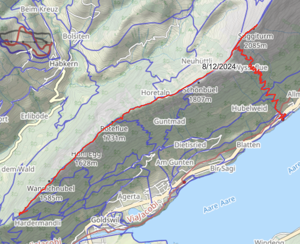
Our "rest" day didn't include much resting: we all opted to have a day hike on the Hardergrat trail above Interlaken. This ridge-line trail offered lots of views and elevation gain. We knew that thunderstorms were forecast for the afternoon, so we descended after summiting Suggiturm and then caught a train back to Interlaken. We arrived at our hotel just as the fierce thunderstorms arrived.
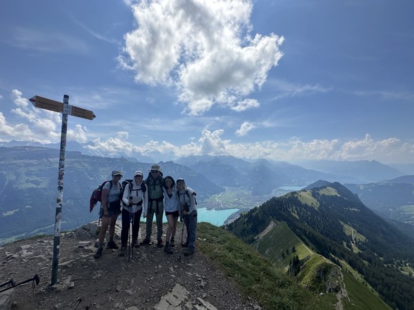
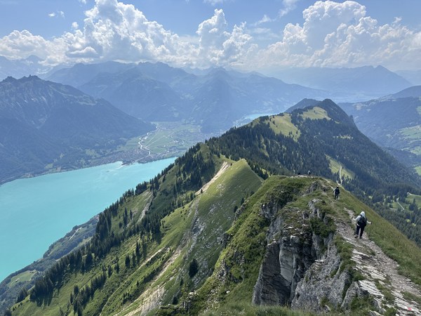
Day 1: Schynige Platte to Berggasthaus First
12.1 miles, 3600' gain, 3000' loss

Our official trek started with a bus + cog railway ride from Interlaken to Schynige Platte. This touristy destination had nice views but was swamped with tourists, so we quickly got on trail and made our way to the Daube lookout and then the summit of Oberberghorn.
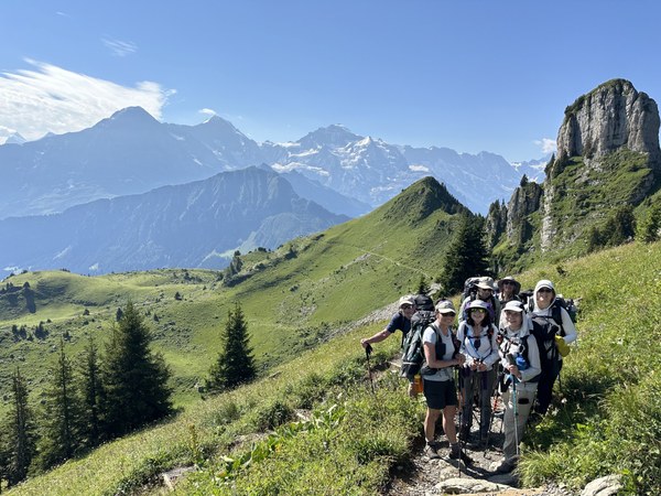
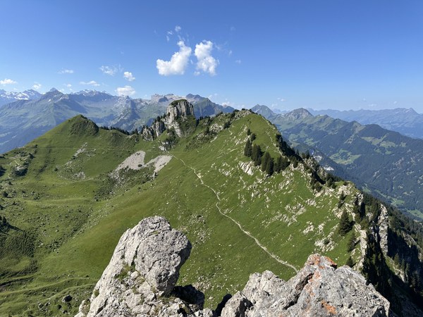
After a long but beautiful approach, we summited Faulhorn, home to the oldest mountain hotel in Switzerland:
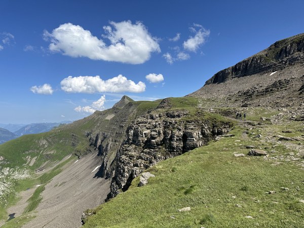
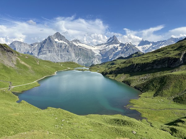
We then made our way down to the gorgeous Bachalpsee before the final push to Berggasthaus First.
Day 2: Berggasthaus First to Glecksteinhütte
8.1 miles, 3000' gain, 2500' loss
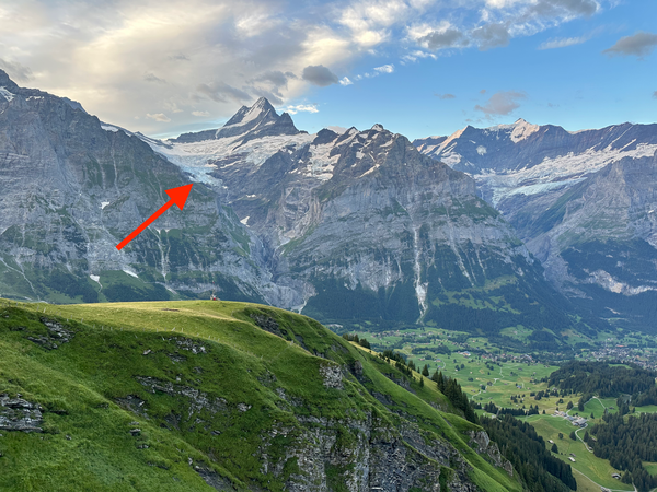
Our day started with gorgeous views across the Grindelwald valley, with the Wetterhorn and Schreckhorn towering in the distance. Much to our astonishment, we noticed a teensy-tiny dot on the mountainside across from us: Glecksteinhütte, our day's destination. Seeing our destination so far away, and so high off the valley floor, drove home the point that this was going to be a long, challenging day.
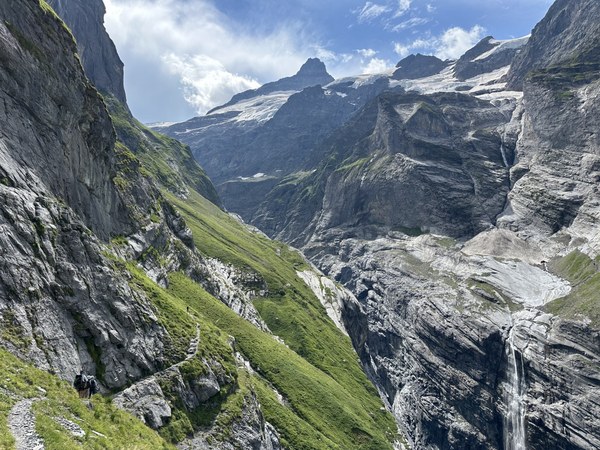
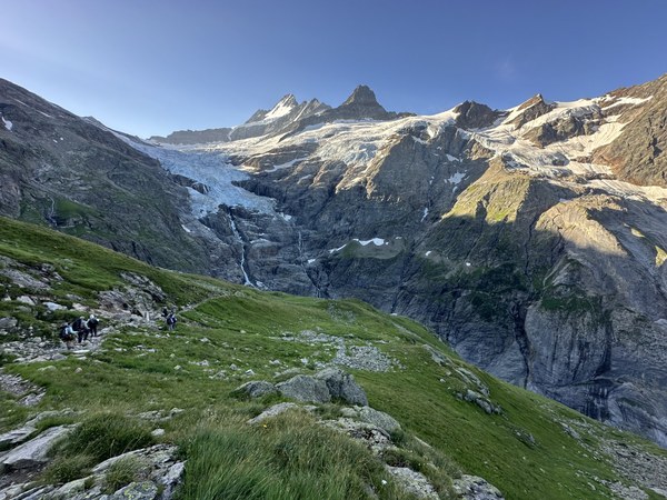
We didn't need any more motivation, but the weather forecast provided it: thunderstorms arriving at 1:30pm. On a day where we're ascending well above treeline. So we remained focused, tried to be efficient with our breaks and our photo stops, and basically hauled ass. Ascending the steep slopes of the gorge carved out by the Upper Grindelwald glacier, we passed through meadows, squeezed behind waterfalls, and admired the hanging glaciers above us. All while keeping our eyes on the clouds.
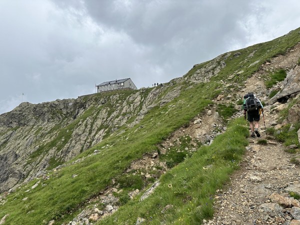
We arrived at Glecksteinhütte at 1pm, just as it started to rain. But as luck would have it, the thunderstorms never arrived and we soon had sunny skies. We took advantage of our early arrival and the clear skies to have a lazy afternoon out on the patio. In the end, Glecksteinhütte was our favorite hut of the entire trip.
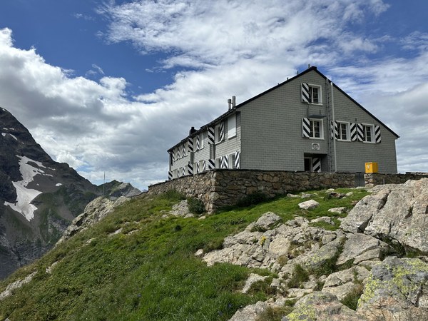
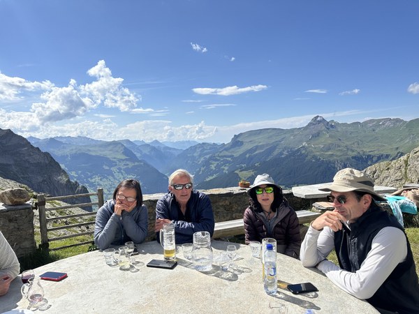
Day 3: Glecksteinhütte to Berghaus Bäregg
8.2 miles, 2650' gain, 4450' loss
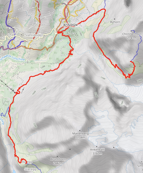
After an overnight stay full of laughter, fruit tarts, and glacier views, it was time for us to descend the Upper Grindelwald Glacier gorge, return to the Grindelwald Valley floor, and then ascend the Lower Grindelwald Glacier gorge. A nice cool morning gave us ample time to soak in the gorge which we had hustled through the previous day, and we were treated to 2 base jumpers in wing suits flying by as they descended from the summit of Wetterhorn.
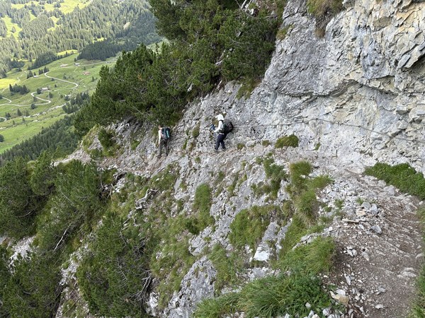
Back on the valley floor, we headed downhill, trekking past the car-accessible Hotel Wetterhorn and the gondola-accessible Pfingstegg. Both were very busy with tourists, but we took advantage of the restaurant deck in Pfingstegg to take a break.
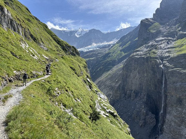
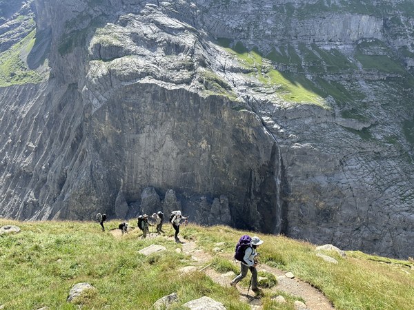
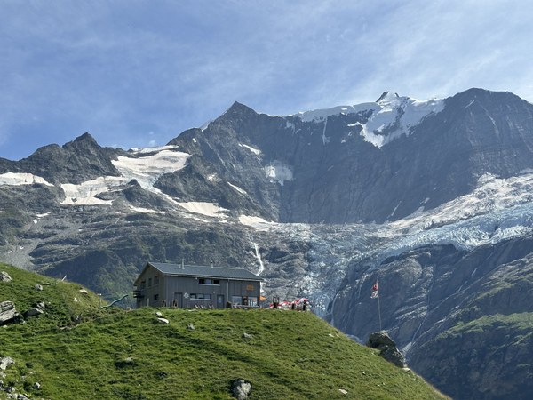
We finished the day by leaving the valley floor, just as we had the day before, but this time we ascended the Lower Grindelwald Glacier gorge. And this time we had hot, sunny weather instead of the threat of thunderstorms. And of course there were more meadows, waterfalls, and spectacular glaciers to absorb.
Day 4: Berghaus Bäregg to Berghaus Alpiglen
7.5 miles, 2600' gain, 3100' loss
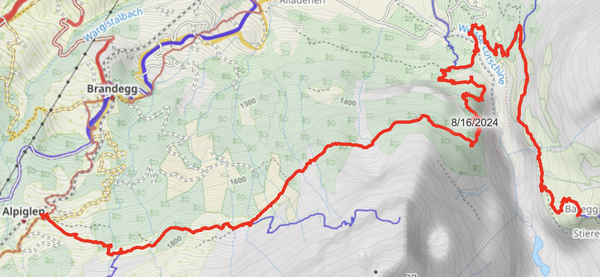
Another day, another nice cool morning to descend a glacier-carved gorge (this time the Lower Grindelwald Glacier gorge) to the valley floor. As with our descent of the Upper Grindelwald Glacier gorge on day 3, it was nice to see the gorge from a different perspective and with different lighting.
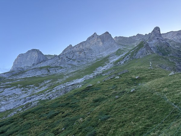
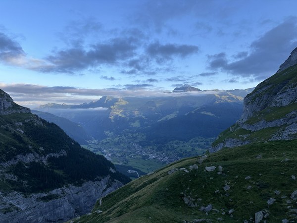
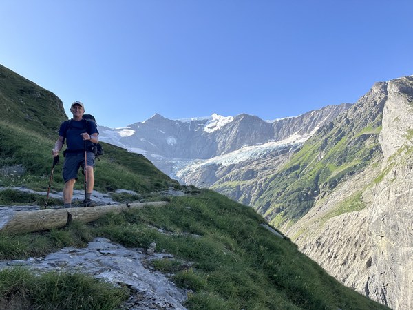
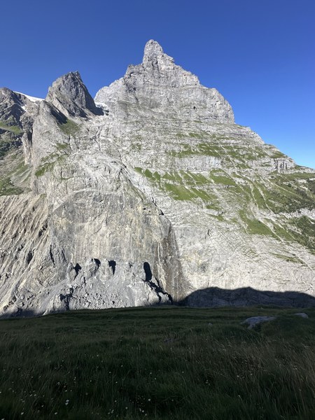
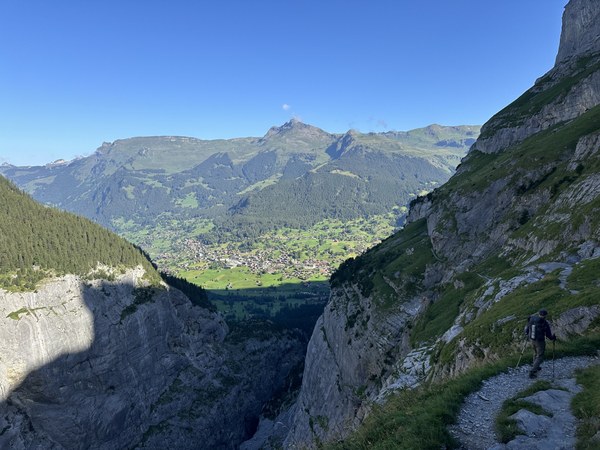
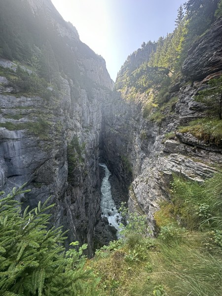
From the valley floor, we were able to see the thundering proglacial river flowing from the Lower Grindelwald Glacier:
We then followed the Eiger Trail during peak afternoon heat as we gradually ascended into Alpiglen.
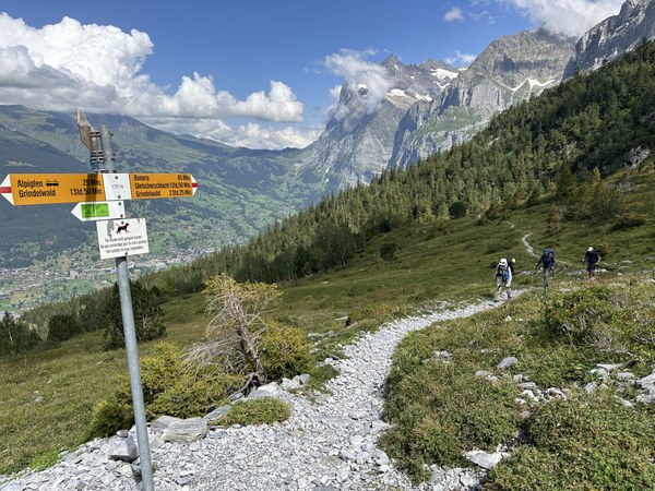
Our timing was excellent, as rain arrived later in the evening.
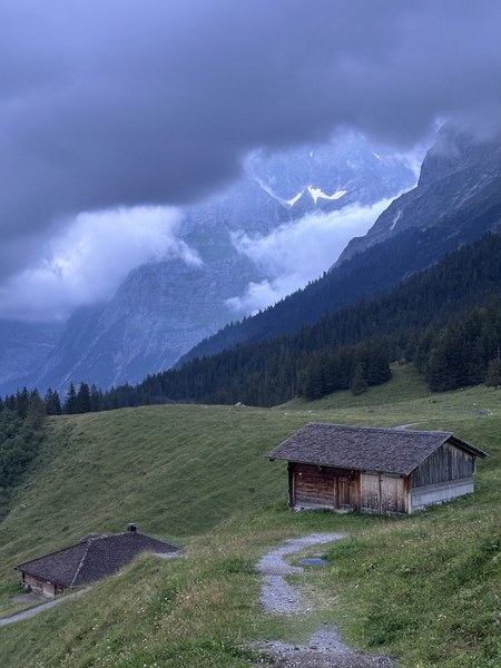
Day 5: Berghaus Alpiglen to Kleine Scheidegg
0 miles, 0' gain, 0' loss
Our original plan was to make the short hike from Berghaus Alpiglen to Kleine Scheidegg and then have an optional (and pricey) train ride up to see the views at Jungfraujoch. But the rain from the previous evening strengthened overnight and continued as we made our day 5 plans. So we decided to make it a city day, exploring the cute but touristy village of Grindelwald, which was a short train ride away.
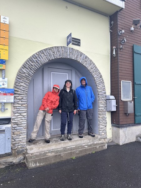
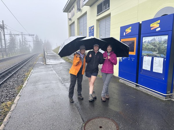
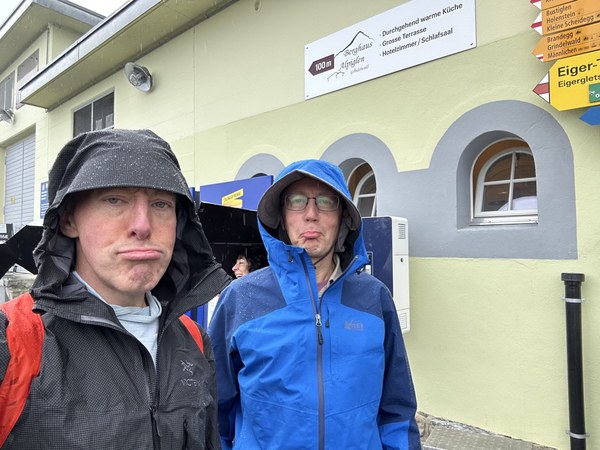
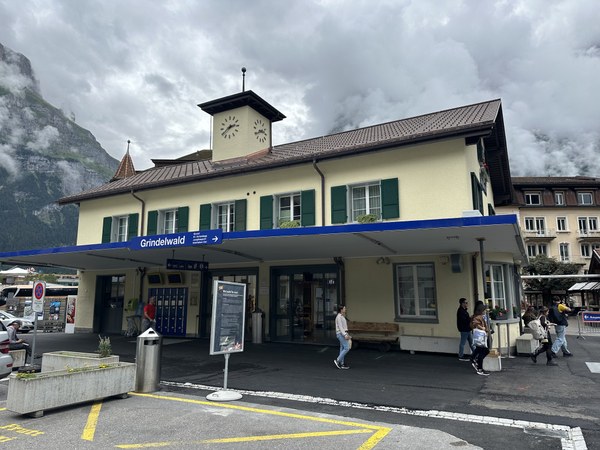
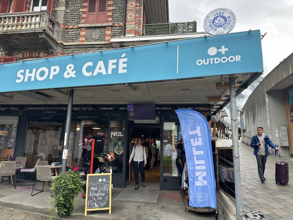
After a few hours of exploring, shopping, and eating in Grindelwald, we took the train up to Kleine Scheidegg and checked into our accommodations.
Day 6: Kleine Scheidegg to Mürren
8.7 miles, 900' gain, 4950' loss
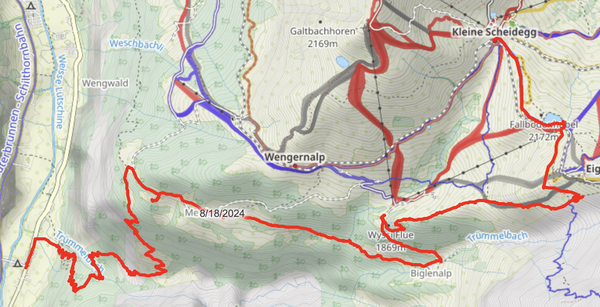
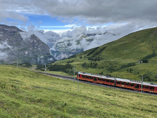
Day 6 was a big descent day for us - almost 5000' of descent to be precise. It was also the day where we'd transition from the Grindelwald Valley to the Lauterbrunen Valley. Thankfully the prior day's rain had passed, but we unfortunately did have very cloudy skies. As luck would have it, many of the day's highlights didn't rely on crystal clear skies.
We saw empty trains going up to (fogged in) Jungfraujoch:
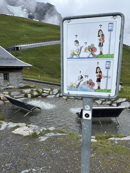
We saw our first-ever hikers' jacuzzi:
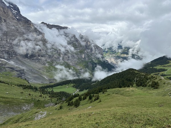
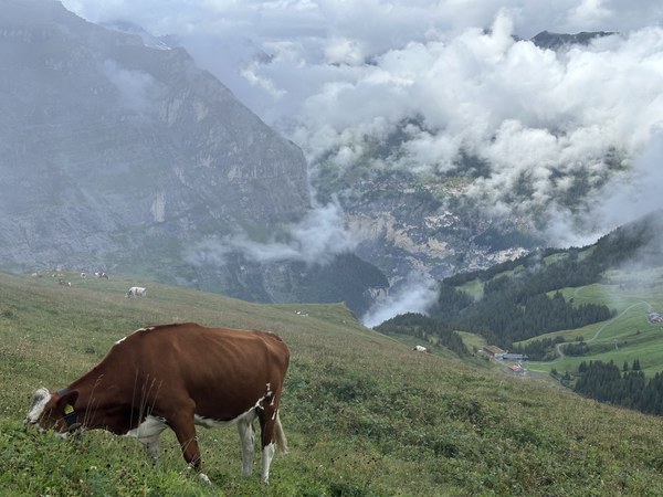
We had some nice territorial views:
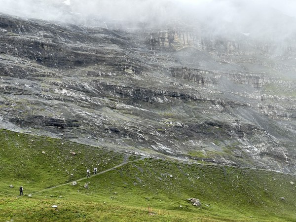
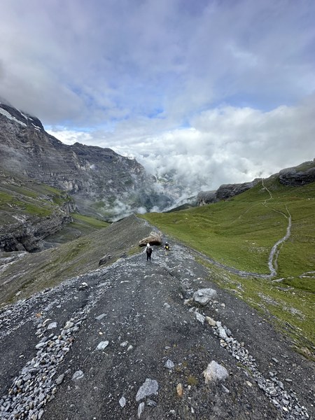
And we had a blast descending the crest of the Eiger Glacier's lateral moraine:
We were in awe while crossing the thundering crest of Trümmelbach Falls:
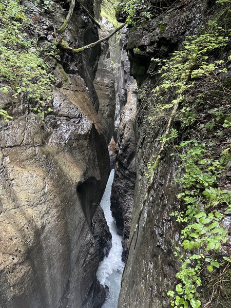
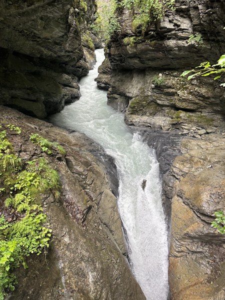
Switchback after switchback, we eventually arrived at the floor of the Lauterbrunen Valley. A short walk and bus ride brought us to our first gondola ride of the trip: from Stechelberg to Mürren. Rain returned just as the gondola was ascending, but thankfully we had a short walk from the Mürren gondola station to our hotel.
Day 7: "Rest" day in Mürren
We had a free day in Mürren to do as we pleased. Even though Mürren was completely fogged in, the Jungfraujoch webcams showed good visibility. So a few folks made the 4+ hour RT train ride to Jungfraujoch to get some spectacular views. Others did the via ferrata between Mürren and Gimmelwald. Others took the gondola up the Schilthorn. Others relaxed or explored Mürren.
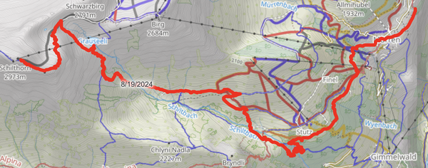
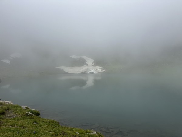
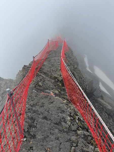
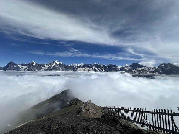
3 of us hiked up the Schilthorn, visiting the Stutz waterfall along the way (6.6 miles, 4850' gain, 550' loss). We figured we wouldn't see anything, but we'd at least get a good workout. We were in for a surprise!!!
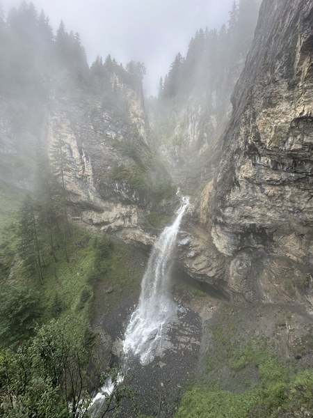
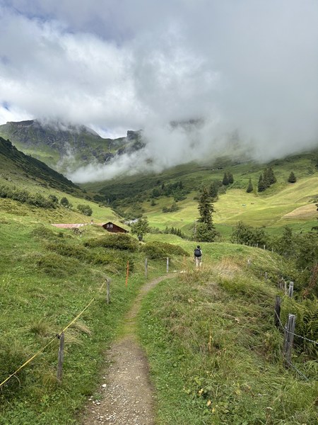
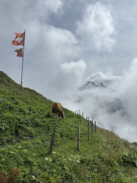
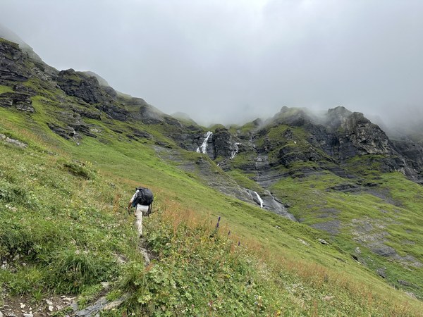
Day 8: Mürren to Obersteinberg -- the long way
12.2 miles, 4650' gain, 4200' loss
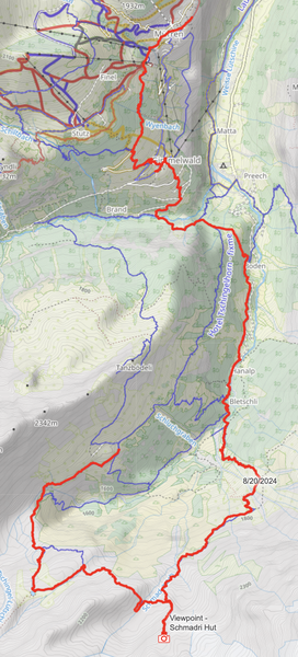
After three days of clouds and rain, we were thrilled to wake up to clear, sunny skies. It was time to trade the relative hustle and bustle of Mürren for the remote, rugged, absolutely gorgeous head of the Lauterbrunnen Valley. From Mürren, we descended to Gimmelwald, the small mountainside village that triggered the trip leader's obsession with the Jungfrau region over a decade ago. We continued past Gimmelwald to the valley floor and then trekked alongside Weisse Lütschine, eventually entering the UNESCO World Heritage site. We explored the head of the Lauterbrunnen Valley clockwise, hiking up rock, through meadows, and above waterfalls. The mountains and glaciers at the head of the valley loomed larger with every step.
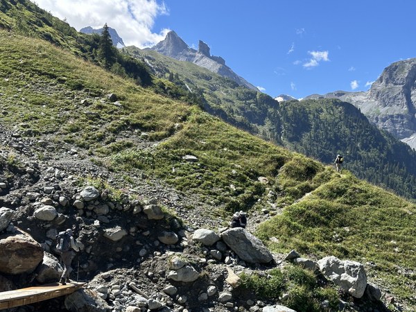
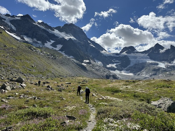
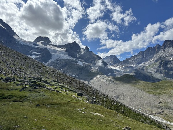
We eventually dropped our packs and ascended a moraine ridge to reach the small, primitive Schmadrihütte.
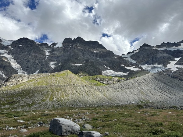
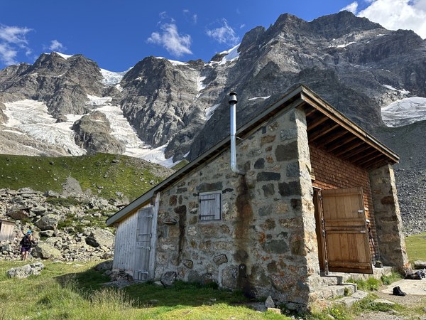
We then continued around the head of the valley to the emerald-colored Oberhornsee...

...and then downstream...
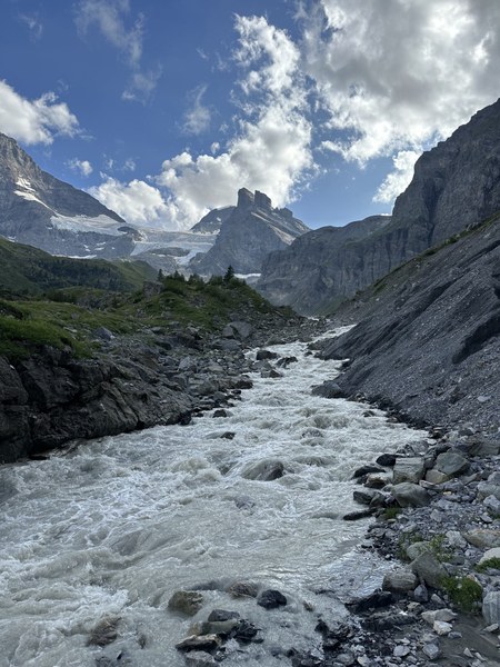
...to Berghotel Obersteinberg, where we had no showers, no electricity, but a magical dinner by candlelight.
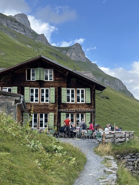
Day 9: Obersteinberg to Rotstock-Hütte
7 miles, 3700' gain, 3150' loss
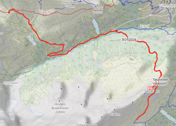
Today we exited the Lauterbrunnen Valley, our home for the past 2+ days, and entered the Sefinental Valley. While we were disappointed to leave the Lauterbrunnen Valley, we were looking forward to getting one last overview of the valley from the spectacular Tanbödeli viewpoint.
Things initially looked promising...
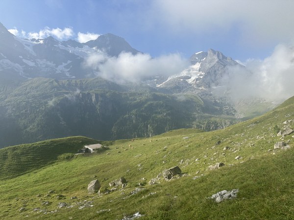
...but fog arrived as we made our ascent from Obersteinberg...
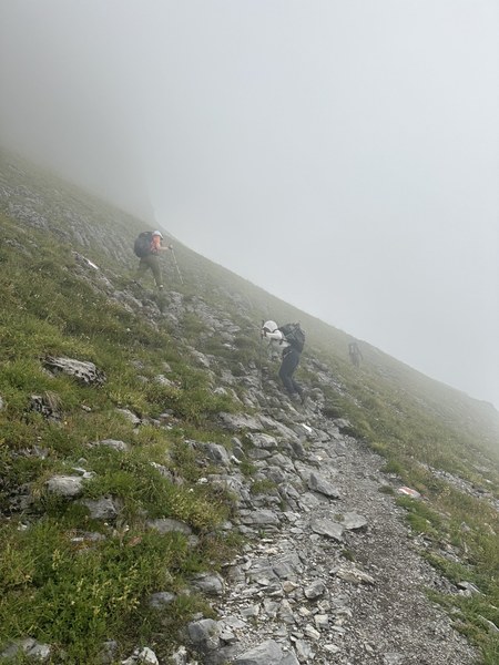
...and the views from the spectacular Tanbödeli viewpoint were, well...
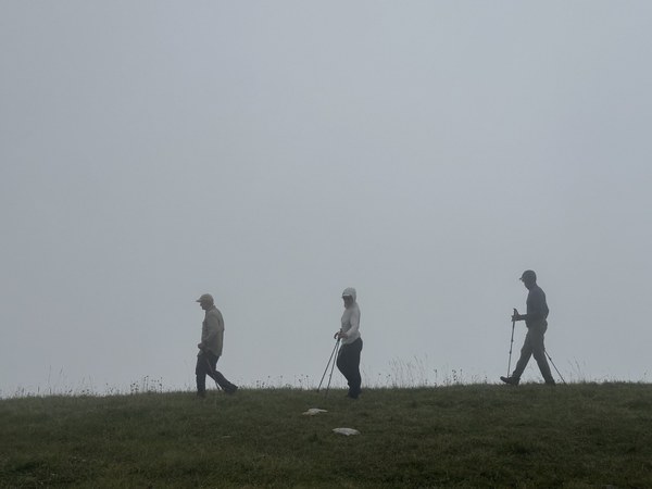
...not spectacular. Life in the backcountry.
And of course, things cleared up just after we descended from Tanbödeli viewpoint and started making our way around the bend into the Sefinental Valley:
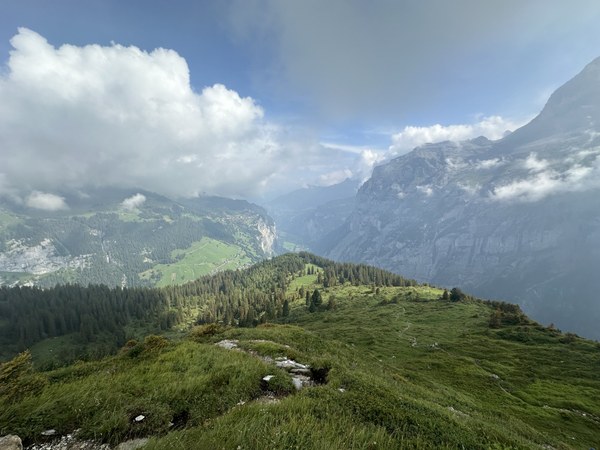
We also had great views of Gimmelwald...
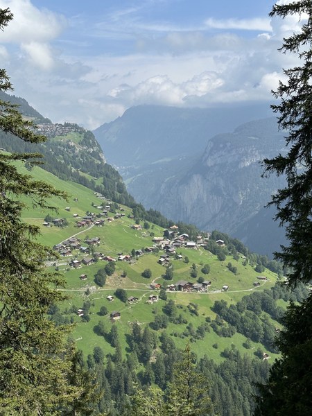
...as well as a lovely, distant view of the Stutz waterfall, which the Schilthorn dayhikers had hiked behind two days prior:
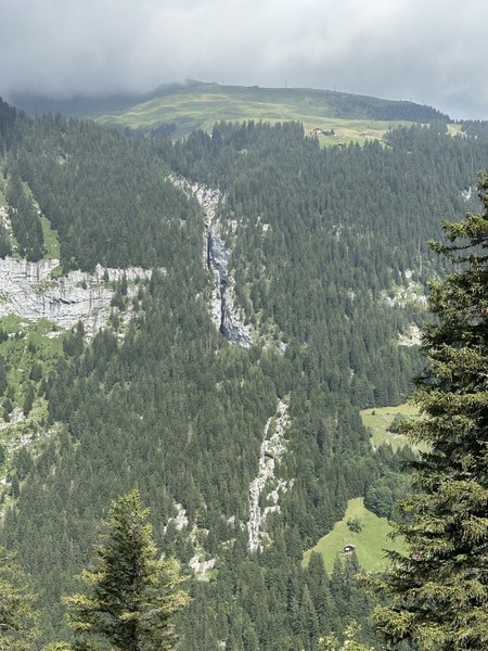
After a steep descent to the floor of the Sefinental Valley, we began hiking upstream, parallel to Sefinen-Lütschine.
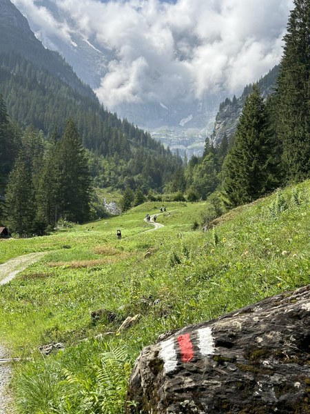
We then turned uphill, away from the river, making a steep ascent...
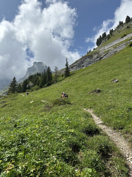
...to Rotstock-Hütte.
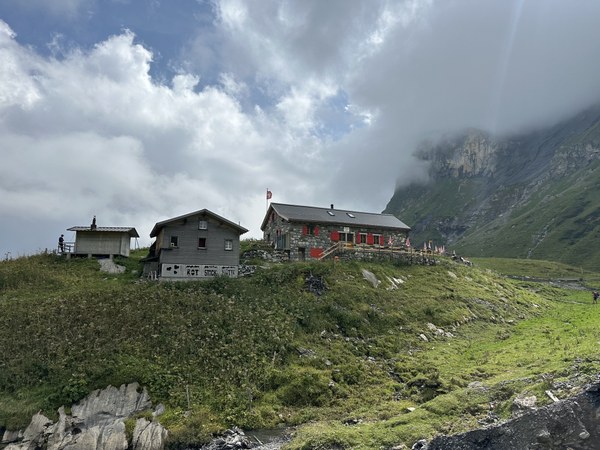
Day 10: Rotstock-Hütte to Berghaus Bundalp
9.3 miles, 2850' gain, 4000' loss
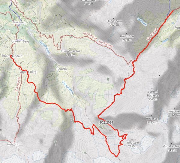
Today was our first day on the Via Alpina. Our ascent started immediately upon leaving Rotstock-Hütte as we made our way up to Sefinenfurgge, the pass between Hundshore and Bütlasse.
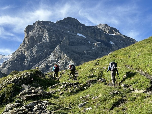
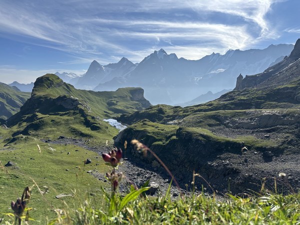
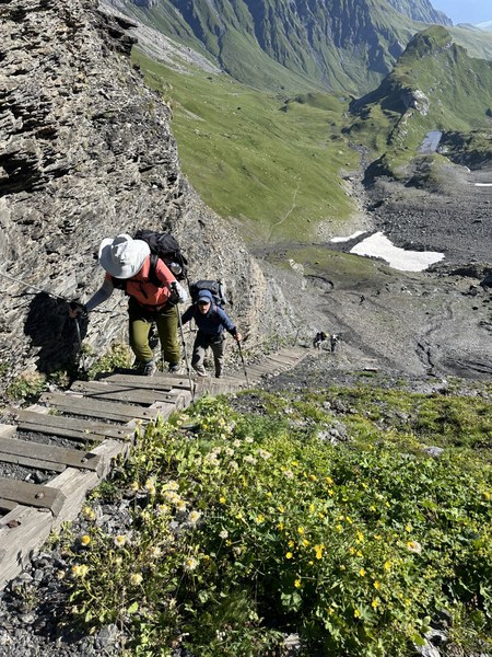
Our original plan was to follow the Via Alpina down from the pass, all the way to Berghaus Bundalp:
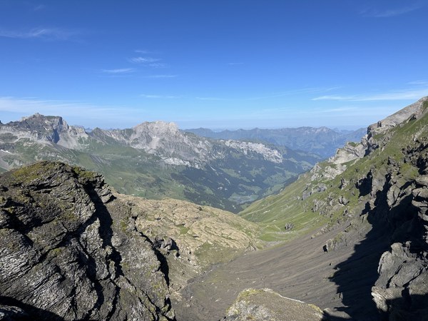
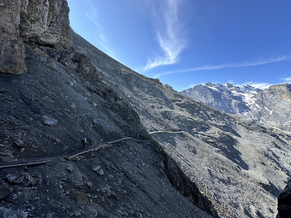
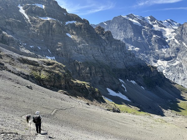
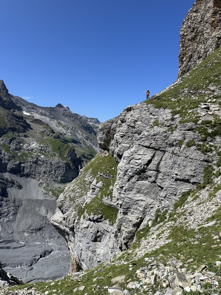
That plan quickly changed when - at the summit - we noticed a high route leading back into the UNESCO site. Looking at our maps, we saw that this high route also led to Berghaus Bundalp, but indirectly and in the shadow of multiple peaks and a glacier. We had a group discussion...
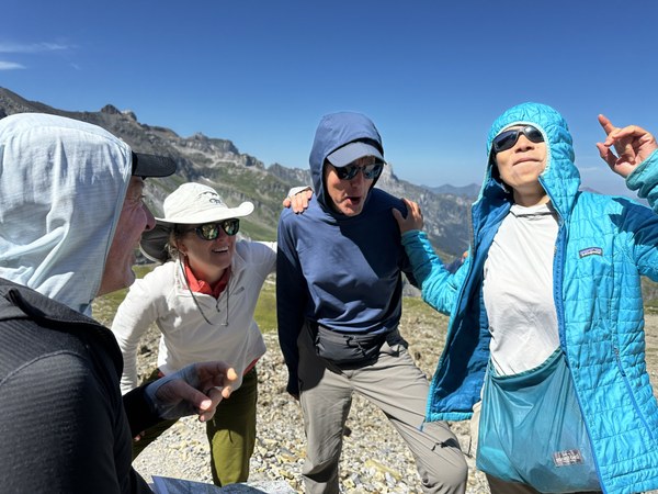
...and all agreed that we should take this high route.
We LOVED it - the route was remote, offering interesting and challenging terrain:
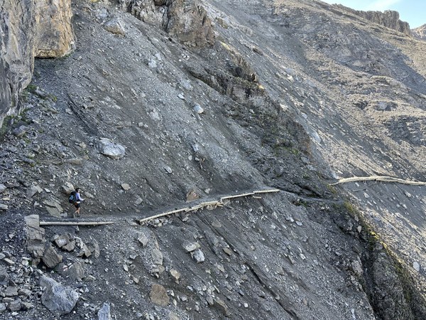
and unobstructed views of nearby peaks and glaciers:
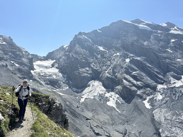
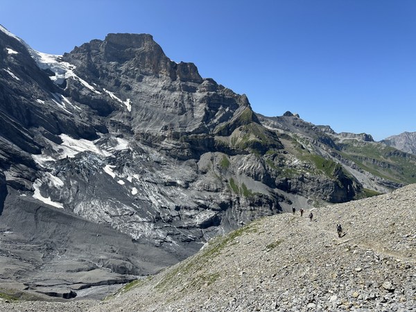
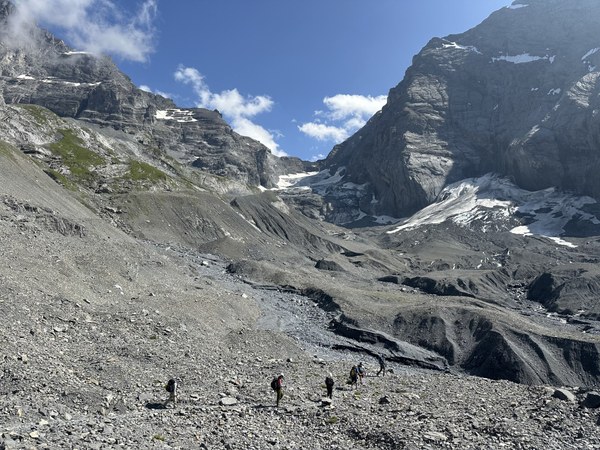
During our earlier group meeting at Sefinenfurgge, we noted that we'd be passing by a hut (Gspaltenhornhütte) on this route. Given the remoteness of the area, we assumed it would be a small, primitive hut. We were very pleasantly surprised:
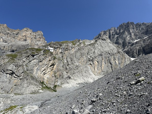

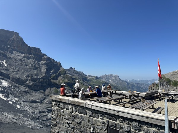
We were all smitten with this hut, and to be honest we wished that we had stayed here instead of Berghaus Bundalp.
This revised route turned out to be our favorite section of the entire trip!
Day 11: Berghaus Bundalp to Oeschinensee
8.7 miles, 4200' gain, 5100' loss
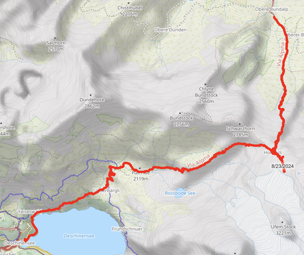
Back on our original plan -- an overnight at Berghaus Bundalp and trekking on the Via Alpina -- day 11 offered us two contrasting highlights.
First, we were challenged by the Hohtürli, the highest pass along the Swiss Via Alpina:
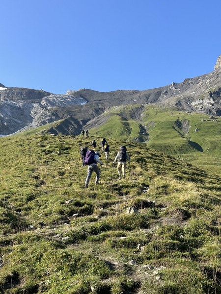
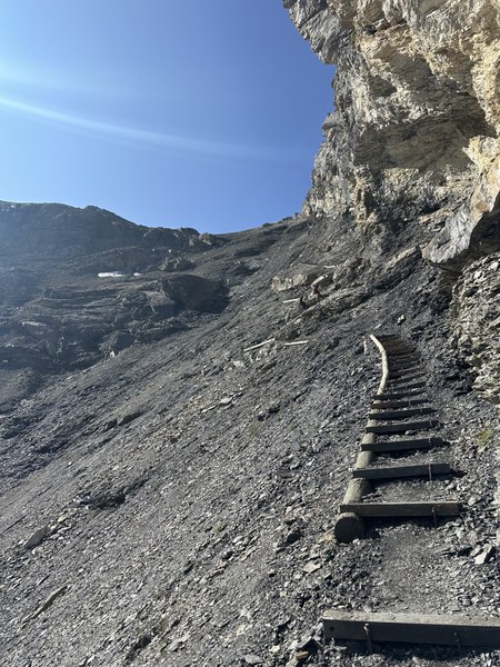
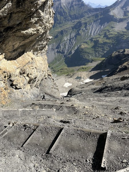
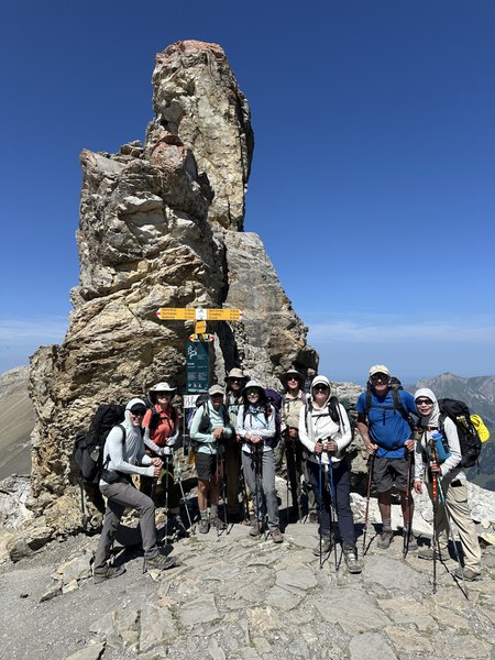
Hohtürli was a real challenge, but tackling it allowed us to have a break and lunch at the lovely Blüemlisalphütte, which sits just 10 minutes above the summit.

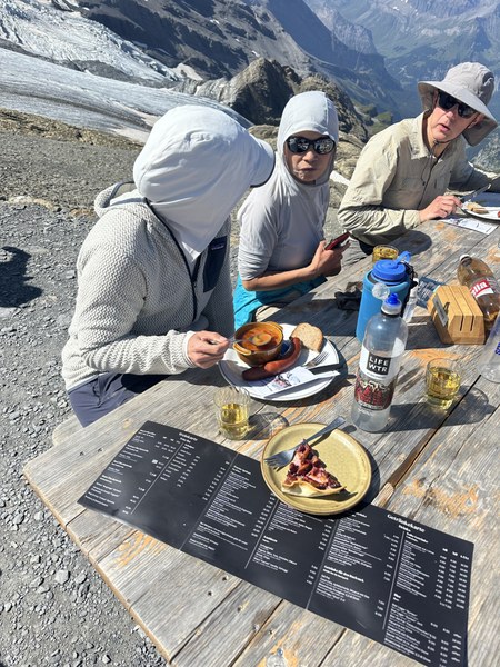
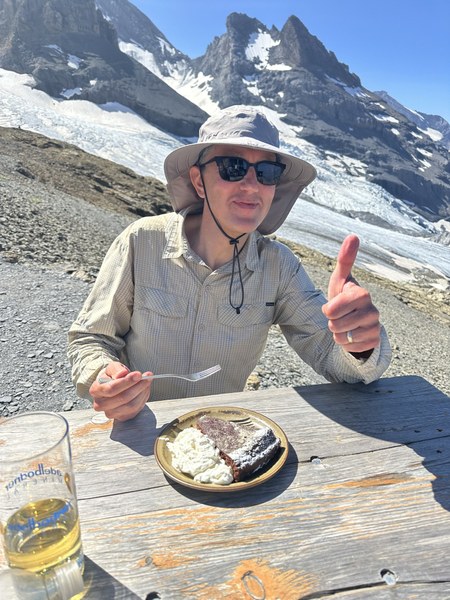
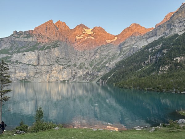
Second, we were rewarded with the Oeschinensee, a majestic alpine lake.
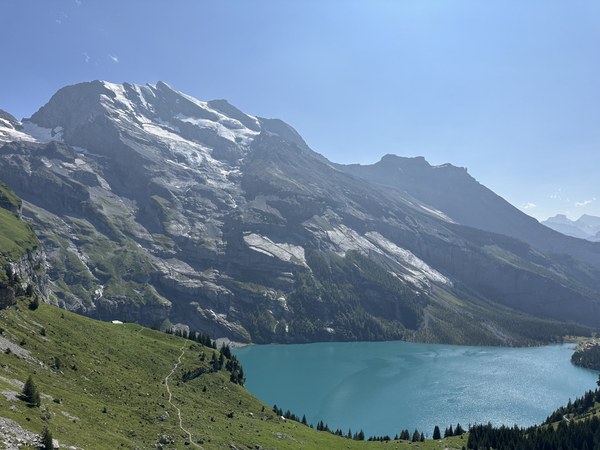
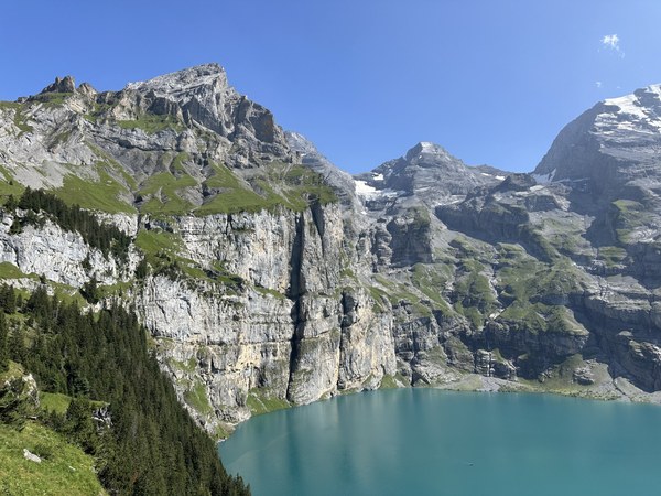
Serviced by a gondola and a popular trail, Oeschinensee was jam-packed and totally overwhelming at first; it was a difficult re-entry to civilization for many of us. But once the crowds cleared out, the area was serene and lovely.
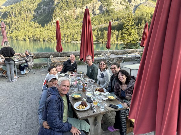
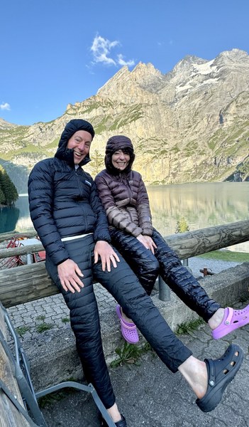
Day 12: Oeschinensee to Kandersteg
3.5 miles, 100' gain, 1500' loss

Our last day was a relaxing one. Some chose to walk a loop trail, others rented rowboats to explore the lake, and one particularly lazy participant (aka, the trip leader) opted to simply sit in the shade.
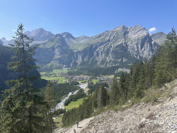
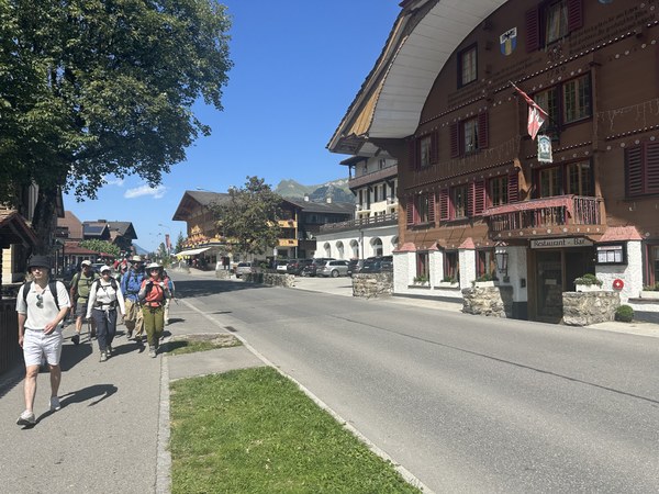
The trek out to the train station at Kandersteg was hot but short, partly on trail and partly on road.
Summary:
It was a fantastic trip, with lots of mileage, challenging ascents, knee-punishing descents, countless views, and wonderful camaraderie.
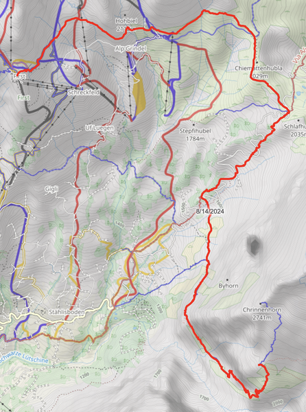
GPS tracks: Caltopo
Lessons Learned:
- As with all extended trips, adding "zero" days is critical -- 5 to 6 days of trekking followed by 1 day of resting is a good cadence.
- Sprinkling hotel stays amongst your hut stays is also a nice approach. It's a treat to get your own room and your own bathroom. We particularly liked our hotel stays in Mürren (Eiger Guesthouse) and Oeschinensee (Arva - Berggasthaus am Oeschinensee). And if you stay at the recommended hotel in Oeschinensee, be sure to order their dinner -- it was divine.
- Take advantage of Switzerland's excellent transportation system on bad-weather days. Their gondolas, busses, and trains are excellent and can often allow you to "fast forward" to the general area of the next day's hut.
- On your first day, by the time you have breakfast at your Interlaken hotel and take the bus + cog railway to Schynige Platte, you'll be getting a late start. You may therefore want to consider staying at Berghotel Faulhorn instead of the more distant Berggasthaus First on your first night.
- If you stay at Berggasthaus First on your first night, do not expect a classic mountain hut experience. It's a gondola station, so it feels like you're staying in the attic of an empty ski lodge. And don't order the schnitzel at their restaurant -- it was universally despised. "Schnitzel is dead to me" was one participant's summary of their stay at Berggasthaus First.
- Absolutely, positively endure the ascent (and the next day's descent) and stay at Glecksteinhütte and Berghaus Bäregg. They were WONDERFUL. And be sure to order the fruit tart at Glecksteinhütte -- it was the best of the trip.
- If you enjoy rocky terrain with sections of moderate exposure, take the "high route" from Sefinenfurgge to Berghaus Bundalp. The views are breathtaking, and it was our group's favorite section of the entire trip.
- Seriously consider skipping Berghaus Bundalp and staying at Gspaltenhornhütte. We were all taken by the hut's location, food, and design. It was lovely.
- If you stay at Berghaus Bundalp, ask to stay in the small, separate building to the east. If you stay in the main part of the hut, diesel fumes from their huge generator will be a constant annoyance.
 Colin Chapman