Trip Report
Winter Scramble - Zorro Point
Beautiful views of Mailbox, Revolution, Thompson Point, Russian Butte and the lakes below. Close to home and straightforward. Worth a try when conditions are good.
- Sun, Apr 17, 2022
- Winter Scramble - Zorro Point
- Granite Creek Trail
- Scrambling
- Successful
-

- Road suitable for all vehicles
-
We used Monty Vanderbilt's GPX track on Peakbaggers for guidance. His report on this site is excellent. The Granite Creek TH parking area is large and has a privy. Discover Pass permit required for parking. NWAC rated the area as "moderate avy danger" at all elevations on this day. I gave the scramble 4 starts instead of 5 due to the needed bushwacking right before reaching the saddle.
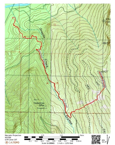
Our group of 11 experienced participants left the TH around 7:30am. The Granite Creek Trail remained snowless for the first mile or so. From there on it got deeper and deeper, but we were able to do a steady pace due to it being well compacted.
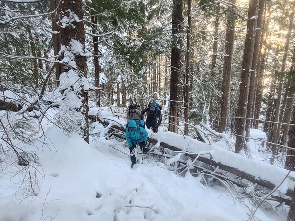
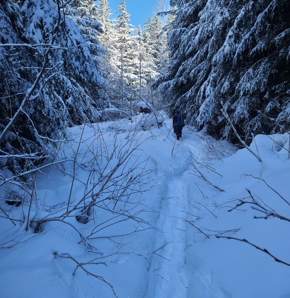 Two and half miles in we left the trail after taking a break. The trail breaking begins. The lower section had some bothersome fallen logs to crawl over, but it got better as we continued.
 At 3100' we crossed a 4WD road and at 3400' we crossed another 4WD road where we stopped to put on snowshoes and enjoy the views we now had. Mailbox was in clear sight just SW of us.
 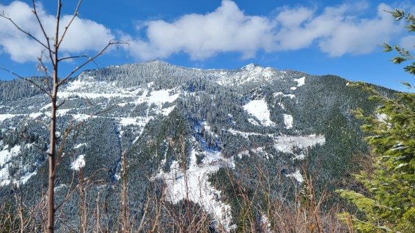 From here we continued up a snow covered talus field. The snow was firm enough for good trail breaking this early in the day and we were lucky to have so many helping with this.
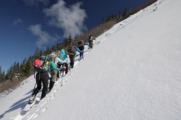
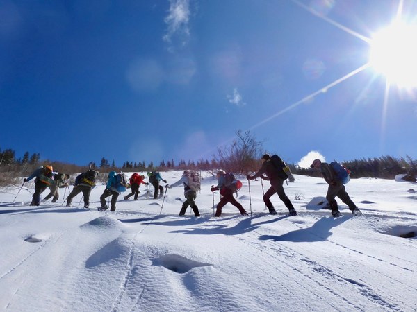 At about 4100' we cross another 4WD road and took another short break here. We'll now start doing a rising traverse aiming for the saddle between Zorro Point and Pt 4710' The 4WD road we were trying to follow was totally non-existent under the snow. Unfortunately, in order to reach the saddle and summit we have to bushwack through a grove of trees.
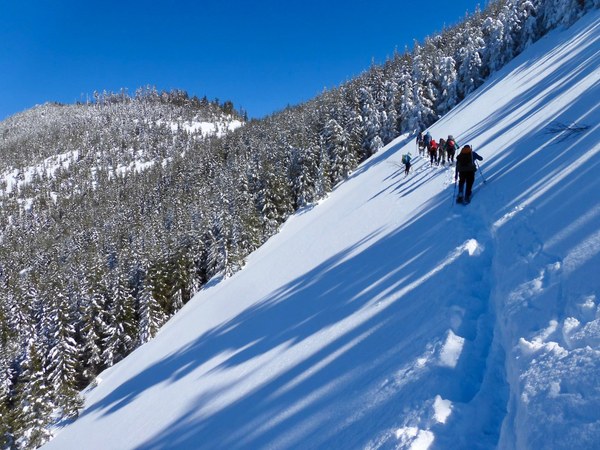
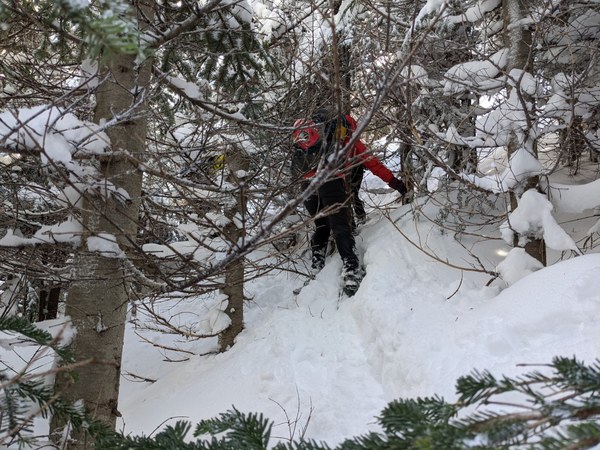
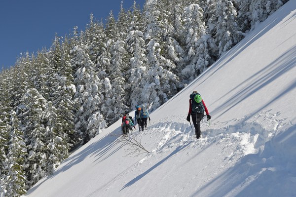 It was pretty thick in there, but luckily it was only a few hundred feet.
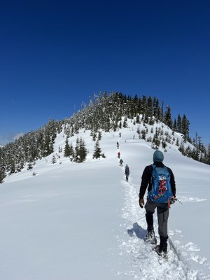
 Once we left the trees and arrived at the saddle the views were beautiful and Zorro Point is just straight ahead.
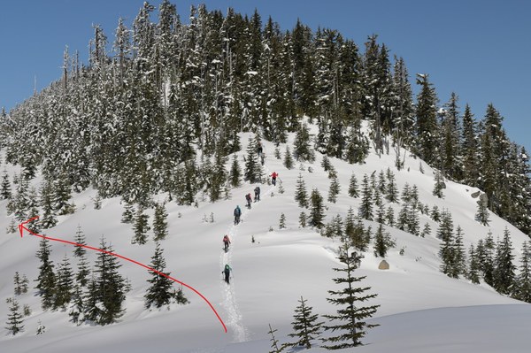
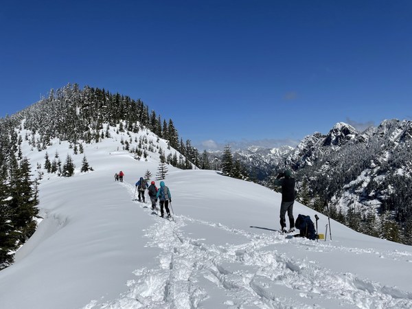 Instead of heading straight up the ridge where we had to bushwack and try to stay out of tree wells, we probably should have traversed about 40-80' below the summit trying to stay on the 4WD road.
  The views were beautiful and expansive from the summit. Rainier and Granite Lakes.
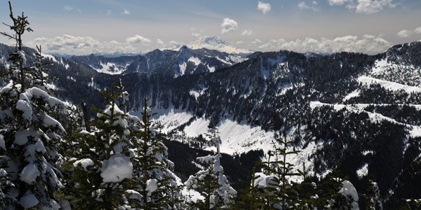
Mt Si After half hour on the summit, we start down around 1:15pm. Pt 4710 is straight ahead and we can see the route we took to the trees before we arrived at the saddle.
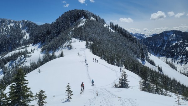 The snow is now sloppy as we head down. We take care crossing the open slopes by going in small groups.
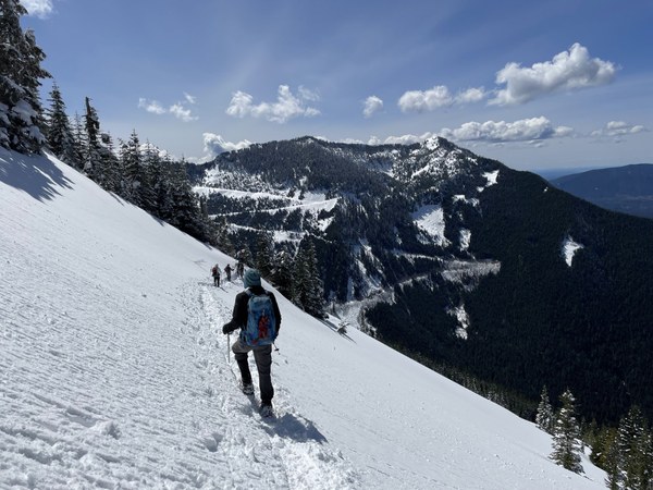
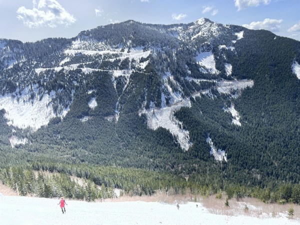 Once back on trail, I released everyone from the trip so people could go at their own pace back to the TH. Some people were back around 4:15 while others took a bit more time. What a great day with this fun, strong and competent group.
Our GAIA stats averaged 8.5 miles/3750' gain. 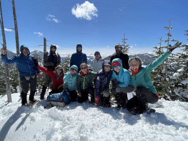 Thanks to Rick, Maureen, Rochelle, Xiulan and Chris for the use of their beautiful photos.
 Susan Shih