Trip Report
Sea Kayak - Dungeness Spit
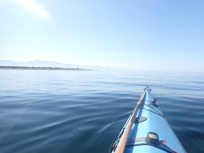
As usual the birds stayed and screamed at us as we rounded the point in the quiet water to see the barely whispering waves along the shore to look down the Strait to the western tips of Washington state and Vancouver Island and the open Pacific Ocean between them. I have watched the water looking black with menacing waves pounding the jetty at Ediz Hook on a cold winter day in February and the contrast is just amazing.
- Sat, Oct 12, 2024 — Sun, Oct 13, 2024
- Sea Kayak - Dungeness Spit
- Dungeness Spit
- Sea Kayaking
- Successful
-

- Road suitable for all vehicles
-
TIDES: DUNGENESS 0 @ 0506 / 7.5 @ 1331 / 5.3 @ 1932
CONDITIONS: SUNNY, LITTLE OR NO S BREEZE, SEA CALM, VISIBLITY EXCELLENT, TEMPS 50S-60S
SIGHTED: SEAL, SEA LION, KINGFISHER, CORMORANT, GREAT BLUE HERON
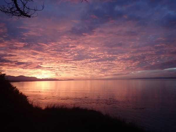
I had arrived on Friday to get a campsite. It was mostly overcast and chilly with night temps in the 40s. But I was rewarded by a beautiful sunset!
Our third paddler dropped out so it was only Gabby who met me a little after 0900 at the Cline Spit boat launch. I had already spoken to Jed at the lighthouse to tell him we should arrive there around noon. It was quiet there for a change with very few boaters and we were the only kayakers I saw all day. One of the local fishers chatted with me as I ate my breakfast. There is a nice SaniCan structure available at the top of the ramp and plenty of parking available today.
Dungeness Spit runs approximately 5 miles east and west with Graveyard Spit about a mile north and south intersecting it forming a “T” at about a mile west of the lighthouse on the east end. Dungeness Harbor is on the west side of Graveyard Spit with Dungeness Bay on the east opening out into the Strait of Juan de Fuca. Cline Split forms a hook just west of the southern end of Graveyard with the ends almost touching about a third of a mile apart. These formations create what looks like an unbroken shoreline looking west from Dungeness Bay. Storms have breached the spit often and at times the lighthouse has been on an island. But the sand eventually gets replaced by the Strait of Juan de Fuca. There have been over 20 ships wrecked on its shores since records started being kept and countless more temporarily stranded.
The original lighthouse and its sister at Cape Flattery on Tatoosh Island were built at a cost of $39,000 and commissioned on December 14, 1857. The area was once known as Whiskey Flat and was named by George Vancouver as New Dungeness after a similar area in the Straits of Dover, England. Graveyard Spit earned its name after a skirmish with 26 S’Klallam tribal members on Sep 21, 1868 left 17 Tsimshians dead and one pregnant woman alive. The victims were buried on the spit, hence the name. Any and all access to Graveyard Spit is prohibited year round. Most of the southern areas on Dungeness Spit and all of the area beyond the lighthouse is also prohibited year round. The rest of the western side is open year round while areas in Dungeness Harbor are seasonal.
It was a bit of a challenge getting Gabby’s boat off her new overly tall car but we managed it without any damage done and were soon packed up and launched about 1015. We headed west along the southern shore, listening to the trilling of eagles but not seeing any. There was a fisher sitting in his boat by his net that was tied onshore that stretched at least halfway across the bay surface which we crossed over along our way. He looked up but didn’t say anything so no harm done.
The water level was not very high so we were not able to go back very far into the marshes at the back of the Harbor and so were well away from the no go signs of the Dungeness Recreation Area. After spotting a kingfisher we made a U-turn and began heading east on the north side of the Harbor keeping well away from the boundary markers for Graveyard Spit.
Cormorants, gulls and the occasional GBH flew over our heads along the way. There is a marker at the end of Graveyard Spit and a 30 degree heading will keep you east of the boundary zone straight over to the lighthouse. Reservations are required to land or get tours of the lighthouse at 360.683.6638. The lighthouse was easy to see with Mt Baker in the background on such a beautiful day!
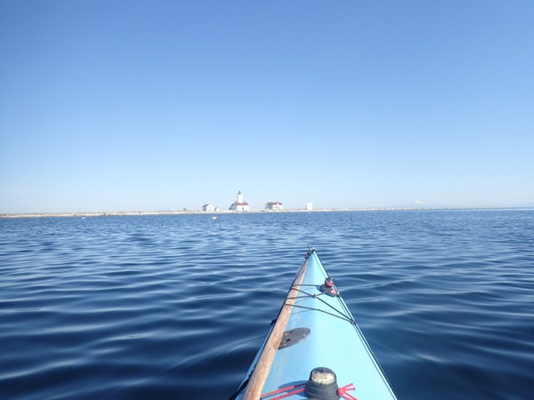
The old battered sign indicating the landing zone has been replaced with a more readable one and two brand new looking wooden posts mark the area. We arrived at 1215 with only about an hour left before high tide so landing and pulling up our boats on the plentiful driftwood logs was easy. We carefully climbed over the wood to reach the well trod footpath to the pretty lighthouse and its well kept grounds to be welcomed by two smiling volunteers and a few visitors. We had our choice of picnic tables to eat our lunch. We were approached by a couple of locals one of whom was a retired engineer who also volunteers at Protection Island. He was happy to hear that we do not land on that reserve and also stay well away from its shores. He told us the lighthouse originally stood at the end of the spit which is growing at a rate of 15” a year!
It was about 1400 before Gabby and I headed back to our boats after a visit to the neat and clean restroom. We decided to proceed the half mile to say hello to the wildlife at the end of the spit. Unfortunately it only takes one seal to get all the others in or out of the water in spite of the distance we made sure to keep away from the shore. As usual the birds stayed and screamed at us as we rounded the point in the quiet water to see the barely whispering waves along the shore to look down the Strait to the western tips of Washington state and Vancouver Island and the open Pacific Ocean between them. I have watched the water looking black with menacing waves pounding the jetty at Ediz Hook on a cold winter day in February and the contrast is just amazing.
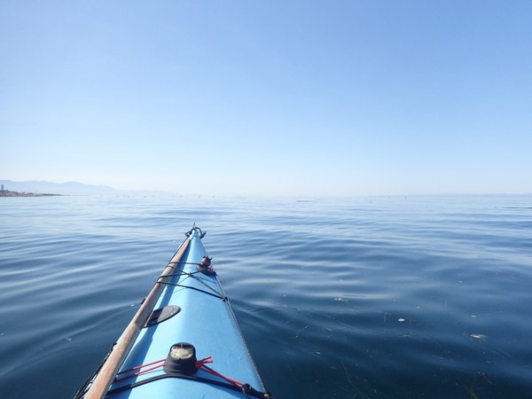
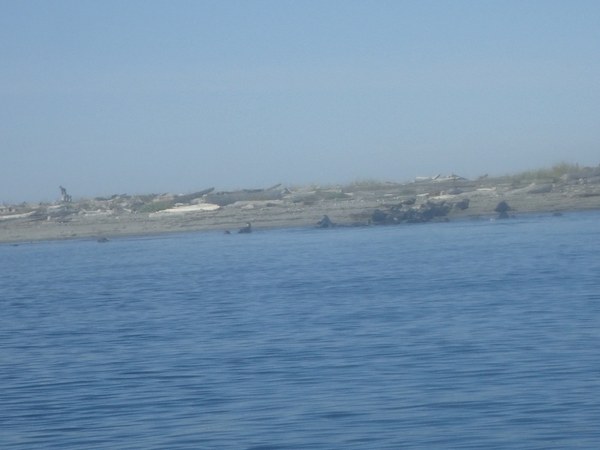
I wasn’t sure if we could land on the north side of the spit (it turns out you can) so we turned around and headed back into Dungeness Bay. Just past the point we saw a pack of huge sea lions wumping and see sawing their way up the beach. I used the zoom on the camera but it is still hard to appreciate the sheer size of them all!
After a nice and leisurely paddle on a 270 heading against a barely noticeable ebb we arrived back at Cline Spit boat launch about 1545. The tide moves rapidly in this shallow area so it was a very short and easy haul back up the beach with our boats and gear. A very kind and much taller than me man helped Gabby get her boat back on her car; mine is easy on my Honda. We got everything loaded up and our clothes changed and headed back to our campsite in warm sunshine at the Dungeness Spit Rec Area ($40 a night, another $10 for a second car) for dinner, a walk with another beautiful sunset and a great campfire afterwards!
For more information on Dungeness Light Station see https://www.historylink.org/File/7066#:~:text=The%20New%20Dungeness%20Light%20Station%2C%20built%20in%201857,mainland%20into%20the%20Strait%20of%20Juan%20de%20Fuca.
 Lisa Johnson