Trip Report
Winter Scramble - Cow Heaven & Helen Buttes (winter)
Great early season trip. Although many do this in 1 day, I recommend 2 days to thoroughly enjoy the amazing views.
- Sat, May 13, 2023 — Sun, May 14, 2023
- Winter Scramble - Cow Heaven & Helen Buttes (winter)
- Cow Heaven & Helen Buttes
- Scrambling
- Successful
-

- Road suitable for all vehicles
-
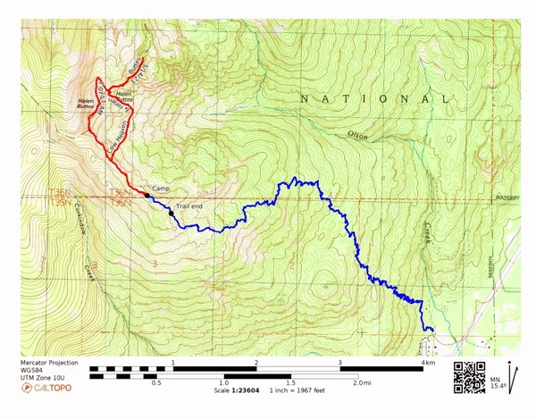
Our stats for this scramble was 14.25 miles/5800' gain. The blue track is from the TH to camp at 4800'. The red track is our route to Helen Buttes - NE Summit. We tagged Cow Heaven along the way. My GPX track is on Peakbaggers.
The Cow Heaven trail begins just past the Marblemount Ranger Station. We had plans to stop there to talk to a ranger, but it was closed which was surprising for a Saturday at 10:40am. Thankfully the restroom was open so we took advantage of that before driving the few minutes to the trailhead. The parking area is pretty small, for about 4-5 cars. Photo of the parking area taken on our return.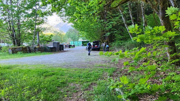
By 11:40am we were on our way.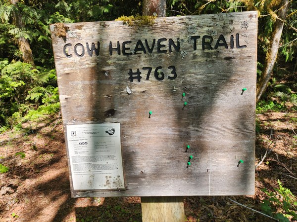
The trail is in excellent shape and we cross a couple streams with no problems while hiking the many switchbacks up. Thankful to be in the trees on this very warm day.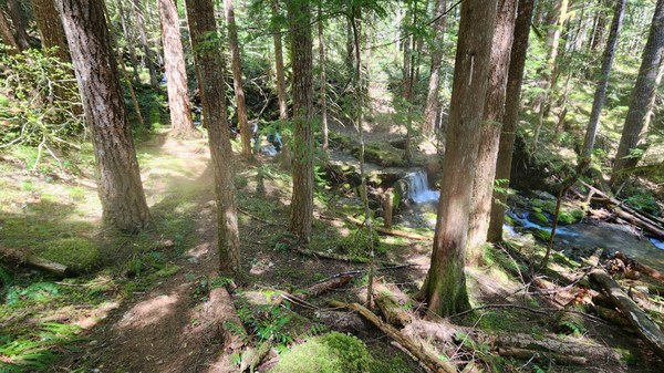 About 2.5miles in (3250') we encounter our first patches of snow. It's a while before it becomes consistent and occasionally we're walking what feels like a rocky stream bed due to the snow melt, but it's never a problem.
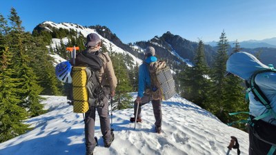
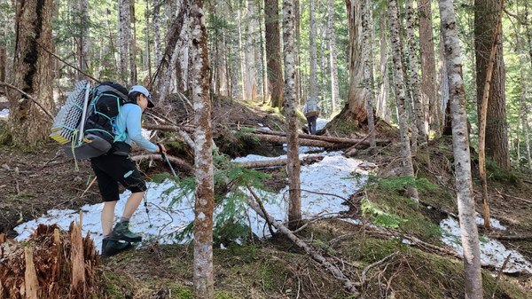 At about 4300' we break out of the trees for our first views. The snow is consistent and definitely softer than in the trees, but no snowshoes are needed.
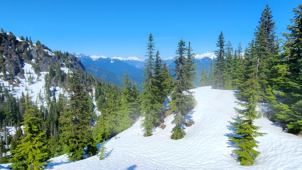 And then it's up the ridge where the official trail ends in about another .25 miles.
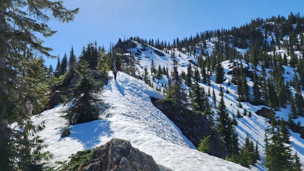 Not far from where the official trail ends, we get our first view of Helen Buttes - NE peak.
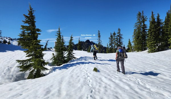
We can now also see our route to the peak as well.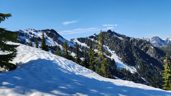
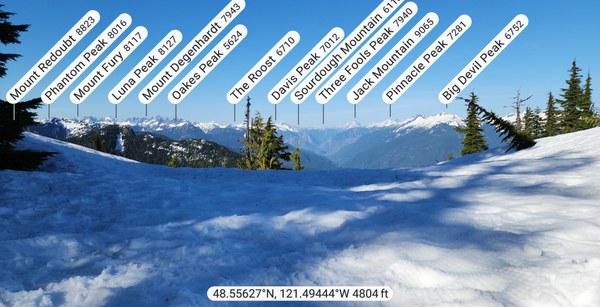
Our campsite (@4800')is next to a small body of water as shown on the map, but it's not melted out at all so we'll be melting snow for water. The views are so beautiful from this ridge and it's such a comfortable and calm evening with no one else around. Next few photos are from our campsite on the ridge.
1. Looking northeast:
2. Looking north at sunset.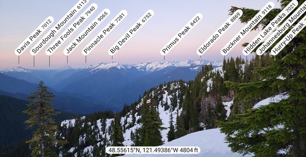
3. Looking south.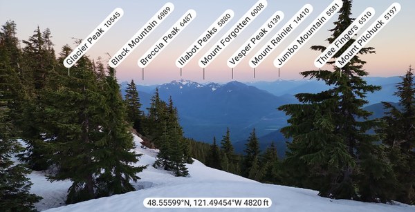
Jason W's sunrise photo the next morning.  Day 2 - continuing on the ridge for about 1/3 mile before dropping down below the SW butte.
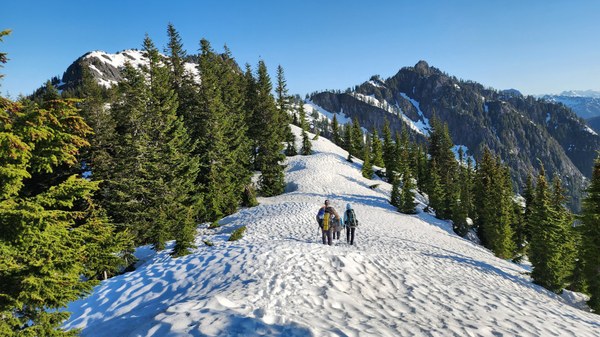 Dropping down off the ridge and losing about 400'.
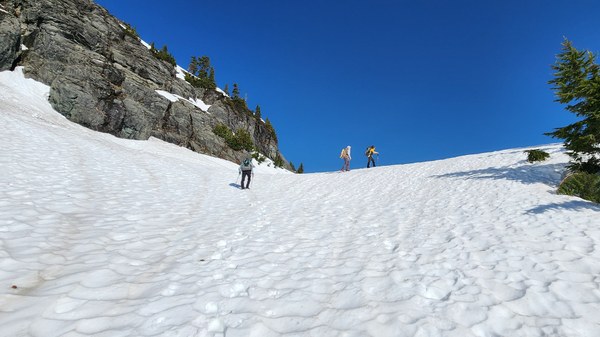
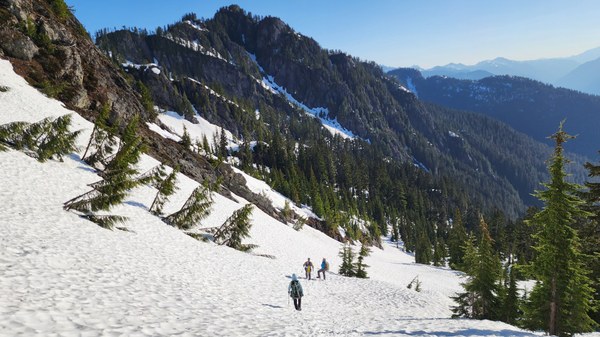 Once we have bypassed the SW butte we head up. We do this to avoid the class 4 terrain on the SW butte.
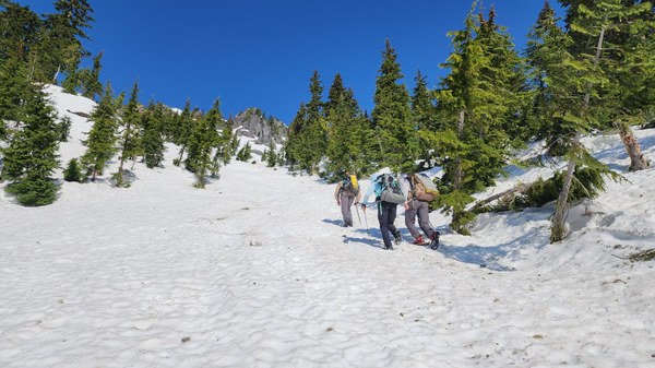 Back on the ridge and at the saddle between the 2 buttes.
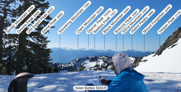
 Taking a break at the saddle.
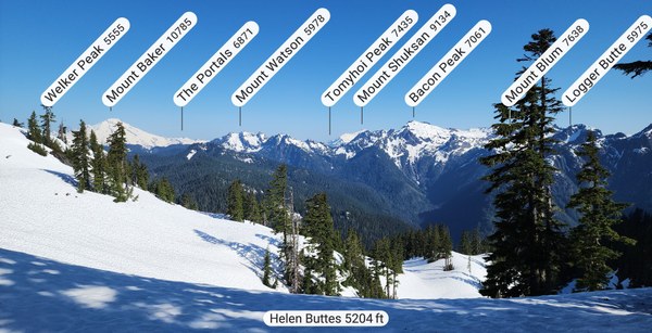
 Looking north. What a great view of Baker, Shuksan and Bacon.
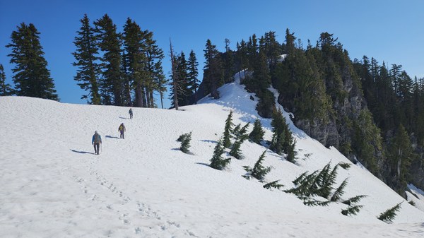
 Continuing along the ridge for HB-NE peak.
 We need to go over 2 bumps, do a little bushwacking and a few class 3 moves before arriving at the summit.
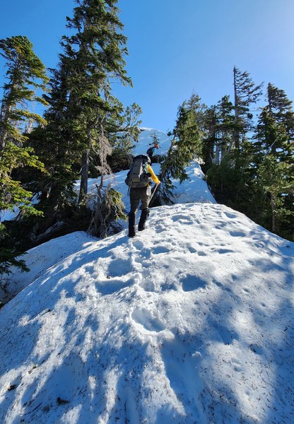 The summit as seen from the ridge.
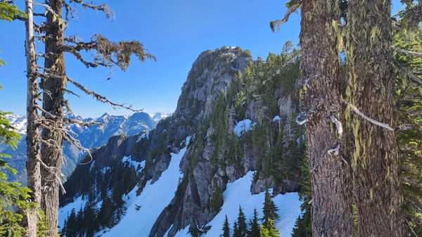
Bump #2. The summit is behind with a little snow on top.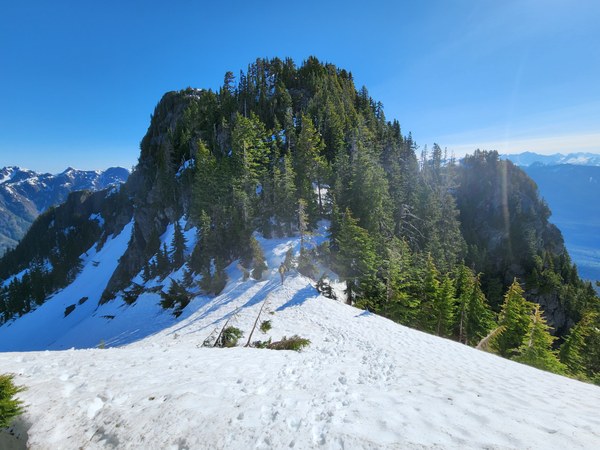 Up the short and easy 3rd class slope.
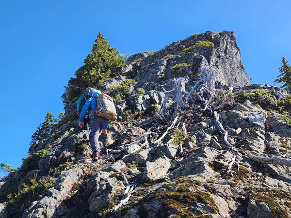 A little bushwacking for good measure.
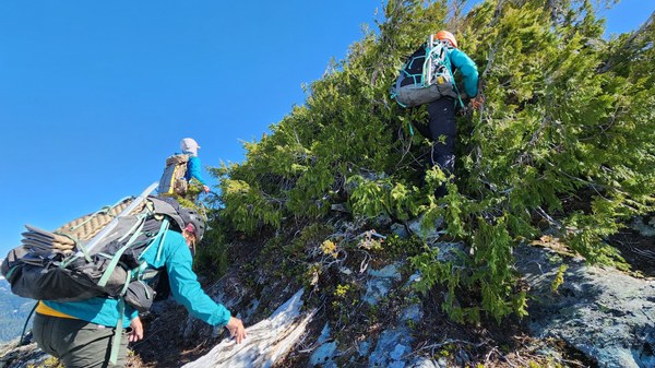 Looking back at HB-SW peak.
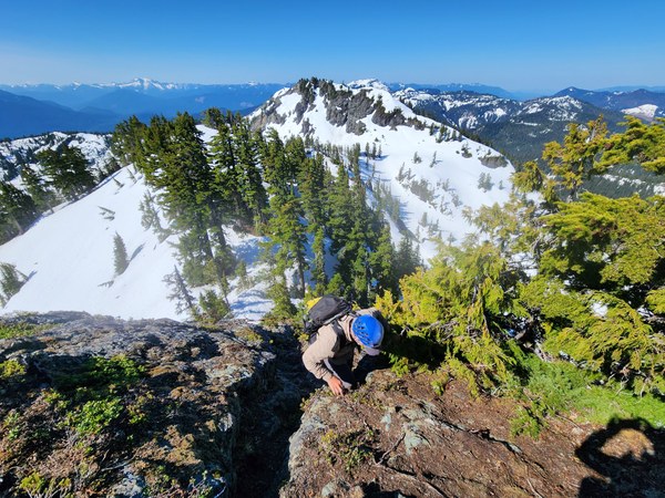 And we're there! That bare rock holds the summit register.
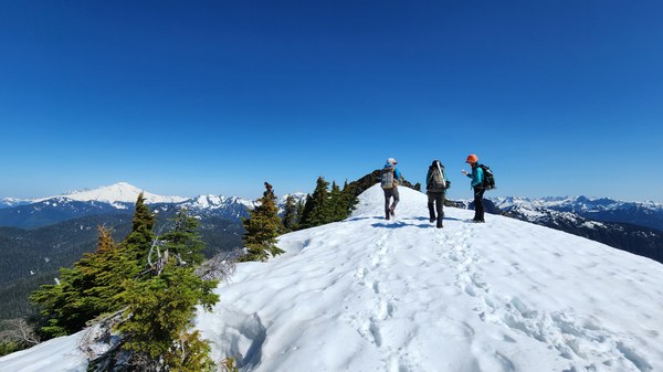 The views are awesome!
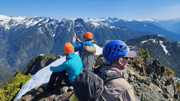 Down we go. The SW butte is on the right.
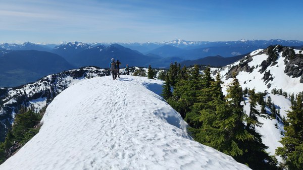 Our route, counter clockwise.
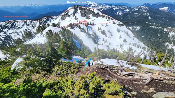
After returning to the saddle we decided to give the SW butte a try. The route up the broad north side of the SW butte was easy until reaching the class 4 area.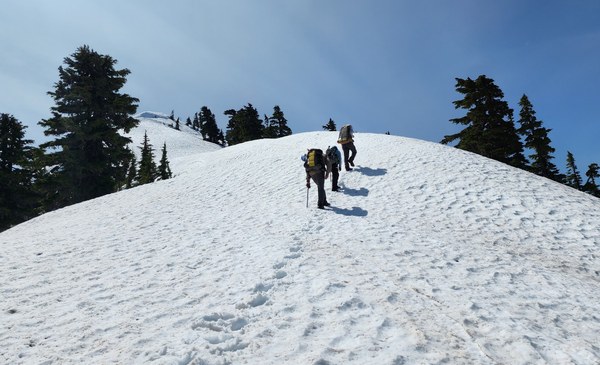 By the time we got close under the SW butte we decided it wasn't worth going up to tag it. Besides class 4, beta about it being an awful bushwack made it not very desirable. And for me, it wasn't on any list anyways.
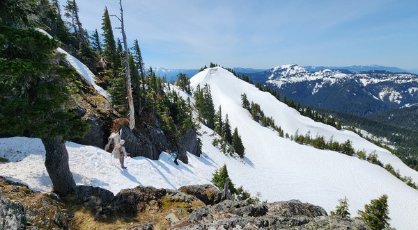 Despite not tagging it, it was a great way to return to camp due to all the views along this ridge. A good look at the ridge we're camped.
 Looking back at HB-NE peak.
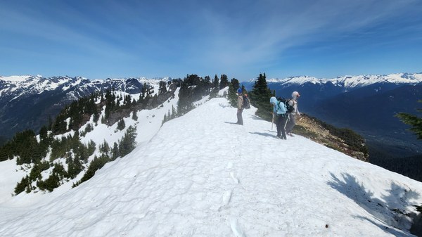 Back down to where we dropped down and the ridge where we camped.
 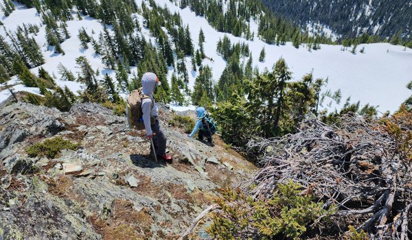 Once back, we have some coffee, pack up and head back in time to have a nice dinner at Mondo's before the drive back to Seattle. What a wonderful weekend!
 Susan Shih