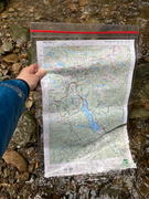
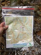
Columbia River Gorge East, OR No. 432S
Green Trails Maps
Mountaineers Members Discount
Log in to access the promo code and receive 20% off your order.
Description
Description
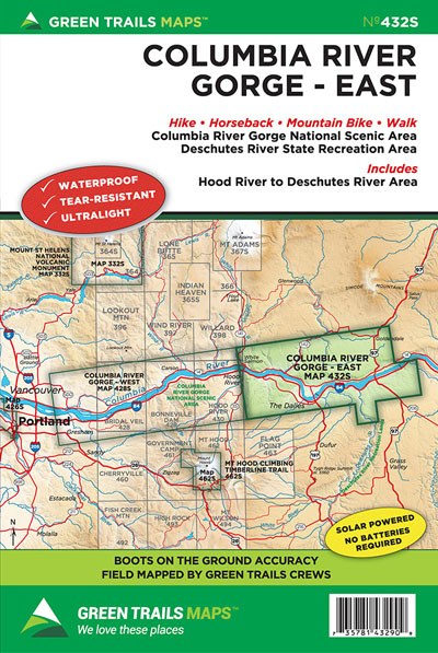
Discover the wide array of trails in the Gorge’s eastern sunnier and drier reaches where waterfalls succumb to golden hillsides of resplendent wildflowers and impressive basaltic canyons. This special series map covers the Columbia River Gorge National Scenic Area from Hood River and White Salmon east to the Deschutes River and Maryhill. Map also includes detailed insets of some of the Eastern Gorge’s best mountain biking areas; the Coyote Wall, Catherine Creek and Deschutes State Park. You’ll also find the entire 31 mile long Klickitat Trail, Columbia Hills trail network, and The Dalles’ Waterfront Trail on this map.
Map Scale 1:63,360 with 1:31,680 inset of Deschutes State Park and Coyote Wall - Catherine Creek
CLICK HERE to search all maps via Green Trails interactive map feature.
Map Scale 1:63,360 with 1:31,680 inset of Deschutes State Park and Coyote Wall - Catherine Creek
CLICK HERE to search all maps via Green Trails interactive map feature.
