Trip Report
Intermediate Alpine Climb - Mount Stuart/West Ridge
2-day climb using the "tunnel" variation after Long John Tower.
- Sat, Sep 9, 2023 — Sun, Sep 10, 2023
- Intermediate Alpine Climb - Mount Stuart/West Ridge
- Mount Stuart/West Ridge
- Climbing
- Successful
-

- Road suitable for all vehicles
-
Trail was in good condition. No water (or snow to melt) on route between Lake Ingalls and Ingalls Creek. Encountered some lose rock on technical portion of the route after the West Ridge Notch.
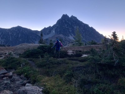
We left the Esmeralda TH at 3a, and arrived at the North end of Lake Ingalls (traversing the west side of the lake) at around 5:30a and filled our water containers (4-5 L for each person).
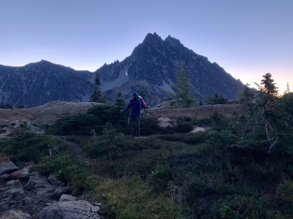
The rising traverse to the base of the climb was uneventful following a well worn path. We arrived at the base of the 3rd class white granite stair case (~7200 ft) at 7:45a and took a short break before beginning the climb.
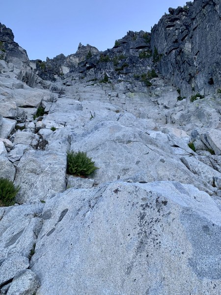
This section of the climb was delightful with solid hands and feet all the way up to the ridge at ~8400 ft when Long John Tower comes into view. We traversed over to LJT and took the 4th class route to the right of the black rock beneath the face. This section is easier than it looks from a distance.
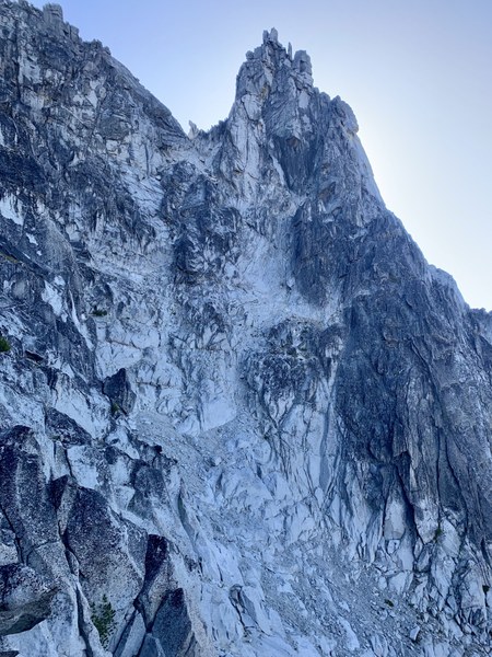
Once past the tower, we opted for the variation with the "tunnel under foot" and "butt scooch slab" as it sounded fun for our group. We expected this section to take longer than the bypass, but a group following us (moving faster than our group) did not gain much time on use taking the alternate route. This variation was quite enjoyable and highly recommended.
RobUSA and cluck both offer excellent beta for this variation.
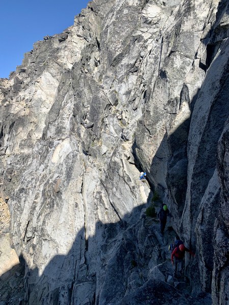
We took a lunch break in the sun just below the West Ridge notch before scrambling up 100-200 ft to the base of the technical climbing. Using a 50m rope, we reached the summit in three pitches, but the route wanders a bit and breaking it up into more pitches could have reduced some rope drag. On the second pitch up a steep gully the rope lead dislodged a large rock (about the size of a microwave) and was fortunately able to hold it long enough for the belayer to traverse out of the direct fall line before the rock released down the route directly over the belay station. We were fortunate that no one was injured and our rope and anchor remained intact. There was an alternate belay station immediately before this gully that would have kept the belayer out of the fall line.
After a short down climb past this point to a sandy ledge, our rope team scrambled up to the first set of hand cracks directly above which was harder than expected (5.8+?). We removed packs for this short pitch and hauled them once above. Our second rope team found the 5.6 hand cracks further to climbers right by traversing ledges. At this point we stashed our rope and scrambled that last ~100 ft to the summit.
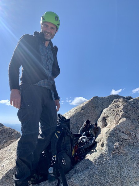
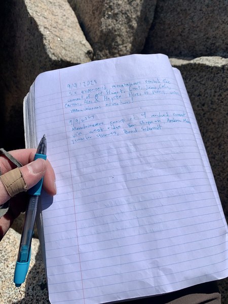
We hung out on the summit and soaked in some sun until about 4:30p when we began the decent down to Ingalls Creek. It is easy to get funneled into the wrong couloir from the summit. Our group benefited from bringing a GPS track to follow to ensure we stayed high enough to enter the Cascadian Couloir. The entrance into the couloir is steep and has many lose rocks. It is helpful to be aware of the fall line for your party and those around you to avoid rockfall.
We made it to Ingalls Creek by 8:30p, cooked dinner, filtered water, and fell asleep. The area before the log bridge has many large flat campsites. The next morning we packed up and made it back to the cars in about 2 hrs. Although a car-to-car would have been possible, getting some rest before the climb to Longs pass made this section much more enjoyable than it would have been after a long day on the mountain.
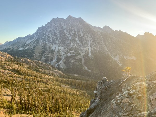
Timeline:
Saturday
3a: Depart Esmeralda Trailhead
6a: Depart Lake Ingalls with full water containers
7:45a: Base of white granite staircase (beginning of climb)
9:30a: Ridge/notch before LJT
12:00p: West Ridge Notch
3:15p: Arrive Summit
4:30p: Depart Summit
8:30p: Camp (Ingalls Creek near Log Crossing)
Sunday
6:00a: Depart camp
7:00a: Longs Pass
8:00a: Esmeralda Trailhead
 Ben Chapman