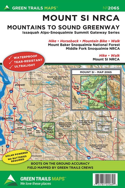
Mount Si * NRCA, WA No. 206S
Green Trails Maps
Mountaineers Members Discount
Log in to access the promo code and receive 20% off your order.
Description
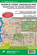
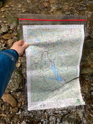
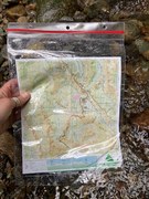
Rising above North Bend at the confluence of the three forks of the Snoqualmie River, Mount Si is an iconic landmark and a popular hiking destination. The 4167-foot mountain is part of a large Washington DNR Natural Resources Conservation Area containing several other peaks and an excellent network of trails. Map 206S features all of the trails on Mount Si, as well as Little Si, Mount Teneriffe and Green Mountain. This map also features the lower Middle Fork Snoqualmie River Valley covering Mailbox Peak, the CCC Road Trail, South Bessemer Mountain, Granite Lakes, and Thompson Lake. Map 206S also contains several popular trails along the I-90 corridor just outside of North Bend; Mount Washington, Olallie State Park, McClellan Butte, and Dirty Harry’s Peak.br>
Original Edition 2002; Latest Edition 2021
Map Scale 1:24000
Original Edition 2002; Latest Edition 2021
Map Scale 1:24000
