Trip Report
Basic Snowshoe - Commonwealth Basin
From I-90 overpass, we proceeded to Sahalie Ski Lodge to start our trip into the Basin. To reach the constructed bridge over Commonwealth Creek, we crossed two tributaries with open, running water.
- Fri, Jan 5, 2024
- Basic Snowshoe - Commonwealth Basin
- Commonwealth Basin
- Snowshoeing
- Successful
-

- Road suitable for all vehicles
-
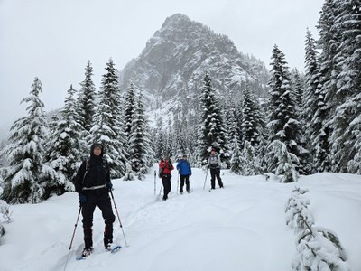
- Started our northward trip into Commonwealth Basin from the Sahalie Ski Lodge area. At the time, there were no vehicles or people at the ski lodge or slope. And, given the depth of new snow, appeared there had been no one there for at least a week or more (since last significant snowfall). Having been warned by other trip leaders to stay out of any Sahalie Ski Lodge areas with posted "private property, no trespassing" signs, our group stayed to the right of any signs or areas that appeared previously groomed and headed into what looked like a road to the left of and just past the small A-frame shed. For about 1/4 mile, this route provided an easily followed path in fluffy, untracked snow, but abruptly ended in the trees. From there, we zigzagged our way through the trees uphill to the reach the road that came directly up from Sahalie Ski Lodge & we could look back to see the ski lodge. On the topo map, it appeared the road back towards the ski lodge ran through what was posted as "private property, no trespassing". Now, back at home, writing this trip report and checking the King County Parcel viewer, it can be seen that the Sahalie Ski Lodge property is more extensive than realized (the yellow area). The blue line was the route we traveled. In retrospect, I'd say it is not advisable for a Mountaineers trip to take this route without prior permission because it crosses private property.
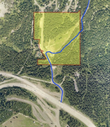
Sahalie Ski Lodge property (yellow). Our track (blue) 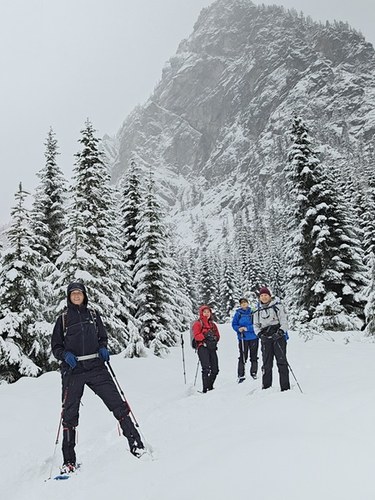
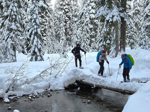
Photo op near base of Guye Peak, at north end of road that heads north from Sahalie Ski Lodge. From the north end of the road that heads up from the ski lodge (photo op in picture above), we backtracked to locate a route through the trees that would lead northeast and further into Commonwealth Basin. We had to cross two tributary creeks with open, running water. The 1st was not wide, but had quite steep sides which made getting down to water level and back up, again, a challenge. Water was shallow and we didn't have to step in the water. Where we crossed the 2nd tributary, it was wider and, in some places, had at least 6" of flowing water. We carefully passed over using a narrow, fallen tree that laid above the water. One of our group opted to step in the water (but gaiters prevented water from going into boots).
From there, we followed the west side of Commonwealth Creek to search for one of the constructed bridges over the creek. After a bit of back and forth, we found the log bridge that follows the summer trail. The 1st three who crossed the bridge stepped sideways to maintain balance and pack the snow for the last two, who snowshoed straight across.
 Once across the bridge, we stopped for a brief lunch break. Then, headed downhill and back to the trailhead. For the entire trip, we encountered only one other person and their dog on the way back to the trailhead. The predicted snowfall didn't happen and there were moments of blue sky and sunshine. Our group had the pleasure of tromping in untracked snow, navigating through the forest and mid-30's temperatures. A perfect day.
- Friday trip during NWS winter weather advisory for adverse weather that never materialized.
- As we snowshoed north from Sahalie Ski Lodge, several times we heard the avalanche cannon at Alpental. The sound of the resulting avalanche echoed off Guye Peak and was rather dramatic.
- Per NWAC, avalanche conditions at our trip elevation was "green".
- Lovely snow conditions in the Basin today.
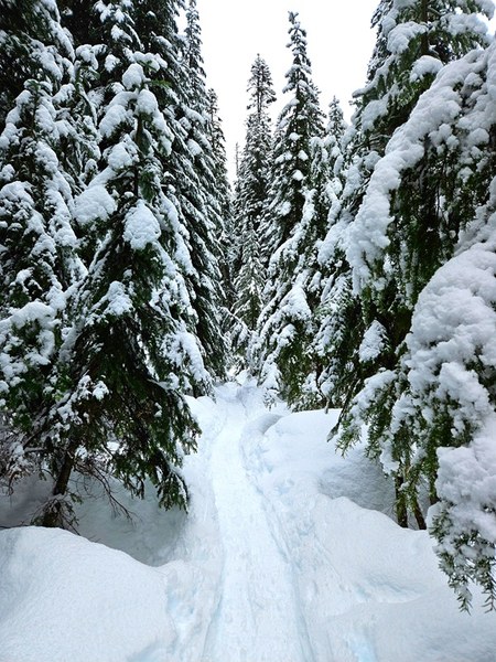
Nice snow and temperature conditions today. No snow bombs! 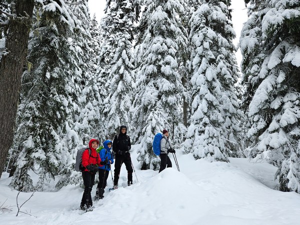
Happy snowshoers in Commonwealth Basin 1.5.24
 Roseanne Lorenzana