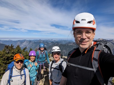
Trip Report
Alpine Scramble - Snoqualmie Mountain
enjoyable loop via magic ledges
- Sun, Sep 17, 2023
- Alpine Scramble - Snoqualmie Mountain
- Guye Peak, Snoqualmie Mountain & Cave Ridge (PCT)
- Scrambling
- Successful
-

- Road suitable for all vehicles
-
No water, no bugs, only met a few people on the descent.
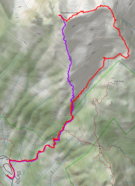
This was a loop starting at lot A7 in Alpental, going up the creek bed West of Cave Ridge to gain the East shoulder, ascending to right below the East peak, traversing to the main peak via the magic ledge, and down the regular trail.
Some have dropped out after reviewing the beta on the magic ledges and the blind corner. The few pictures that exist, due to the lack of depth perception, make it look like walking on air next to vertical rock, and that would understandably cause anxiety - and it doesn't help that information on the route is scarce (hopefully this report can help fix that). In reality, it's not as sketchy and scary as it appears - as it turns out, the blind corner is a paper tiger.
Anyhow, here's our route - red up, violet down.
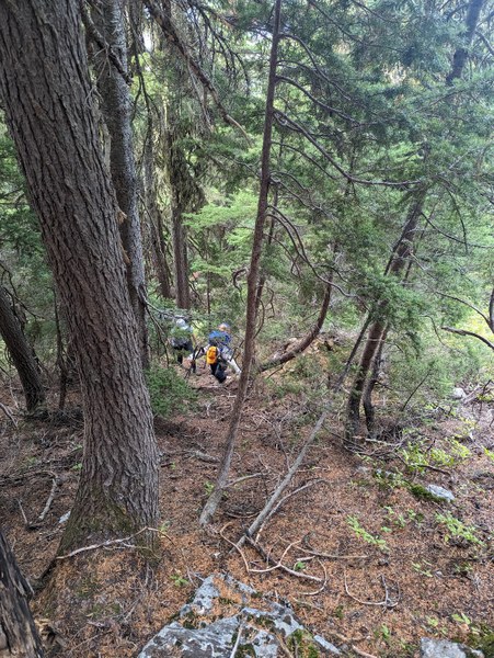
On the way up, we left the trail at about 4750, and bushwhacked up steep dirt for a bit until it flattened out. My la Sportiva TX4 approach shoes, normally reliable, were struggling somewhat to maintain traction on the steep dirt, so I had to make extensive use of veggie belays not to slide all the way down.
Soon enough, our efforts were rewarded with some handsome views:
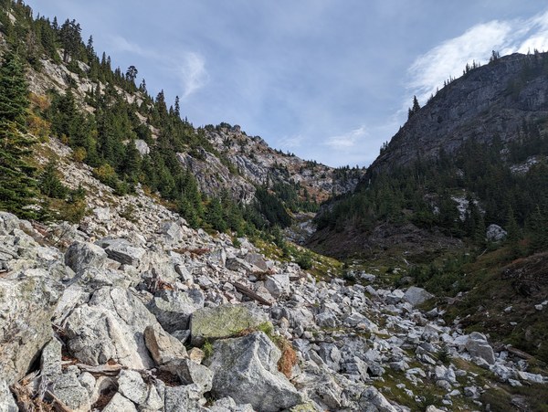
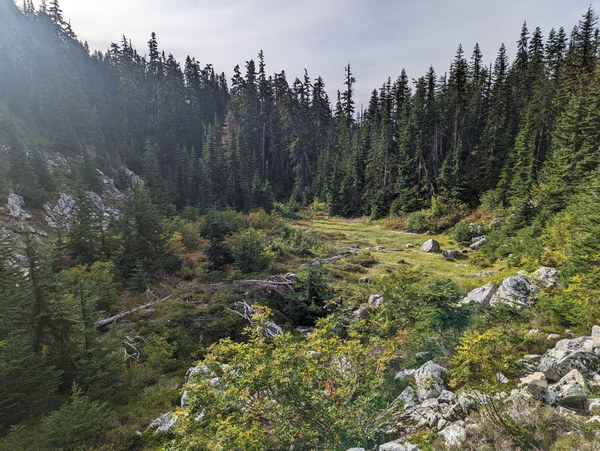
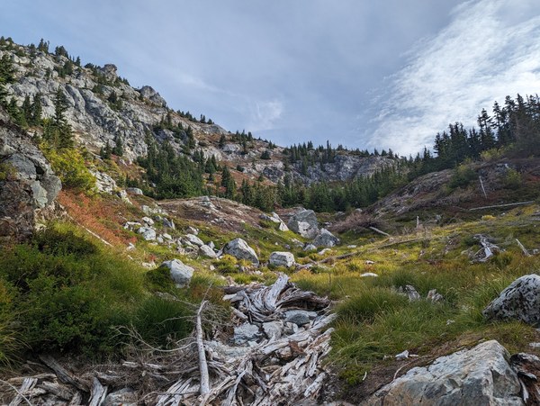
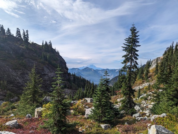
All that goodness within an hour of driving, and not a human in sight.
Chewing and having a good time in a lovely spot:
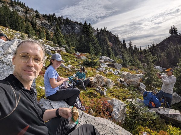
Having gathered some energy, we proceeded towards the saddle between the Cave Ridge and the Snow Dome, and slowly but steadily made our way up the ridge while enjoying the not so shabby views as they were rolling in in front of us.
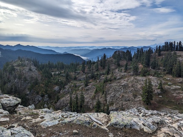
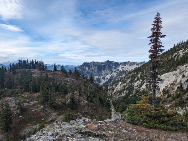
Getting closer:
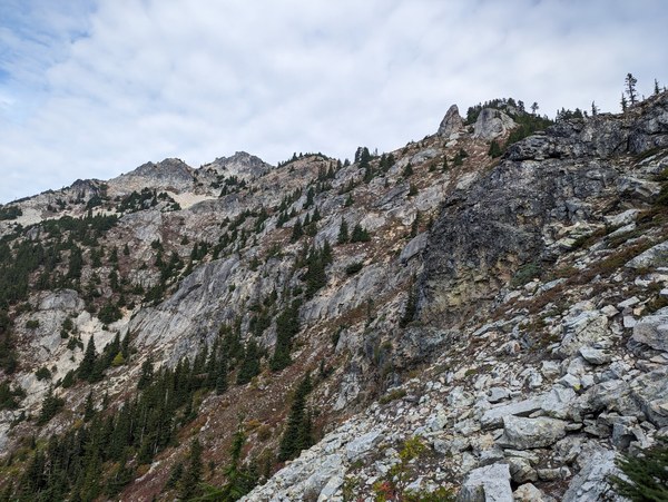
Even closer:
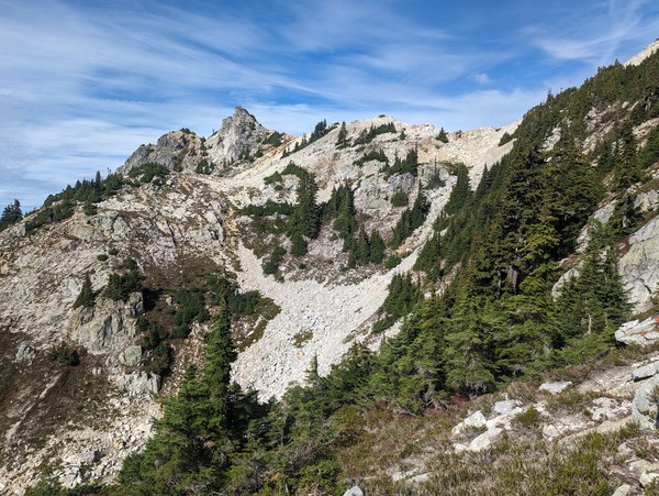
Finally topped out on the ridge between Snoqualmie and Lundin, looking at the jagged East peak:
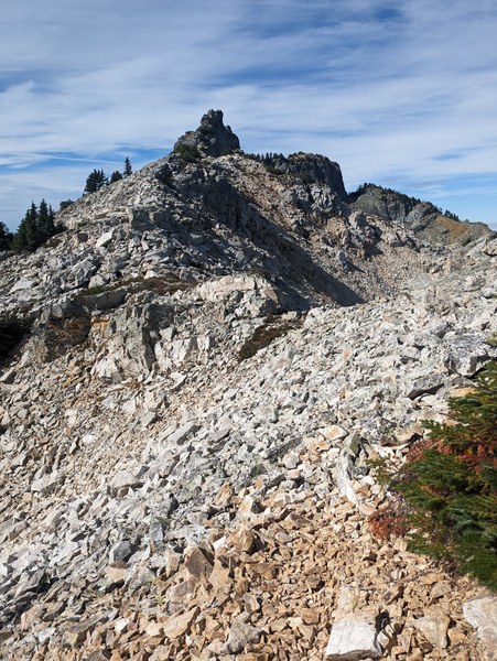
It was supposed to be cloudy all day, but we got lucky; whatever clouds came in only added to the overall aesthetic qualities of the place:
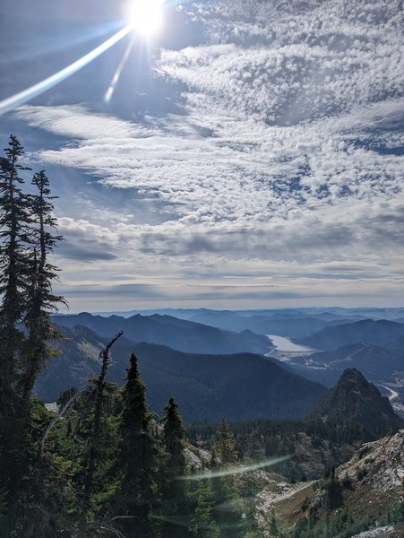
Rainier at a distance:
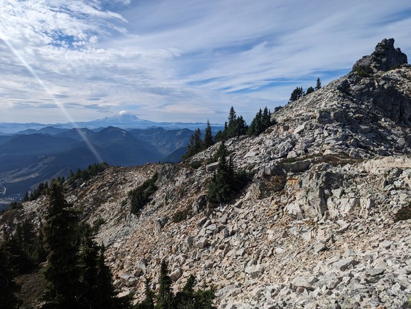
Getting down from the bump on the ridge:
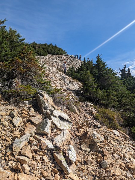
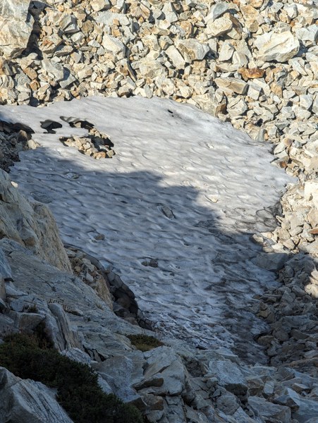
Found a leftover patch to the North of Snoqualmie. Maybe it will manage to stick around until the next season? A new glacier in the making?
Almost there:
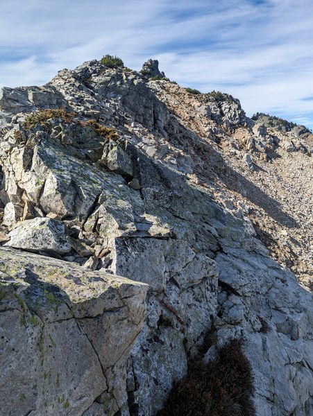
Finally, the magic ledge appeared in front of us:
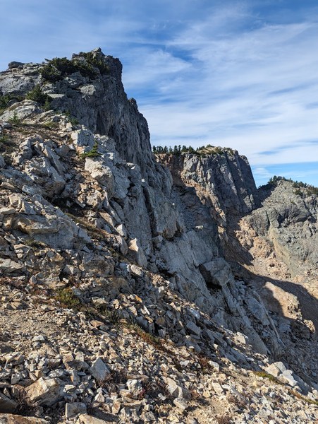
And here's a look back at where we came from:
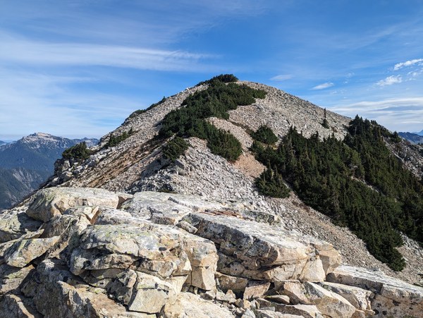
To actually get on the ledge, we had to drop down a bit.
At the base of the ledge, resting for a bit to gather energy before attempting the more spicy bits and debating whether to check out the left side or the right side first (the answer is right):
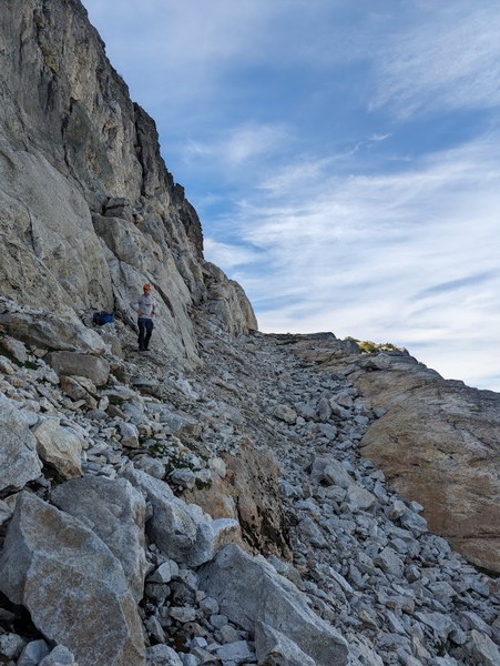
Moving up:
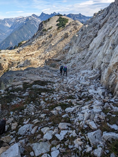
Here's another magic autobahn that pops in front of you once you get to the top on the right side:
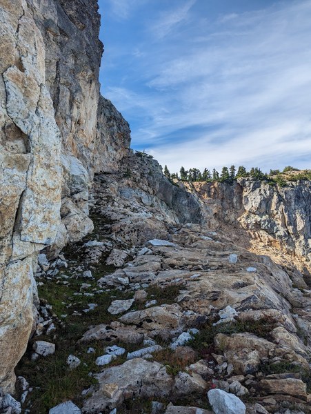
Approaching the blind corner of death - the stuff that nightmares are made of:
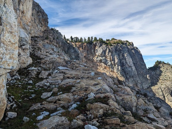
Last smiles for family and loved ones:
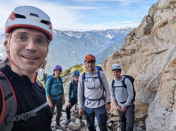
Did I mention the blind corner is a paper tiger? There's a comfortable wide path and bomber jugs on the rock on the left side to hold on to:
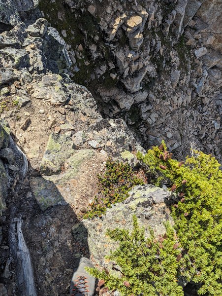
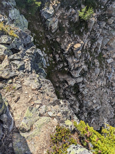
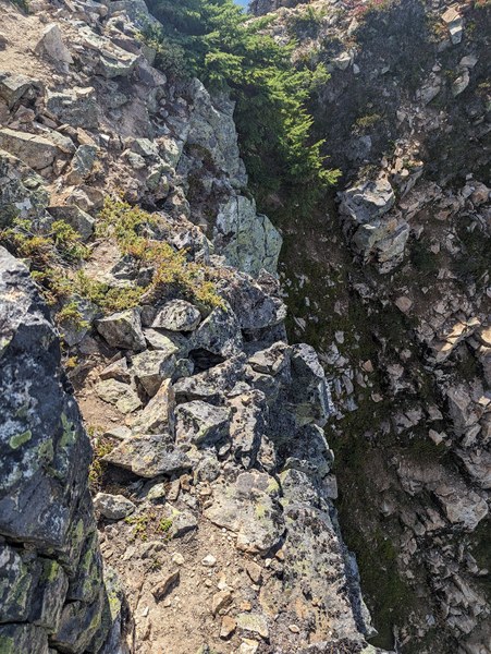
From this perspective again, it looks more sketchy, just because some of the path is not in view:
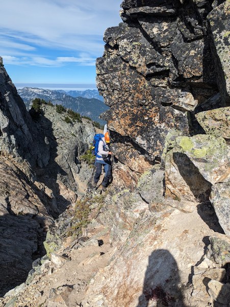
Participants zooming past the blind corner without any hesitation:
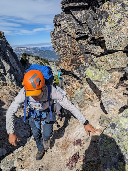
Just to be sure, while it's low-risk, it definitely is high-consequence - you'd be going straight down:
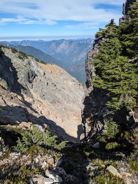
After the blind corner, there's a 90-degree turn to get on the path up the final talus field:
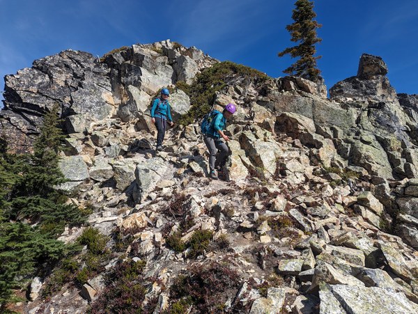
Something like this:
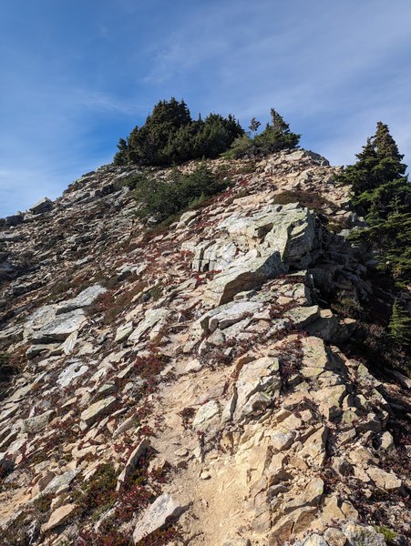
Participants topping it out:
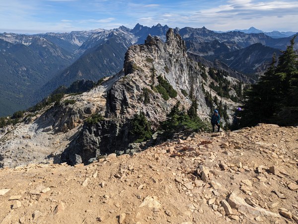
The rest is just an easy walkup:

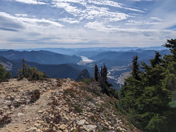
Views from the top:
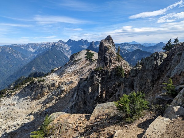
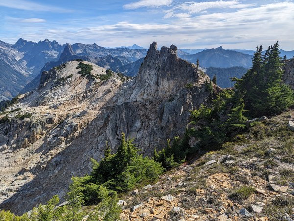
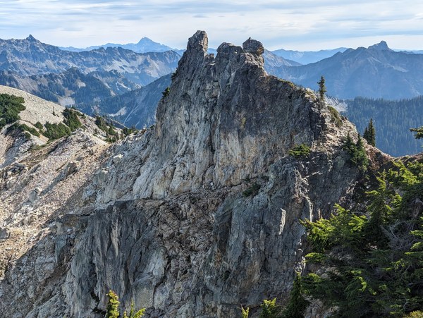
A couple shots of the magic ledge from various angles:
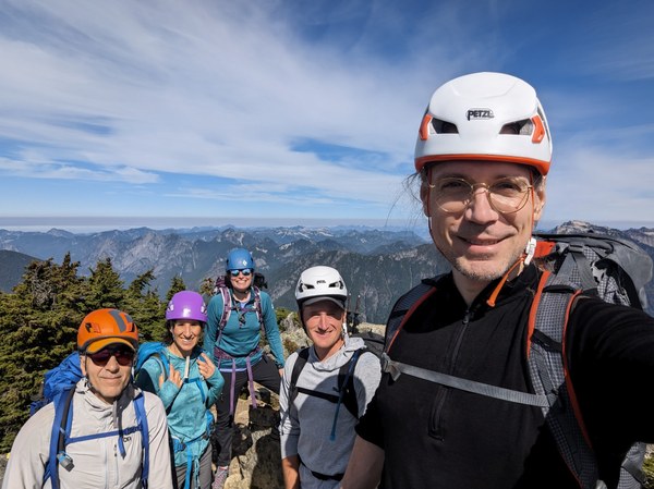
Obligatory summit selfie:
Assorted summit views:
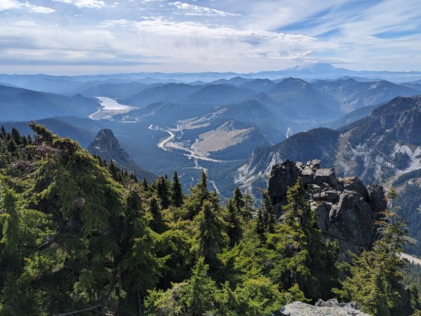
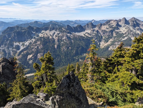
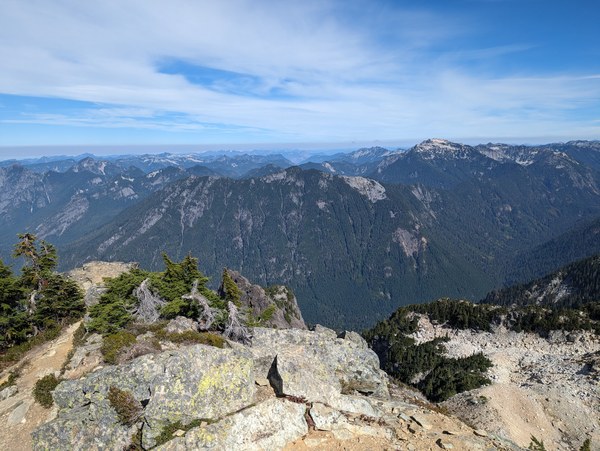
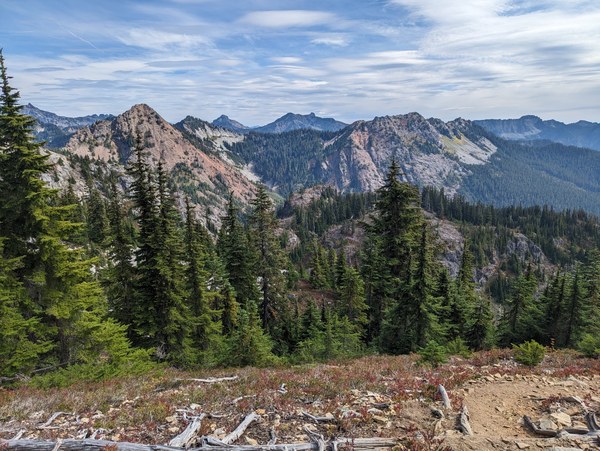
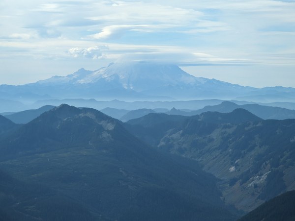
The dark weather clouds that will be rolling in later tonight:
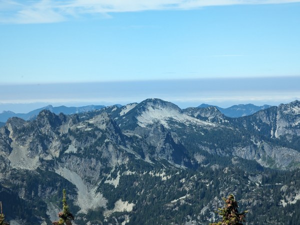
Going down was rather uneventful.
Some shots on the way down, looking back at the route we scrambled:
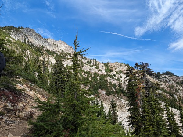
Overall, this was a very enjoyable trip with a decent amount of off-trail scrambling, a litttle bit of bushwhacking, and some exposure.
For one of the participants, this was a scrambling graduation trip. Congrats!
 Krzysztof Ostrowski