Trip Report
Backcountry Trail Run - Three Fingered Jack/South Ridge
Challenging and scenic with plenty of solitude- but be ready for heat, sun, lots of blowdowns, overgrown brush, and dust!
- Sat, Sep 16, 2023
- Backcountry Trail Run - Three Fingered Jack/South Ridge
- Three Fingered Jack/South Ridge
- Trail Running
- Successful
-

- Road suitable for all vehicles
-
A fair number of cars in the Santiam Pass PCT parking lot on the sunny Saturday of our trip- but we did not see many people on the trail. Mostly we saw people camped at the lakes and a few equestrians. The parking lot is large and has a sort of gross outhouse. About 20 miles from Sisters, Oregon. Northwest Forest Pass or equivalent required. For day trips from this trailhead (PCT Santiam Pass) you must also self-issue a Central Cascades Wilderness permit. Overnight trips here also require a permit but you must obtain it online in advance June-October. See: https://www.recreation.gov/permits/4675311
Note that other Oregon Central Cascades trailheads require a permit obtained in advance for day use June-October, not just for overnight use— and you cannot self-issue those at the trailhead. See: https://www.recreation.gov/ticket/facility/300009
The PCT is very well maintained and pleasant for the first 8-9 miles. Initially you pass through a burn zone with sandy ashy soil and no trees for shade - we were glad to get through this part in the morning coolness before the sun was high, and there were still pockets of shade.
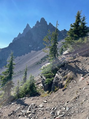
The trail then enters a more forested zone and then scree fields below the west face of Three Fingered Jack. This section was jaw dropping! Gorgeous and would make a good if long day hike. You then climb up and over a small ridgeline which you descend on sharp switchbacks on loose gravelly scree. Fantastic views of Three Fingered Jack abound. See picture above!
However, once you continue on you will enter a burn zone north of the mountain on the PCT. Here there are numerous blowdowns that are tricky to navigate and get over/around since the whole area is littered with downed trees and debris. This section chewed up a lot of time for us.
The debris and blowdowns finally petered out close to the Minto Pass junction.
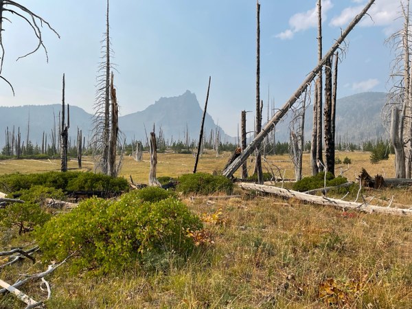
The trail was clear and well maintained from Wasco Lake to a little ways (maybe a mile) past Jack Lake. Then the trail was encroached upon by woody madrona bushes whose tough, woody branches scratched at arms and legs and were rather unyielding! The trail again entered a burn zone and the rolling terrain again was sun-baked, no real shade, lots of bleached dead trees and the sandy ashy soil, creating clouds of dust as we ran.
There are no water sources on the west side so we planned to run the approximately 10-11 miles to Wasco Lake and fill up there, then rely upon Canyon Creek, Jack Lake, and other lakes and ponds for water during the remainder of our loop. This plan worked well but some of the unnamed ponds on the map were mere muddy brackish pools that were very unappealing. The larger lakes were fine water sources.
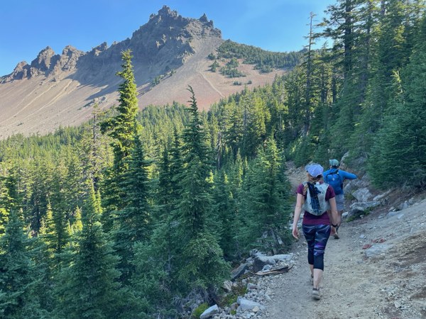
We ran a clockwise loop around Three Fingered Jack starting at the PCT at Santiam Pass, heading north to the Minto Pass trail, which connected us to the Old Summit Trail #4014, which continues around the east side of the peak, and rejoins the PCT about .2 miles from the starting point.
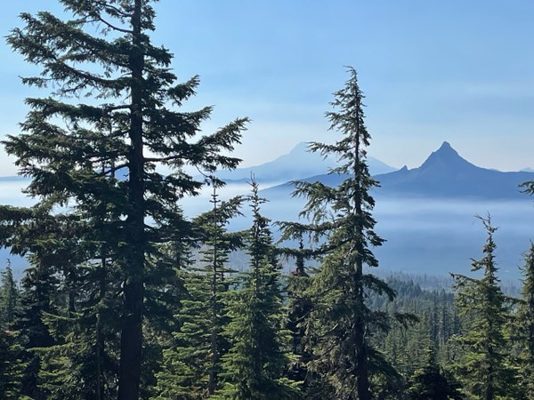 Super scenic views of Three Fingered Jack’s west side, Mt. Washington and Mt. Jefferson! Challenging but fun. We stopped for some leisurely breaks at 2 lakes and saw a large herd of mountain goats.
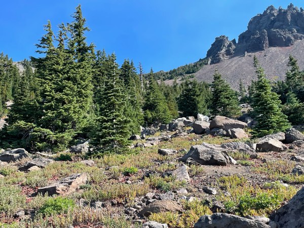
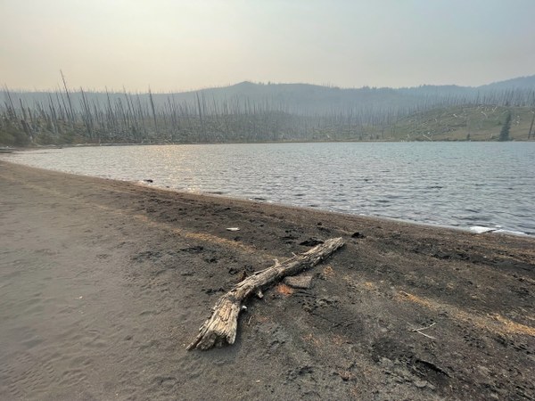
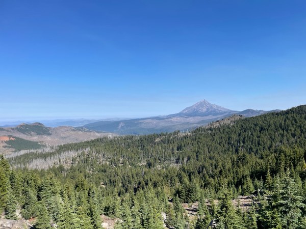 About 3,000 feet of elevation gain- a big climb up the PCT / west side then rolling hills on the east side. Loop was 22 miles. Our challenges in completing this route included the heat, sun, dust (my shoes filled up!), the blowdowns, the scratchy bushes, making sure we had plenty of water along the way. Also unfortunately the air quality deteriorated sharply as the winds brought wildfire smoke. A smoky lake view:
  An example of the east/south portion of the loop through the burn zone:
 Gabrielle Orsi