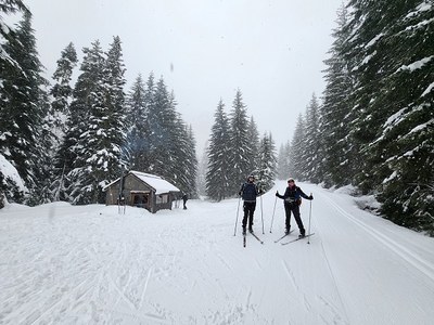
Trip Report
Cross-country Ski - Hyak Lake, Nordic Pass, Windy Pass & Mount Catherine
A reliable choice in the Snoqualmie I-90 corridor.
- Sat, Mar 15, 2025
- Cross-country Ski - Hyak Lake, Nordic Pass, Windy Pass & Mount Catherine
- Hyak Lake, Nordic Pass, Windy Pass & Mount Catherine
- Cross-country Skiing
- Successful
- Road suitable for all vehicles
-
We changed our plans from Sled Dogs trails and parked at Hyak Sno-park to avoid reported delays due to heavy snow on I-90 between Hyak and Crystal Springs exit. We were rewarded with great conditions on a trail we don't often ski. Palouse to Cascades Trail out of Hyak not groomed as far as cross-over trail. Cold Creek Trail 17 (Mount Catherine Loop, Common Corridor) was groomed as we were skiing it.
Due to some cancellations, we had a Mountaineers minimum party of three. We met at the North Bend Safeway parking lot, and discussed the impact of winter storm warning and current precipitation on our plans to ski the Sled Dog Trails from Crystal Springs Sno-park. Chains were required in Snoqualmie Pass, and slow traffic was reported due to heavy snow on I-90 east of the pass, along Keechelus Lake. The Crystal Springs trails likely had not been groomed that morning. More heavy snow was expected during the day, which could affect the drive home.
We settled on an alternative, part of the Mount Catherine Loop: the Cold Creek Trail, a/k/a Trail 17, or the Common Corridor. This is accessible from the Snoqualmie Summit East trailhead by their East Peak lift, lodge and Nordic rental center, or from the Hyak Sno-park, the Palouse to Cascades Trail, and a short, ungroomed connector trail. We carpooled and Marguerite drove (thank you!). Having already paid for Sno-park parking, we parked in the mostly empty lot at 9:30 on a winter Saturday, which seemed to reflect expectations about the weather. (The gravity slave parking lot next door, on the other hand, was pretty full.)
At 9:45, we started from Hyak Sno-Park and skied south on the Palouse to Cascades trail. At about one mile, we went through an open gate and passed a path on the right marked with yellow disks and no fresh tracks. A couple of minutes later we saw a path on the right marked with blue diamonds, with fresh ski tracks. A section of culvert in the bare drainage ditch is probably part of a snow bridge when the snow base is deep enough.
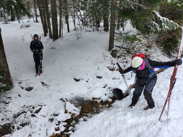
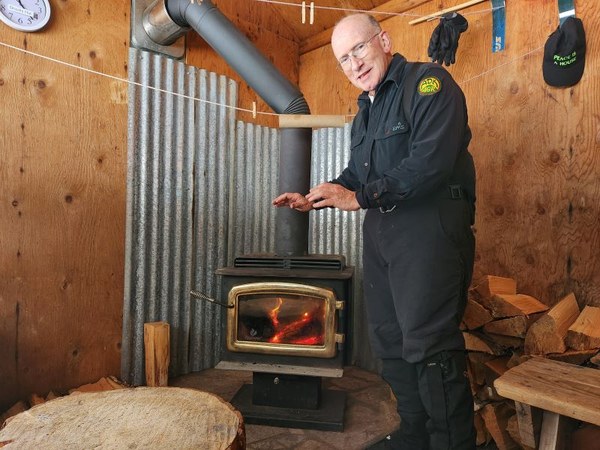
We took off our skis to start up this trail, then skied, herring-boned and side-stepped about 1/8 mile to Cold Creek Trail, a/k/a Trail 17, a/k/a Mount Catherine Loop. This section of trail was not recently groomed but was in good condition, topped with fresh snow. A groomer had come down the Hidden Valley Trail, and gone up the Cold Creek Trail, so we continued on the freshly groomed surface. We met a ski patroller who was descending. We asked about any avalanche closures (none), and she told us that she had just lit the fire in the stove in the warming hut up the trail. A few minutes later, we could smell wood smoke, and shortly the Jim Brooks warming hut came into view. It was 11:30, so we had lunch in the toasty hut, and chatted with a couple from London, skiing with their small child.
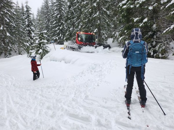
Over lunch, we decided to continue uphill past the first two switchback turns, and set 1:00 pm as our turn-around time. As we were getting back on the trail, we met the groomer coming back downhill. We stood back to wait as it passed.
We skied uphill around the two turns, and passed a sign saying "Avalanche Prone Zone Ahead." On a clear day, there are some nice views to be had from overlooks along this stretch. At the moment, we were experiencing the "heavy at times" forecast snowfall. That did not stop Addie and Marguerite from stopping to pose.
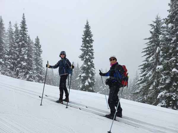
At about 1:00 p.m., we reached the "6.5 km" sign for the Mount Catherine Loop, at an elevation of 3,334'. We turned around there, and enjoyed some downhill runs on fresh, mostly untracked grooming. The groomer had gone down to the Hidden Valley intersection and continued towards the Snoqualmie Summit East trailhead. We had groomed trail until we turned off on the rough connector trail. We climbed back up to the still-ungroomed Palouse to Cascades Trail, and about a mile and one-eighth later, we were back in the parking lot. All three skiers on this trip were strong intermediate or better in skills; the trail is pretty wide; the surface was mostly groomed, and not frozen or crusty; and the grade is enough to provide some fun runs downhill, and to give a little gravity assist on the more level stretches. We made good time coming down. We had not pushed the pace in either direction, as the leader was recovering from surgery. One of the nice things about being leader is you can set the pace.
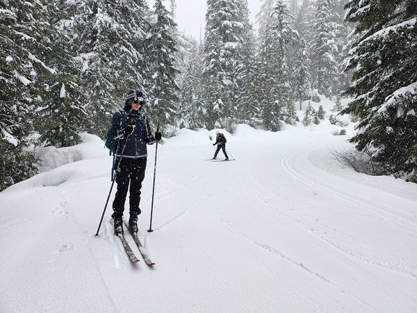
Our total r/t distance from Hyak Sno-park was 9 miles, with 1,120' of elevation gain. We left the sno-park about 9:45 a.m. and got back about 2:45 p.m., with stops for lunch, breaks and photography. The base on the Cold Creek Trail looks pretty good, especially as one gains elevation, and I think this trail will be good for some late season skiing and snowshoeing.
 Mike Forsyth