Trip Report
Day Hike - Upper South Fork Skokomish River
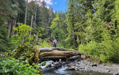
We hiked from the end of Forest Road 2361 and turned around at the ford of the Upper South Fork at 2.6 miles. The trail was clear of obstructions, and the river was picturesque after a few days of rain.
- Thu, Jun 6, 2024
- Day Hike - Upper South Fork Skokomish River
- Upper South Fork Skokomish River
- Day Hiking
- Successful
-

- Road rough but passable
-
Forest Service Road 23 is mostly paved and in good condition to the turn-off for Brown Creek Campground. Beyond that it is very badly potholed to the turn-off to Road 2361, the road to the Upper South Fork trailhead. The potholes cannot all be avoided and you can expect to meet traffic driving on the "wrong" side of the road. SUVs, pickup trucks and other high ground clearance vehicles are preferred. Allow at least an hour to drive about 20 miles from the West Skokomish Valley Road to the trailhead.
The trail was in very good condition. We hiked on the anniversary of D-Day. On the preceding Memorial Day weekend, the Gray Wolf Trail Crew (Back Country Horsemen of WA) cleared the trail of all obstructions from the trailhead to past the Olympic National Park boundary at 5.3 miles.
June is an uncertain month in coastal Washington, and an apocalyptic atmospheric river was predicted to engulf our scheduled date for this trip. The first 2.6 miles of this trail, from the end of Forest Road 2361, would not be much impacted by the rain, but a flood watch was up for the West Skokomish Valley Road, and record-setting rainfall was expected. We pushed our date back from a Monday to Thursday, and had a sunny day and dry pavement.
Seven of us met at Haggen's and quickly arranged car-pooling in two vehicles with enough ground clearance to manage the expected potholes. After turning off US 101, we stopped at the George Adams Fish Hatchery and had a look around. The three leaders were scouting this route for an upcoming youth and family backpack. Time permitting, the hatchery might be an educational stop for youth, and perhaps of more interest, has indoor bathrooms available during their working hours. A couple of miles in, just before entering the Olympic National Forest lands, we pulled over to let a logging truck pass us. This is working forest land.
At the trailhead, we met a WTA trail crew, preparing for a day's work on the upper-most part of the Lower South Fork Skokomish trail, south and east of the end of Forest Road 2361. After thanking them for their service, we started up the trail, at first a decommissioned remnant of the Forest Service road, and then a former stock trail, designed for horses and pack mules. The first part of the trail is well above the river. Soon, views of the rushing waters could be had. The watershed was still draining from a few days of rain, and the river was in good flow.
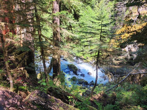
As the trail descended towards river level, we crossed a feeder where a log bridge had been built for hikers and dismounted riders next to where riding horses and pack animals, usually referred to as "stock", had crossed the stream.
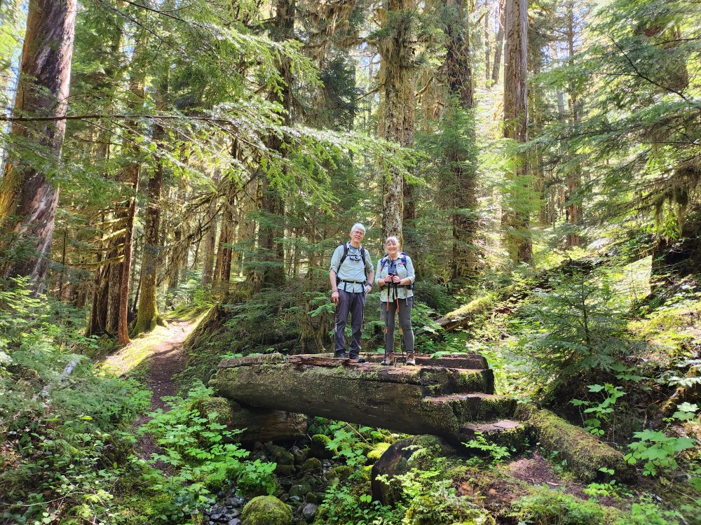
Nearby, a sign consisting simply of a horseshoe shape carved into a square of wood indicates the way to the stock ford, while those on foot continue on the trail.
There are two note-worthy water crossings on this portion of the trail, both on huge fallen cedar "foot logs". The first one, over Rule Creek, is a good warm-up for the second. A flat tread has been cut into the top of the log with adze or axe. For most of its length, there is a handrail, which provides a sense of security, if not actual security.
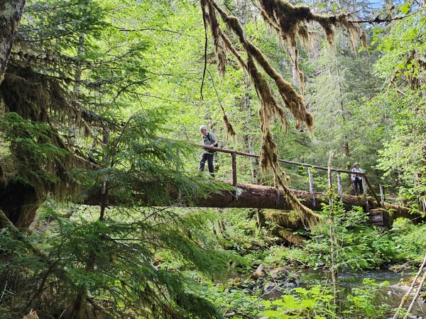
After a short walk through the woods, a quartet of stately standing cedars provides a portal to the foot log over the South Fork. Access to the top of the log is gained by climbing over a pile of limbs and branches accumulated by previous high waters, and up a step cut into a root of the now-horizontal cedar tree. For part of the way across, footing is provided by irregularities in the trunk, and part of it is improved with a blade, like the Rule Creek bridge.
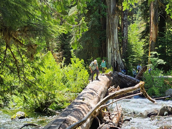
We all crossed without mishap, but perhaps with some trepidation, in bare boots. Some found trekking poles to be of assistance. The log was dry this day. It had occurred to the leader crossing the log two weekends earlier in the rain with a full backpack that Microspikes might be a welcome aid in some conditions. After all were across, we rewarded ourselves with a well-earned lunch and a view of the rushing waters.
On the next stretch, the trail climbed away from the stream, with several nice views before parting company for a while. On the hillside above the trail is a huge boulder, perhaps deposited by an ancient ice-sheet. We began to see evidence of the recent work of the Gray Wolf Trail Crew. One log remaining across the trail is a step-over, with a notch cut for a step, just a bit of a stretch for someone with a thirty-inch inseam. The hillside alternated between a few open areas and deep woods, with old cedars dominating. We had three small rock-hop feeder crossings.
The trail descends and then flattens as it approaches the river. There are long-used campsites here on both sides of the river. The steps up to a long-gone bridge can be seen in the trees to the left, facing the stream. The stock ford is marked, but looks a bit deep for humans. When the leader forded with a party of eight several days earlier, we crossed a bit upstream, to the right. On this day, we did not ford the stream. We checked out possible tent sites for the planned youth and family backpack.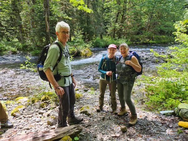
The hike in had proceeded at pretty much a naturalist pace, with many stops to identify and admire wildflowers, ferns, moss and lichen. We stepped it up a bit on the way out. The ford is about 500 feet higher in elevation than the trailhead. However, as the trail parts company with the river, and climbs along hill- and ridge-sides above in, there is a mix of elevation gain and loss in either direction. We arrived back at the parking lot at the end of Forest Road 2361, having traveled 5.2 "guidebook" miles. Our various GPS devices had all tracked somewhat longer distances. We had enough for a good day's hike.
Here is a bonus for those considering this hike after rainy weather. We postponed due to concern about the W. Skokomish Valley Road flooding and cutting off our exit. Here is a link to live video of a flood-prone stretch of this road: https://www.youtube.com/watch?v=jp6BdIbrxig
The yellow board with black numbers at the base of the telephone pole on the right is a flood gauge. This will give you real-time information for making a go-no go decision on your trip.
 Mike Forsyth