Trip Report
Winter Scramble - Baldy (Olympics) via Slide Camp
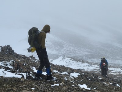
A solitary (and exploratory) mountain day with lush rain forests, a wild river, gorgeous vistas, soaring alpine slopes, and a high-end workout (7000’ gain over 18 miles). This trip verified the Baldy Trail from Slide Camp as a reasonable route (in spite of its abandonment) which allows a greatly expanded menu of multi-day traverses from the Royal Basin trailhead without the use of a car shuttle. (Lead photo by Leaf Peterson).
- Sat, Feb 3, 2024
- Winter Scramble - Baldy (Olympics)
- Baldy & Tyler Peak
- Scrambling
- Successful
-

- Road suitable for all vehicles
-
Consistent with bare ground at Hurricane Ridge (many thanks to the restored Hurricane Ridge webcam) snow pack in the Olympics is at 61% of historical norms and allowed us to leave our snowshoes at home. We greatly appreciated our micro-spikes for intermittent hard snow patches as well as frozen ground on the upper slopes. We started encountering snow at ~5000’.
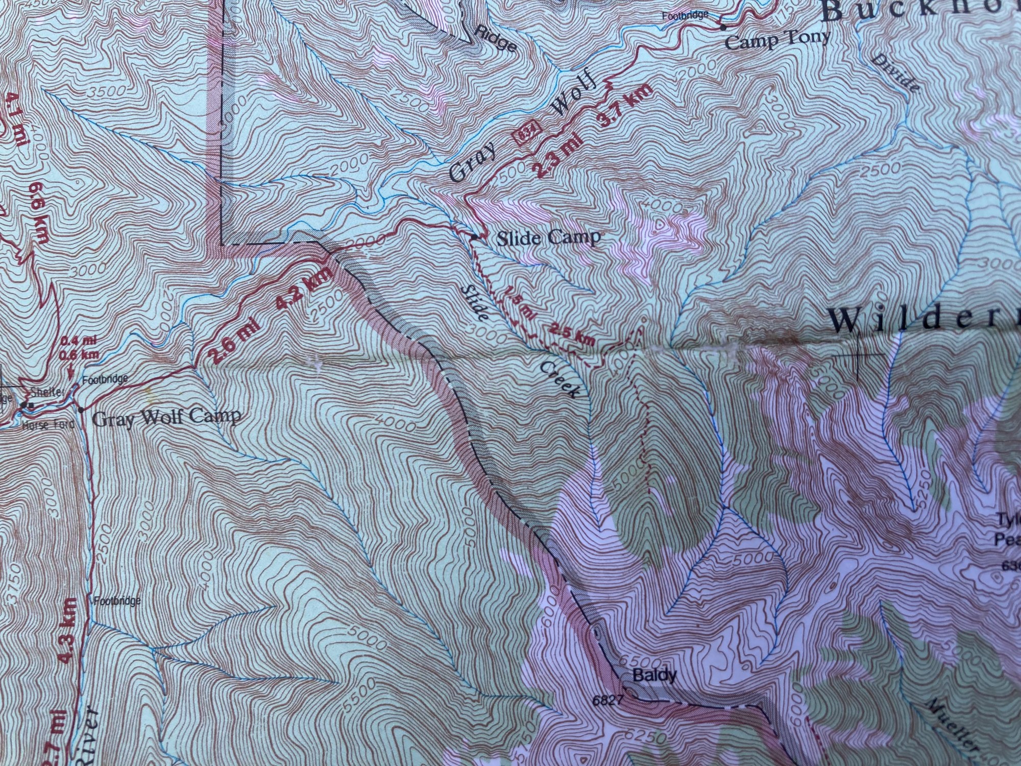
Due to various road closures (Dosewallips, Elwha, etc.) access is becoming increasingly difficult in the Olympics. Car shuttles can help us achieve substantial trips, yet setting them up consume substantial parts of the day that might be better spent on the trip itself. One goal of this trip (besides having a good time ;) was to validate the feasibility of using the abandoned Baldy trail for longer trips. For example, a multi-day trip that starts from the Royal Basin Trailhead, heads up the Dungeness River over Constance Pass to various destinations, then returns by way of Cameron Basin and the Slide Camp-Baldy Trail back to the cars (car shuttles need not apply ;).
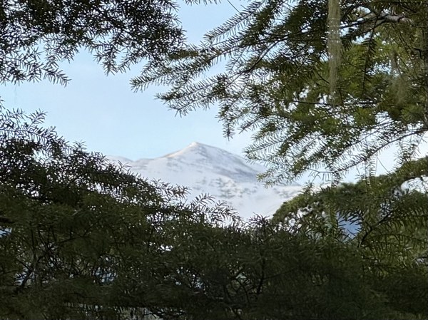
Just a glimpse of Baldy shortly after leaving the cars on the Slab Camp Trail (~5 miles as the crow flies, ~9 miles one way for us ;).
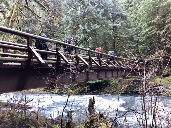
We greatly appreciated this wonderful bridge. The consensus was that the Gray Wolf River is currently unfordable.
(by Nina Crampton)
The trail between the Gray Wolf crossing and Slide Camp is quite impressive from an engineering perspective, especially when you consider the blasting required to establish the trail above the numerous cliffs in this area.
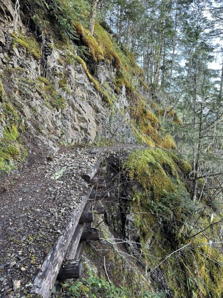
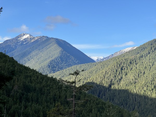
On the way to Slide Camp, a great view of the ridge bounded by Cameron Creek (on the left) with Grand Creek and its headwaters on the right. The Three Forks Trail ascends to Deer Park on the right hand skyline.
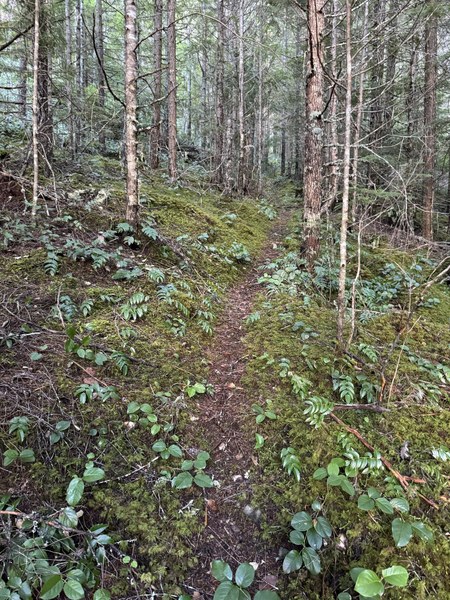
The abandoned Baldy Trail begins at Slide Camp, is very obvious, and quickly crosses the ridge to do its serious elevation gain with Slide Creek to the WSW. Although there are sections somewhat obscured by salal and moss, most of this trail is easily followed to gain the N ridge of Baldy at ~4000’.
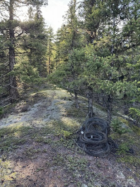
This trail parallels a heavy gauge wire (uninsulated) for most of its length. Substantial coils (uninstalled or never installed?) can be seen on the ridge crest at ~4000’.
At ~4500’ the trail becomes harder to follow with more substantial sections of mountain azalea (can you say brush?). On descent we simply went with the line affording the best progress while staying close to the ridge crest. At ~5700’ you finally break out into the open (yay!).
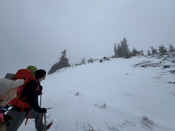
Improving views…
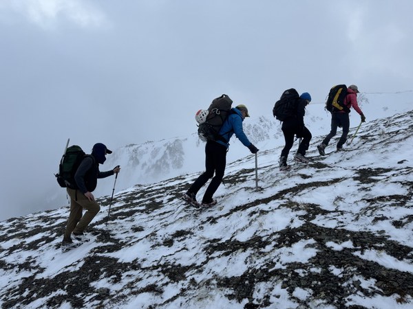
(by Jesse Bengtsson)
Looking up at the false summit, the true summit of Baldy (6827’) is still obscured by mist to the left.
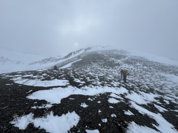
The false summit. It looks much farther than it is to the true summit…
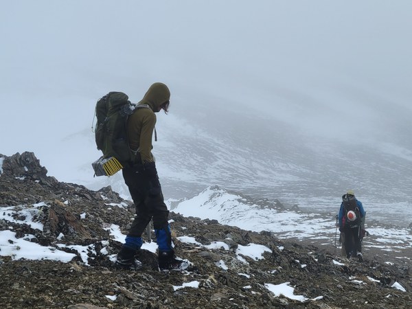
(by Leaf Petersen)
… and 14 minutes later we’re there!
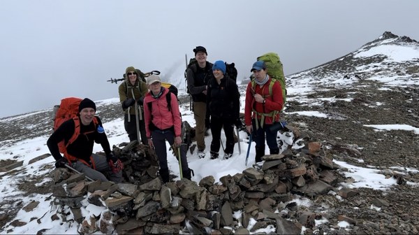
After a short lunch we start heading down at 3pm with 2.5 hours of daylight remaining (the last bit of dusk light is gone at ~5:30pm, especially under the trees). We should be very close to maintained trail before we need to use our headlamps.
A beautiful photo by Nina Crampton on the way down.
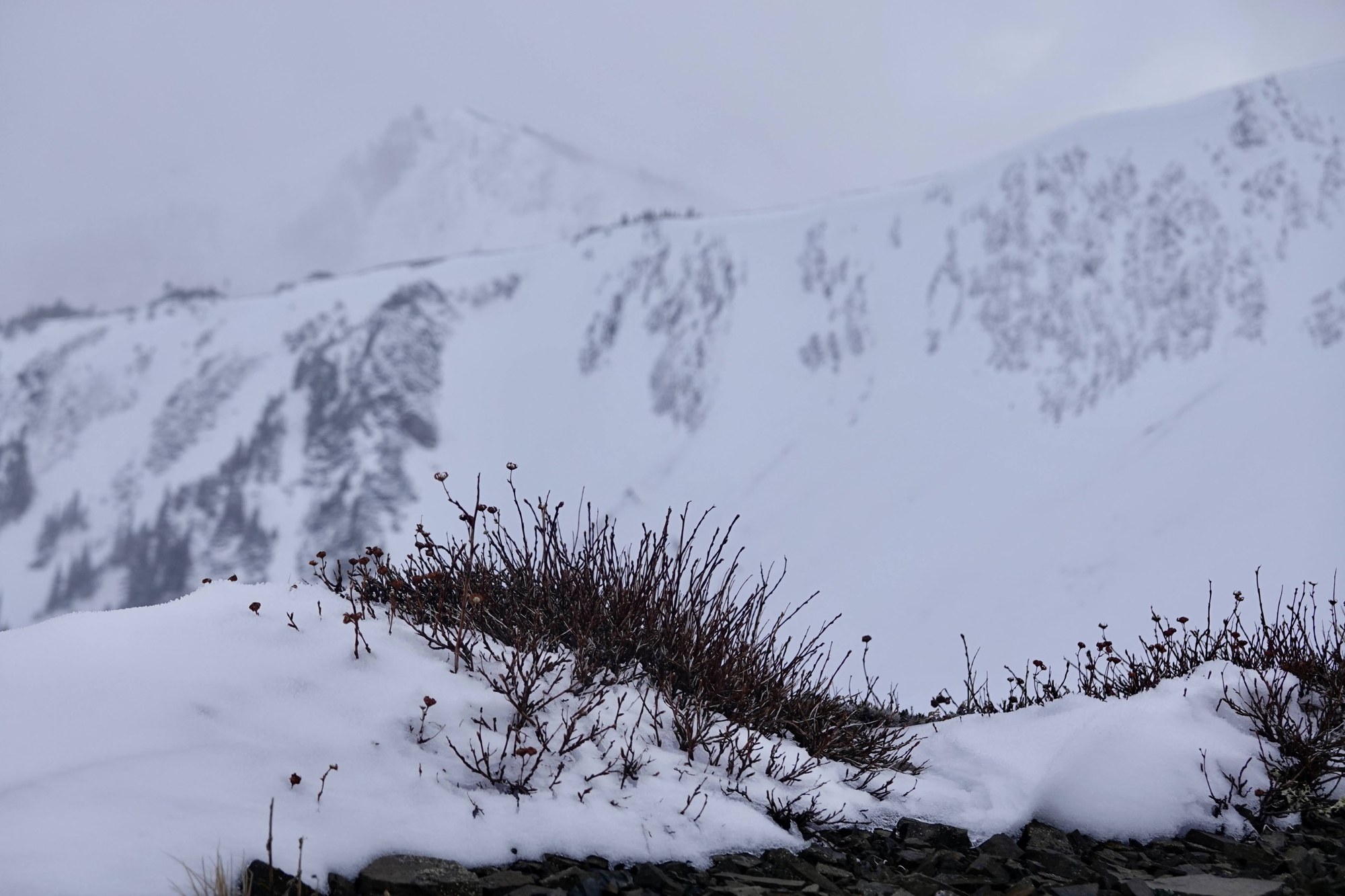
(by Nina Crampton)
Glad to have those micro-spikes on hard snow!
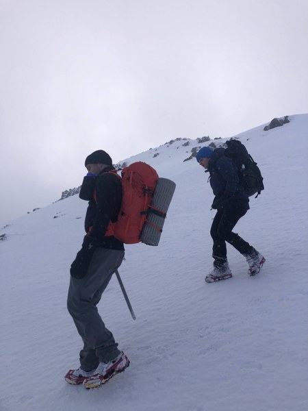
(by Nina Crampton)
A last look at Baldy…
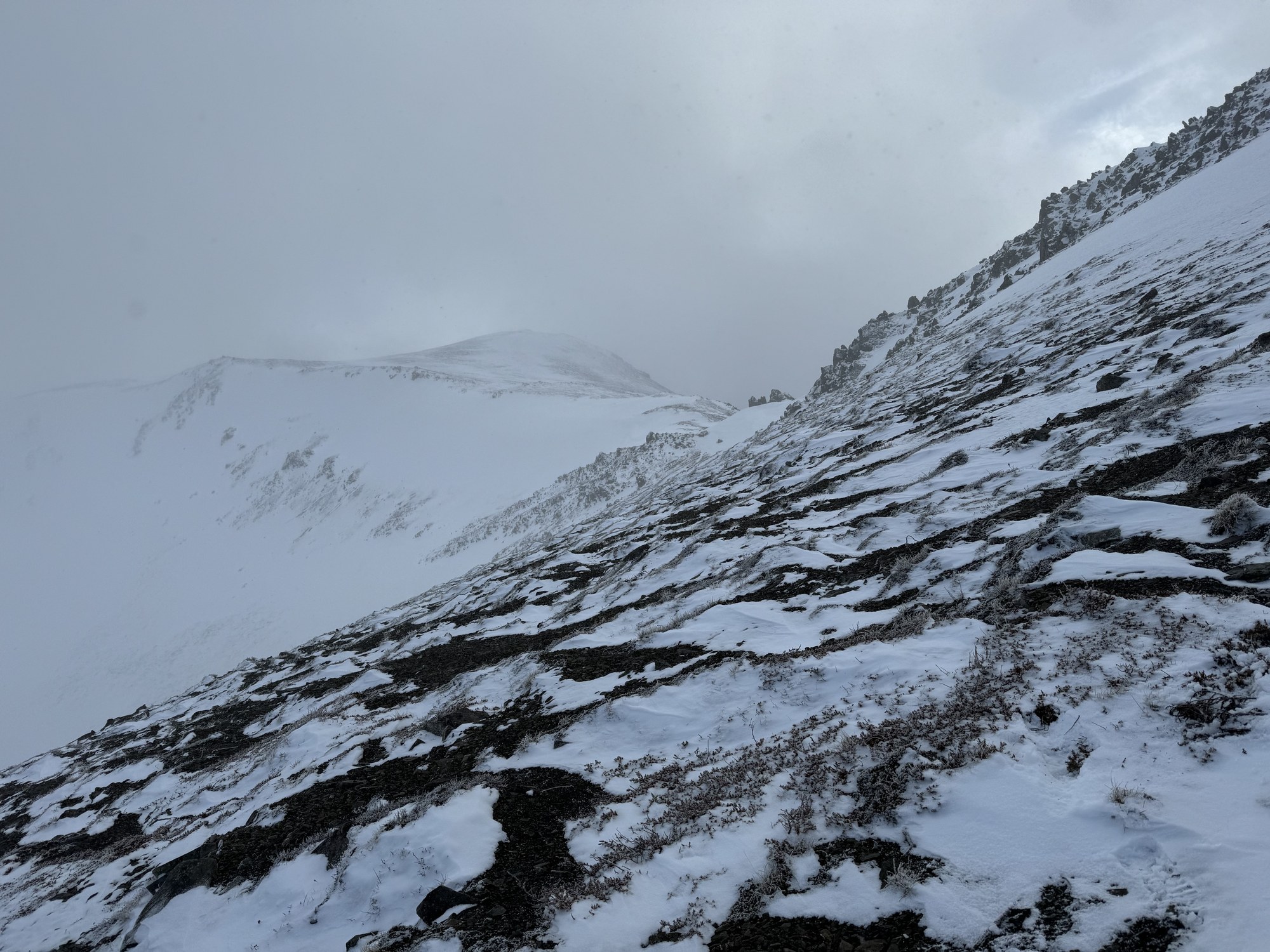
… and after a quick break at Slide Camp we start the 5 mile headlamp hoof back to the cars at 6pm. We are NOT looking forward to that final 1100’ of elevation gain from the Gray Wolf Bridge back to the Slab Camp trailhead.
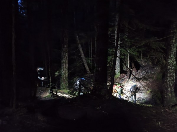
A great day in the mountains, especially with such sparkling conversationalists to help with several hours of headlamp hiking! With a total time just over 12 hours (8am to 8:20pm) we consumed 6.5 hours on the ascent, 5.3 hours for the return and a very brief lunch on the summit. A desire to make our respective ferries helped us clear the parking lot in record time. What with trail undulations our total elevation gain came to 7000’ over 18 miles (9 miles one way, 5 miles to Slide Camp, 4 miles from Slide Camp to the summit of Baldy). Photos from this trip can be seen here.
 Dave Morgan