Trip Report
Glacier Peak/Disappointment Peak Cleaver
3-day climb of Glacier Peak on a perfect weather window for a bluebird summit day! Gaia's recorded track gave us 34.8 miles and 10,427 ft of gain over the 3 days.
- Sat, Jul 7, 2018 — Mon, Jul 9, 2018
- Glacier Peak/Disappointment Peak Cleaver
- Climbing
- Successful
-

- Road suitable for all vehicles
-
FR 49 has two washouts passable with care even by sedans. No snow on trail until White Pass. Intermittent snow on Foam Creek trail. A well-defined boot track on the Suiattle and Gerdine-Cool glaciers all the way to the summit. Two small open crevasses on the bend between Gerdine-Cool glacier.
We shifted the dates of this climb by one day to find a more favorable weather window. The original Friday to Sunday dates would have given thunderstorms in the evening of the first day, rain/low clouds on summit day and sunny only on the return day. By starting on Saturday and returning on Monday we hit a perfect weather window.
Day 1:
Under misty conditions, we departed at the trail head a little past 8 am and made quick progress on the initial 6 mile section along the N Fork Sauk River reaching the shelter at 10:40 AM. After a 30-min break for snacking and filtering water we were off to the steeper section of the trail heading up to the PCT and White Pass. No snow on the trail until White Pass. Several water sources along the way but no one needed water since we had just filtered some. We reached White Pass at 1:40 PM where we took a nice 30-min lunch break and changed out of approach shoes/trail runners into mountaineering boots. There was a little sunshine but the clouds were low and obscuring most of the nearby peaks. We hoped to have better views on the return trip. There is intermittent snow on the Foam Creek Trail until its end at the col at 6300 ft. 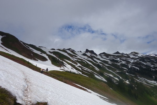
A few of the gullies are beginning to melt out creating a few tricky spots to get on and off snow but nothing to be really concerned about. Several sources of running water here too. From there we descended a short way into the first basin and traversed left on intermittent snow/trail. For this section we donned crampons, ice axes and helmets as the run out was not good. A final climb on snow brought us up to snow-free col at 6600 ft overlooking the basin below the White Chuck glacier where we two of us had camped before on another climb in 2015. But 2015 was the very low snow year and there were extensive areas with no snow then and running water while this time only a few rocks were exposed and there was no running water. So we decided to not loose elevation un-necessarily and instead traversed high on the right above the basin to look for campsites at the next col where we knew there would be also views of Glacier Peak. The entire route is marked by a well-defined boot track. The clouds had began to part and we had partly sunny skies but we still could not see the mountain. Along this traverse we found some running water and we decided to fill up in case we would not find more near camp. We took another 20 min break getting water and finally reached a flat snow-covered area at 6600 feet and decided to make camp there. It had taken us almost 10 hours (including all breaks) to get here, 13 miles from the trail head. There were a few campsites on “rock islands” (maybe enough space for 3 tents in one and 1-2 on another) but they were all taken so we camped on snow and used a patch of rocks as our kitchen/hang out space. A small pond directly below the rock provided us with snow slush which melted quickly in zip-lock plastic bags we had brought or on a pot on the stove.
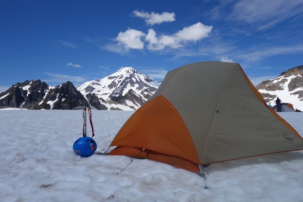
Other running water sources were found on the traverse below the col maybe 10 min before camp or further up on a lake forming at the base of the White Chuk glacier. We did not need to go get any water there though as the pond provided what we needed. After dinner still enveloped in the fog, we retreated to our tents.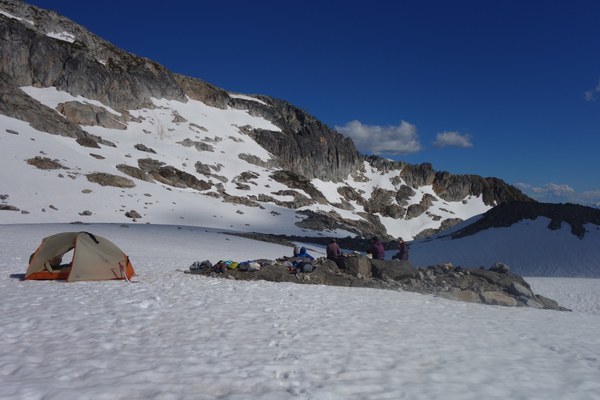
Day 2:
We woke up to completely clear skies at 3 am and started hiking out of camp at first light at 4:20 am. 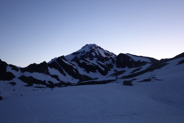
About 1/4 mile from camp, one participant realized he had forgotten his sunglasses so we stopped and he went back to get them, factually making our start more like a 4:40 start. We descended slightly from camp onto the White Chuk glacier basin but mostly traversed it on the right around the 6800 feet contour and then followed the boot track up a steep snow slope to reach a big plateau at 7200 feet. We traversed on the right above it and followed the boot track to a climber’s trail on scree that takes you to Glacier Gap at 7300 feet. If one had the time and energy, Glacier Gap would have be a great place to camp. Completely snow-free with a running stream coming down and depending on where one sets camp even views of Glacier Peak. But it would be another 2 miles and 700 ft of gain to get here with overnight gear. From Glacier Gap we climbed to another col at 7500 feet and then descended from it all the way to rocky Gerdine ridge where we took off crampons and followed a climber’s trail on it until 8500 ft when the trail ends at a gendarme and we stepped on the Gerdine glacier, put on crampons and roped up.
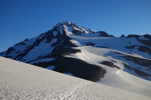
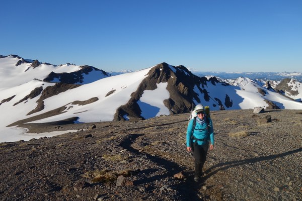
There were no visible crevasses for a long stretch above that and under the current conditions to could have waited and roped up a bit later. 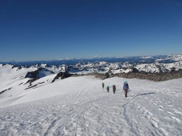
Despite the early hour of the day, the rock face below Disappointment Peak was already breaking off so we moved as quickly as possible below that section and our track was safely below the rocks we saw falling out. This is an area where any delay should be avoided and a wide berth path is necessary. We continued up the Gerdine glacier to a sharp left bend where it merges with the Cool glacier. There are two small crevasses opening at that bend where the two glaciers meet but they can be easily avoided.
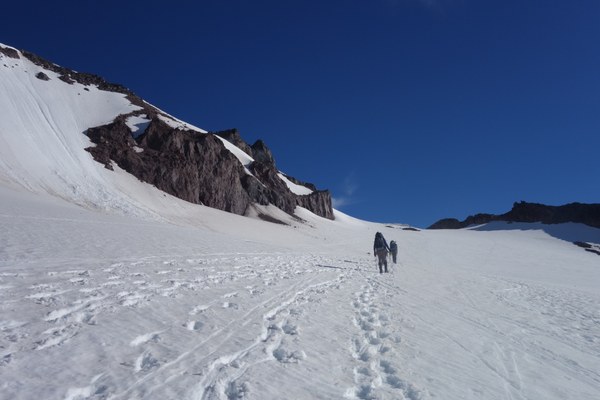
Continuing up the Cool glacier, we reached the saddle between Disappointment Peak and Glacier Peak. Here we took another short break to un-rope and take off our crampons.
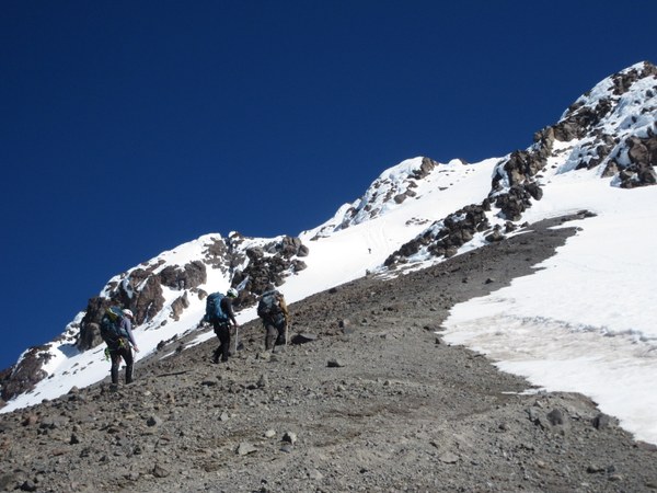
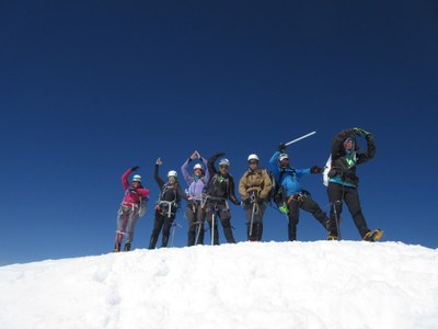
From here a climber’s trail took us up the scree ridge below the summit block. At the end of ridge at 10,000 feet, we stepped off the rocks back on snow and climbed steeply well-defined steps for the last 500 feet to the summit that we reached at 10:45 AM. It was a bluebird day with incredible views in all directions. We could see the all the way to Adams to the South, as far as the Olympics to the West, and Baker, Shuksan and all the North Cascades to the North! It was the first volcano for one of participants and a first glacier climb for another and the first Glacier Peak for all but the two co-leaders. Everyone was elated to have accomplished this summit.

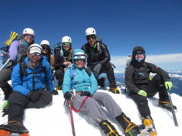
After 30 min at the summit to take many pictures, we re-traced our path back to the saddle where we had lunch in the sun. We then roped up again and stayed roped up until after the bend and then descended un-roped until the Gerdine Ridge. Students kept crampons on until then, but snow had softened a lot b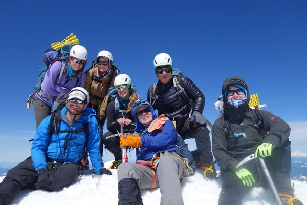 y then and there were perfect conditions for plunge-stepping. We were back at Glacier Gap at 2 PM where we filtered more water and then headed back to camp which we reached a little before 4 PM. A 10 miles and 11- hour day camp-to-camp including all the breaks. Many took naps or sunned on the rocks. We all had a lovely evening time under clear skies and a good night sleep.
Day 3
We woke up to another clear day between 5:30 and 6 am, broke camp and started hiking at 7:30 AM. We wore crampons until we reached the col at 6300 where the Foam Creek Trail starts. A lot more snow had melted on the trail, causing a little detouring around the gullies. We reached White Pass at 9:30 AM, took a nice break, changed into trail shoes and started the steep descent to the shelter. Our group began to spread out on the descent, but we re-grouped at the shelter where some filtered more water from the river. The last 6 miles on the trail seemed very long but we were all back at the cars between 3:40 and 4 and we concluded a successful trip with an early dinner of burgers and ales at the Hawk’s Nest in Darrington. Just as we drove out of Darrington, clouds had rolled in and we got some rain on the drive back to Seattle. We really did hit a perfect weather window for this climb!
 Emma Agosta