Trip Report
Day Hike - Lower South Fork Skokomish River
The South Fork of the Skokomish River drains a large area of the Olympic National Forest. A mixed use (hiker, horse, bike) trail runs along the valley, through stands of old growth fir, cedar and hemlock. This is a nice five mile section which can be hiked out and back. We recorded about 1300 feet elevation gain.
- Sat, Jul 15, 2023
- Day Hike - Lower South Fork Skokomish River
- Lower South Fork Skokomish River
- Day Hiking
- Successful
-

- Road suitable for all vehicles
-
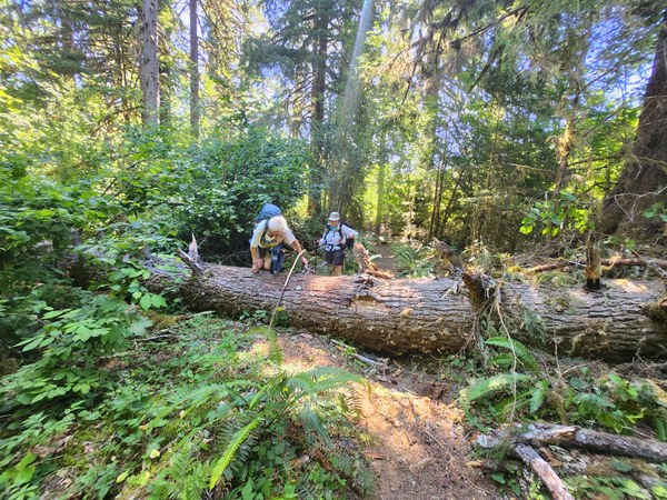
The trail was in good condition and unobstructed, except for only one obstruction, a 32” diameter log fallen across the trail.
The Lower South Fork of the Skokomish River Trail has a paradoxical feature: the highest point on the five mile hike upriver is at the downriver end. We gained 325 feet of elevation in the first half mile or so out of the parking lot, and quickly lost most of it, crossing a ridge between the South Fork of the Skok and its tributary, Lebar Creek. We were happy to get that climb done in the cool of the morning.
The four of us met at Haggen’s in West Olympia at 8:00 a.m. Near our meeting spot, two trucks with a Shasta Lake Hotshots crew were parked. They had come to Washington from California to assist in fighting wildfires in Mason County, and were making at stop at the supermarket. We carpooled to the Lower South Fork Skok trailhead. Just before the bridge over the Skok, we stopped to remove a broken up fallen tree from the road, then continued to Brown Campground to use the facilities there, and to pump up some water. We were on the trail by 9:40 a.m.
Most of the South Fork of the Skok trail was designed and is maintained to stock specifications, i.e. livestock such as horses and mules. This generally means a wide treadway, generally good footing, and the climbs and descents moderated by switchbacks, usually with not more than 10% grade. This leader is familiar with the Skok trails, having done trail maintenance work there with Mountaineers, WTA and Back Country Horsemen of Washington work parties. Early on, we passed a point where the trail had been re-routed, and wooden cribbing had been installed to stabilize the new switchback.
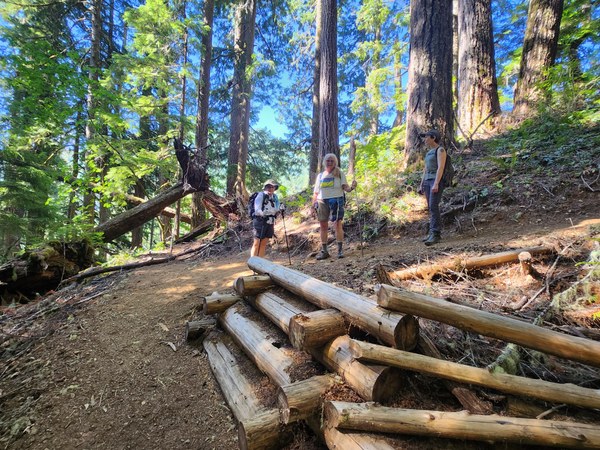
New switchback with cribbing; blocked old trail visible in upper left.
This trail goes through forest with some old growth Douglas fir and cedar which has never been logged. Some trees were easily six feet in diameter at breast height. Other species were represented as well, including some tall hemlock. Broadleaf maple was abundant, including a towering tree with three trunks overhanging the trail.
The day was cloudless and clear, with no hint of the smoke from the recent wildfires. As the sun rose, so did the temperature. We walked mostly in deep shade, but the sun’s warmth was strong in the open spots, and puffs of wind pushed heated air past us. We dipped bandanas in the rivulets we crossed, cooling our brows with the cold water. At the larger feeder crossings, sturdy bridges have been built, sufficient for equine pack animals as well as humans.
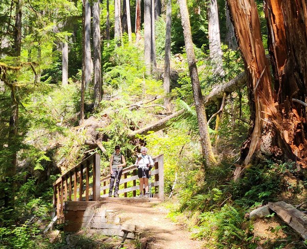
Stock bridge.
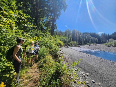
We enjoyed several peek-a-boo views of the Skok through the trees. A short side trail brought us to the riverbank, and a nice view of the river curving away downstream. Mostly, the trail keeps some distance from the river, and the banks are steep, not affording easy access to the water.
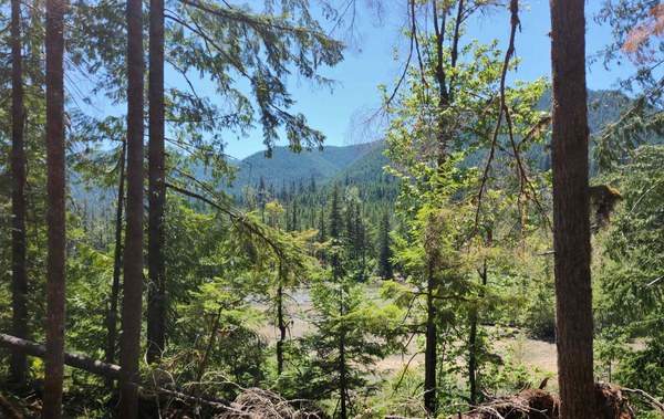
Wide section of river bottom, thru trees.
Approaching the five-mile mark, we encountered a WTA trail work party. The trail was well-maintained up to that point, with only one obstruction, a 32” diameter log fallen across the trail. That will be a job for a future work party. We thanked the WTA crew for their service, had some lunch and headed back.
The temperature by now was in the upper 80’s. Besides the small ups and downs, we had ahead of us the ridge just before the trailhead, with a climb of 270’, before we dropped down 325’ into the parking lot. That raised a bit of a sweat. Fortunately, there is easy access to Lebar Creek across from the trailhead, and we cooled off by soaking our feet for a few minutes. We took a sightseeing drive through the mostly-empty LeBar horse camp before driving back to Haggen’s.
Here is a technical observation, which may invite some comments, perhaps from people knowledgeable on the subject. Back at the trailhead at 4:35 p.m., the leader and assistant leader compared GPS track logs. Our recorded hiking distance was just under 11 miles, although we probably walked just under ten map miles. That difference is not unusual with GPS for several reasons, some of which do not apply to elevation gain. However, for round-trip elevation gain, the leader had recorded 1,305’ and the assistant leader 1,304’. My impression is that the figures were probably quite close to the true value. The Mountaineers’ catalog of hike descriptions lists the Lower South Fork trail as having 575’ of elevation gain. A Mountaineers book, "Day Hiking Olympic Peninsula", Second Edition, by Craig Romano, gives the elevation gain as 950 feet. Assuming these are for the round trip, the differences are very large. Romano uses the same trailhead as we did with the 325’ climb in his description. The Mountaineers’ figure of 575’ might be from using the LeBar trailhead. The LeBar trail spur starts at a higher elevation and runs along the top of the ridge, avoiding the 325’ climb, but still climbs 280’ on the return on that ridge alone. From the Lower Skok trailhead, crossing the ridge outbound is 325’, and on the return 280’, so over 600’ is gained just on that ridge, with considerable up and down on the rest of the hike.
 Mike Forsyth