Trip Report
Alpine Scramble - Navaho Peak
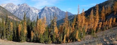
Lungs labored as we lingered, looking longingly at lovely larches. 13 miles, 4200' EG in 8 hours.
- Sun, Oct 13, 2024
- Alpine Scramble - Navaho Peak
- Navaho Pass & Peak
- Scrambling
- Successful
-

- Road suitable for all vehicles
-
- Trailhead has parking for about 20 cars, and one outhouse (no TP).
- Trail is dusty but straightforward up to Navaho Pass.
- Obvious bootpack from the pass to Navaho Peak. Be cautious of many steep sections with slippery "kitty litter" rocks and dirt leading to the summit, especially tricky on descent.
- Water available in a couple places below the pass, where the trail crosses or runs parallel to running streams. No water above the pass.
- We passed a half dozen hunters below the pass, so stay on route and wear high-vis clothing.
Our group of seven met at the Stafford Creek TH at 8am on a smokey, hazy Sunday. There were a handful of other cars but still plenty of space for parking. One outhouse with no TP. After intros, choosing a first aid leader (thank you Ellen), and self-registering for a wilderness permit, we were off!
It was a cool morning, just above freezing at the TH. Apart from wildfire smoke in the air, the weather was perfect. We followed the Stafford Creek Trail several miles, gradually gaining elevation, and got our first glimpses of larches.
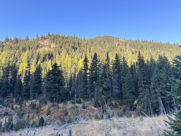
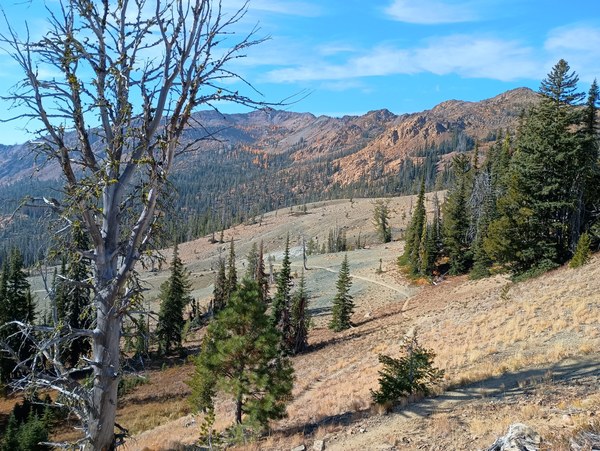
There are some nice flat areas for camping starting around 5600', and above 5800' the landscape becomes much more barren:
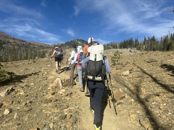
Yet still treated us to nice views all around:
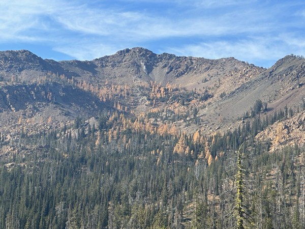
Continuing our ascent toward Navaho Pass, we didn't forget to look behind us:
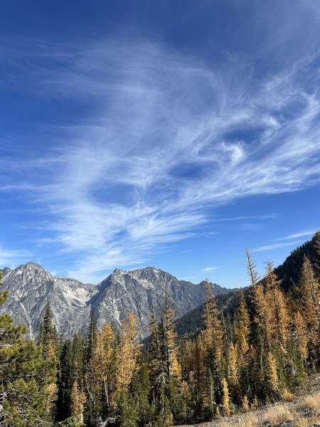
Or appreciate the beautiful skies above:
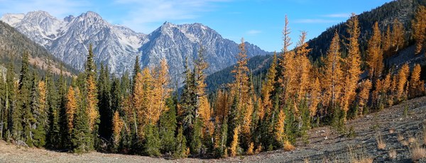
At 5.5 miles we crested the pass and got a real treat:
From here it took us about an hour to cover the remaining (steep!) 0.9 miles to Navaho Peak. The bootpack was easy to follow but fairly steep and quite slippery in many places, due to tiny loose rocks and pebbles on dry dirt. In particular take caution when descending; at least a couple of us slid a few times later on during descent.
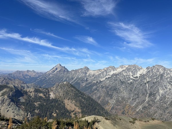
Our lunch at the summit provided stunning 360-degree views, including the mountains south of the Enchantments:
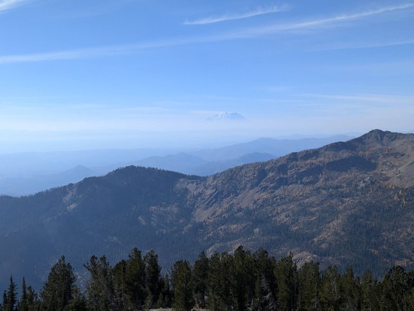
And Tahoma (Native name for Mt. Rainier):
After a nice break and victory pose, it was time to head down.

We descended our ascent route, taking extra precaution on the slippery sections back down to Navaho Pass. From there, everyone was in good spirits with energy to spare, which made short work of the remaining 5.5 miles back to the TH.
In total we covered just shy of 13 miles with 4200' of elevation gain in 8 hours car to car. Thank you to our leader Sherrie and the entire team for a lovely larches lark!
 Nathan Goulding-Hotta