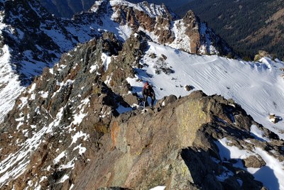
Trip Report
Harding Mountain, Solomon and Scatter Peaks
A cold overnight trip to loop through some scenic peaks
- Sat, Oct 26, 2019 — Sun, Oct 27, 2019
- Harding Mountain
- Scrambling
- Successful
-

- Road suitable for all vehicles
-
Road is bumpy and potholed as always. Scatter Creek at 4,500 on the trail was a bit high, but we could still cross on rocks. Snow was present on almost the entire route above 4,000 feet. Depths and coverage varied with aspect and elevation, but we never wished we had snowshoes.
Ian, Luke and I pulled into the Scatter Creek TH Friday night and waited in the car while a thick rain fell for over an hour. It was chilly, though the real cold front had yet to arrive.
We started hiking the next morning at 7 and took a little over 3 hours getting to the nice campsite at the head of Scatter Creek. Fresh snow made bushwhacking through the blowdown section of trail a bit unpleasant. We went high through the slide alder as best we could.
After pitching tents in the nice meadow, we set off for Harding Mountain. There are many avalanche paths off Solomon and Harding, and we even crossed some debris from the previous week. But there was barely ankle deep snow in most places until we got up high. Occasional post-holing between boulders, but not enough to wish we'd carried snowshoes all that way.
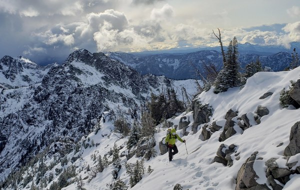
Some strange dark clouds blew through the Stuart Range while we were up there. Snow blew our way and we got mildly concerned, but it cleared after an hour. We made the only entry in the register for this year and slogged back to camp by sunset.
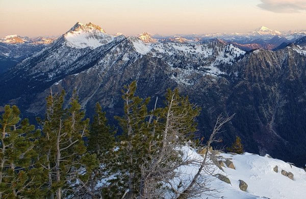
The next morning, Luke and I got up at 6 to bag Solomon and watch the sunrise. I found my name in the register from 2015; my first rock scramble with the club. Again, we were the only ones to sign the register this year. Below is the sun rising on The Cradle.
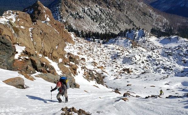
We packed our gear and went back to the saddle to get Scatter Peak. There is easy terrain south toward the east side of the peak and a gulley that goes up to the summit plateau just on the north side of the summit block. Standing at the bottom on this gulley, an imposing rock face towers above you to the summit. However, it was shaded and steep snow, so we went up a snow slope to the south side instead and wound up corkscrewing all the way around the peak on crummy, loose terrain to get to the plateau. The gulley just north of the summit is definately the way to go from this direction.
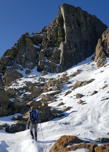
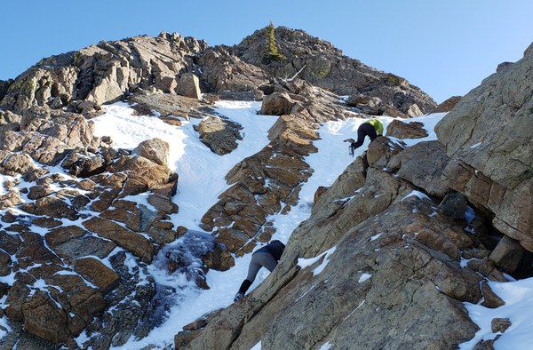
The final scramble included a 30 foot snow-filled gulley with a good amount of water ice mixed in, and mildly exposed grippy rock. Really fun peak, and a great summit!
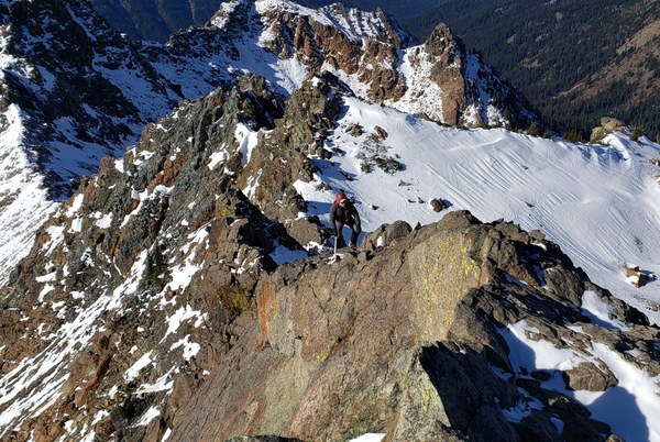
We originally planned on doing Scatter West (Middle Scatter?) and then Scatter Benchmark and hitting the old county line trail back down. Because we took extra time on Scatter Peak, we skipped the west summit, traversing across the entire basin at 6,600. Scatter Benchmark was an easy way to round out the weekend.
We followed the snow-covered, unmaintained trail down in beautiful forest with the late-day sun trickling through. Cut logs and cairns above the snow gave enough clues to get through. Truely a spectacular October afternoon to finish off a great weekend.
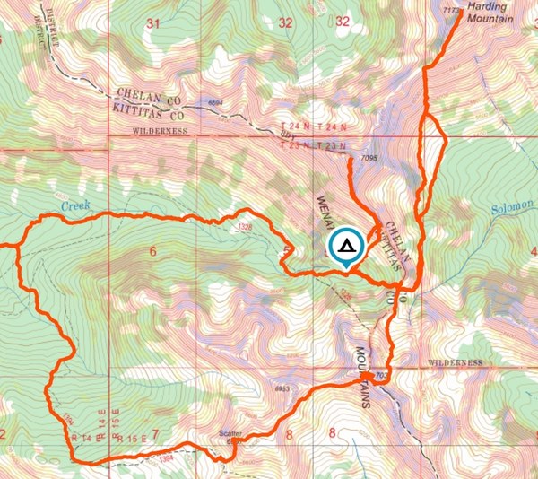
14.5 miles, 7,500 gain
 Brian Hill