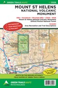
Mount St. Helens Climbing, WA No. 364S
Green Trails Maps
Mountaineers Members Discount
Log in to access the promo code and receive 20% off your order.
Description
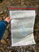
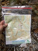
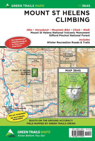
This map is essential gear for anyone planning on climbing or hiking or running around America’s most famous active volcano. This highly detailed map (Scale 1: 34750) is regularly revised to show realignments and route changes on the round-the-mountain Loowit Trail as well as its feeder trails. Map shows the complete 29-mile Loowit Trail and the water sources and campsites along the way. Map also details Butte Creek, June Lake, and Ptarmigan trails used for accessing the Loowit Trail and climbing Mount St Helens. In addition to the climbing routes, this map also contains the extensive Marble Mountain Sno-Park ski trail network, the Kalama Ski Trail, and a couple of the nearby snowmobile trails.
