Trip Report
Alpine Scramble - Sunset Park Ramble
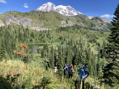
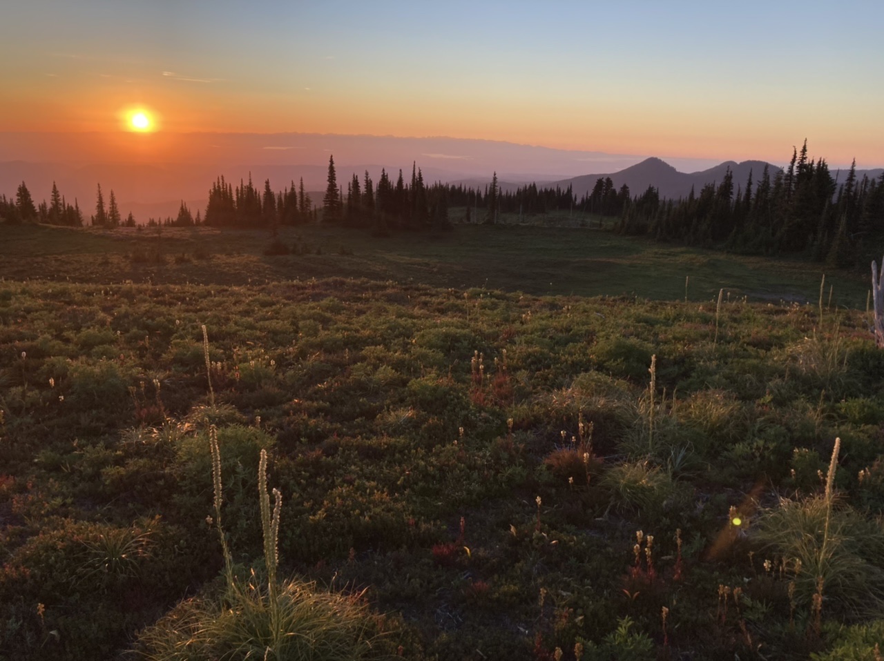
Mount Rainier’s Sunset Park, the very best place to see two kinds of sunset: the sun setting over Puget Sound, as well as its rosy glow on the western slopes of Mount Rainier. We had ideal conditions which included a scramble to Point 6718 as well as blueberries and numerous wildlife sightings (Black Bear with cub, mother Grouse with chicks).
- Sat, Aug 6, 2022 — Sun, Aug 7, 2022
- Alpine Scramble - Wonderland Trail: Mowich Lake to Westside Road
- Mowich Lake to Westside Road
- Scrambling
- Successful
-

- Road suitable for all vehicles
-
The South Mowich Bridge was still OUT as of our first day (Saturday, 8/6). Since two fords of the South Mowich River seemed a bit much (one outbound from Mowich Lake, another inbound back to Mowich Lake, both late in the day with mid-thigh water levels per MRNP rangers), we opted to give it a go using the West Side Road as an out-and-back (versus a traverse).
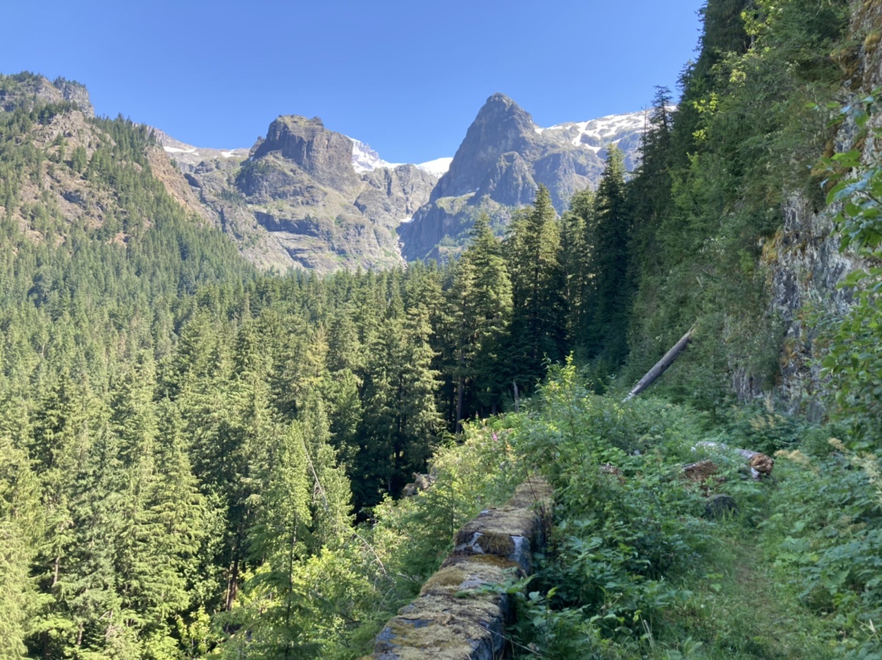
The West Side Road is a great opportunity to see examples of massive CCC (Civilian Conservation Corp) stonework. A portion of that is shown here on the abandoned road segment between Klapatchie Point and the North Mowich River Bridge:
We paused on the North Puyallup Bridge…
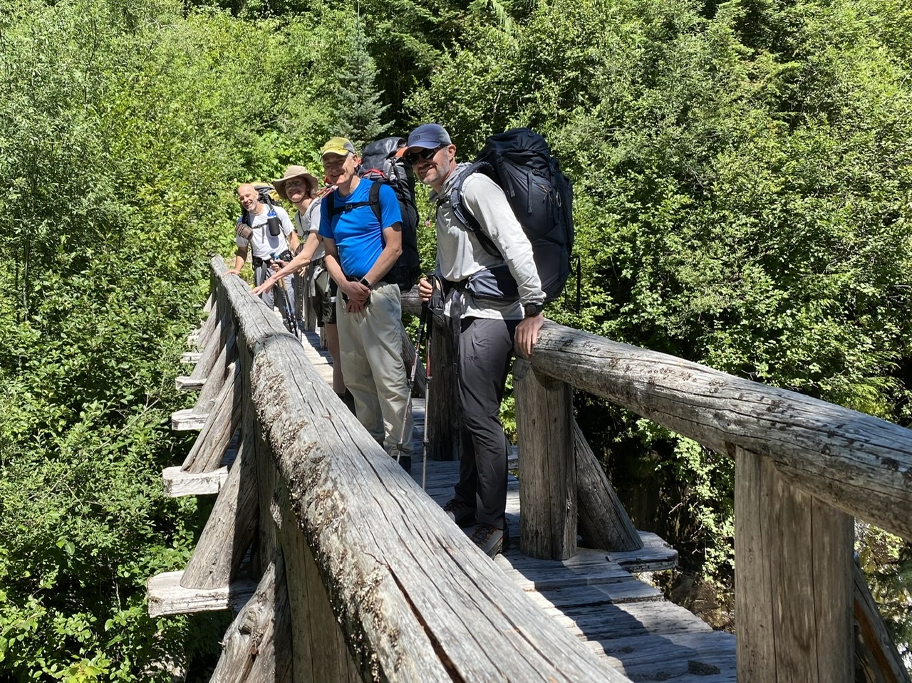 (photo by Erin Vagely)
… and noticed the powerful waterfall below that pours into a roiling stone caldron carved over millennia:
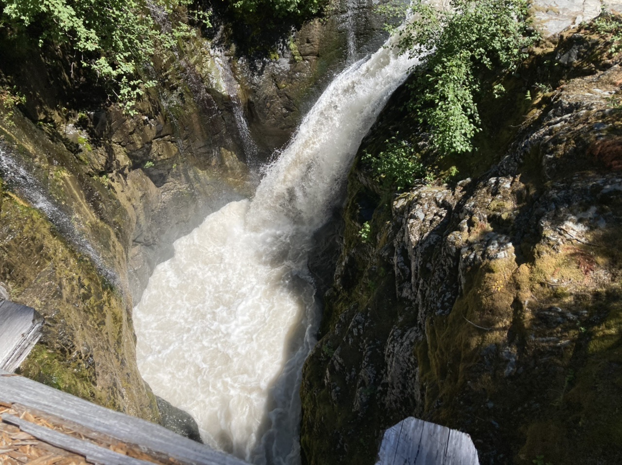 You can see a video of this waterfall here.
The afternoon found us plodding up the excellently graded/shaded Wonderland Trail, until turning right on the decaying Sunset Park boot path (just above 5200’). After gaining a bit we traversed cross country to water-up at the 5318’ tarn…
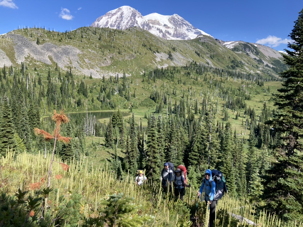
… then proceeded a bit further to our ~5700’ campsite near the Sunset USGS marker:
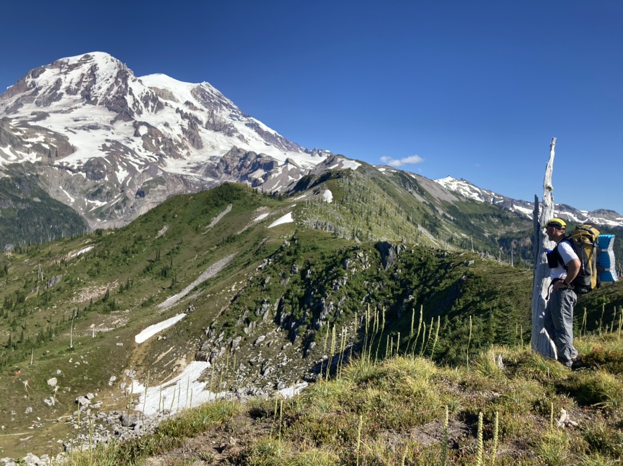
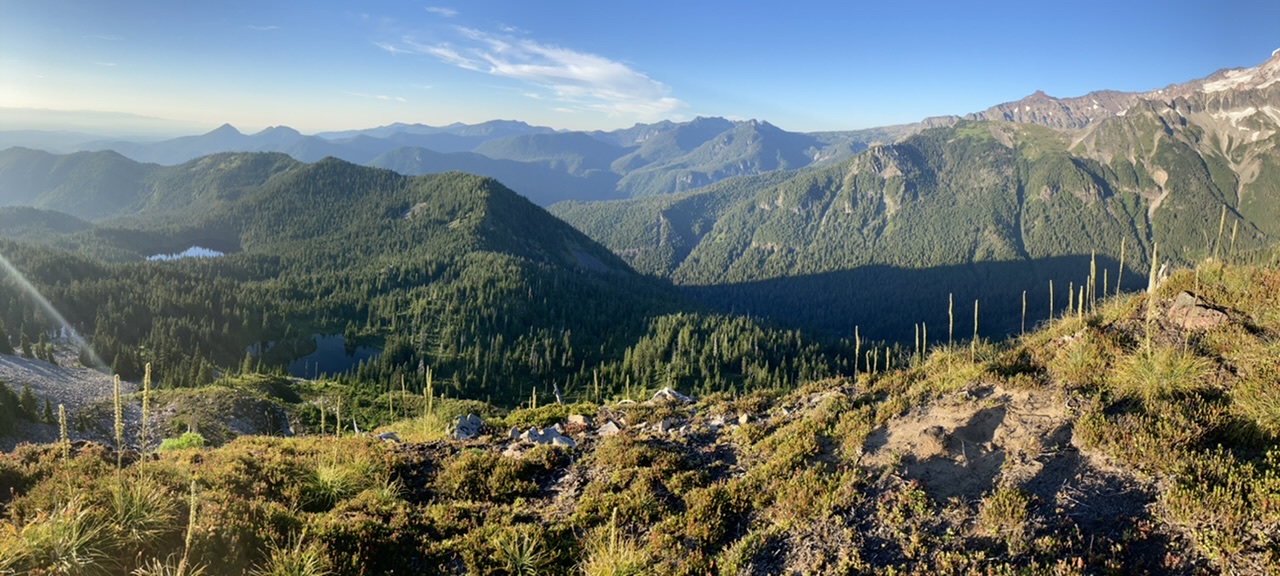
After setting up camp we rambled through meadows for some great overlooks of Golden Lakes (one of them at the remains of an abandoned lookout).
It wan’t long before the the Sunset Park show started:

After a greatly deserved night’s rest (no snores were heard, I suspect because no one was awake to hear them ;), the next morning we rambled upwards to the site of the old lookout at Point 6718.
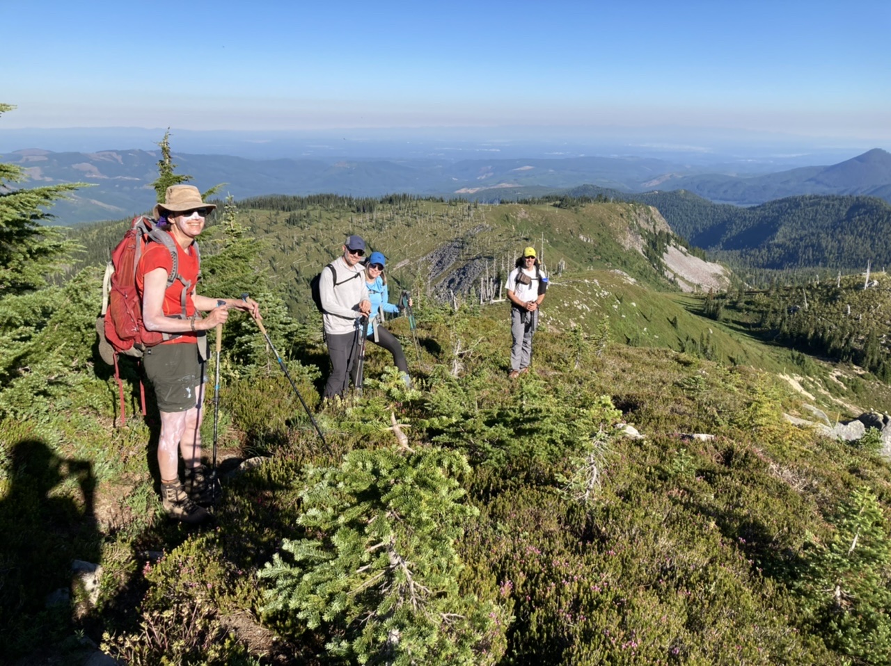
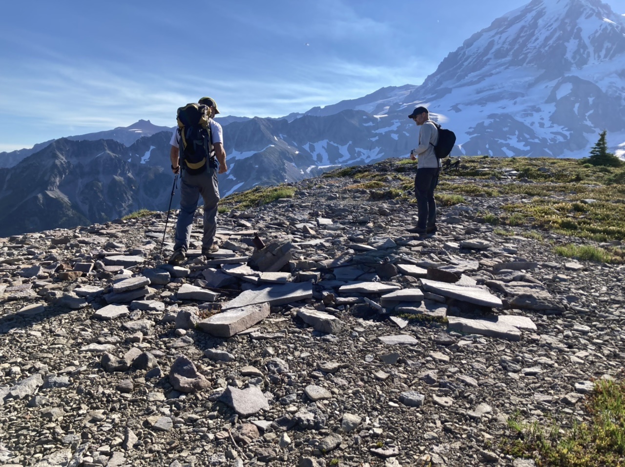
Erin Vagely found this great resource concerning the rich lookout history of Sunset Park at willhiteweb.com . Just a bit further east (and somewhat lower) is an easy crag with great views of Rainier…
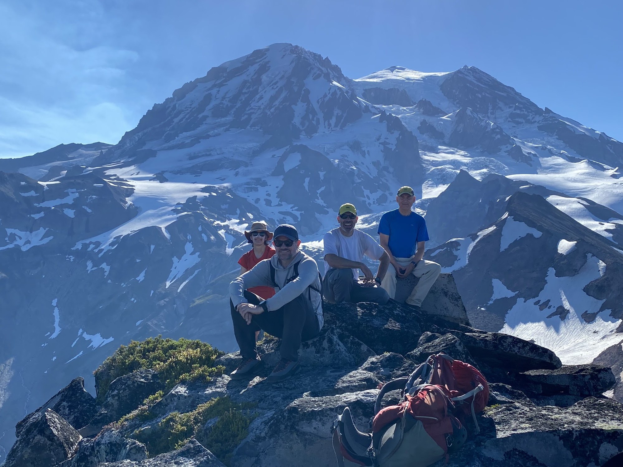 (photo by Erin Vagely)
… and the majestic South Mowich River (you can see Observation Rock and Spray Park in the distance, ):
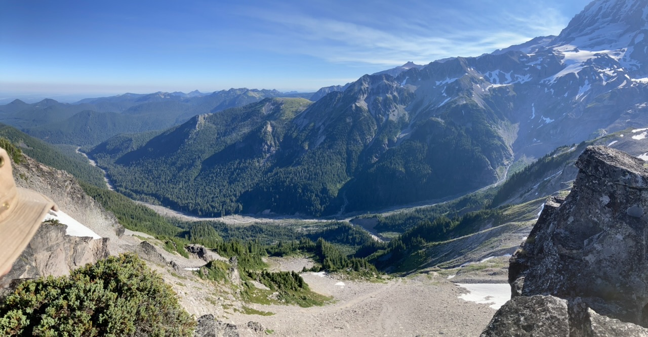
By 11am (with some serious Blueberry munching on our way back to camp ;) we finally departed, and after a last fond glimpse of Sunset Park from the Wonderland Trail, started the long hoof back to the cars at ~2800’ on the West Side Road.
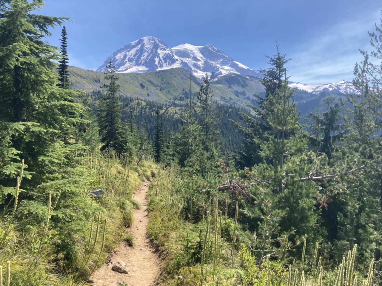
A beautiful and historically interesting setting (plus a great workout) with a total of ~35 miles and ~7000’ of elevation gain spread over two days. This included ~3 miles and ~1000’ of elevation gain for our daypack segment up to Point 6718. Our first day (Saturday, the cooler day) was 8.5 hours from the cars to camp, with our second day (Sunday) consuming 3 hours for our daypack jaunt to Point 6718, and 7 hours from camp back to the cars (arriving at 6pm). Erin Vagely’s photos can be seen here, Leaf Petersen’s are here, and mine from this and other trips to this venue can be seen here.
 Dave Morgan