Chiricahua Mountains, AZ No. 2934S
Green Trails Maps
Mountaineers Members Discount
Log in to access the promo code and receive 20% off your order.
Description
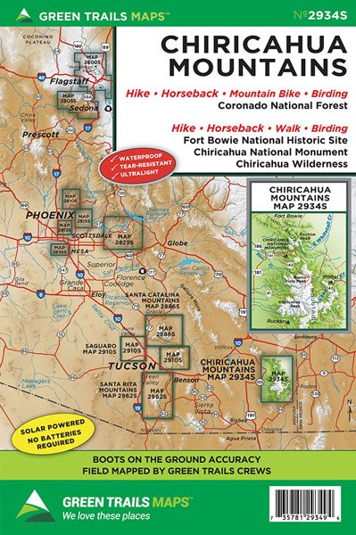
The largest mountain range in the Sky Islands; Southeastern Arizona’s Chiricahua Mountains contain incredible biological diversity including 370 species of birds. Our map no. 2934S covers this fascinating range including all of the 87,700-acre Chiricahua Wilderness, the 12,000-acre Chiricahua National Monument, Emigrant Canyon, Wood Canyon, and the Fort Bowie National Historic Site. Use this map to explore this fascinating land of the Chiricahua Apaches led by Cochise and Geronimo. Hike through hoodoos and clusters of balancing rocks and old calderas. Wander through historic ranches or head out to find old mines. Hike along the Crest Trail to 9,763-foot Chiricahua Peak, the highest summit in the range and take in sweeping views that include peaks in New Mexico and Mexico. Map includes a larger scale (1:40,000) inset of the Cave Creek Canyon and Rustler Park areas. Here wander easy nature trails or make the exhilarating hike to the historic lookout site on 8008-foot Silver Peak.
Original Edition 2016, Current Edition 2022
Map Scale 1:63,360
Original Edition 2016, Current Edition 2022
Map Scale 1:63,360
