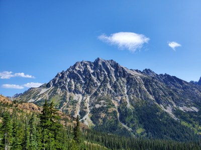
Trip Report
Intermediate Alpine Climb - Mount Stuart/West Ridge
A fun climb with a strong team!
- Sat, Aug 15, 2020 — Sun, Aug 16, 2020
- Intermediate Alpine Climb - Mount Stuart/West Ridge
- Mount Stuart/West Ridge
- Climbing
- Successful
-

- Road suitable for all vehicles
-
As can be expected in mid-August, the entire route was free of snow with the exception of the permanent snowfield at the transition from the top of the Cascadian Couloir to the false summit. The ice axes we packed never came off our packs.
Is it weird to have a favorite mountain? For me, Mount Stuart has occupied that spot ever since I took in my first front-row view of the entire Stuart range from Bean Peak as a budding Alpine Scrambling student. Now as a budding climb leader, getting the opportunity to lead a trip up my favorite mountain is pretty awesome.
The climbing team convened at the Esmerelda TH on Saturday at 5:30 AM and started walking by 6:00 AM. The Ingalls Way trail at this time of year is free of snow; we cruised up the trail, reaching Ingalls Pass by 7:15 AM. An hour later, we had made our way over to Lake Ingalls to fill up on water and soak in views of our objective.
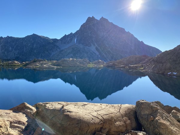
The hike from Ingalls Lake along Stuart Pass to the base of the climb was pleasant and uneventful. By 10:00 AM, we were gearing up and getting ready to climb.
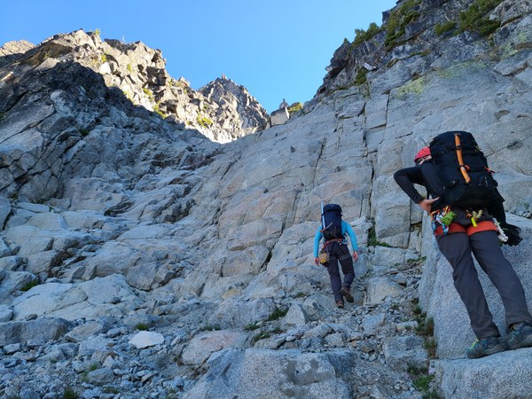
As the route profile on the Mountaineers' site suggests, this climb is largely scrambling on a huge granite massif. Having ascended the Cascadian Couloir twice in the past, the solid granite blocks of the West Ridge are luxurious compared to the kitty litter and loose boulders of the Cascadian. The way up the first gulley is very straight-forward - what looks like a granite staircase takes you to the top of the gulley at 8200'. We reached the top of this gully by noon and took in the views while having a quick lunch.
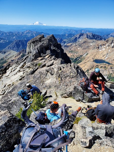
We continued onto the next gulley under Long John Tower and made our way up, keeping towards the right. Like many parts of the climb, climbing up to the notch by Long John Tower looks worse from a distance than it actually is. By around 1:00 PM, we were standing next to Long John Tower looking towards the summit. So close, yet so far away. The scramble from Long John Tower to the West Rib notch contains some airy but manageable sections. One last gulley to ascend and we made the West Rib notch around 2:30 PM.
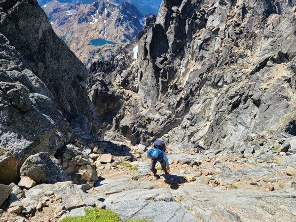
From the West Rib notch, a short scramble puts you on a great platform to belay a leader. Finally, some roped climbing! The climbing route takes you over to the North side of the mountain which allows for great views of Stuart Lake and the western end of the Enchantments. Sadly, this roped section ends right when the climbing gets fun.
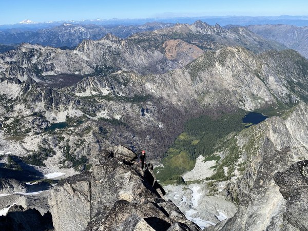
A short scramble takes you to the final boss pitch - the 5.6 twin finger/hand cracks. We finally caught up to a couple parties who had departed the trailhead an hour earlier than us. Fortunately there was minimal waiting on this final section. Just like the first roped pitch, the 'crux' pitch goes by too quickly.
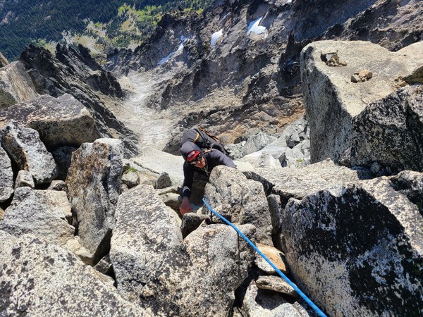
From there, its a short walk up to the summit, which we attained at little after 5 PM. Fortunately the other parties had already taken off, leaving us the only party on the summit.
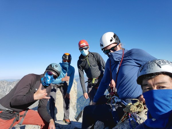
A short jaunt past the false summit took us to our pre-planned bivvy location at the top of the Cascadian Coulior at 8400'. All that separated us from relaxing in our view-tastic bivvies was the mind-numbing chore of melting snow to fill our empty water bottles. We had two stoves with the smaller MSR fuel canisters which proved to be insufficient for our group. If I do a carry-over on this route again, I will be sure that we have one stove per two climbers. At least the views from our bivvies were top-notch.
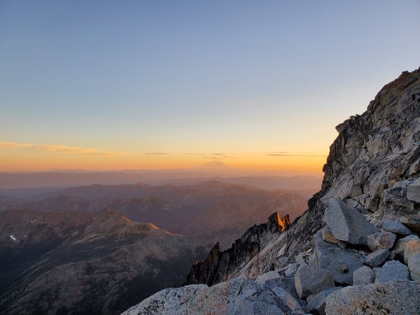
On Sunday, we were up and moving by 6:30 and had planned on climbing Sherpa Peak, but weren't able to make our way along the shoulder from Stuart to Sherpa. With that, we descended the Cascadian Couloir, taking the cut-off trail at ~6200' which is a heck of a lot more pleasant than taking the CC all the way to the Ingalls Creek Trail. Up and over Longs Pass, and we arrived at the cars by Noon.
 Chris Swarthout