Trip Report
Winter Scramble - Guye Peak (winter)
Turned around at deep, unconsolidated snow slope about 4700ft, just a little above the tarn on the ridge: didn’t seem safe with the persistent deep slab avy danger.
- Sat, Dec 22, 2018
- Winter Scramble - Guye Peak
- Guye Peak
- Scrambling
- Turned Around
-

- Road suitable for all vehicles
-
GPX track: https://peakbagger.com/climber/ascent.aspx?aid=1084318
Trip from Commonwealth Basin, staying on the west side of the creek. Parked at the overflow lot at Summit West (no parking restrictions or permits needed). When you first enter the woods by the Sahalie Ski Club hut you will encounter a “Private Property – Stay Out” sign. Please respect land owners’ wishes and stay closer to the creek.
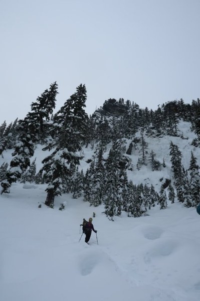
We were able to follow gps tracks and several group members’ memories of the route. The key is to not ascend too quickly after you leave the road, although it's tempting to go straight for the peak; you will get cliffed out. We stayed relatively low and were lucky to find an old snowshoe (or ski?) track that went to the ridge between Guye Peak and Cave Ridge, thus saving us a lot of trailbreaking and routefinding.
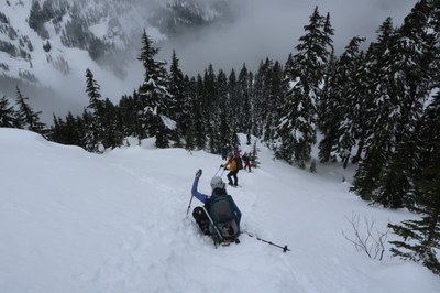
From the ridge and the tiny tarn we ascended the obvious slope, trying to stay on the ridge due to avalanche danger. The snow was less consolidated on the open slopes (see photo above), and when the aspect changed - we encountered a west-facing slope instead of the east-facing ones we’ve been crossing -- the snow conditions no longer seemed safe.
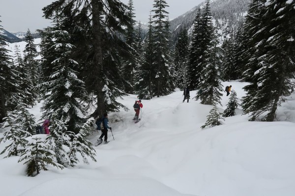
We had Guye Peak and the Commonwealth Basin to ourselves on this beautiful morning before another winter storm rolled in. Our group of eight took turns breaking trail and navigating through the steep woods, and enjoyed huge icicles and giant snow-covered trees. Several birds and a swarm of tiny snow bugs also made an appearance (I’m not a naturalist, so I have no idea what they were, sorry).

The avalanche danger was low below treeline and moderate near / above. We took extra precautions crossing several slopes that were somewhat open, wearing our helmets, increasing the spacing between people and crossing one at a time. All but one party member were wearing avalanche beacons, and we had done an avalanche and route discussion before starting; it was good to agree on the route and level of risk we were willing to take. The decision to turn around was an easy one to make – we trusted our leaders’ assessments of the danger and we were not willing to risk our lives “for Guye Peak.” Still, it was a wonderful day out with a great group of old and new friends.

Started at the trailhead around 8am, back at the cars before 1:30pm with several short and one longer “summit” break at the tarn. About 5 miles, 1800 ft ascent. Many thanks to John B. for organizing and leading, and Sherrie T. for sharing her photos.
 Alina Badus