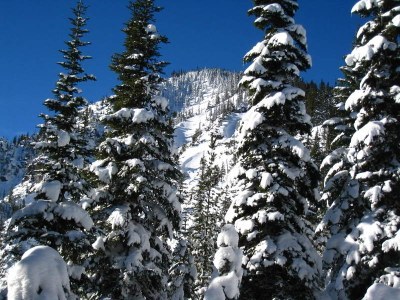
Arrowhead Mountain
Arrowhead Mountain is a scramble of 6 miles with 3,000 feet of gain.
getting there
Drive to the west end of the east tunnel entrance, approximately 7 miles east of Stevens Pass. Park in pullouts along the shoulder. Note that these are not designated winter parking areas, so look for "no parking" signs and avoid parking where you would impede snowplows. To start the tour from here, walk west to the logging road, Forest Road 687 that heads ESE.
Approach & Ascent
Standard Route
Ascend east on Forest Road 687, cross Henry Creek, and take the right fork at the junction next to an unnamed creek. Take the lefty fork at the next junction to the bottom of a clearcut, just west of unnamed creek (~4,200 ft). Ascend the clearcut directly south, passing a rocky outcrop in the middle of the slope on the right. On entering trees (to go to Arrowhead Mountain) turn east across a flat area and continue east to the north ridge of Arrowhead Mountain. Turn south and follow the ridge to the summit.
Alternate Route
Ascend east on Forest Road 687, cross Henry Creek, and take the right fork at the junction next to an unnamed creek. Take the lefty fork at the next junction to the bottom of a clearcut, just west of unnamed creek (~4,200 ft). Ascend the clearcut directly south, passing a rocky outcrop in the middle of the slope on the right. Continue slightly east of south to the southwest ridge of Arrowhead Mountain, then turn northeast to Arrowhead Mountain.
ski descents
- Ski the glades on the west face off of the summit.
- From the summit descend and traverse north and ski the broad northwest ridge.
- Ski glades in tight trees off Point 5909.
- If conditions are right, ski the steeper south-facing glades and avalanche paths that head to Whitepine Creek. You'll also have to climb back up ~2,500 feet.
- Suitable Activities: Backcountry Skiing, Scrambling
- Seasons: Year-round
- Weather: View weather forecast
- View avalanche forecast.
- Difficulty: Technical 3, Winter Scramble, Strenuous 3, M2 Advanced Ski
- Length: 7.0 mi
- Elevation Gain: 3,300 ft
- 6,030 ft
-
Land Manager:
Okanogan-Wenatchee National Forests
Alpine Lakes Wilderness
- Parking Permit Required: Northwest Forest Pass
- Recommended Party Size: 8
- Maximum Party Size: 12
- Maximum Route/Place Capacity: 12
- USGS Stevens Pass
- Green Trails Alpine Lakes East (Stuart Range) No. 208SX
- USGS Labyrinth Mtn
- USGS Chiwaukum Mountains
- Green Trails Alpine Lakes West (Stevens Pass) No. 176S
There are no resources for this route/place. Log in and send us updates, images, or resources.
