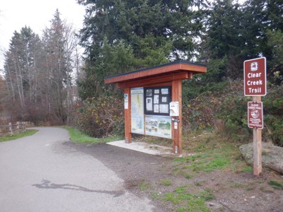
Clear Creek Trail
An easy, level, network of trails that allow for multiple trips of varying distances distances over the intersecting seven miles of trails. Located in Silverdale the trails mostly follow Cedar Creek, a salmon habitat, as it flows into Puget Sound's Dyes Inlet.
getting there
Driving
There are a few locations to access the trail with the most popular located at the Silverdale Rotary Gateway Park. Take Exit 45 off of SR-3 in Silverdale and turn right onto Kitsap Mall Blvd and then immediately left onto NW Randall Way. Drive 1 mile, turn left onto Silverdale Way, continue 0.9 mile, and turn left into Silverdale Rotary Gateway Park.
Transit
- Kitsap Transit #36
- Kitsap Transit #25
on the trail
at once in the suburbs are simultaneously immersed in the natural world
Craig Romano, Urban Trails: Kitsap
The trail is spread over 40 acres, and about two miles of this trail network is on raised boardwalk covered by trees that present a unique contrast to the surrounding area. Use the network of trails to make an out-and-back or loop trip of the desired length.
- Suitable Activities: Day Hiking, Trail Running
- Seasons: Year-round
- Weather: View weather forecast
- Difficulty: Easy/Moderate
- Length: 7.0 mi
- Land Manager: Kitsap County Parks
- Parking Permit Required: None
- Recommended Party Size: 6
- Maximum Party Size: 6
- Maximum Route/Place Capacity: 12
This is a list of titles that represent the variations of trips you can take at this route/place. This includes side trips, extensions and peak combinations. Not seeing a title that fits your trip? Log in and send us updates, images, or resources.
- Silverdale Rotary Park
- North Wetland Trail
- Old Mill Park
- Silverdale Waterfront Park
There are no resources for this route/place. Log in and send us updates, images, or resources.
