Dash Point State Park
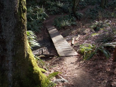
A state park that straddles SR-509, with camping, eleven miles of forest trails for hikers and bikers, and 3,301 feet of saltwater shoreline on Puget Sound.
Notes
- A schematic trail map available at Park Office.
Information for Leaders
Scheduling & Permits
- This route allows multiple bookings. Please check scheduled trips listed below in the "Activities" tab to see if there is another group already booked on the same day. Leaders are expected to contact the leader(s) of existing trips to ensure there are no concerns or conflicts, according to The Mountaineers Outdoor Ethics Policy. Please review our Group Size & Multiple Bookings page for guidance.
- The Mountaineers has a commercial use permit with Washington State Parks for all free and fee-based outings at state parks. Leaders should carry a print or digital copy of our commercial use permit to show rangers they may encounter.
- Suitable Activities: Day Hiking, Trail Running, Urban Walking
- Seasons: Year-round
- Weather: View weather forecast
- Elevation Gain: 375 ft
- Land Manager: Dash Point State Park
- Parking Permit Required: Discover Pass
- Recommended Party Size: 12
- Maximum Party Size: 12
- Maximum Route/Place Capacity: 12
- see Notes
This is a list of titles that represent the variations of trips you can take at this route/place. This includes side trips, extensions and peak combinations. Not seeing a title that fits your trip? Log in and send us updates, images, or resources.
- Dash Point: Norpoint Way Trailhead
There are no resources for this route/place. Log in and send us updates, images, or resources.
