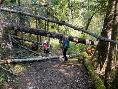
Dry Creek
A moderate, 6 mile round trip hike with 800 feet of elevation gain. The trail skirts Lake Cushman before going up the canyon beside Dry Creek. If conditions permit, you can cross Dry Creek and continue up the canyon for up to 12.6 miles round trip and 2,800 feet of elevation gain. Experienced scramblers can add the summit of Dry Mountain.
getting there
From US 101 in Hoodsport, turn west onto SR 119 and continue for 9.3 miles to the intersection with Forest Road 24. Turn left, drive 5.4 miles, and turn left onto Forest Road 2451. Reach the trailhead on the left in 0.4 mile (760 ft).
on the trail
6-12 miles round trip with 800-2,800 feet of elevation gain
Starting on the National Park side of the lake, this route crosses the causeway to the west side of the lake, and along the lakeside to Dry Creek. From there, it slowly winds uphill under steep cliffs with cascading creeks that promise to shower the inattentive hiker. The trail then eases off to cross several creeks and arrive at a crossing of Dry Creek. Most turn around here, but if the creek can be safely crossed, you can extend your trip further up the south side of the canyon along Dry Creek. To the Dry Creek crossing it is 6 miles round trip with 800 feet of elevation gain to a high point of 1,600 ft. Going beyond the crossing can extend your trip up to 12.6 miles round trip with 2,800 feet of elevation gain to a high point of 3,700 ft.
approach & ascent
14 miles round trip with 4,000 feet of elevation gain to a 4,537 ft high point
Follow the Dry Creek Trail (No. 872) to the Dry Creek ford. After carefully crossing the creek, continue on the trail to the high point of the trail at Dry Mountain/Prospect Ridge Pass (3,700 ft). Go off trail at the pass and follow the boot path in the woods on the ridge leading north to a steep rough meadow. Continue scrambling north up the meadow and at 4,500 ft head climber's right to the summit (4,537 ft).
- Suitable Activities: Day Hiking, Scrambling
- Seasons: Year-round
- Weather: View weather forecast
- Difficulty: Moderate, Strenuous
- Length: 6.0 mi
- Elevation Gain: 800 ft
- 1,600 ft
- Land Manager: Olympic National Forest
- Parking Permit Required: Northwest Forest Pass
- Recommended Party Size: 12
- Maximum Party Size: 12
- Maximum Route/Place Capacity: 12
- Green Trails Mt Steel No. 167
- Green Trails Mt Tebo No. 199
- Custom Correct Mount Skokomish - Lake Cushman
- USGS Mt Skokomish
- USGS Lightning Peak
- USGS Mt Tebo
- Green Trails Olympic Mountains East No. 168S
This is a list of titles that represent the variations of trips you can take at this route/place. This includes side trips, extensions and peak combinations. Not seeing a title that fits your trip? Log in and send us updates, images, or resources.
- Dry Mountain
There are no resources for this route/place. Log in and send us updates, images, or resources.
