Indian & Moonlight Trails
One of Burien's hidden treasures. The trail travels along the waterfront allowing for great views of Puget Sound and the homes along the hill.
getting there
From Burien, go west on 152nd Street. As it gets close to the sound it will drop eventually becoming Maplewild Ave SW. Turn right at SW 170th Pl. In a short distance you'll find a left turn for SW Three Tree Point Lane and a right turn going to some water access. Look for a few parking spots near where City of Burien signs give some rules. The Indian Trail is not obvious. Look for a small set of concrete stairs between homes heading south next to the gate which is the start of the trail.
on the trail
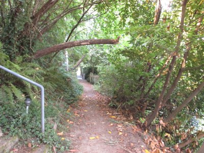
The trail meanders above the shoreline strip of SW 172nd St and then, from Three Tree Point northward, parallels Maplewild Ave SW. It is said to be the remnant of a trail used long ago by the local Native American tribes as they traveled from the south end of Puget Sound to the north.
notes
- The south end of the trail has beach access as well as does one small lot near the north end. You will lose approximately 320 feet of elevation on the way down to the shore and will regain it on the way back
- Suitable Activities: Day Hiking, Urban Adventure, Urban Walking
- Seasons: Year-round
- Weather: View weather forecast
- Difficulty: Easy
- Length: 3.0 mi
- Elevation Gain: 320 ft
- 320 ft
- Land Manager: City of Burien Parks, Recreation & Cultural Services
- Parking Permit Required: None
- Recommended Party Size: 12
- Maximum Party Size: 20
- Maximum Route/Place Capacity: 12
There are no resources for this route/place. Log in and send us updates, images, or resources.
