Trip Report
Abernathy Peak
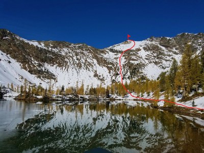
Stunning views and Scatter Lake below Abernathy Peak is especially beautiful during larch season.
- Sun, Oct 6, 2019
- Abernathy Peak
- Scrambling
- Successful
-

- Road suitable for all vehicles
-
Paved road to the Scatter Creek TH. Toilet available. NW Forest Parking Pass required.
Another Plan B due to last weekend's big snow dump.
Albert and I arrived at the Scatter Creek TH at about 7:10am after a somewhat stressful drive on the Twisp River Rd. If you're driving it in the early or evening hours, drive slowly. We saw so many animals along the way and unfortunately ran over a baby deer that darted in front of our car. Thankfully it darted off as he went to check on it.
We left the TH (3200') at 7:30am carrying our snowshoes and crampons as we didn't want to have to turn around just because we needed either. The TH register showed 4-6 people had gone to Scatter Lake and 1 to Abernathy since the snow dump. Happy to read this as we figured the trail to Scatter Lake would be pretty much broken since little snow had fallen during the week.
We see this sign soon after departing the very nice trail. Four rangers are doing trail work near here on our return.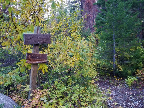
There are many switchbacks making the hiking easy. One area we pass is so severely burned that the rocks are charred too.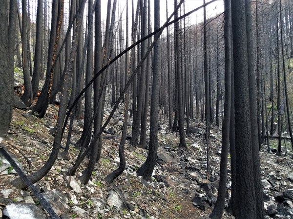 At about 5000' we see our first trace of snow. By 6000', the snow is almost everywhere although parts of the trail is totally snow free . Although not at their peak, yellow larch appear in this basin at around 6000'.
 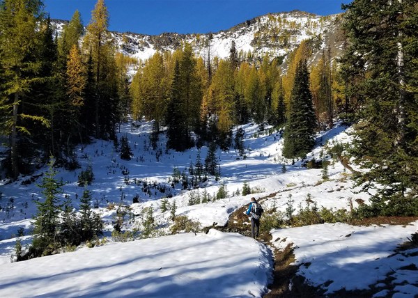 The views really start appearing as we climb higher while heading northwesterly.
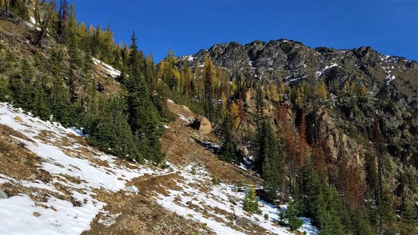 The views.
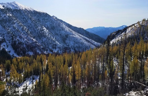 The larch get more golden as we get higher.
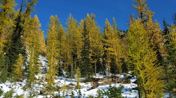 Almost at Scatter Lake (7047') with first views of Abernathy Peak (8321'.)
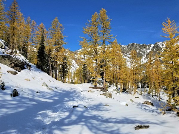 The tarn right before the lake and Abernathy Ridge.
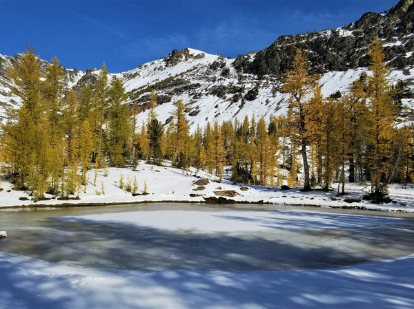 Passing the tarn and looking back at it.
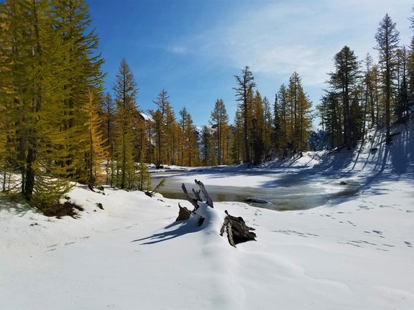 I arrive at Scatter Lake around 10:45 am, being delayed by taking photos and just being slower than Albert. It's sunny and warm while we eat our lunch at this beautiful place.
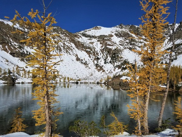 This slope is south facing which partly accounts for its lack of snow. We consider our summit options and decide on the route shown in the Summit Routes book.
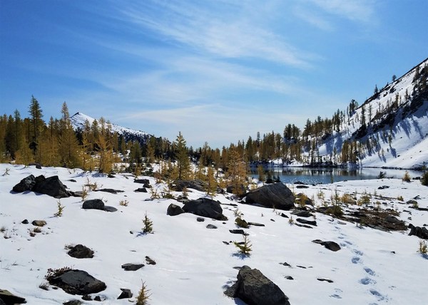
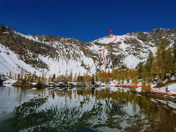 Since there is so little snow on the route, we leave our snowshoes. I put on Microspikes over my light backpacking boots while Albert is fine in his mountaineering boots. As we're about to head for the summit (11;30am) 2 young men arrive at the lake. They too are going to do Abernathy after eating lunch. It's getting hot as we pass the lake and start up. Looking back at the lake.
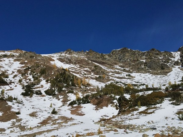
 Getting ready for the last 1300' of elevation gain.
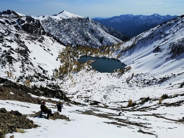
 Half way up, the 2 young men catch up while we're taking a break. They are in light approach shoes and Microspikes.
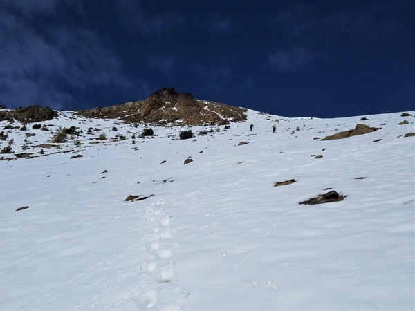
  We follow them the rest of the way. The snow was soft and never deeper than 6" when closer to the top, but still lucky for us as no more trail breaking. Almost at the summit.
 Albert arrives at the summit at 12:50pm.
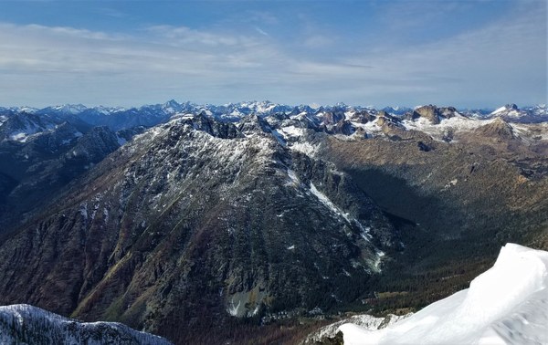
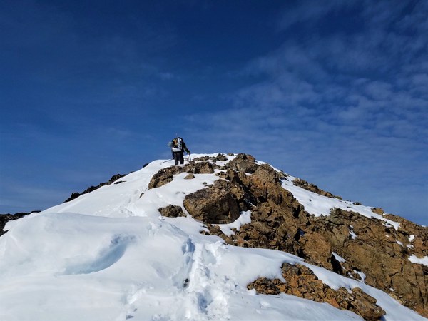 Fantastic views from the summit.
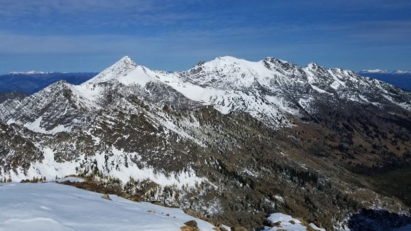
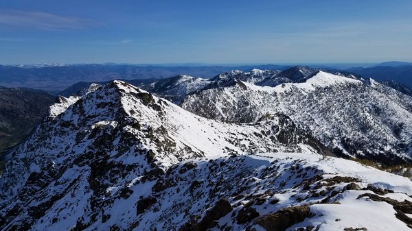
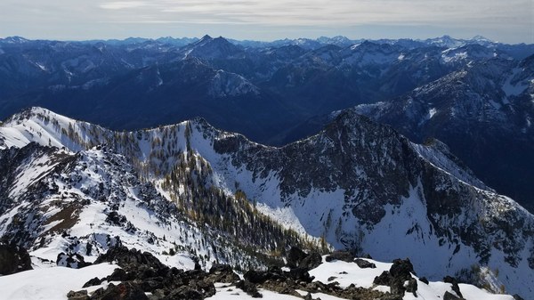
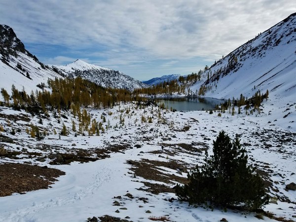
 It's breezy on the summit so we don't stay long. The blue skies have given away to clouds as we near the lake.
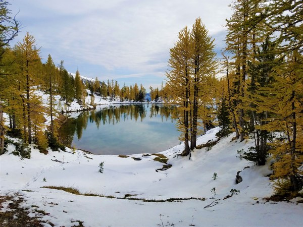
 It's 2pm when I take this last photo of the lake from its north side.
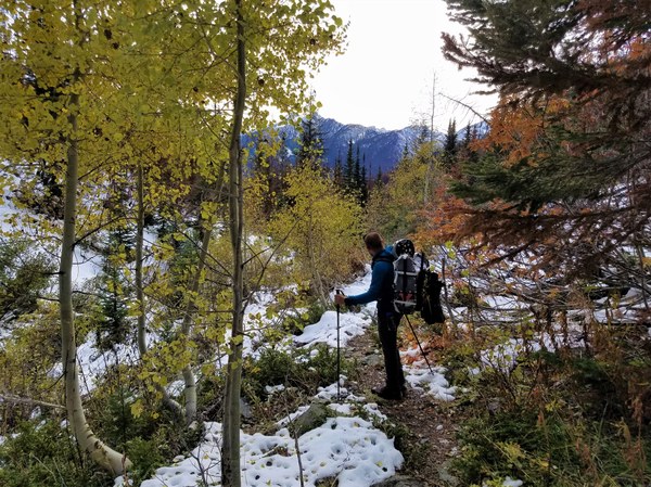
  One last trail photo with some birch color.
  Back at the car at 4:40pm. Depart at 5pm. Dinner at Mondo's where we meet another Mountaineers group returning from their trip. Ashway P&R around 9:30pm and home at 10pm.
Albert's GPS read 11.25 miles R/T - 5209'gain
Thanks to Albert for not bailing on me after Plan A was rescheduled and what a great day with conditions so much better than anticipated.
 Susan Shih