Trip Report
Alpine Scramble - Boundary Peak
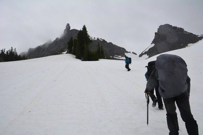
A fun trip to a less visited Rainier 100 peak foiled by white out conditions.
- Sat, Jun 20, 2020
- Alpine Scramble - Boundary Peak
- Unicorn, Foss, Boundary & Stevens Peaks
- Scrambling
- Turned Around
-

- Road suitable for all vehicles
-
The snow lake trail head is currently snow free. Patchy snow starts fairly early on but the trail is easily followed up to Bench lake. From Bench lake on the trail is completely snow covered and will require route finding skills. The ascent gully from Snow lake is snow covered top to bottom as well as the gully up to the Unicorn saddle. The moat around the rock at the Unicorn saddle are quite large and deep at this time and may become a serious problem to negotiate in the near future.
We started our trip at the Snow Lake trail head at around 7:30 in the morning. Currently the Stevens Canyon road is closed to further travel at this point. At this time we were the only vehicles parked at the trail. Weather for the day was predicted to be moderate rain up to a possible three quarters of an inch for the day, a much worse report than the sunny day predicted earlier in the week.
From the trail head we made quick progress to Benchlake which is completely melted out. At this point the rain that was falling on us earlier had stopped allowing us some nice views which we were not expecting .
Unexpected views, Unicorn peak
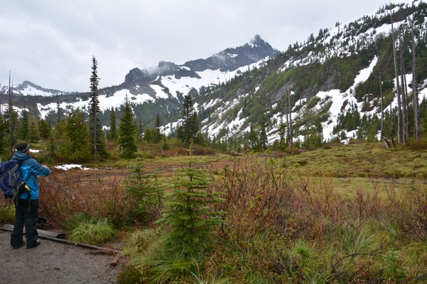
From Bench Lake we proceeded to Snow Lake. From this point on the trail became completely snow covered. Route finding was fairly easy and we quickly dropped into the Basin containing Snow lake and our approach to the upper basin. From this point on we made no attempt to stay on the actual trail to Snow Lake. Instead we just carefully worked our way to our approach gully to the upper basin choosing the best terrain.
The approach to the upper basin
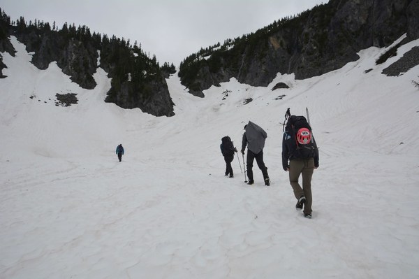
The gully to the upper basin was still covered in deep snow which I was not expecting for how late in the year we are at. After donning our helmets and getting our ice axes out we started up it. As we worked our way up we would occasionally run into harder patches of snow which slowed us a bit. In the end we made slow but steady progress up and finally reached the upper basin.
Our views of the upper basin were limited by clouds moving through the area but we could see that Foss was still covered in snow as well as the ridge running to it. There were also large cornices dotting the ridge line running to Foss Peak. From this point we headed towards the gully heading up to Unicorn Saddle. At the base of the gully some participants decided to put on crampons to deal with any hard snow we may encounter.
Pinnacle, Castle, Foss Peak
photo Jason Boeh
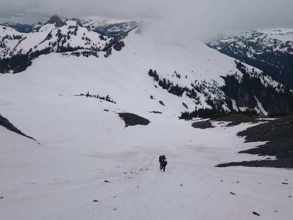
The approach to Unicorn saddle was much easier then the earlier gully. Upon arriving at the top we were greeted with large moats that were very deep. After some careful exploring we finally settled on which way to go. From this point we worked our way around the backside of Unicorn Peak and looked for a way to gain the ridge. I was worried after looking at things that we may not be able to find a safe way up with the moats around the rock. After some working around a bit we found a way up to the ridge line.
Ridge line to Boundary, approach in center of picture.
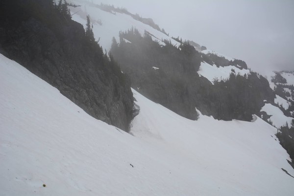
Upon gaining the ridge we started to head for Boundary peak, it was at this time that we entered a complete white out. At this point we were less than .2 miles from our goal. After some quick discussion it was decided that this was a good time to stop for a bite to eat and see if the white out would lift. After our lunch it appeared that the weather had no intention of letting us see anything and may have in fact gotten worse. As much as we didn't want to we started the discussion of turning the trip around at this point. One comment made during that discussion pretty much made everyone's decision. This comment was "When I can't see where the sky begins and the ground ends it's time to turn around." Thus began our careful retracing of our steps back down from the ridge line.
Descending off the ridge line back to our entry point
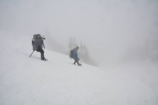
Once we made it back to Unicorn saddle we proceeded to glissade down to the basin below. We were able to make quick time across the basin by glissading short sections and plunge stepping others to get back to the final gully down to Snow Lake. At this point we prepared for what was going to be the most likely longest and steepest glissade of the day. Due to the lack of visibility we took a measured pace as we sent participants down the chute one by one.
Once back at Snow Lake we quickly stowed our helmets and axes and started for the cars. At this point it once again started raining. It rained on us all the way back to the trail head. On our way back we encountered around three groups of other hikers and passed one solo hiker. Upon our arrival at the trail head we found the parking area nearly full.
Even with the less then stellar weather and no peak for the day we all still had fun.
Total trip time was right at six hours.
Distance was 5.07 miles with an elevation gain of 2,900 feet.
All stats per Orux maps.
 Jerrick Linde