Trip Report
Alpine Scramble - Cashmere Mountain
Such beautiful views of the Enchantments and a great workout - it is a shame this scramble doesn't get done more often!
- Sun, Sep 15, 2024
- Alpine Scramble - Cashmere Mountain
- Cashmere Mountain
- Scrambling
- Successful
-

- Road rough but passable
-
FS Road 7601 from the Stuart Lake TH to the Eightmile TH is rough with many potholes and protruding rocks, but should be passable for most vehicles. The Eightmile-Trout Creek Trail is brushy and overgrown with a few old blowdowns in the burn zone. We passed some deer hunters on a week long camping trip, so be aware of potential hunting activity.
Our group of five had an alpine start at 5am. We anticipated this trip could take up to 12-14 hours, and it is always nice to get home at a reasonable hour on Sunday before returning to work the next day. With the immense popularity of the neighboring Snow Lakes and Stuart Lake THs, we wanted to get there before the parking lot filled up. Luckily, there was still plenty of parking at 5am.
We made great time on trail which spread the elevation gain out so much it was almost sneaky. It was chilly and the overgrown sections through the burn zone were still wet from prior rain. After multiple miles and a "lunch" break (which was at breakfast time due to the alpine start) at Lake Caroline, we started to get views of our target.
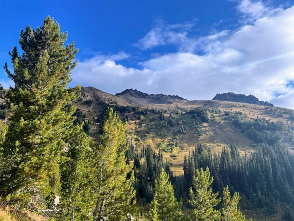
The trail continued up switchbacks to Windy Pass, where we followed the well-defined bootpath on the mellow ridge towards Cashmere's West Peak. Before Windy Pass, we saw the last of the season blueberries as well as a creek water source.

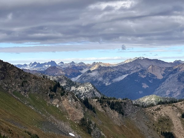
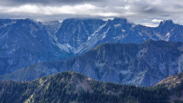
This is when we started to get some great views of the Stuart Range and Enchantments, the latter under a cloud ceiling.
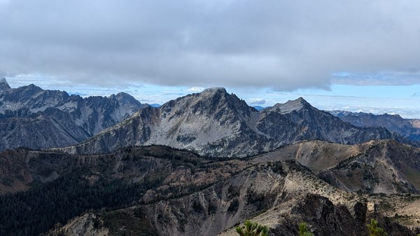
Passing the West Peak brought us into an otherworldly boulder field with interesting rock towers and obelisks. Care was needed here for route finding.
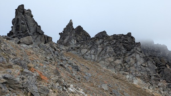
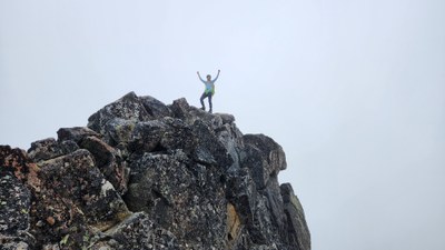
After taking a harder than necessary path through the boulder field, we returned to bootpath and traversed the saddle to Cashmere's summit pyramid which was socked in. We followed the bootpath to climber's left and traversed through loose rock until under the summit. There was a nice area to sit just under the summit block. We took turns summiting, which required a few airy moves. Due to the loose rock and limited room on the summit, a party size of 4-6 would be ideal (in snow-free conditions).
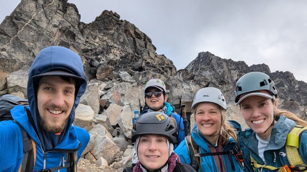
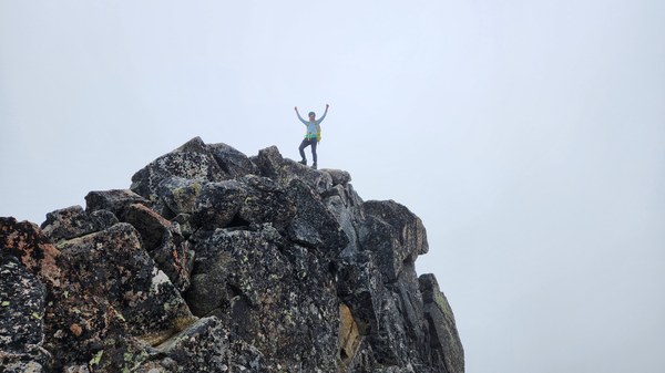
Of course, as soon as we began descending the summit fog started to clear. It was a long slog back. We opted to reverse our route and stick to the trail, rather than take the shortcut route that may have involved bushwhacking.
In total we logged 20 miles, about 6000 ft of gain, and 11 hours 45 min.
This was my 25th Smoot Peak and I'm so honored I got to get out with skilled scramblers that worked so well as a team on route finding and decision making.
 Emily Goren