Trip Report
Alpine Scramble - Copper Mountain
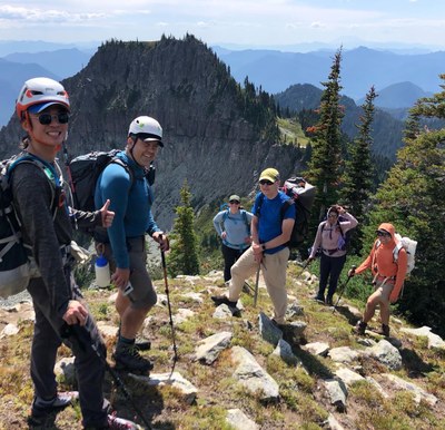
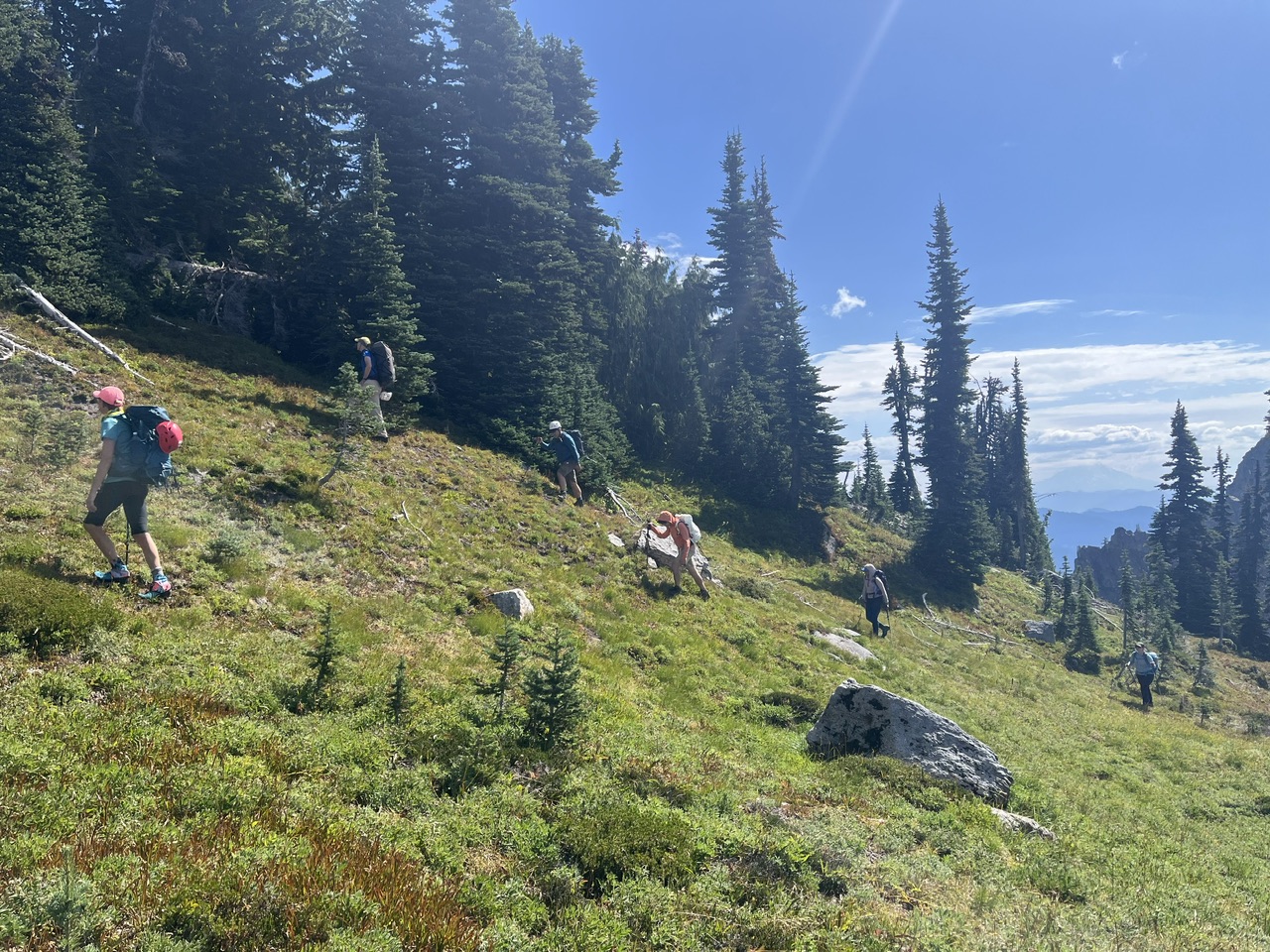
Spectacular views on this gorgeous loop that kept things interesting the entire day (besides giving us a great workout at ~15 miles and ~5000’ gain ;). Our ascent was via Rampart Ridge and the Wonderland Trail (with cross country scrambling right out of the gate), and a return via the Kautz Creek Trail (thereby avoiding a car shuttle). [Lead photo by Nina Crampton]
- Sat, Sep 2, 2023
- Alpine Scramble - Copper Mountain
- Copper Mountain, Iron Mountain & Pyramid Peak
- Scrambling
- Successful
-

- Road suitable for all vehicles
-
Almost perfect conditions on this beautiful loop. Only one person encountered insect stings on the cross country portion of Rampart Ridge (might have been more people had we not emphasized NOT following one another’s paths). Our highest reliable water source was the largest Squaw Lake near Devils Dream Camp (no active stream flow into the lake). Later trips repeating our route might want to fill up at Fishers Hornpipe Creek (whose badly listing bridge will probably not survive this coming winter). The brush continues to get brushier (duh ;) between Indian Henrys and Copper Mountain (for variety, next time I do this loop I’ll probably substitute Mount Ararat for Copper Mountain).
Shortly after leaving the cars (with ~2 hours of cross country travel) we were looking down on Longmire from Rampart Ridge…
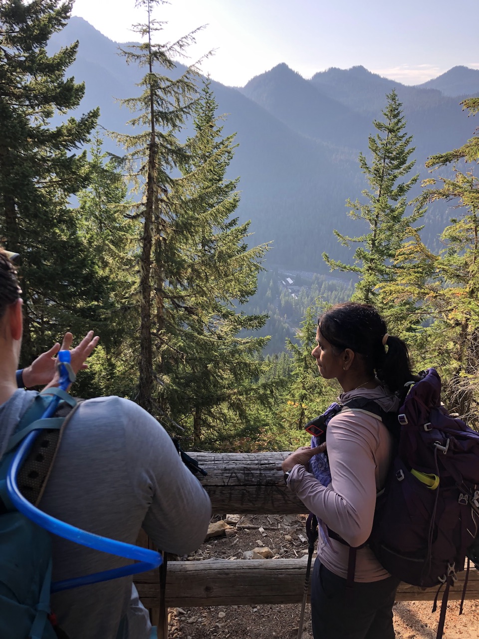 (By Nina Crampton)
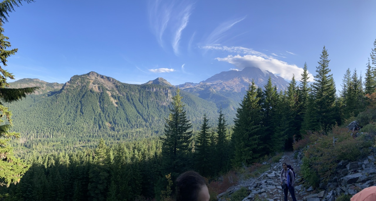
… and soon after, that this breathtaking view of our day’s itinerary
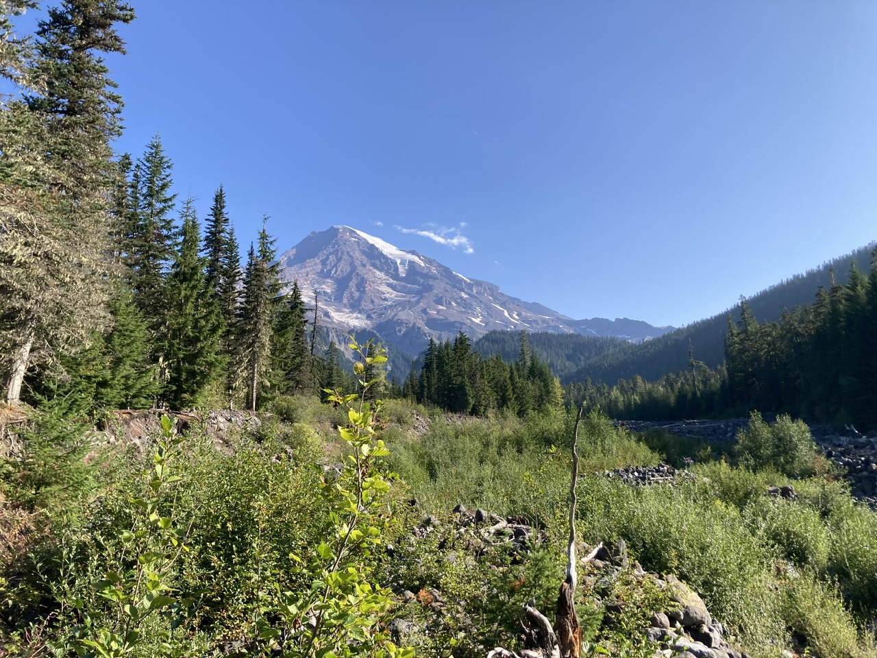
By the time we crossed Kautz Creek, Rainier had lost its cloud cap
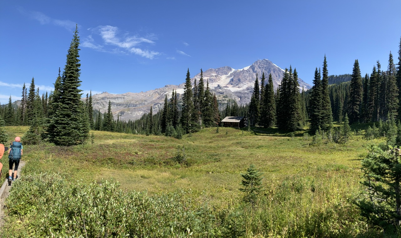
The meadows at Indian Henrys are gorgeous this time of year (Copper Mountain’s western cliffs visible in the upper right of this photo).
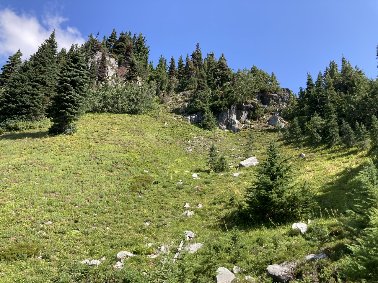
Almost to the constriction leading to Copper Mountain’s upper plateau…
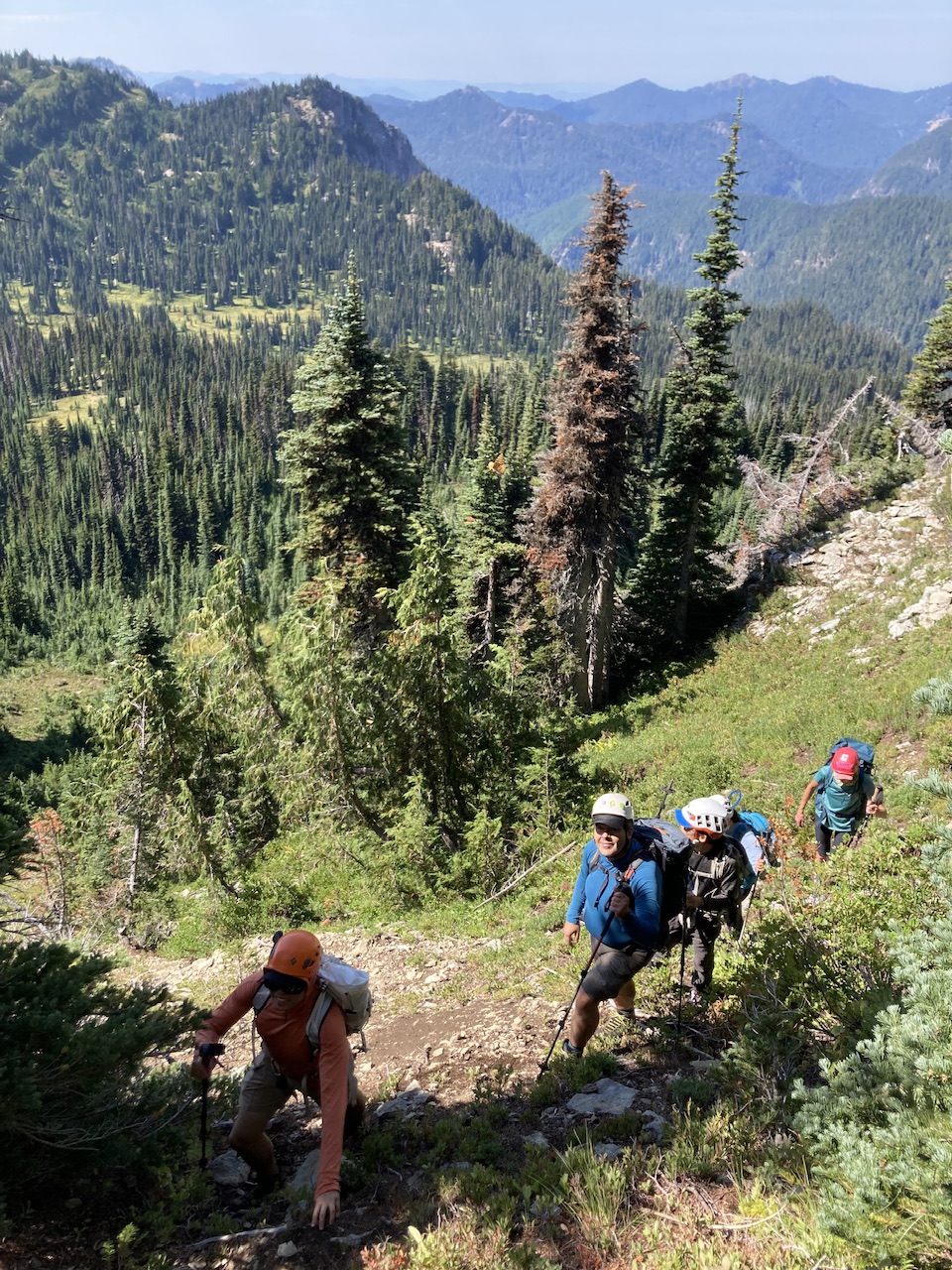
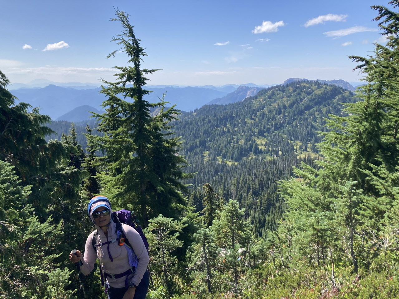
After negotiating the ‘brush crux’…
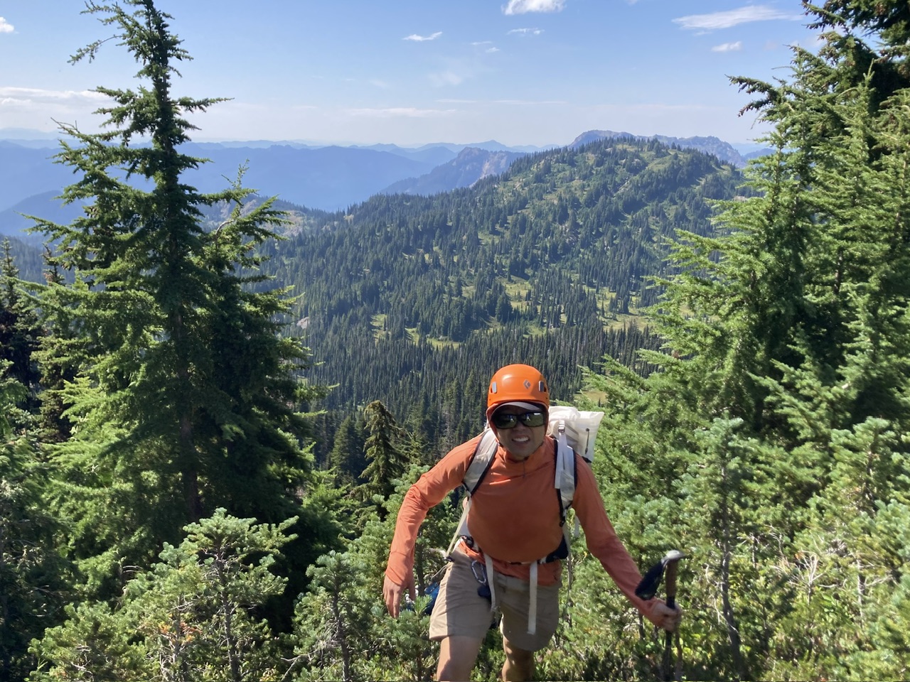
…Copper’s upper plateau…
 (By Yosuke Kanii)
… and finally, the summit ridge of Copper Mountain (Iron Mountain in the background)
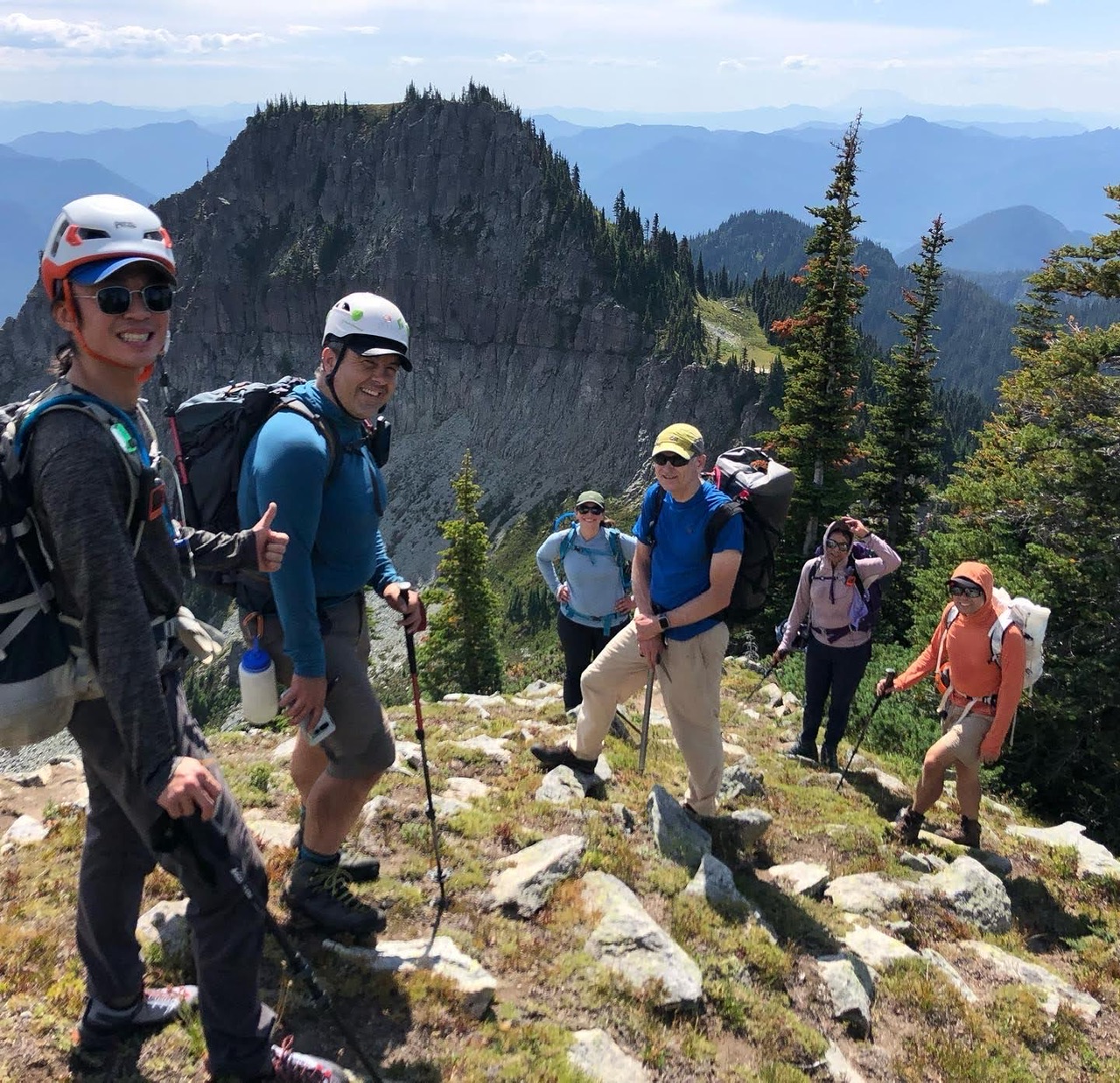 (By Nina Crampton)
Unfortunately afternoon clouds impeded our views of Rainier, yet you can see the accelerating retreat of the South Tahoma Glacier (Pyramid Peak on the lower right).
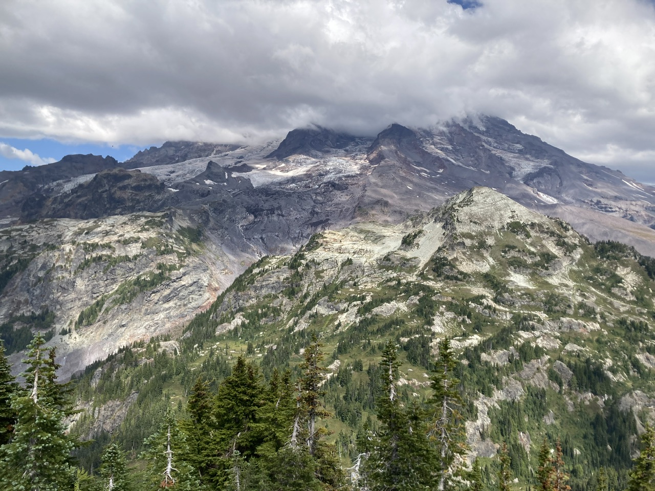
Possibly the motivation for this monitoring station on Copper Mountain’s upper plateau (Andrew, Tokaloo Spire and Tokaloo Rock on the ridge crest in the distance).
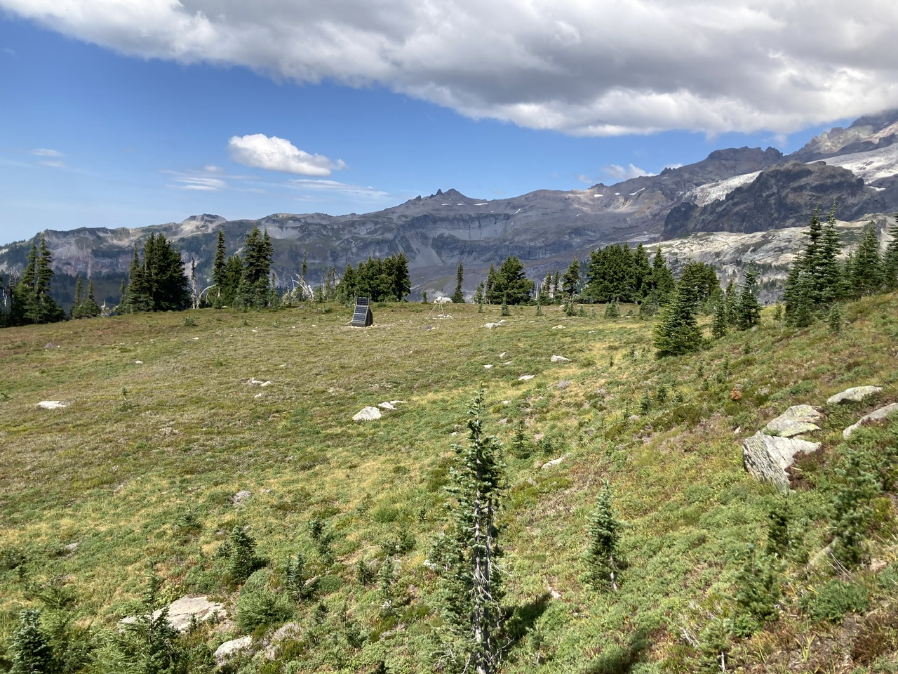
Time to head home via Indian Henrys and the Kautz Creek Trail…
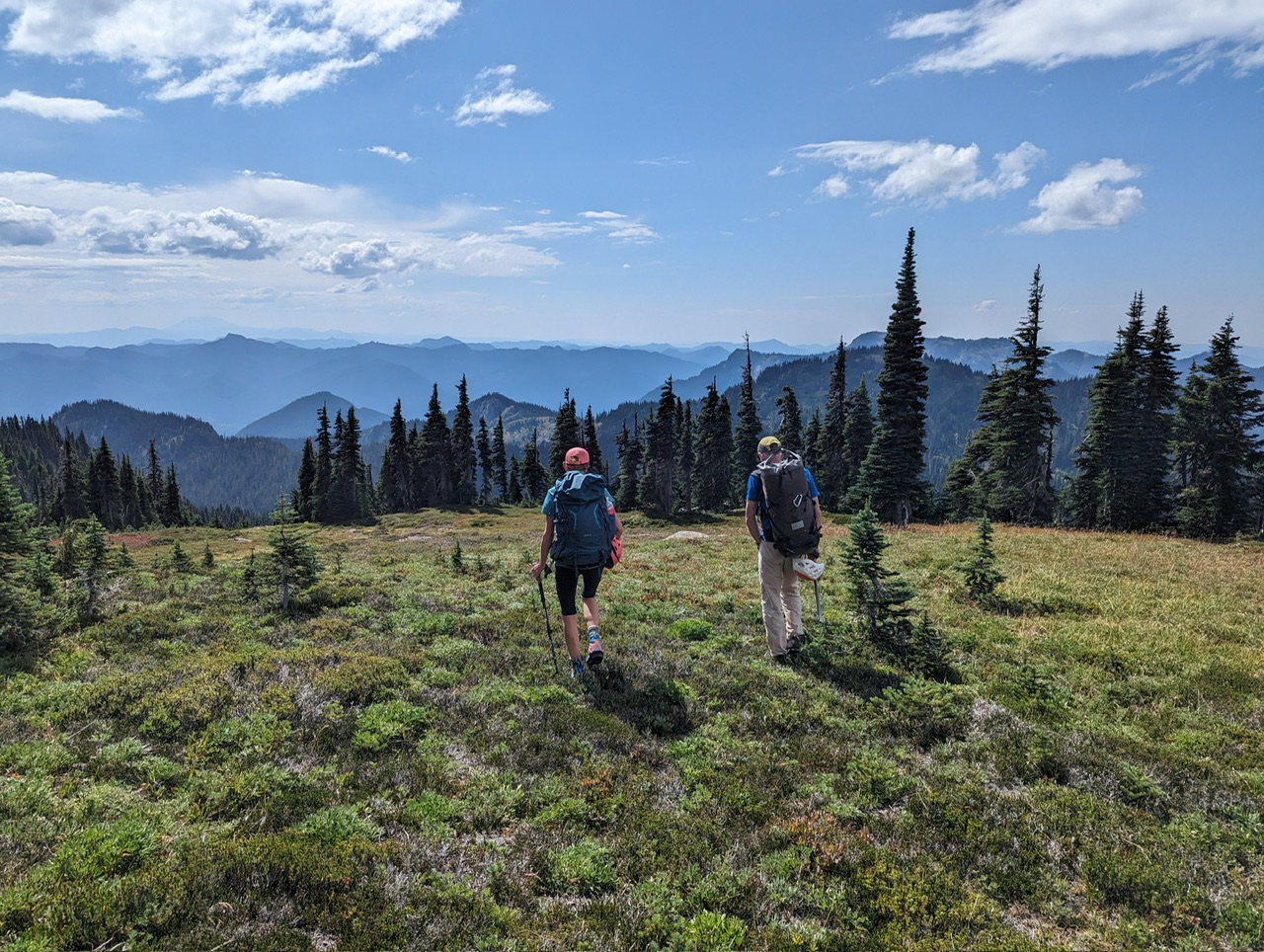 (By Bulent Elmaci)
A beautiful and immersive day in the mountains with a great group of folks. Our total time was just over 11 hours (~7 hours for the ascent, ~4 hours on the descent) for this ~15 mile, ~5000’ elevation gain trip. Photos from this trip (as well others to this venue) can be seen here.
 Dave Morgan