Trip Report
Alpine Scramble - Cowlitz Divide, Point 7416
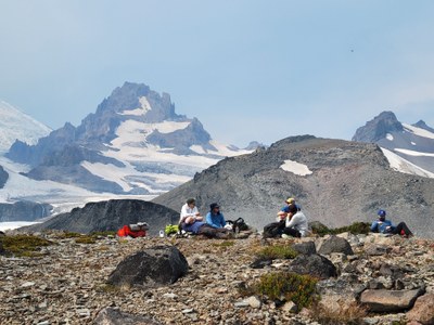
A gorgeous and very strenuous scramble (18 miles, 5500’ gain, yet technically easy), along the Cowlitz Divide to Point 7416. Lots of meadow roaming with much evidence of past glaciers (now gone) as well current ones on their way out. [Lead photo by Leaf Peterson]
- Sat, Sep 7, 2024
- Alpine Scramble - Cowlitz Divide
- Indian Bar-Cowlitz Divide
- Scrambling
- Successful
-

- Road suitable for all vehicles
-
The ‘day before’ Air Quality Index forecast for Sunrise was quite formidable (approaching 160 until 8pm), yet conditions rapidly improved Saturday morning with the forecast showing an improving trend (141@1am, 126@3am, 111@5am).
We started our day at the Box Canyon trailhead with the discovery of closed restrooms and none of the portable kind present. A particularly pressing situation given the 3 hour drive with lots of coffee (yikes !). Hey, we’re trained to deal with difficult situations, and a short time later departed the cars at 7:30am.
Lots of miles to go (with promises to keep), and after 3 hours of hoofing it along the Wonderland Trail we reached an opportune spot (Point 5930) for a break, with great views into Cowlitz Park.
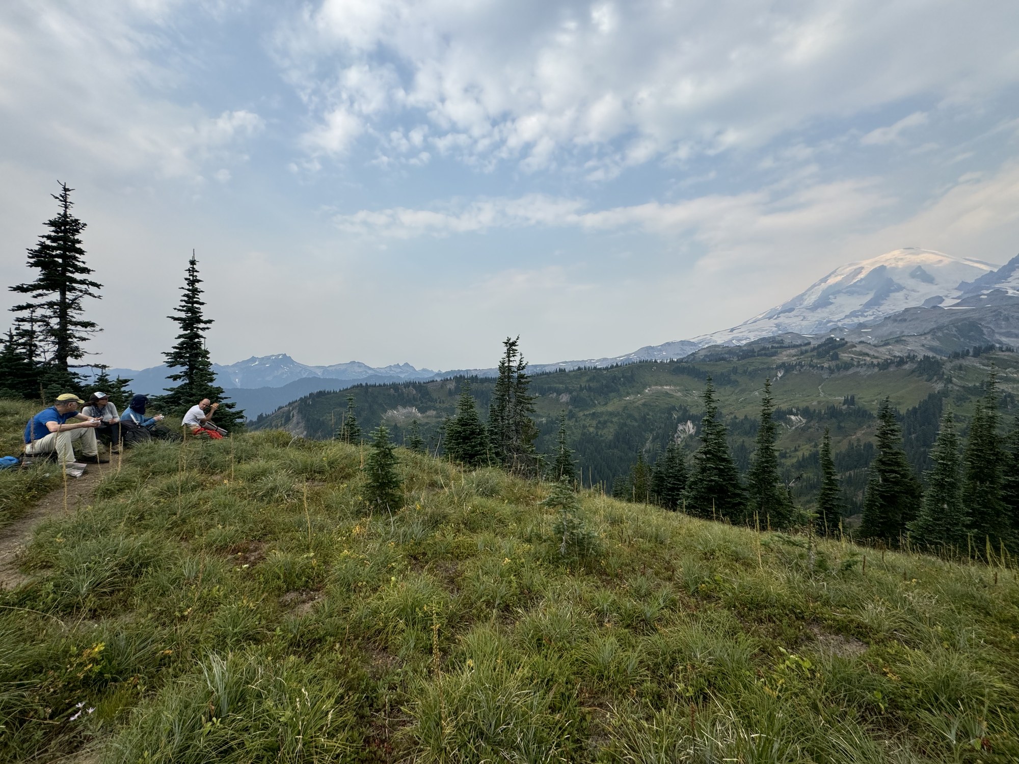
By Jesse Bengtsson
After departing the Wonderland Trail at ~5700’ we used intermittent game trails to stay quite close to the Cowlitz Divide. This beautiful spot at ~6700’ shows our summit (upper right) as well as the waterfall associated with our day’s primary water source (the only other one was a mile from the cars at the Nickel Creek crossing).
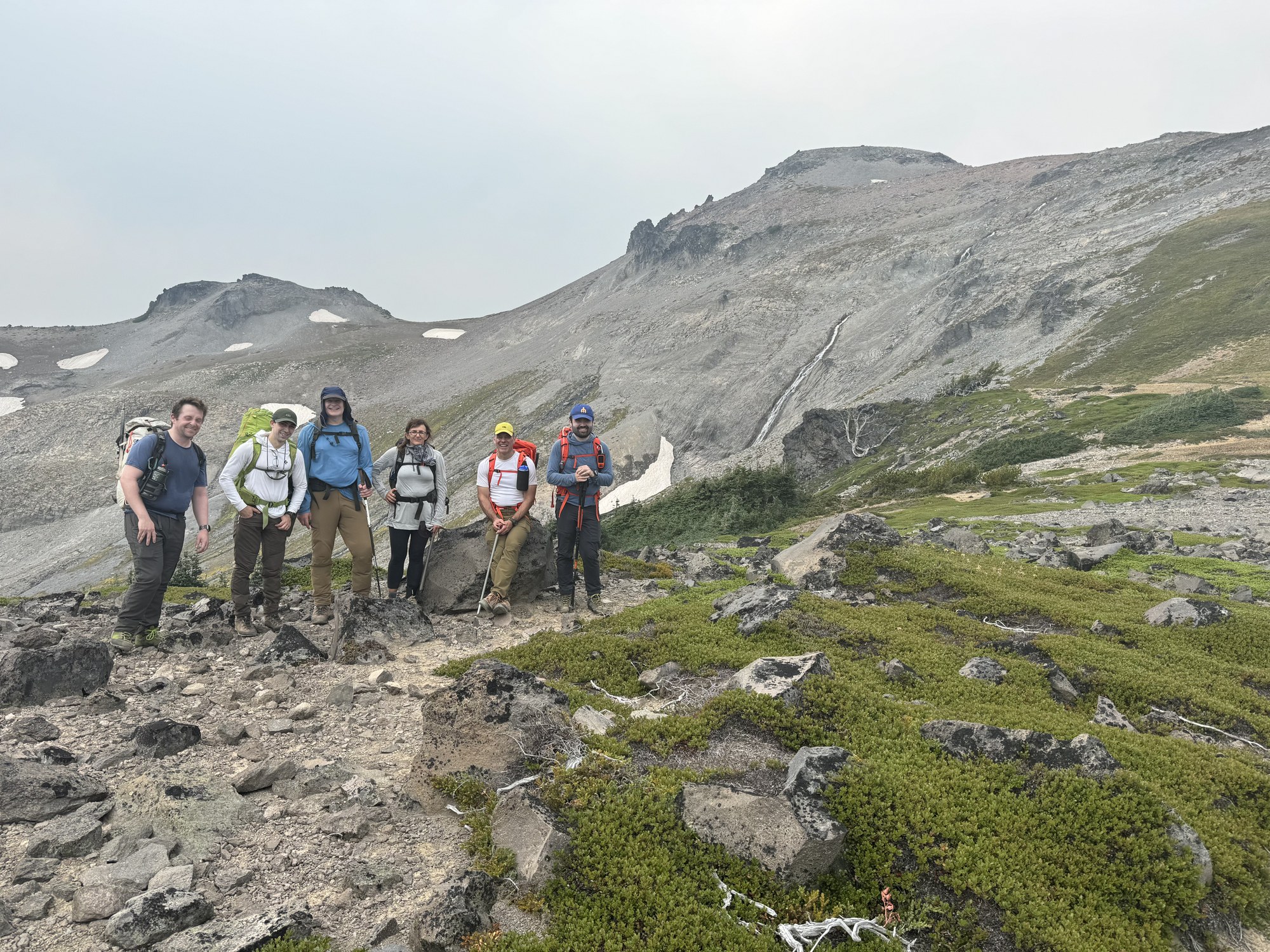
By Dave Morgan
Looking back along the Cowlitz Divide at ~7000’, if you look closely you can see the Wonderland Trail descending into Indian Bar as well as the ‘Last Homely House’ shelter.
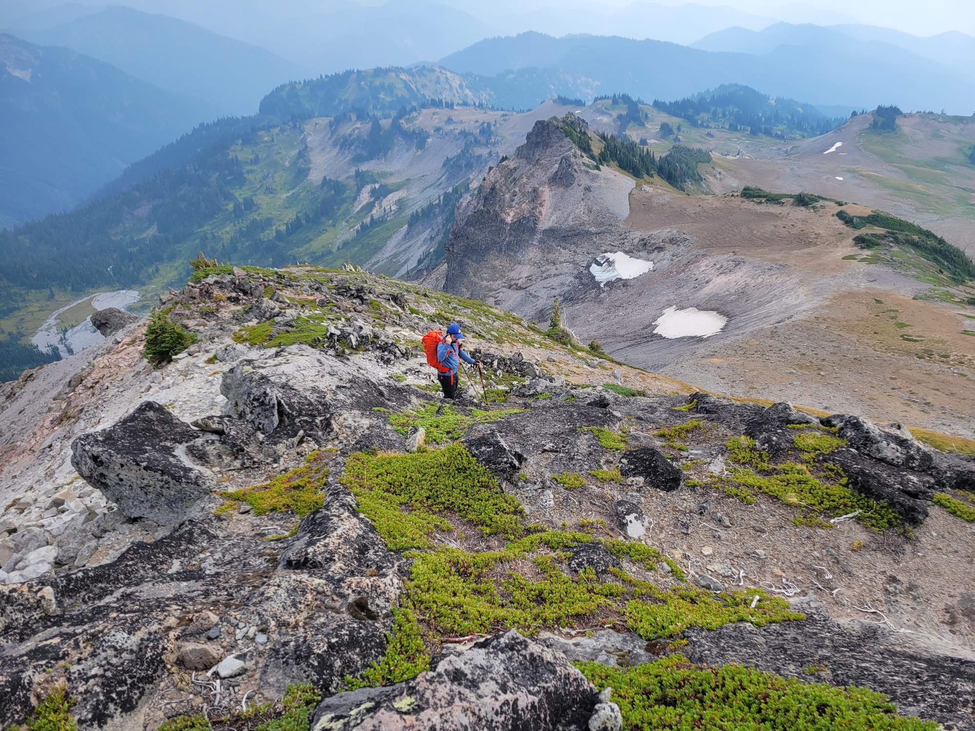
By Leaf Petersen
Some ‘orphaned’ tarns at ~6400’ with their Ohanapecosh Glacier parents going fast…
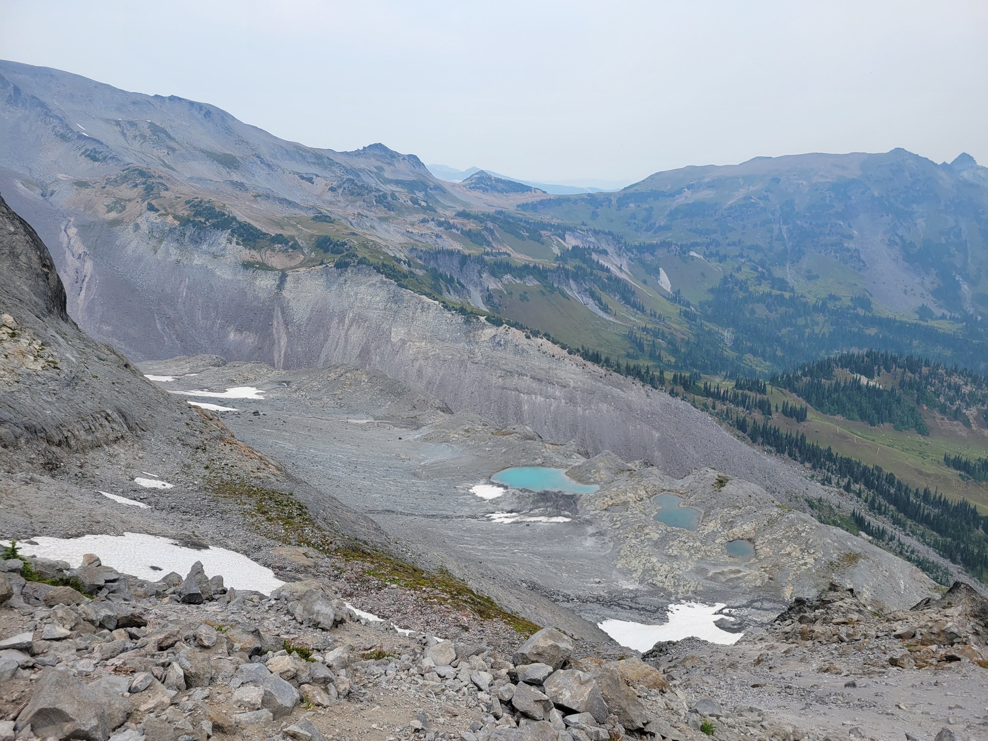
By Leaf Petersen
Our primary water source of the day at ~7200’.
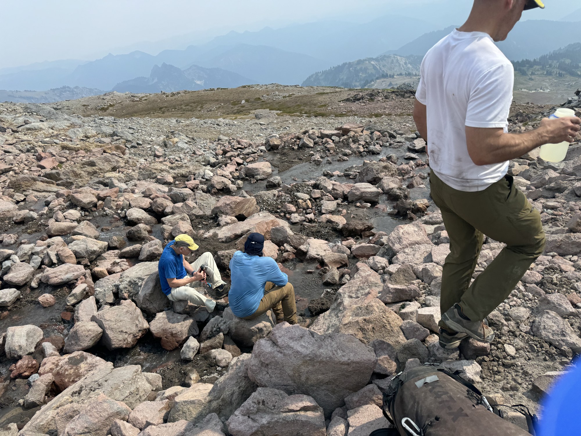
By Jesse Bengtsson
Our ‘summit’ at Point 7416. Although this was our high point for the day, the next ‘summit’ up the valley (directly below the summit of Little Tahoma in this photo) affords a beautiful vantage point of the Whitman Glacier (shown in this photo, taken on July 2016 on a multi-day trip).
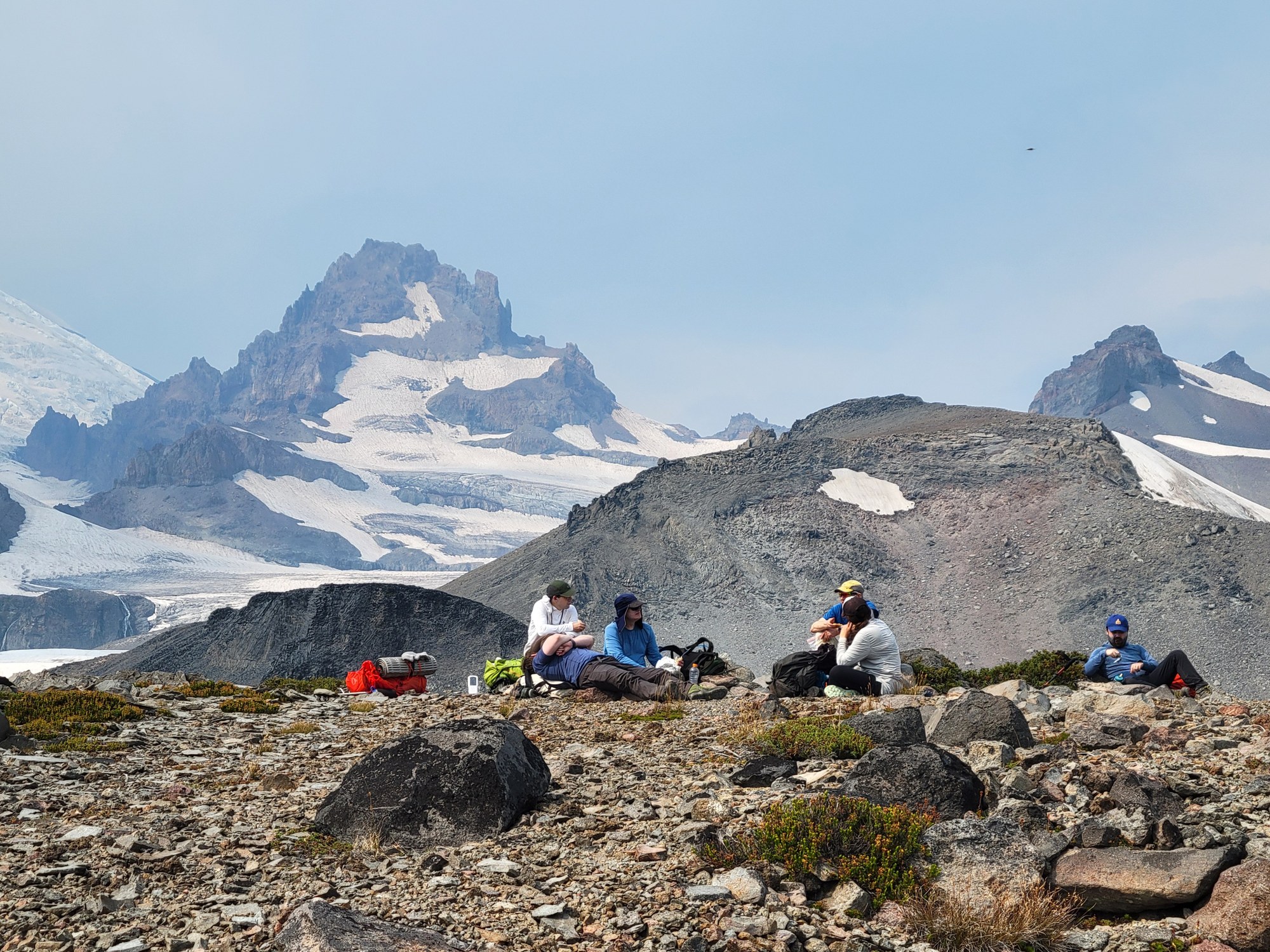
By Leaf Petersen
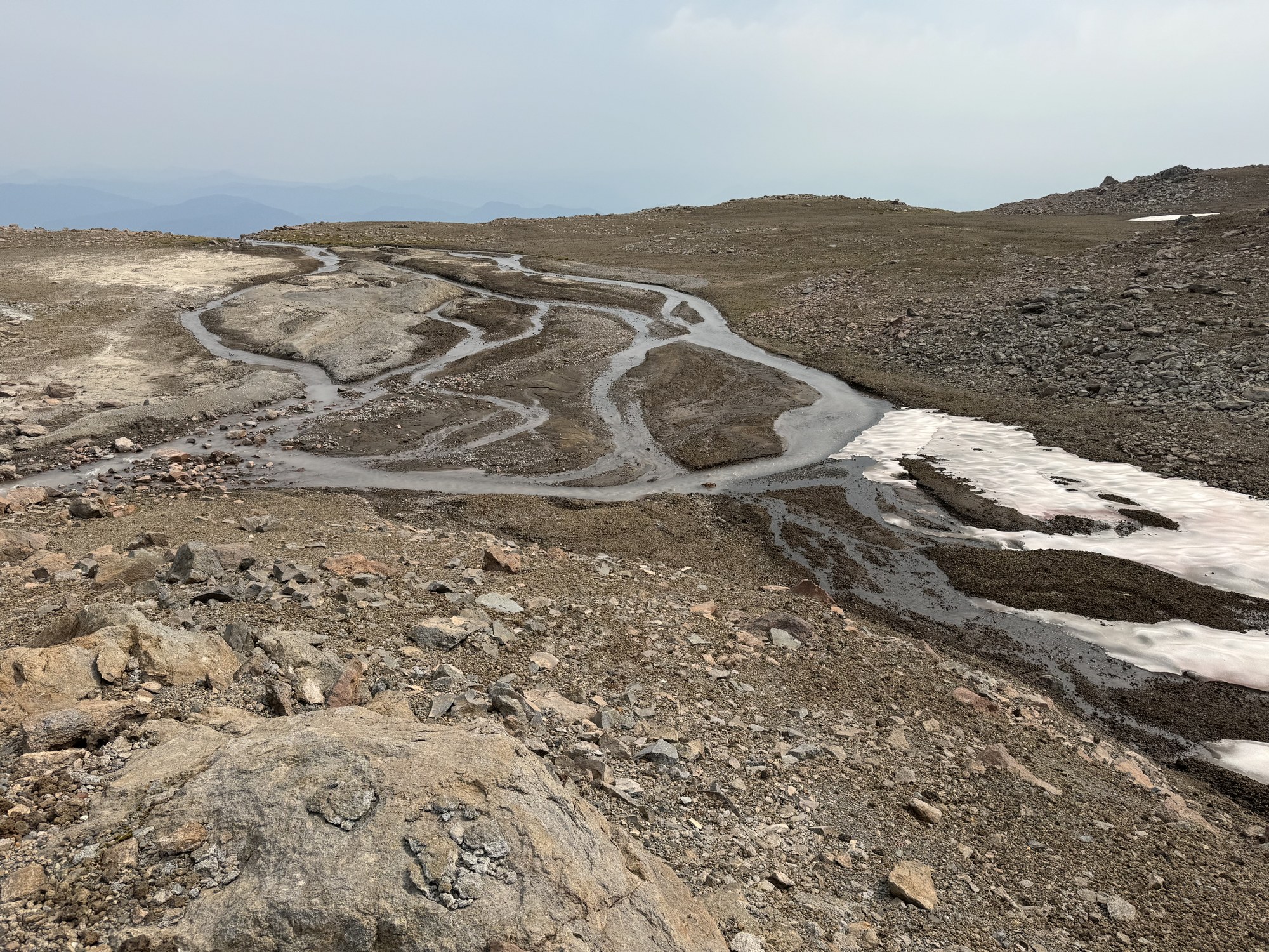
The upper plateau with its rapidly retreating glacier. There are some interesting braiding patterns in the stream draining the snow pack…
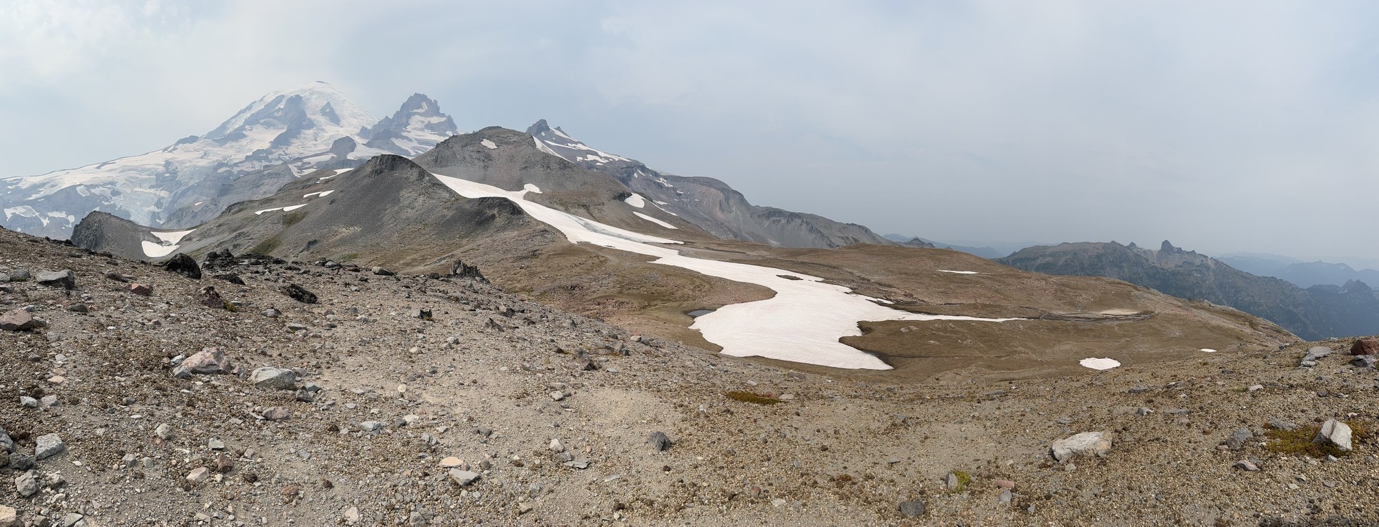
By Dave Morgan
… shown here. Ahead and to the left of the stream is an interesting patch of rock flour…
By Dave Morgan
… shown here. Probably updated on a regular basis each spring, maybe with mechanisms similar to those responsible for the loess deposits of the Palouse farmlands?
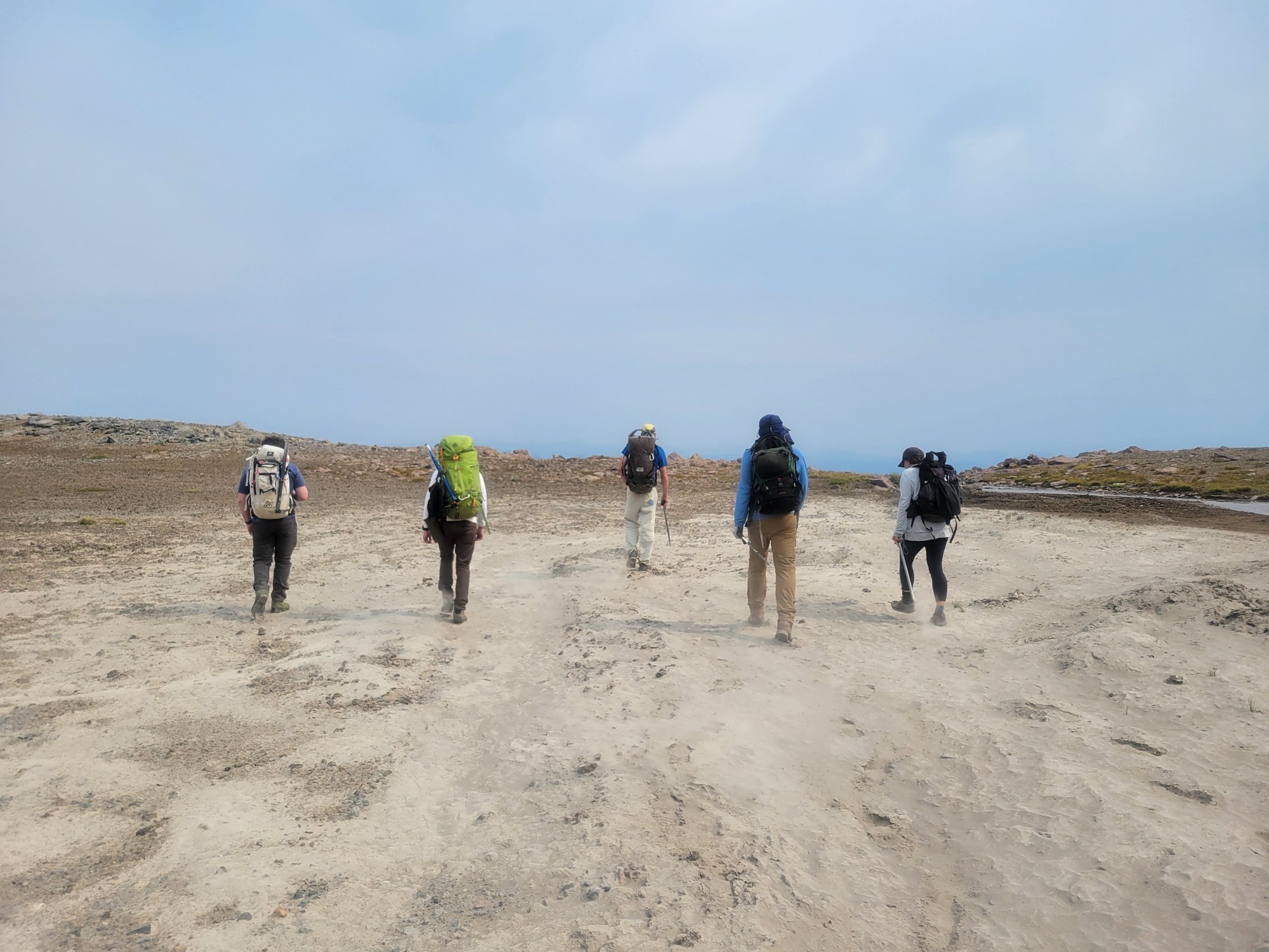
By Leaf Petersen
For some variety our return route dropped into Cowlitz Park…
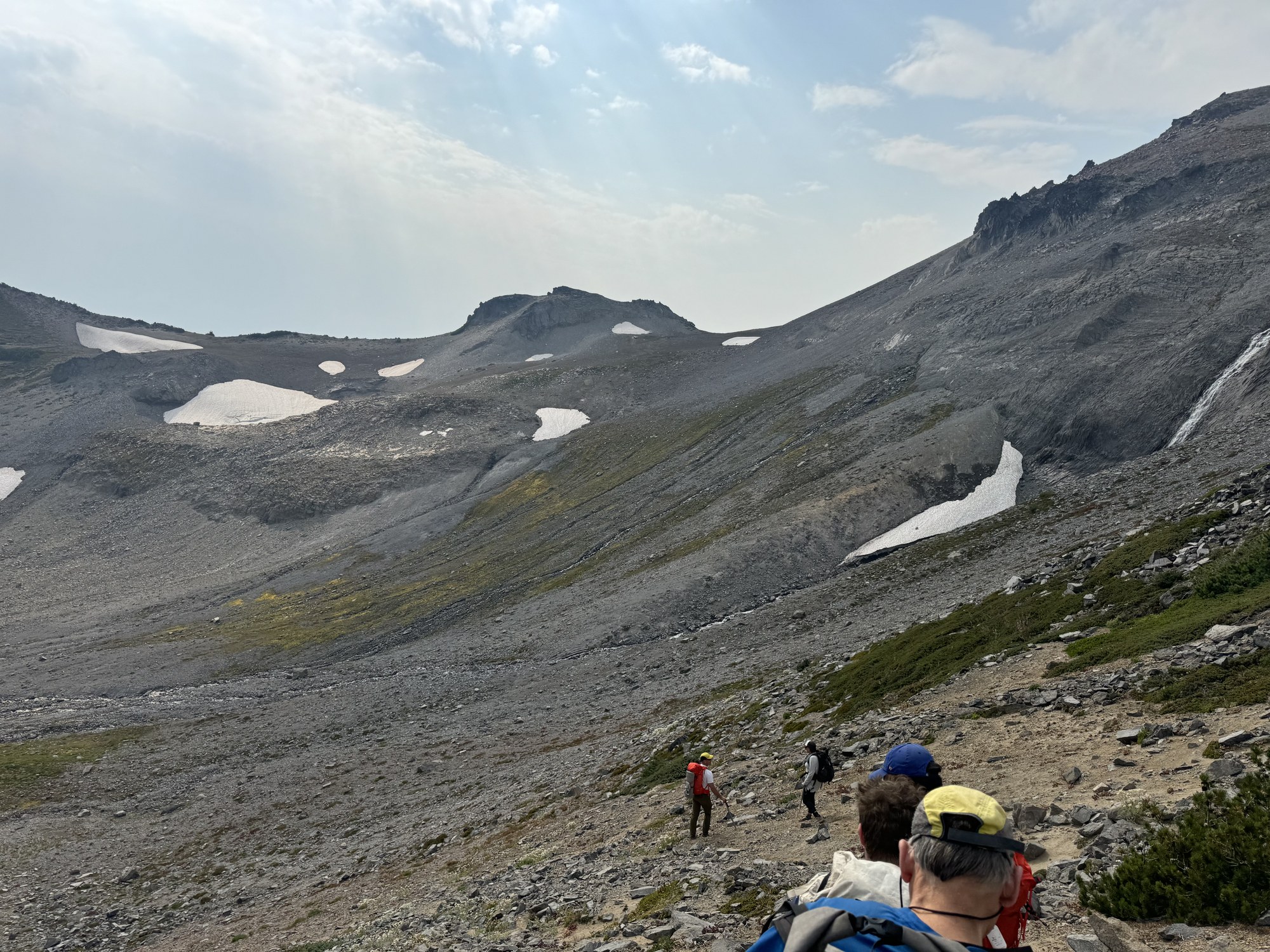
By Jesse Bengtsson
Where we encountered some interesting mounds, somewhat reminiscent of the Mima Mounds.
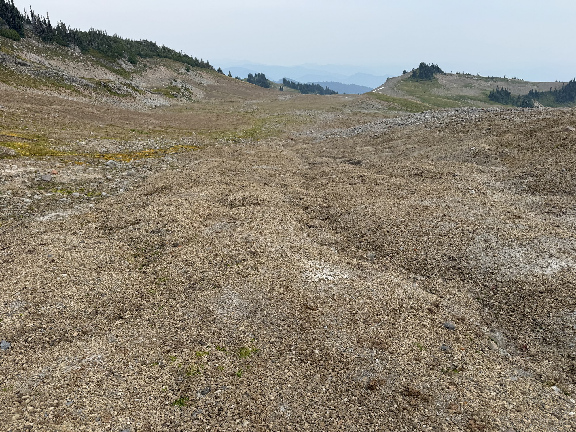
By Dave Morgan
A great day in the mountains to a beautiful area. Our total time was just under 12 hours with 6.5 hours on the ascent, 4.5 hours on the descent, and several lengthy breaks. Photos from this trip as well as others to this venue can be seen here and here.
 Dave Morgan