Trip Report
Alpine Scramble - Cowlitz Gap and Rocks
A nice trip in less than ideal snow conditions to a Rainier 100 peak with outstanding views and lots of solitude.
- Fri, May 10, 2019
- Alpine Scramble - Cowlitz Gap & Rocks (winter)
- Cowlitz Gap & Rocks (winter)
- Scrambling
- Successful
-

- Road suitable for all vehicles
-
The Paradise valley road is now plowed and snow free. It is still closed to traffic at this time. Due to the recent week of extremely warm weather the snow was very soft in places. The streams and rivers are also melting out very rapidly. Extra caution should be applied whenever you hear running water or suspect water under the snow.
Our group started out at just after nine in the morning from the Paradise parking lot. We headed down the still closed but now plowed and snow free Paradise Valley road. It took us around 15 minutes to make it to the 4th Crossing Trailhead. The trailhead is still snow covered and we had to jump up on the bridge railing to gain access to it. As I suspected we found that the week of extremely warm weather had softened up the snow quite a bit. There were firm patches to be found but post holing happened right from the start.
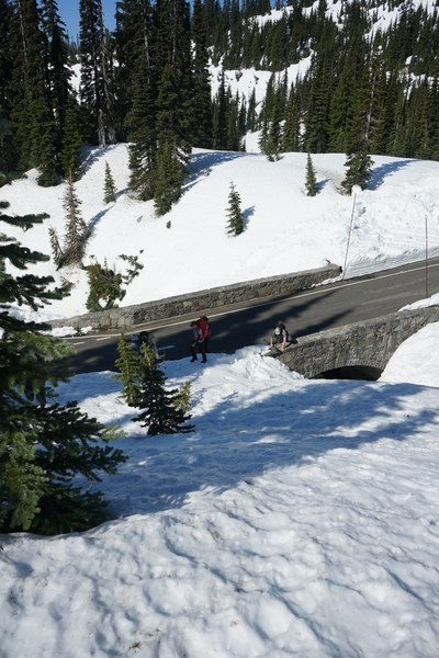
From the traihead we headed Northeast and then East to gain Mazama ridge. Gaining the ridge took our group around an hour from our start in the parking lot. At this point our group took a quick break to fuel up and take care of any needs since we would be moving out of the trees from this point on. We then followed the ridge in a generally North direction till we hit the area that the Stevens Van Trump historical monument is located at. From this point we could see our goal, Cowlitz Rocks.
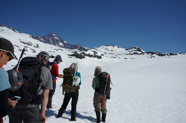 From the historical monument area we headed North towards Stevens Creek. Upon approaching the creek we could hear water running and see an outlet in the snow further up from us. After some probing of the snow and checking the area we decided to cross the creek one at a time. At this time the snow held but this will most likely not be true in the coming days or weeks. A better path to take would be to stay further west and attempt to avoid this creek on the way up if possible.
Stevens Creek, Photo by Carshena Harvin
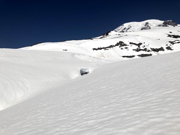
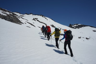
From the creek our group started up the valley leading to Cowlitz rocks. We attempted to gain elevation early and ascended the ridge on the climbers right towards our goal. This was working out very well for our group until we got to the knoll just before Cowlitz rocks. On the map it looked like we could traverse climbers right or possibly ascend over it easily, well this may have been possible the traverse to the climbers right had recent slide activity and the runout looked bad. To go up and over we would have had to negotiate some rock bands that looked doable from a distance but got steeper looking as we got closer. Our group decided to loose a little elevation and do a traverse climbers left around the knoll and above the Stevens Glacier. The traverse had a very nice runout and was great practice for the students in our group. For most of the traverse we had excellent views of the Paradise Glaciers.
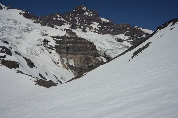
After rounding the knoll we started our final ascent of Cowlitz Rocks. The ascent was going very well until the last 20 feet of snow. At this point the snow had a very firm crust/ice on it. Our group did have Crampons with us but we were not utilizing them due to the softness of the snow on the entire trip up to this point. A few good kicks with our boots and we were able to safely ascend and gain the rocks and our goal.
Upon reaching the summit we were greeted with excellent views of Rainier, Hood, St. Helens, and Adams. The summit was heavily corniced on one side and staying off the snow would be highly advisable. Time to get from parking lot to summit was around four hours and ten minutes.

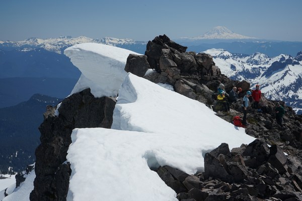
After a quick break at the summit our group proceeded to head down. We attempted a glisade but the soft snow hampered this. On our way back we decided to head to the valley floor and follow it out staying off the ridge that we took in. By this time it appeared their had been recent cornice collapse/avalanche activity on the opposite ridge line so we stayed closer to our ascent ridge and quickly moved through the area spacing our group out wider.
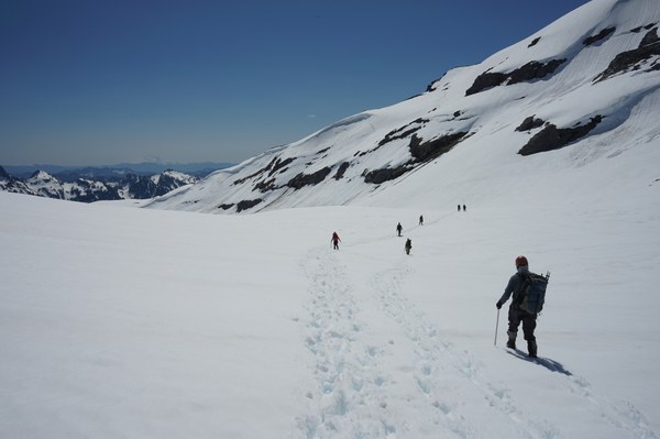
On our way back we followed the valley out to Stevens creek and stayed West(climbers right) of it to avoid having to cross it. We ended up getting a little high on another ridge/knoll on our way back but quickly corrected this and proceeded out on the way we came in. The way out was hampered by spots of very soft snow and lots of post holing.
We reached our vehicles at 5:00 on the dot. We spent just under eight hours on this endeavor. According to my phone tracker(Orux Maps) the trip was 7.25 miles with 2,829 feet of elevation gain. Around half our group was students and they got a great day of practicing route finding, navigation and snow travel techniques.
gpx of our route can be found here:
 Jerrick Linde