Trip Report
Alpine Scramble - Dixon
An fairly easy scramble complicated by a brush bash ending with some nicer views than expected.
- Sat, Aug 28, 2021
- Alpine Scramble - Dixon Mountain
- Dixon Mountain
- Scrambling
- Successful
-

- Road recommended for high clearance only
-
The trail from the Borrow pit is intact and easy to follow at the beginning. It does disappear and you will need to route find in heavy brush to the top. We encountered a ground hornets nest on the decent.
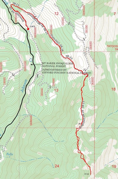
We started off our day by driving up Forest Road 5260. Our original plan was to take 5260 to the intersection with the now decommissioned forest road 405 and park there. On our way up we found FR5260 to be rough but fairly smooth for most of the way. There are a few patches that you will want a high clearance vehicle to crawl through. Upon finding the road passable at our intended parking area we decided to continue on and see how far we could make it up. We finally got stopped after making it just under three quarters of a mile from where we planned on parking. At this point the road was washed out and had a section that we did not have the ground clearance to safely proceed over. Near this area we found two pull outs just large enough to accommodate the two vehicles we had without blocking the road. From here we decided to start our hike by just heading up the road instead of trying to cut through the forest. This added on a bit of mileage but all the participants agreed it was better to take the easy longer road then brush bash.
Road gets bad here, photo by Jennifer Bell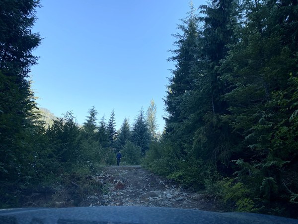
From this point on FR5260 did get heavily rutted. It also had a few other sections that were extremely narrow with large dropoffs that would snare most vehicles if you were not careful. We hiked past 3 higher clearance vehicles that did manage to make it past all this where 5260 actually turned into a nice easily passable road all the way to our take off point at the old Borrow pit.
From the Borrow pit we easily found the trail heading up Dixon. The first three quarters of a mile are very easy to follow with the trail heading through forest before coming out in a meadow. From the meadow we followed the trail climbers left around a high point marked as 4649 on Forest service maps of the area.
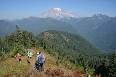
Dixon in Background, just outside meadow.
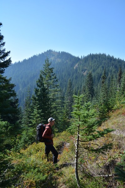
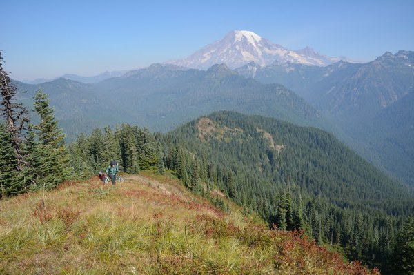
From peak 4649 we headed to a small saddle between this point and Dixon Mountain. Upon reentering the forest the trail we were following disappeared. From this point on the scramble turned into a brush bash. We decided to just follow the NNW ridge of Dixon to the top. We tried taking the path of least resistance whenever possible but we still had to push through heavy brush in some sections(mainly huckleberry). As we neared the top we emerged out into the open and were greeted with wonderful views of Rainier. The final ridge run to the top had somewhat of a trail that you could follow. Near the top there were two short fairly exposed sections. Once at the top we enjoyed views of most of the Tatoosh range, Rainier, and the Sawtooths.
Coming out of the heavy brush, final ridge run up Dixon.
Top of Dixon
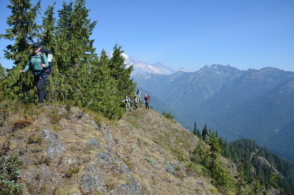
After a quick snack at the top of Dixon we headed back down attempting to find an easier path through the brush. This was working slightly better than the ascent until we brush bashed our way through a ground hornets nest. Three of our party got stung multiple times. After a quick stop to examine the injuries and get some antihistamine in us we continued down to the saddle. Once we arrived back at the saddle we reacquired the "trail" and made good time back to forest road 5260. Once again we decided it would be best to just stay on the road instead of cutting through the forest to return to our vehicles.
Total trip time was right at five hours with a few breaks along the way.
Trip distance around eight miles.
Elevation gain was right around two thousand feet.
 Jerrick Linde