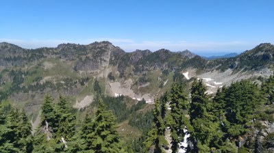
Trip Report
Alpine Scramble - Fay Peak, Hessong Rock & Mount Pleasant
If it weren't for the mosquitoes, it would have been an epic day. Did the ridge run from East Fay to Pleasant for fun
- Sun, Aug 23, 2020
- Alpine Scramble - Fay Peak, Hessong Rock & Mount Pleasant
- Fay Peak, Hessong Rock & Mount Pleasant
- Scrambling
- Successful
-

- Road suitable for all vehicles
-
Crowded parking lot at Mowich at 8am meet time. Road is in mostly good condition... a few potholes are starting to form from recent rain.
Boot path to Fay via the West Ridge was easy to find. Rocks were dry so we could do the ridge run. Pleasant and Hessong had clear boot paths.
Led a group of 6 Mountaineers. Started at Mowich Lake and went up the boot path behind the ranger patrol station towards Knapsack Pass. At 5,420 feet, veered off to a separate boot path that leads up the west ridge of Fay Peak. Scrambled up to Fay Peak easily from the west.
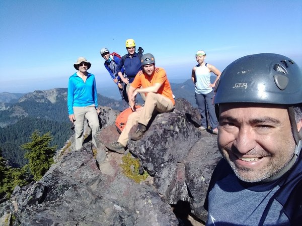
Then we followed the ridge over to East Fay. The original plan was to continue down and then over Knapsack Pass like I had done previously, but with clear weather and a strong team, we decided to run the ridge from East Fay to Pleasant. There are a few spots of exposure, an occasional "veggie belay," and the occasional class 3 move, but honestly, the worst part of the ridge run were the mosquitoes.
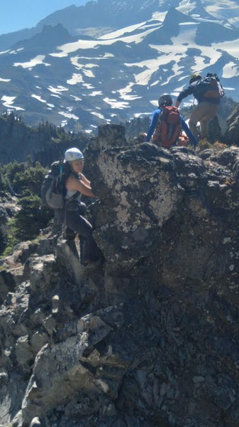
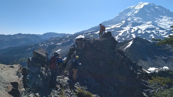
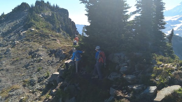
We ascended Pleasant which was unpleasant due to the mosquitoes but the views of Rainier were terrific. From Pleasant, we descended down to the Pleasant/Hessong saddle and then back up to Hessong. There is still a snowfield on the north facing aspect, but it has receded enough that you can either go travel the soft snow or the visible boot path on the way up the summit. Great views at the top. We returned to the Pleasant/Hessong saddle and then down to Spray and out the Spray Park trail.
We saw four mountain goats during the ridge run and a bear below the Hessong pinnacle. Wildflowers are still at peak bloom. The ridge run definitely does not save any time from going over Knapsack, so I would not recommend this specific route, but it was fun to do this route and the entire party agreed that it was Type 1 fun.
Here is the GAIA GPS route: https://www.gaiagps.com/datasummary/track/2fa978848d92967f766166610a90e774fcc98d45/
 Paul Kallmann