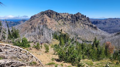
Trip Report
Alpine Scramble - Fifes Ridge
Beautiful views despite some tedious chossy sidehilling.
- Thu, Aug 10, 2023
- Alpine Scramble - Fifes Peak
- Crow Lake Way
- Scrambling
- Successful
-

- Road suitable for all vehicles
-
The Crow Lake TH is right off Hwy 410. NW Forest Pass or equivalent required for parking. Privy available. Tom Girard gave me his track and we followed it pretty closely. This GPX track is on Peakbaggers.
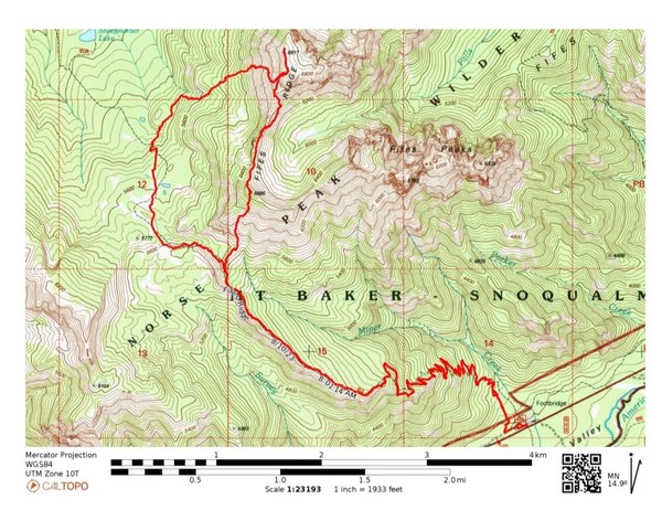
This was a last minute posting to a destination Tom Girard told me about last year. I wouldn't do this scramble when it's very hot as it is almost entirely in the sun due to the 2017 Norse Fire burning all the trees. Our weather forecast said a breezy 61 degrees so it was quite comfortable.
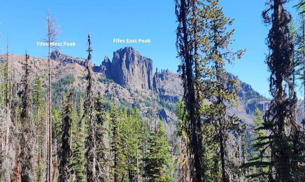
We depart the TH around 8am. The Crow Lake Trail #953 is also a horse trail so it's dusty and parts are pretty sandy due to this and being in a burned area. 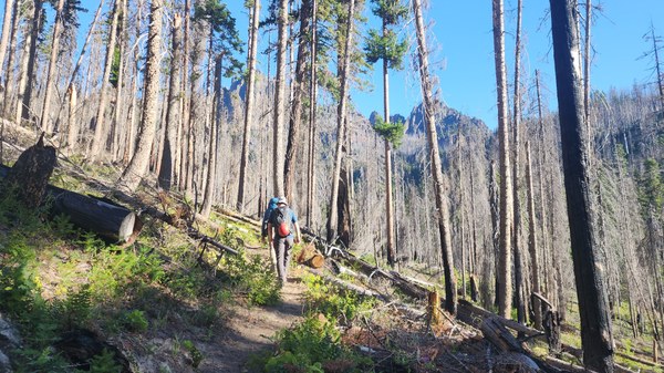 About 2.5miles from the TH, we have a really good view of Fifes West and East Peaks, but our destination, Fifes Ridge is beyond this. I read the West Peak is scramble-able, but the East Peak is a technical climb.
 We leave the trail about 3.83mi from the TH - 5797' and head northerly. Very cool jets fly by several times as we continue on the ridge.
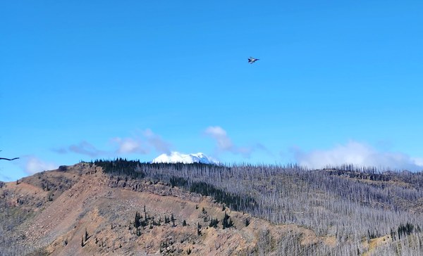 It's an easy hike up the hillside.
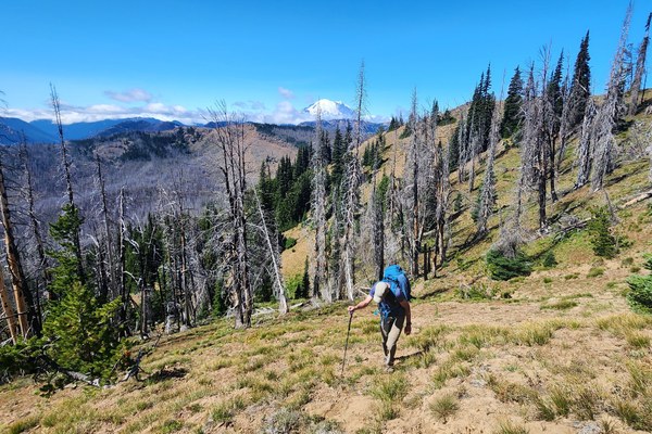 We arrive at Pt 6685' and can now see much more of our route. Taking a long break here.
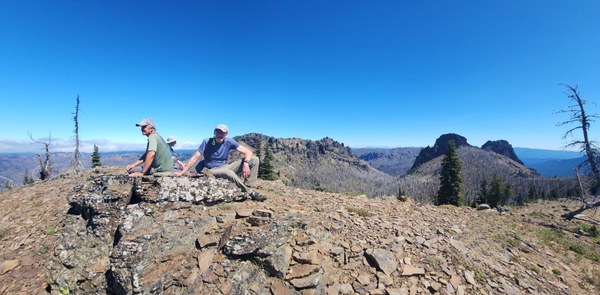
From Pt 6885' our route looked something like this, although we probably didn't drop quite that low.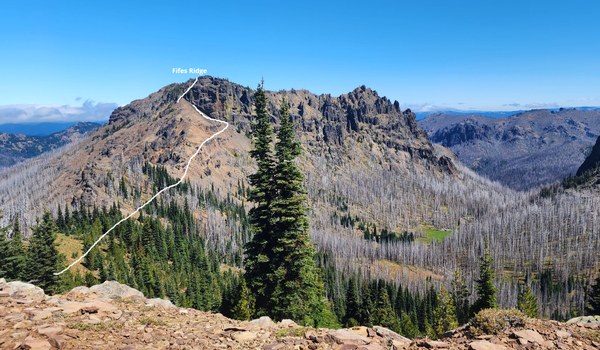 Getting closer.
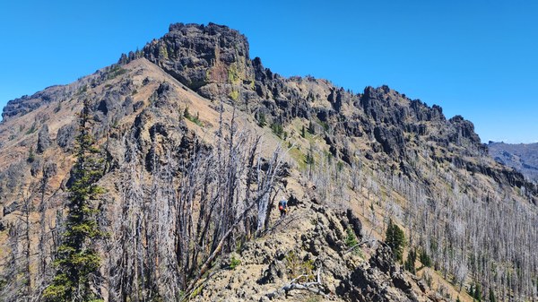 We can't remain on the ridge during the entire traverse so we drop to the east side.
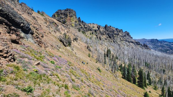 Bypassing a rib.
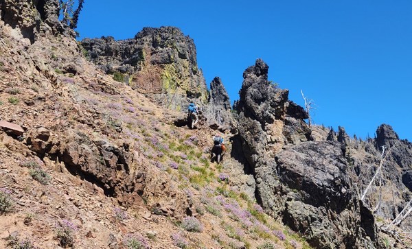 Once you make your way to the notch, it's about 200' elevation gain to the summit.
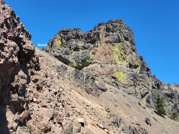
At the notch.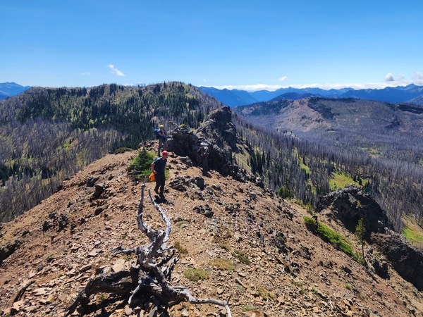
Travel past a few gendarmes and then you're soon there.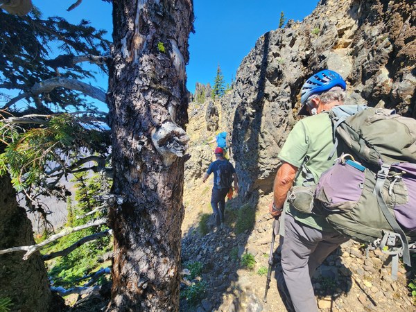
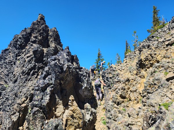
We've walked past the summit to Pt 6917'. Looking back towards Fifes Ridge and the E and W peaks.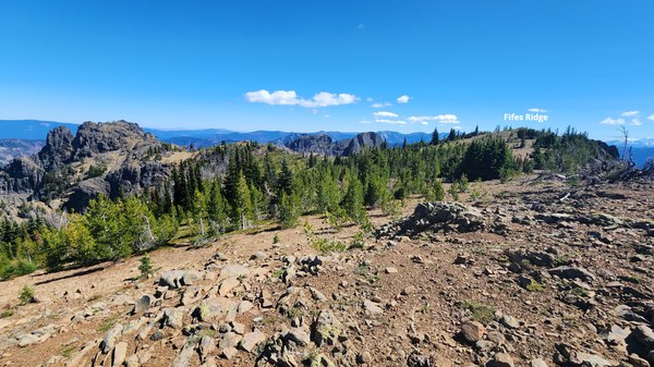 Close up of Fifes Peaks.
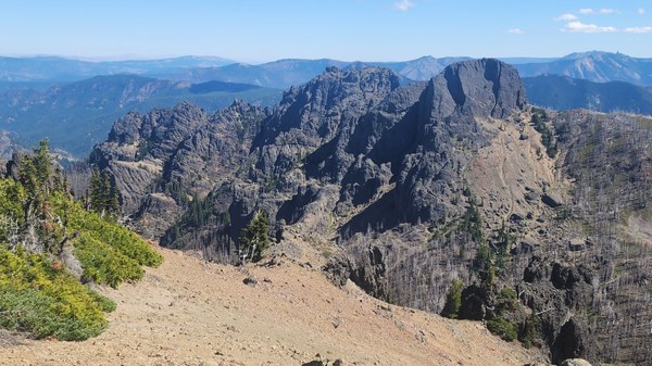
The views are beautiful.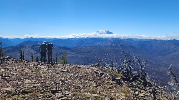
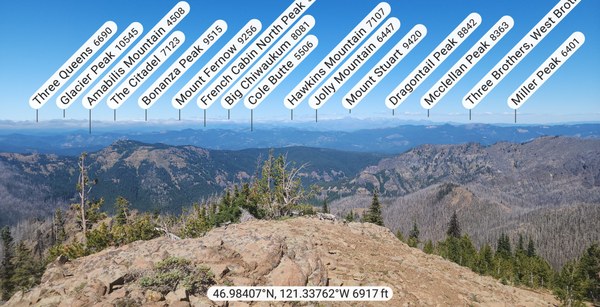 Crow Creek Lakes.
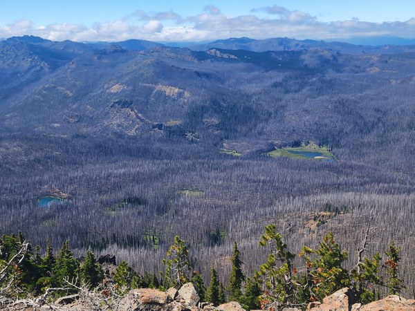
After spending a hour on the summit, we retrace our route for a little while before heading west towards the trail. It's loose going this way as well until we're near 6200'.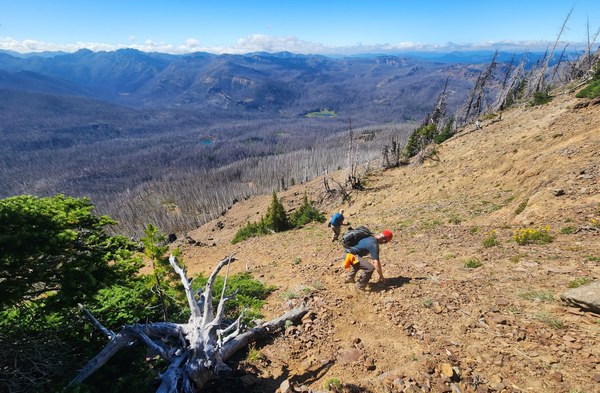 Once back in the burned areas, it's easy terrain back to the trail.
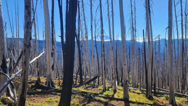 The trail took us through some beautiful meadows we missed going up, but it was also another 500' gain that could have been avoided if we had gone down the same way we went up. As Tom advised, it's 50/50 - pick your poisons
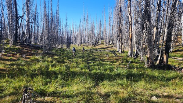 A long, but enjoyable day to an area I've only visited once before. Definitely worth visiting in my opinion. Great group, great day!
 Susan Shih