Trip Report
Alpine Scramble - Gilbert Peak/Klickton Divide
Spring conditions in Summer to climb this Million year old Volcano in the Goat Rocks wilderness
- Sat, Jun 25, 2022 — Sun, Jun 26, 2022
- Alpine Scramble - Gilbert Peak/Klickton Divide
- Gilbert Peak/Klickton Divide
- Scrambling
- Successful
-

- Road suitable for all vehicles
-
Route drive-able with AWD. Last 6 miles to Conrad Meadows - is filled with pot holes. Please be sure to download offline maps before you head to the area. As there is no cell phone reception- for your maps to guide you back
I have been eyeing this peak for a while - considering its remoteness and geological significance in this area and especially this peak.
We found a weather window - 3 leaders and 1 participant signed up for the overnight trip
Starting point : Conrad Meadows Trail Head. Enough Parking for 10 cars + Has maintained toilet
Cars : 2 Cars with AWD
Parking Pass : America the Beautiful pass or equivalent required
Gear: Standard overnight gear, Ice axe, Helmet, Poles and Crampons
Day 1 : We started walking from the Trailhead at 12.40PM.
The view from the parking lot. In the distance you can see big vans and horses. 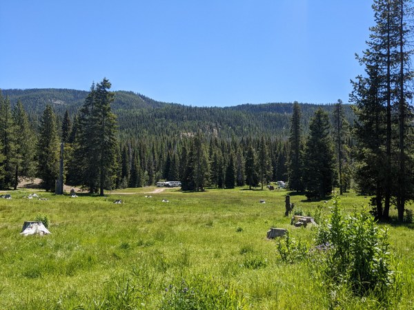
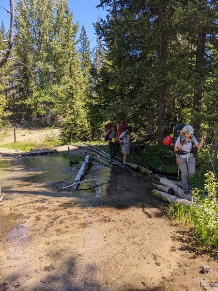
Within a mile from the trail head - you would reach a couple of creek crossings, there are a lot of trails around here - made by horses - keep right to follow the trail
One of the many small creek crossings
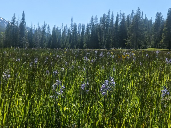
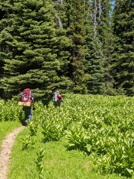
Vast meadows pan for the first two miles of the trail- making you feel in awe
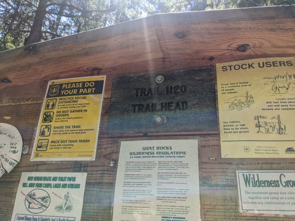
At about 1.7 miles from the trailhead - you would encounter the old Teiton Road- with some houses and if lucky some cars parked there. We wondered who they were and we did not know how they had access - but a sign that you are on the right path. Here - you should get self-issued permits
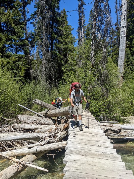
From here - the trail runs though forests till about 2.6miles in, you would encounter the slanted bridge - mentioned in most of the trip reports
Slanting bridge at 2.6miles
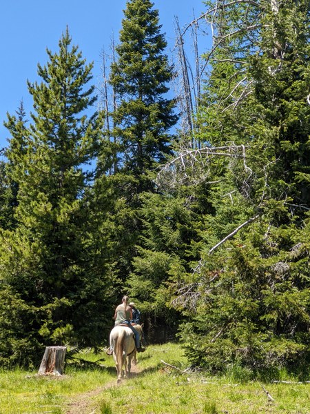
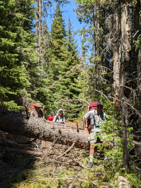
Miles 2.6 to the junction to the Surprise lake is still spewed with a lot of blowdowns - we did notice some folks in horses - with saws , clearing some trail - but with heavy backpacks it was definitely a work out
Lots of horse traffic
Blowdowns between 2.6 miles and 4.3 miles
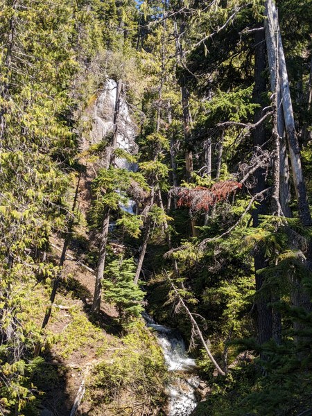
At about 4.1 miles - you would hit a junction- the trail to the climbers left- takes to the surprise lake via some switch backs - gaining about 1000 feet. After a flat ish hike - the switch back was a change . During the switch backs - you would notice a beautiful water fall and the first views of Gilbert peak in the distance
A water fall which we noticed
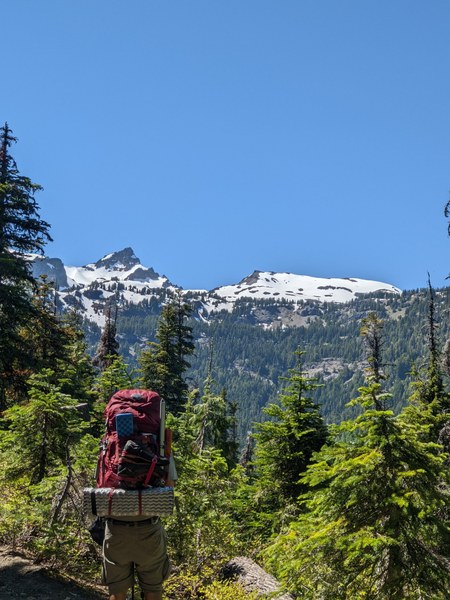
First views of Gilbert peak
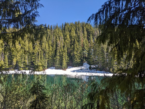
After the switch backs - we had one sketchy water crossing - but if you look hard- you'd find a game trail- which takes to Surprise lake in about 0.7 miles and 500 feet . We encountered a party of 2 who camped at surprise lake. The lake was mostly melted out- but some bugs kept company for them. We stopped to have a break and get some food - before we headed to warm lake. The idea was to camp higher to have a shorter summit day. Since we had a 4 hour drive to go.
Surprise Lake
Note- hike to warm lake - involves another 1000 feet and 2-3 miles of snow traversing at this time of the year
The next section - involves travelling through a section of forest which looked like it was destroyed by avalanches. From here there are two options - in good snow coverage year - one could go straight up - taking a bearing to Warm lake. When melted out- there is a trail- which zig zags though the forest - taking the north eastern flank of the ridge to Warm lake .
Avalanche and wind destruction area
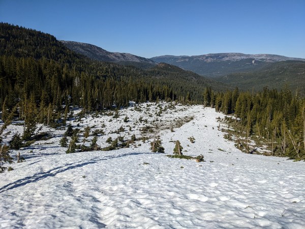
Climbers navigating through the forests
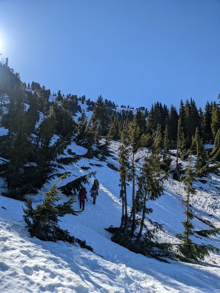
After this section - we took a straight approach to the lake - with heavy backpacks - the 30 degree slopes were a challenge - but good snow made for ideal kicking steps
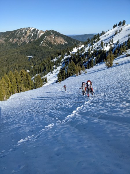
We reached Warm lake around 5.50-6.00 PM - a little longer than initially planned. We had initially planned for camping in snow - as satellite images showed the area was still covered in snow. However to our luck - the camping areas were free of snow and we even had a small patch of thawed lake - which allowed us to access water - without melting snow. Warm lake is at 6300 feet. First day marked 9 miles and 2600 feet of gain
Camp spot and thawed warm lake
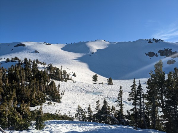
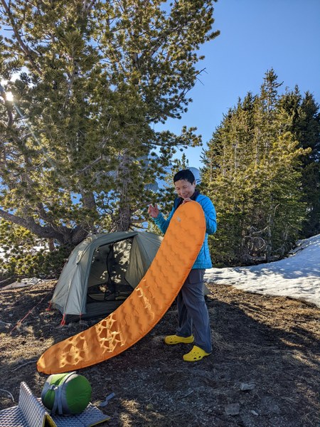
We made some dinner and went to bed at around 9.30 PM- with a plan to start at 4.30 AM next day - to avoid the heat on the way down
Day 2: 13.2 miles and 2400 feet gain and 5000 feet loss. Start at 4.30 AM from warm lake
We started with ice axe, crampons and helmets as the snow had frozen overnight- despite overnight temperatures hovering in the upper 40's
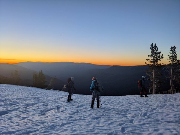
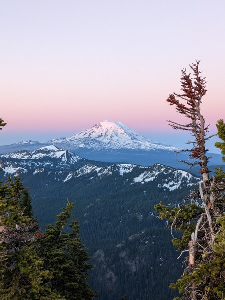
We gained the ridge - 400 feet from camp - and we were greeted with first of the many amazing views of Adams and St Helens

Once on the ridge - at this time of the year - the challenge was avoiding cornices and narrow ridges- at some parts we had to drop to the climbers left into the trees and follow a game trail - especially at 6800- 7000 feet elevation. Look for a monkey face rock- while there - you'd want to be in the trees to avoid sketchy snow or rock scrambling on the ridge
In this picture - the first band of rocks after the snow - is where dropped to the left into the trees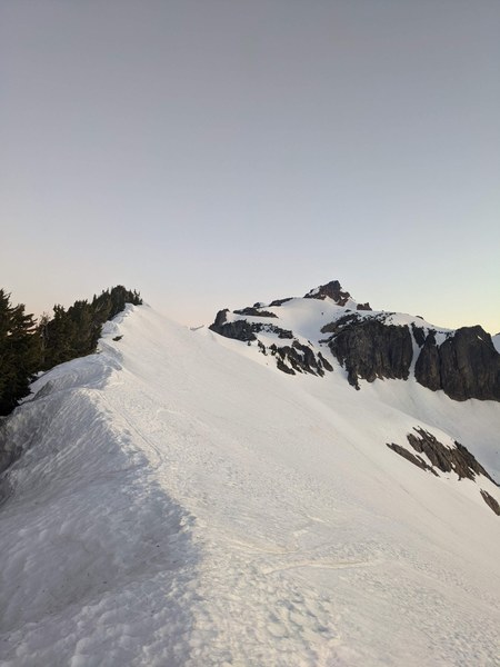
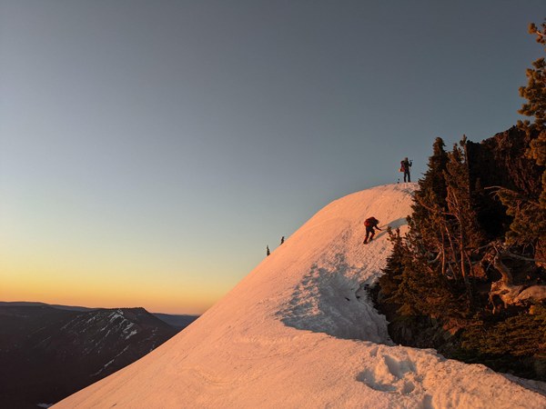
Climbers downclimbing some of the snow formation along the ridge - in summer there is a game trail along the ridge
Inside the trees- we had some patches of snow and lose rock to navigate - but we still stayed in crampons for most of it
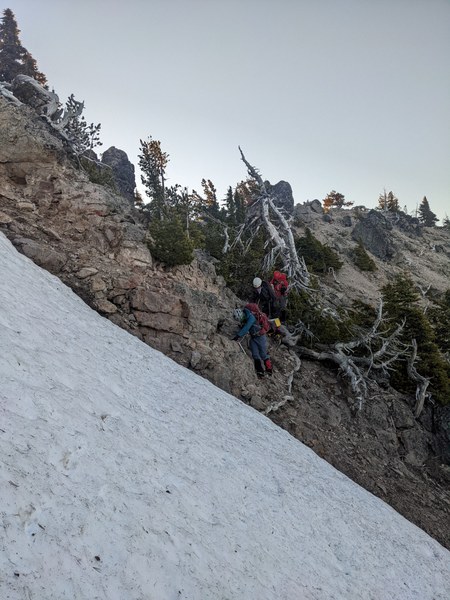
Once past this - we gain the ridge back to the summit - a flat section with amazing 360' views arises- which leads to the base of the summit ridge
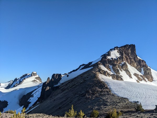
While it is very tempting to take the rock face straight up - you would run the danger of running into cliffs along the way- unless you want some more spice on some loose rock. We traversed to the other end of the ridge - to find a suitable place to transfer to rock.
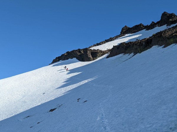
The rock was lose at some parts - but grippy and solid in the exposed sections
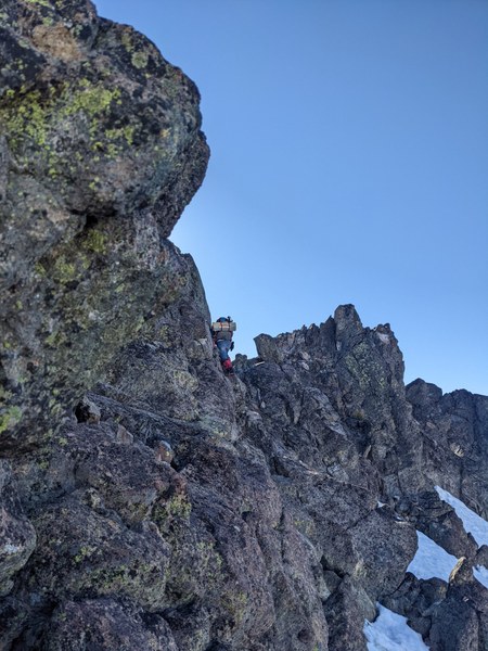
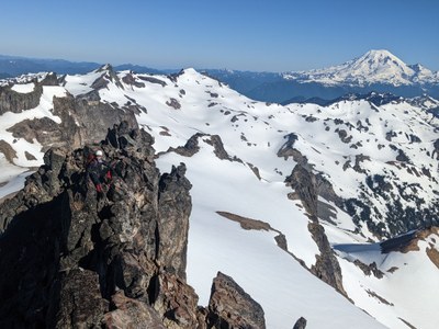
Some ledges of Class 2 - takes you to the main summit - its the middle one - which has the summit register. Climbers at the summit
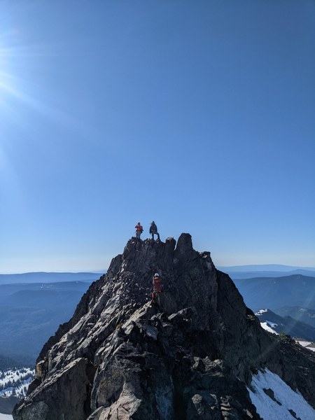
From here - we had breath taking views of Rainier - Adams and St Helens . Summit at 8.15 AM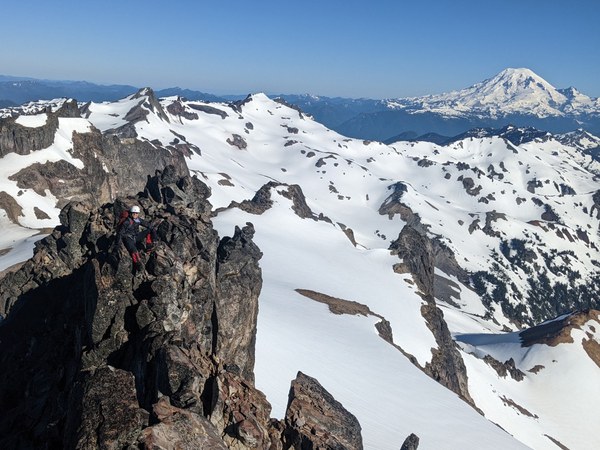
We carefully downclimbed from the summit and got back to solid ground at 9.15 AM after a good break at the summit.
During the descent - we milked atleast 400- 500 feet of glissading right before and right after camp
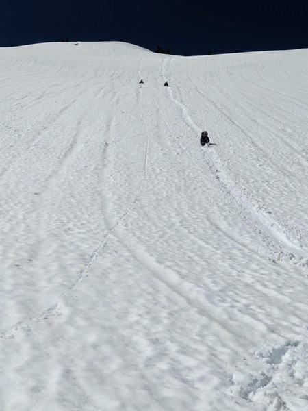
We reached camp at 10.30 AM - Packed and left camp at 11.15AM. The heat was starting to get to us- we still had to walk 9 miles to the cars. 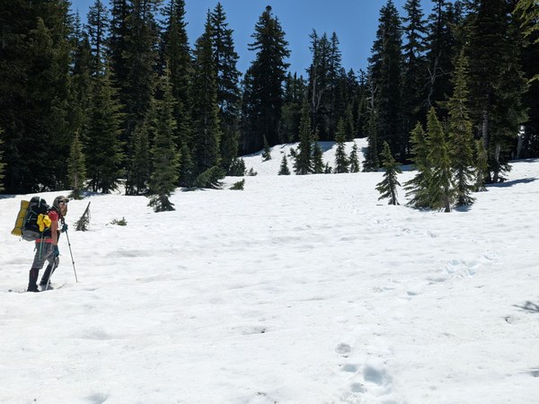
MAde it back to the cars by 3.30 PM. When the temperatures were around 95F. Lucky for us- we didnt have a ton of traffic on the way back. Else it would be a very very tiring drive back.
 Ananth Maniam (ஆனந்த் மணியம்)