Trip Report
Alpine Scramble - Gobblers Knob+
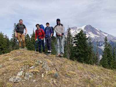
An unexpected consolation prize! Success on a new scramble route to Gobblers Knob (after an unsuccessful exploratory attempt of Mount Wow’s NW spur).
- Sat, Sep 17, 2022
- Alpine Scramble - Gobblers Knob
- Gobblers Knob
- Scrambling
- Successful
-

- Road suitable for all vehicles
-
Zero snow, high overcast, cool temps, weak sun, plus stinging insects at a few dry/west facing spots.
After a failed attempt of ascending the NW spur of Mount Wow (details below), our enterprising party came up with an alternate (and ultimately successful !) exploratory scramble of the ridge connecting this spur with the Goat Lake - Gobblers Knob trail (this trail was hiked to complete the ascent of Gobblers Knob, with descent via trail and road).
After hiking to Lake George (from the end of the drivable West Side Road)…
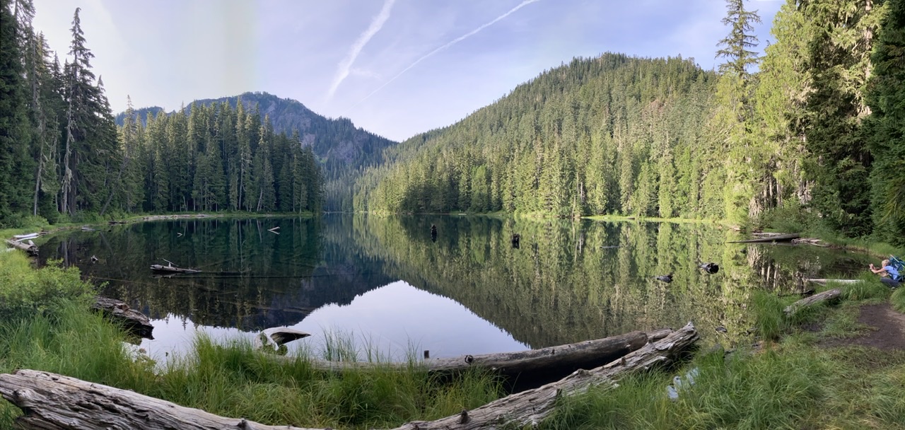
…we closely followed Lake George’s western shoreline to its SW corner (using remnants of the trail shown on the 1971 USGS Mount Wow Map):
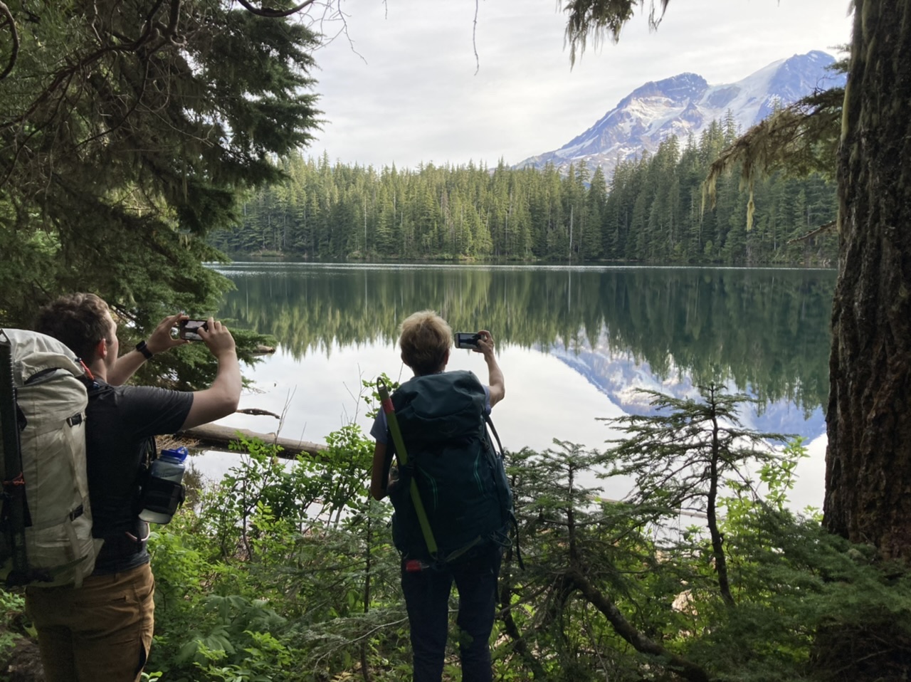
From there we headed in a SSW direction through mature forest/tolerable brush towards a steep talus slope…
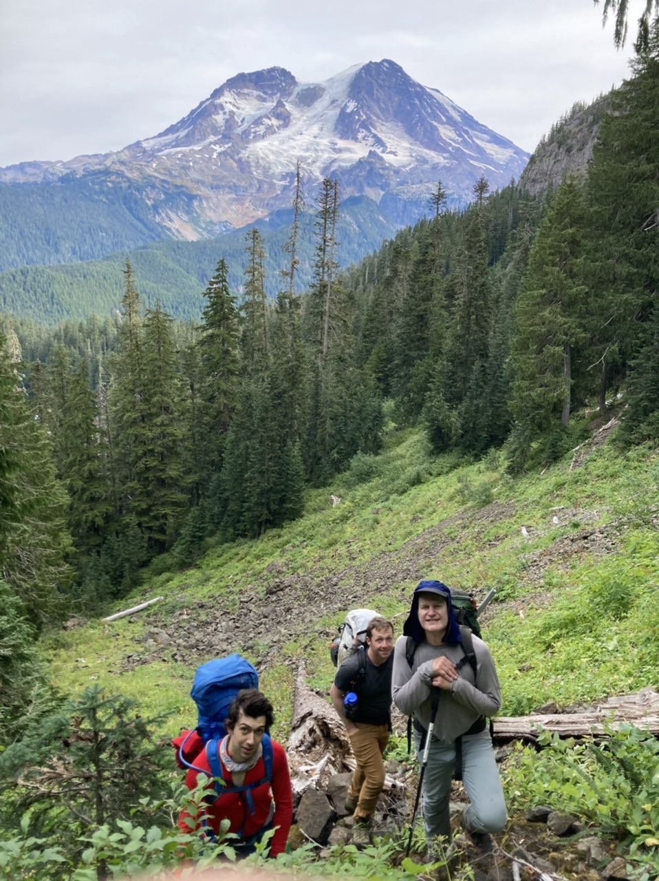
…that ultimately gave us views of Lake George…
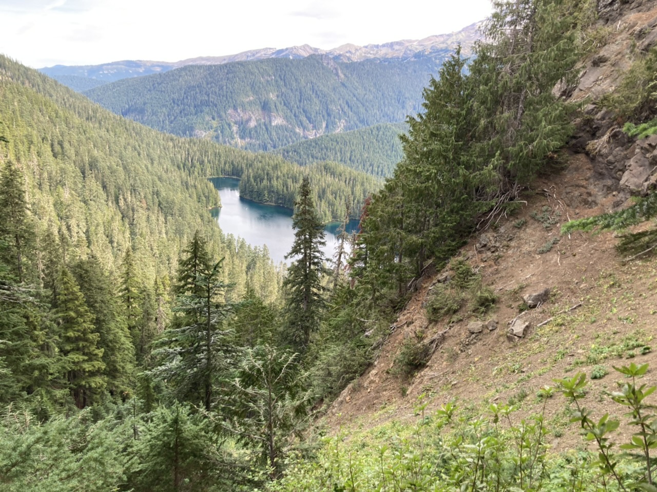
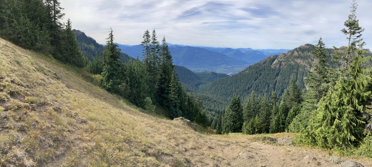
… as well as affording access to the ~5000’ col with nearby views to the SW:
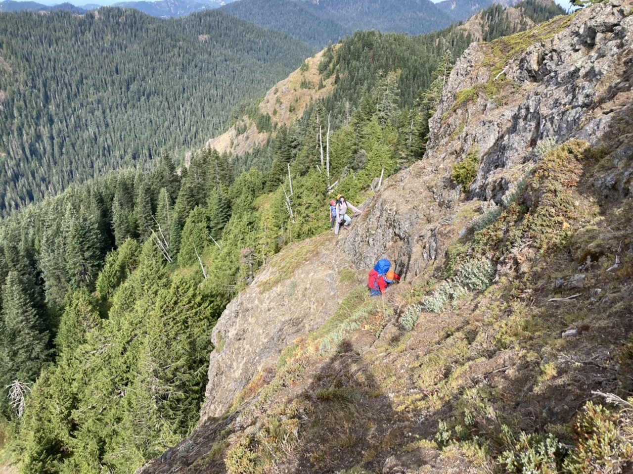
We continued up Mount Wow’s NW spur (mostly on its west side) only to discover poor rock quality, down sloping moss covered tread, and exposed terrain best suited for mountain goats:
Shortly after this point conditions strongly suggested a turn around, with the terrain above ~5600’ shown in this photo:
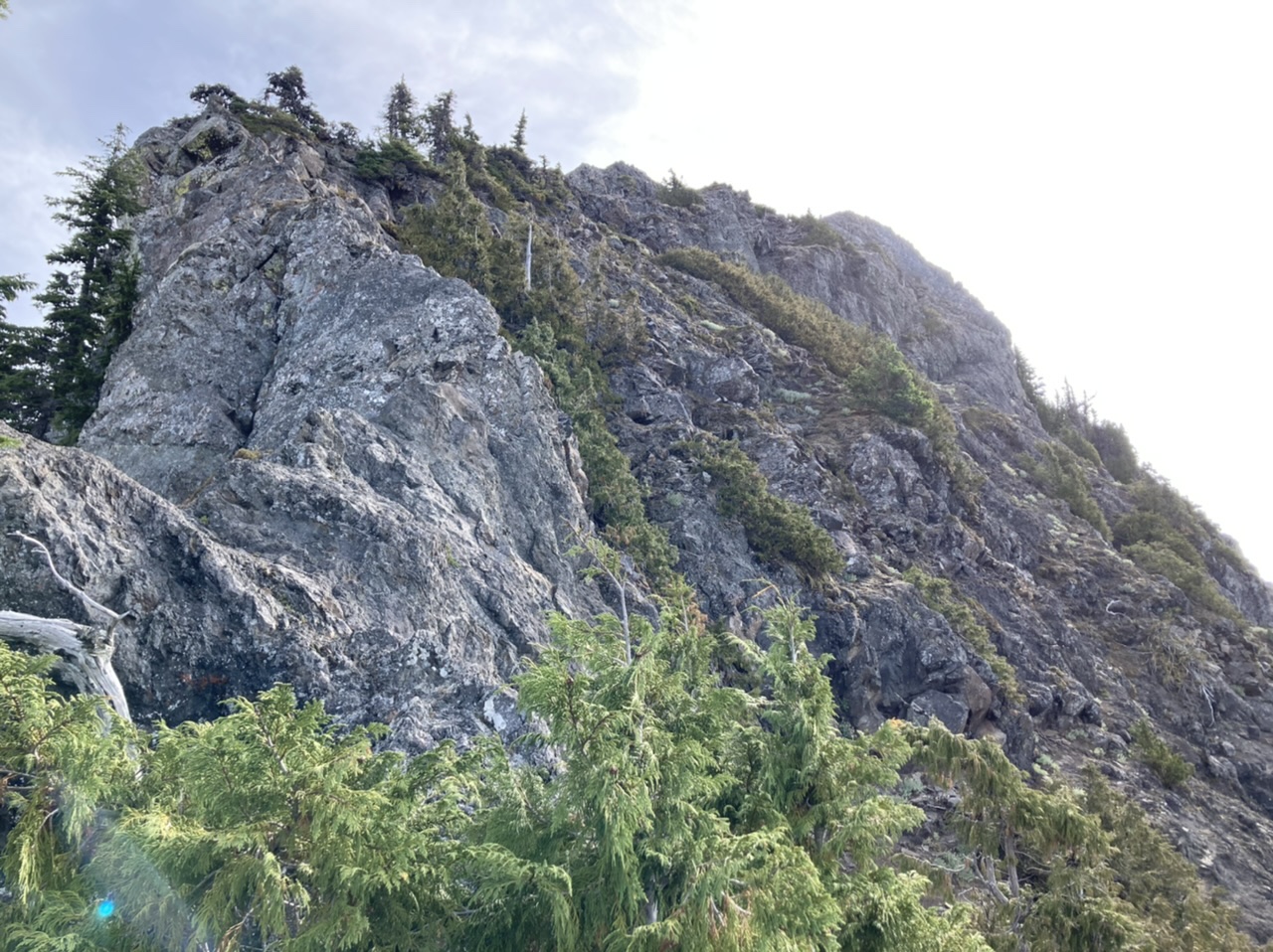
For a better appreciation of the slope at this location, its approximate position is indicated by the red spot in the following photo (taken later in the day from Point 5418)…
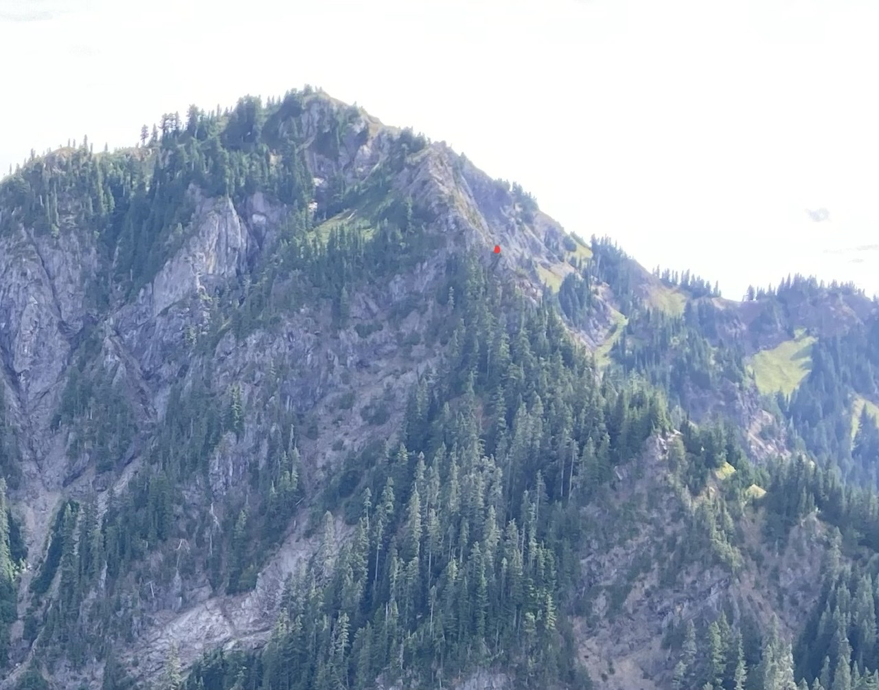
… shown a bit zoomed out:
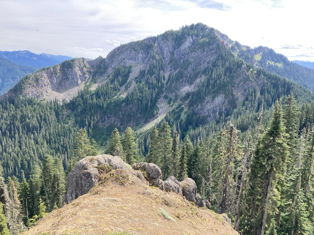
After a well deserved lunch our folks suggested we make good use of our progress by finishing the day with a ridge scramble to the Goat Lake - Gobblers Knob trail (via Point 5418). Aside from some brushy spots (some with obscured cliffy sections and stinging insects just before reaching the trail), this was a very reasonable traverse and a great navigation/route finding exercise. A wonderful day in the mountains with a total time of ~10 hours over ~14 miles with ~4000’ of elevation gain. Photos from this and other trips to this venue can be seen here.
 Dave Morgan