Trip Report
Alpine Scramble - Gove, Tolmie, Howard, Alki Crest, & Florence Loop
A grand (and strenuous) fall color tour with lots of summits, sights, and sit downs (some longer than others ;). Throw in a gorgeous mountain lake (Eunice Lake) and you’ve got a pretty good day.
- Sat, Oct 15, 2022
- Alpine Scramble - Howard Peak & Florence Peak
- Howard Peak & Florence Peak
- Scrambling
- Successful
-

- Road suitable for all vehicles
-
No snow on the entire route, and while most brought poles a few us brought ice axes for their utility in the low dagger position on steep/dirty slopes. Few opportunities for water made the late afternoon visit to Eunice Lake particularly enjoyable.
We opted for the clockwise version of this loop visiting upper Gove Peak (not the official one, the one with a view), Eunice Lake, Tolmie Peak, Howard, Alki Crest and Florence. Unlike an earlier counter-clockwise trip, this clockwise version seemed much more reasonable with the most challenging parts early in the day. Due to the long and tiring day we opted for the well defined boot track from Florence back to the cars (versus the shorter Sweet Peak bypass), making it a bit longer at ~18 miles/~5500’ gain total.
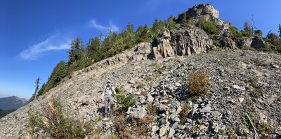
After a relatively short drive to the end of the Carbon River Road (drivable portion), a bit after 7AM saw us hiking east on the Carbon River Road. We made good time to the outlet of Green Lake and were soon heading cross country on a bearing of ~130° true. An interesting feature of this route is passing a micro Devils Tower on its west side (~4700’ elevation, 46.97286° N, 121.85041° W):

Continuing upwards we soon arrived at our rock scramble. We dealt with copious loose rock by staging coaches at relatively safe alcoves along the route and with only one person traveling between each station at a time.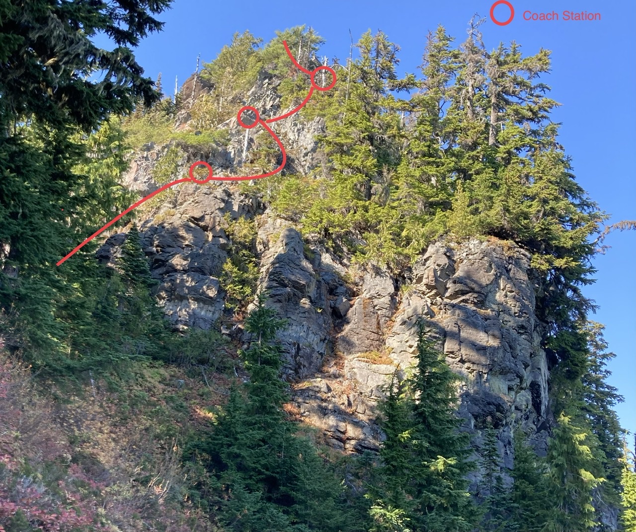
 (Photo by Erin Vagley)
Upper Gove Peak, only ~30 minutes for the rock scramble.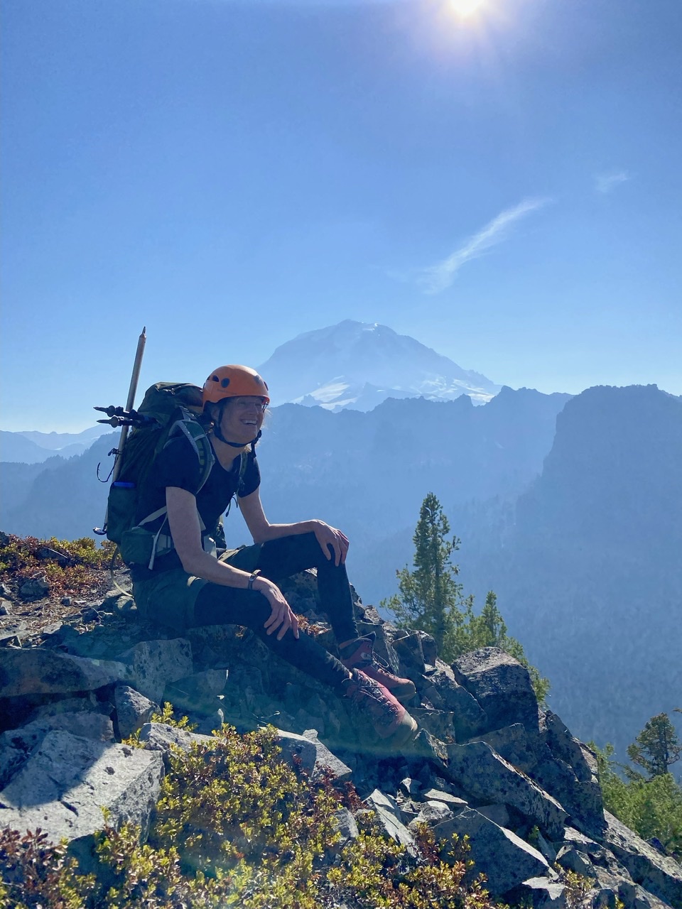 (Photo by Erin Vagley)
The meadows leading to Eunice Lake (Tolmie Peak on the right):
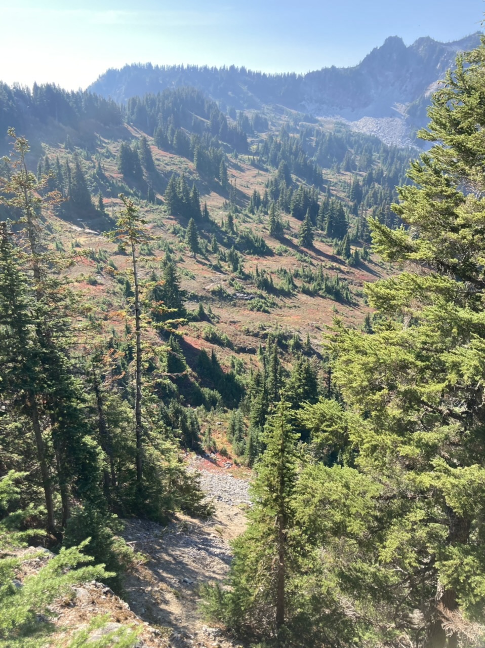
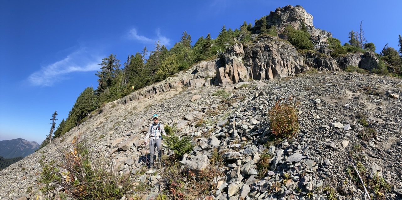
Aside from our rock scramble, descending this cliffy section is another significant navigation challenge for this route (at the southern end of the ridge trending SW from upper Gove Peak):
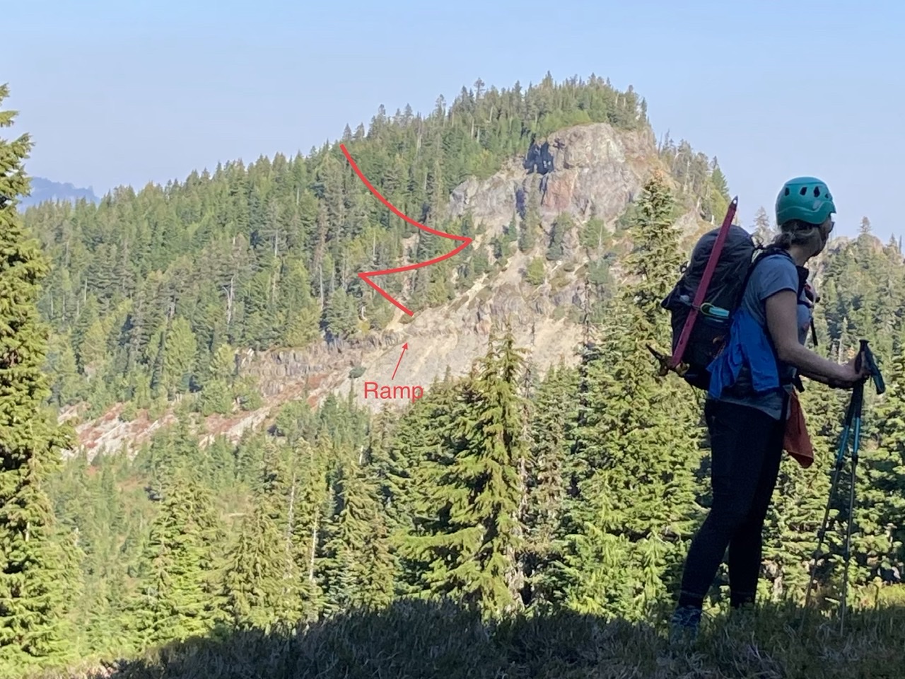
At the upper switchback in the photo above.
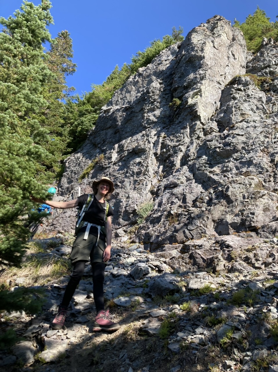
Just below the ramp (note yellow pack just above the ramp)…
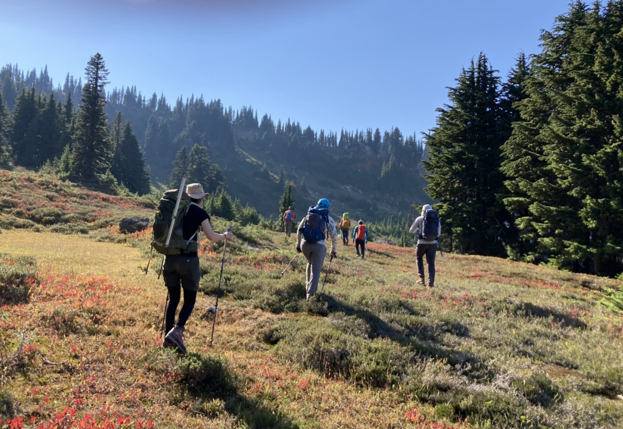
Making time to the col leading to Eunice Lake…
Eunice Lake
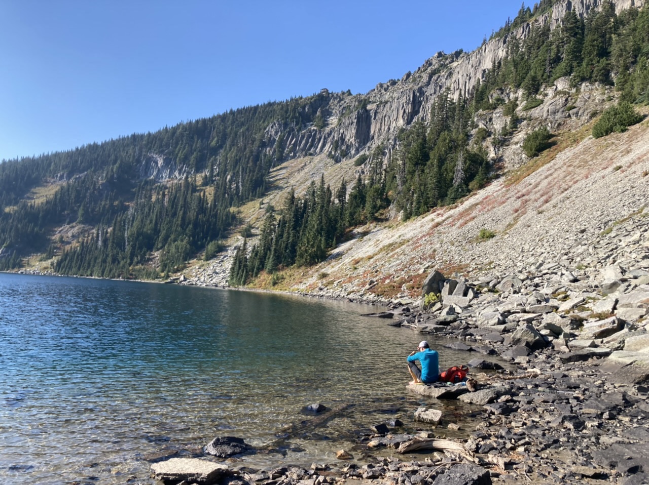
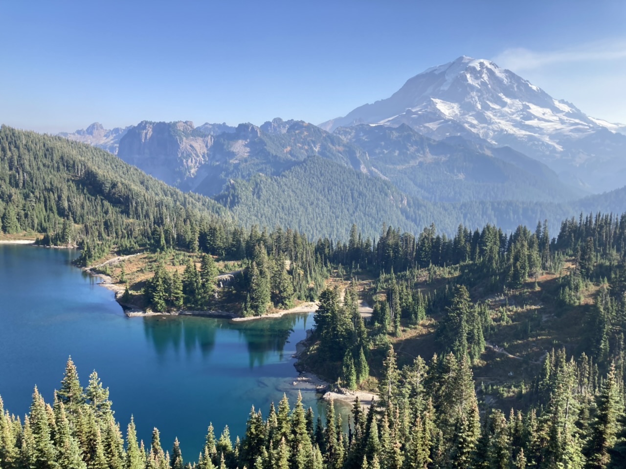
The rest of the day visiting (right to left) Howard, Alki Crest, and Florence Peak (taken from Tolmie Peak):
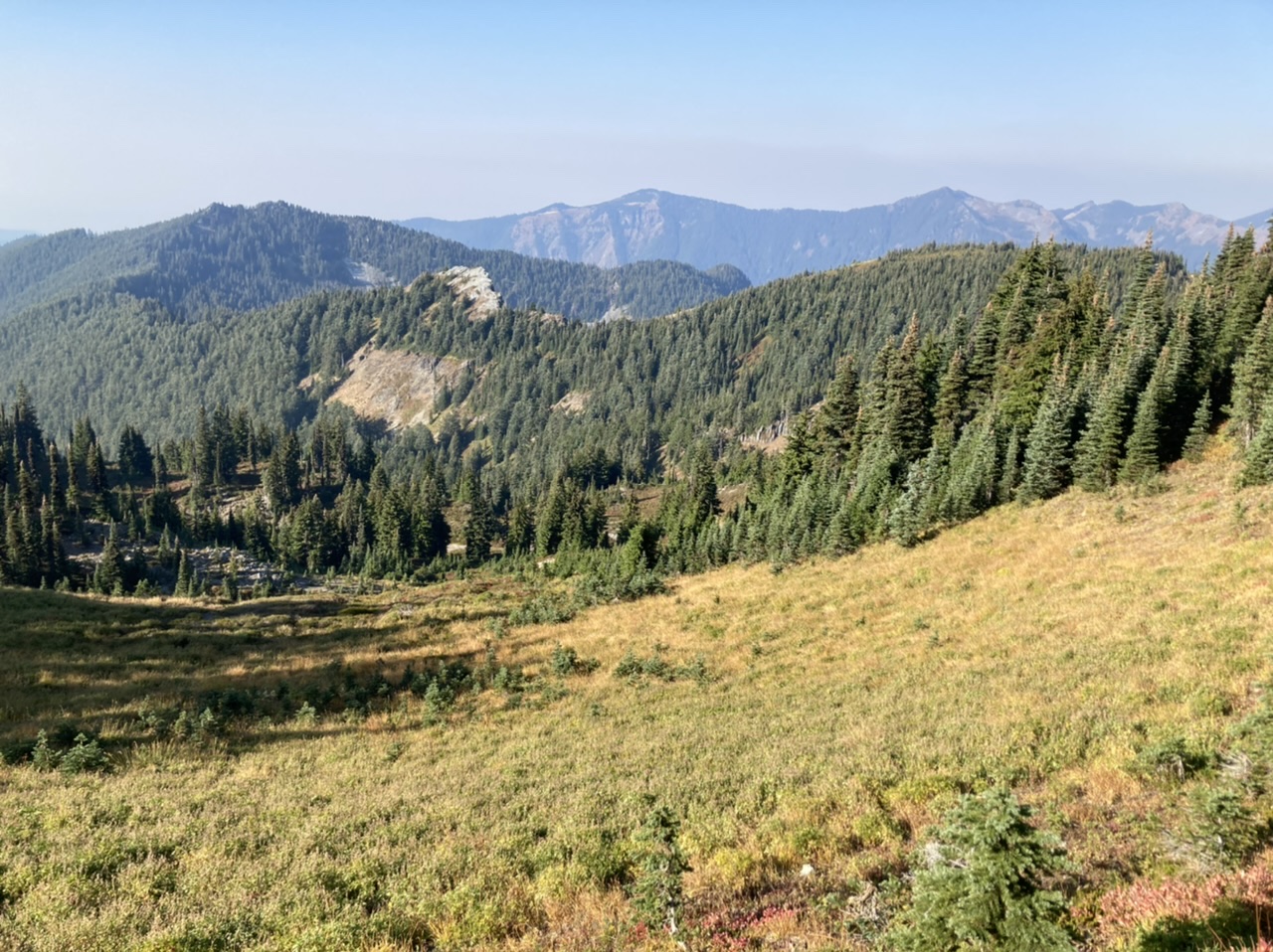
Looking back towards our Gove ridge traverse earlier in the day (during a lengthy and greatly enjoyed break on Howard Peak, hard to believe we were on upper Gove only 3 hours ago).
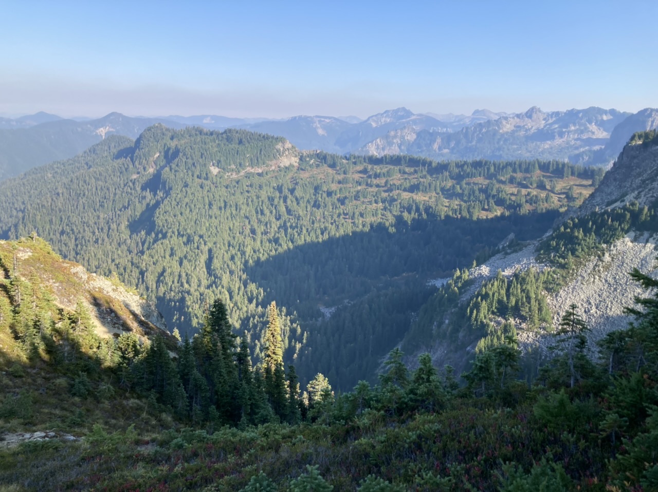
Just before sunset on Florence Peak, time to get the headlamps out…
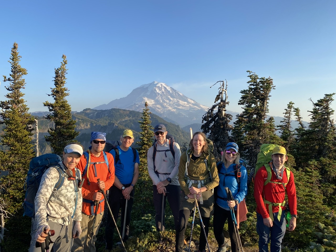
(By Daniel Moon, Erin Vagley’s Camera ;)
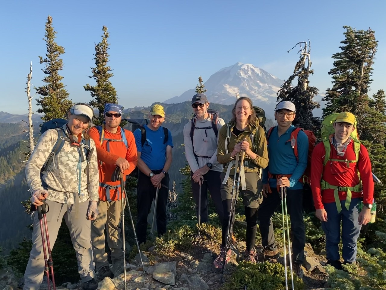
(By Erin Vagley)
A wide range of terrain on this very gorgeous and strenuous scramble (~18 miles, ~5500’ gain). This clockwise trip (12+ hours car to car) was a bit less than our prior counter-clockwise trip (13 hours), but with a shorter trip time in spite of twice the party size and 2 miles longer. I would definitely recommend the clockwise version over the other. Photos from this and other trips to this venue can be seen here. The prior counter-clockwise trip report can be seen here.
 Dave Morgan