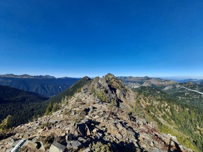
Trip Report
Alpine Scramble - Governors Ridge & Barrier Peak
A challenging T3 adventure
- Mon, Sep 6, 2021
- Alpine Scramble - Governors Ridge & Barrier Peak
- Tamanos Mountain, Governors Ridge, Barrier Peak & Buell Peak
- Scrambling
- Successful
-

- Road suitable for all vehicles
-
Paved all the way. Be aware that the Owyhigh Lakes trailhead is small with only a room for about 6 cars. If the lot is full, park 1/4 mile lower on the road. There are no bathrooms at the trailhead, stop at the White River ranger station for bathrooms beforehand.
We had a group of 8 Mountaineers and we met at 7am at the USFS ranger station in Enumclaw. I had scrambled with all but two of the participants in the past, so I felt really good about our group.
We discussed our route and game plan and then it was off to the trailhead. At the Owyhigh Lakes Trailhead, we put together our packs and then we were off at 8:30. The trip into Owyhigh Lakes was uneventful. The trail is in great condition. We had planned to stop at Tamanos Creek before the camp to top off water, but the creek is now completely dried out so we continued on to the lake itself. At the lake a few filtered water. We took a snack break and applied sunscreen.
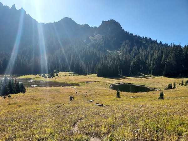
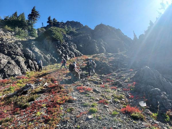
We left the lake around 10:20 and started through the bushwhack section of our trip. We found a path of least resistance by generally following some of the dried out creek beds and really did not have to battle the trees or brush all that much. We continued on in a general southeast direction to the bowl below Barrier Peak. From there we turned east and continued up to the Governor's Ridge/Barrier Peak saddle. This section gets to be fairly steep especially near the saddle itself. There is a lot of loose scree, very limited vegetation, and the footing is not great. As we neared the saddle, one of our scramblers became sketched out by the combination of steepness and loose scree, but we were able help her find good footing and we all successfully achieved the saddle by 12:00pm. We took a food break and discussed our next steps. Our scrambler who struggled up to the saddle decided to wait back in a safe place below the ridge and do Barrier Peak with us later.
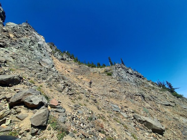
We had a good track and good beta thanks to Jerrick Linde who did this trip in 2020. Also, an attempt that was made in August in which we had to turn back provided additional information to achieve the next section. On the east side of Governor's Ridge, there are two rock/boulder run outs. By descending below those boulder fields by about 100 feet, we could avoid the loose rock and boulders that can be problematic to travel on. After the second run out we turned back towards the west and up the gully. The key to this section is that halfway up the gully, we need to turn right in a northerly direction up another gully with a band of trees up the top. This is a steep section with again a lot of loose scree and questionable footing. However, if you stay to the right on this gully, you can actually get to a small ridgeline that will take you to the tree band. After the tree band, the summit is visible and the rest of the way is easy class 2. Right below the summit itself, there is a small slot that you have to climb to get to the summit itself, but nothing that couldn't be handled. Summit time was 2:00pm
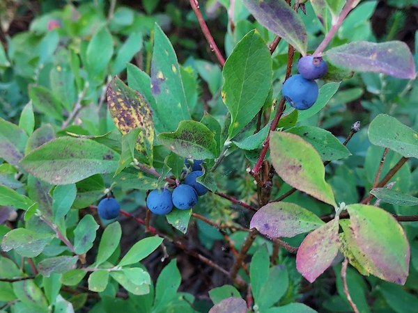
After snacks and photos, we descended the exact way we came up and met our 8th scrambler in the field below the ridge. We continued south along the east side of Governor's Ridge and Barrier Peak careful not to descend too low. There was plenty of vegetation including huckleberries along the way. We then turned southwest and scrambled up to the Buell/Barrier ridge and on to the base of the Barrier Summit Block. The rest of the way up Barrier Peak is all T2 and easily achieved. Our summit of Barrier was at 4:30.
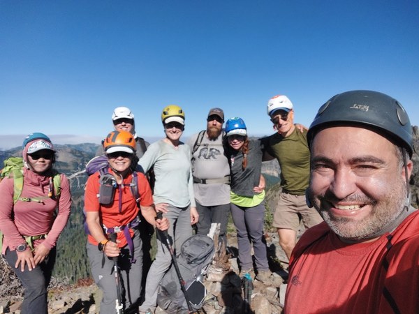
From Barrier, we then descended along the west ridge of Barrier Peak heading along the south side of the high point 6,200 feet and then to the west toe of the high point. It was then a bushwhack back down to the Owyhigh/Deer Creek trail. I took many breaks on the way down for ripe huckleberries.
We arrived back at the lake around 5:45. A few scramblers refilled water at the lake but most of us had enough water to get back to the trailhead. We were back at the cars at 7:35.
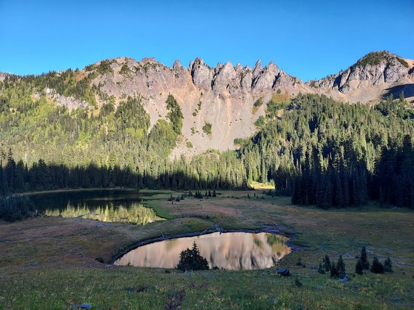
It was a fun trip overall. Governor's Ridge is challenging because of the all the loose rock and scree. We rated this trip at a T3 plus because of the degree of difficulty, but the gully itself was not as challenging as Lane Peak (a T4) and there really is not any exposure that would make this a higher rating.
Here is my GAIA track if you are interested: https://www.gaiagps.com/public/RnmDynk00j3ugSmYGbEqViTc
 Paul Kallmann