Trip Report
Alpine Scramble - Gunn Peak
One of the finest fall scrambles around! Word has gotten out, and it is getting popular.
- Sat, Sep 21, 2024
- Alpine Scramble - Gunn Peak
- Gunn Peak
- Scrambling
- Successful
-

- Road rough but passable
-
- Gravel road to Barclay Lake Trailhead has a few potholes but should be passable by most vehicles.
- Due to increasing popularity of this scramble over the past few years, there is now a relatively easy to follow bootpath everywhere except the rock scramble sections (but routefinding skills are still needed at few places).
- Climber trail has one slightly muddy section.
- Barclay Creek is easily crossable.
Our group of five started from the Barclay Lake Trailhead at 7:30 am on Saturday after experiencing a beautiful sunrise on the drive in. The parking lot was just filling up at that time. Alternatively, you could opt to park on the side of the road (47.79400, -121.46230) to get slightly closer to the start of the climber's trail, but since this scramble is short on distance (but not elevation!) it was nicer to park by the pit toilet. Reports say you could drive the abandoned road to Barclay Creek and park there (47.79460, -121.46180), but I would not recommend that since it is so narrow.
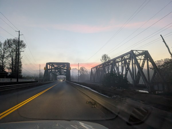
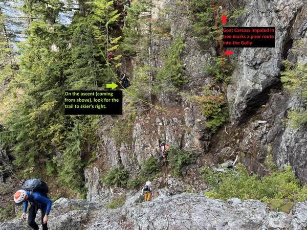
Barclay Creek was easily crossable, and after a short flat hike, the strenuous elevation gain on the climber's trail began. The trail was well-trodden steep dirt, with few blowdowns. We encountered one short muddy section and a few class 2/3 scrambly places. Before heading out of the treeline, there is one tricky spot: a gully crossing at 47.80360, -121.45485. The obvious path takes you straight down an incredibly steep dirt path, under an impaled goat carcass in a tree (at this point, the skeleton has fallen out into the gully). Do not take the route under the goat carcass! Instead, look for the trail to skier's right. We took photos on the return (below) which shows the trail to climber's left.
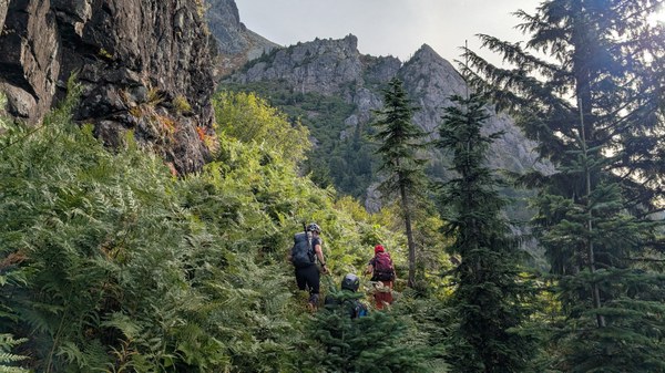
While there were a few brushy sections over well-defined path, there was nothing close to full-on bushwhacking.
The views at the bench above the treeline were spectacular and there were blueberries everywhere! They are at the end of season now, and won't be good for much longer. This area has been described as magical and I can see why. We took a clear bootpath descending into the valley, contouring down around Peak 5760.
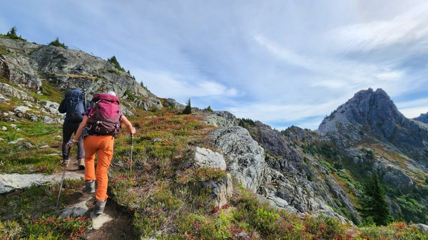
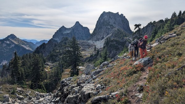
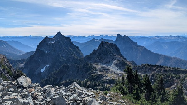
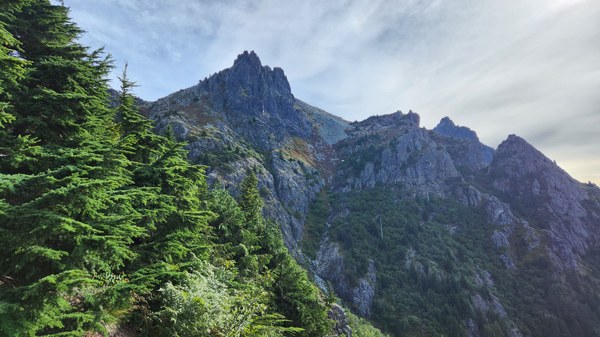
As we were contouring around Peak 5760, we got our first views of the boulder field leading to the "hidden ramp" at 47.81560, -121.44850. This was straightforward, easy boulder hopping on fairly solid rocks. If you prefer loose scree, there was a path avoiding some boulder hopping along climber's right.
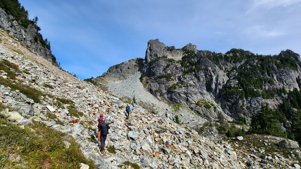
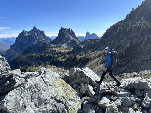
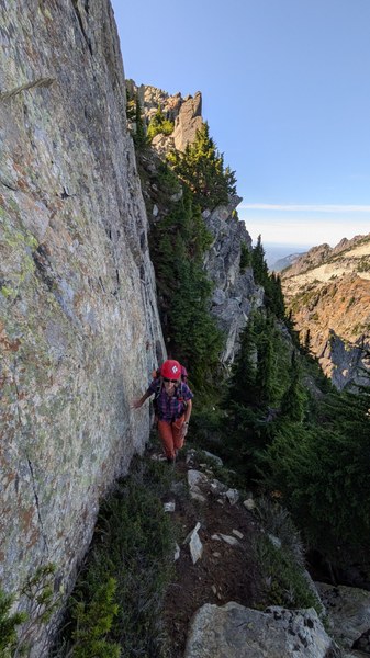
The hidden ramp, which was the crux of the trip, was class 3/4 on mostly solid rock, but beware for some loose rock pieces and wear a helmet here. We saw three main route options for the hidden ramp:
- Stay climber's left and pass the chockstone. This may be easiest for tall people, but be careful of loose rock.
- Make things spicy by taking the more vertical wall to climber's right of the chockstone. See photo below for a view downclimbing this option.
- Stay climber's right, which was our ascent route and the way some of our group descended.
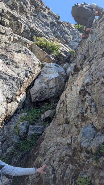
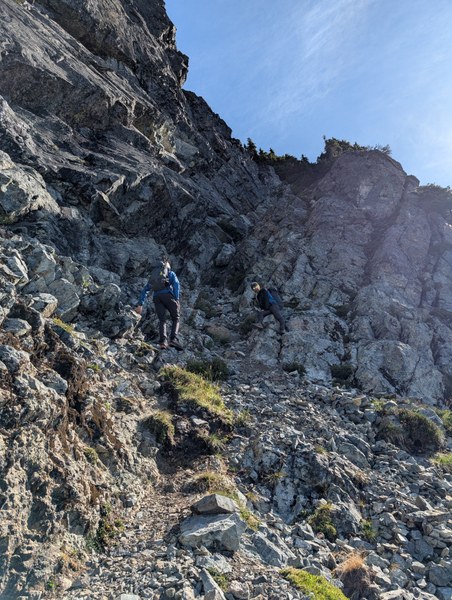
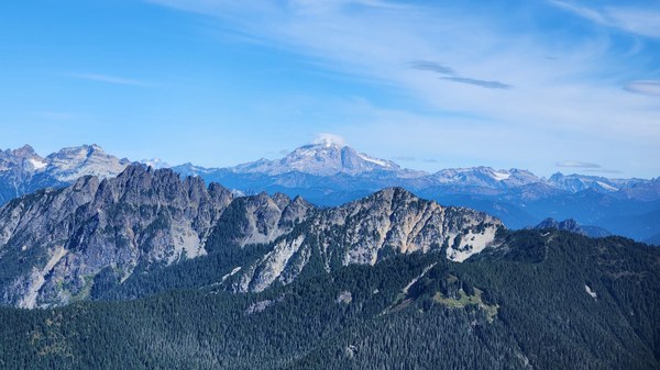
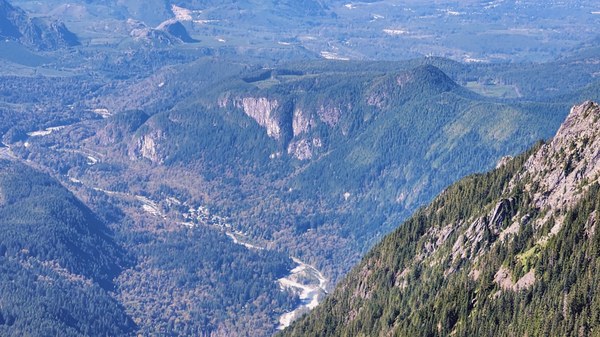
Once past the hidden ramp, we soon entered another talus basin which has smaller rocks and some paths to follow. After turning to head north, aim for the V-notch at 47.81630, -121.44680. The positioning of passing through the notch is really neat, as you suddenly get views of Glacier Peak and potentially a blast of colder air. Along the north side, there is a narrow ledge with some exposure, but the trail along it is good. After that, it is a straightforward scramble to the summit. Look for the Nalgene bottle which serves as the summit register. The summit views were incredible. While resting at top, our radios picked up some communication from climbers at the Index Town walls (which were visible above the town of Index from the summit), highlighting the prominence of this gorgeous summit.
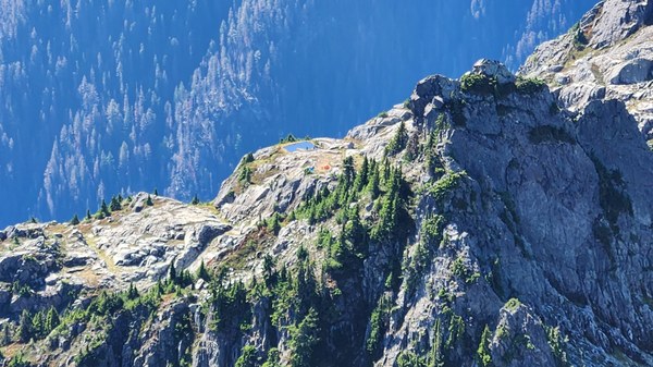
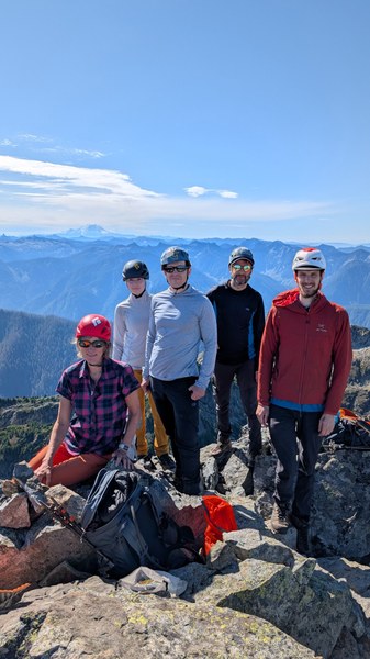
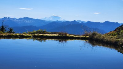
On our descent, we passed at least 10 other people going for the summit. We added a slight detour to stop at Infinity Tarn, which is incredibly stunning.
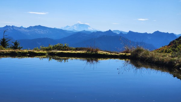
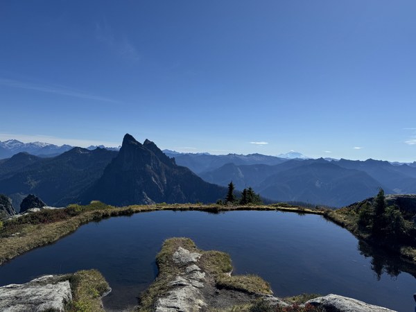
Our trip took us 9.5 hours in total, which included longer breaks at the summit and Infinity Tarn. After, a few of us grabbed dinner in Monroe.
Overall, this is a wonderful, strenuous fall scramble with varied and some challenging terrain. Highly recommended! Now is the perfect time as fall colors start to show.
 Emily Goren