Trip Report
Alpine Scramble - Hadley Peak
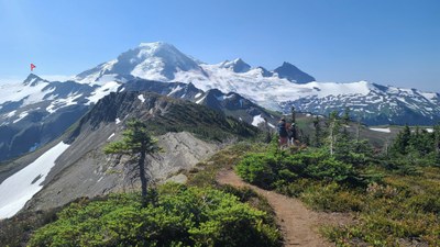
Beautiful ridge hike on the Skyline Divide Trail and Chowder Ridge with the last few hundred feet being quite chossy.
- Tue, Jul 27, 2021
- Alpine Scramble - Hadley Peak
- Hadley Peak
- Scrambling
- Successful
-

- Road rough but passable
-
Many sections of the 11 miles on NF-37 to the trailhead are very potholed. It took some of us close to 1 hour to drive it. The TH is fairly large, but can be filled on nice weekends. A privy is available. NW Forest Service Pass or equivalent required.
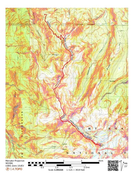
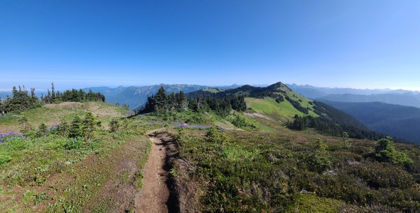
The 4 of us started down the trail at 7:30am. The Skyline Divide Trail is in good shape. About 2 miles in, we leave the forest and are on the ridge. So beautiful are the views! There are several highpoints along this ridge that are named in Peakbaggers so we'll take the time to tag them along the way. A pano from our first highpoint at 5884'.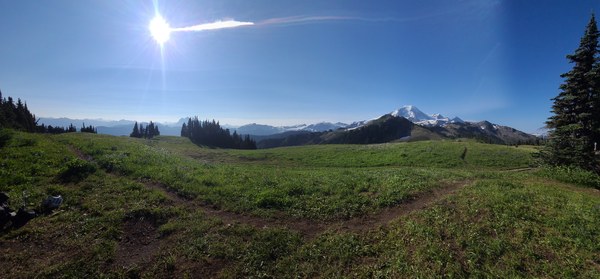 On we go.
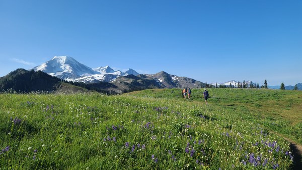 Looking back.
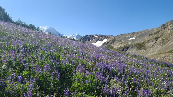
 An especially thick patch of lupins and sitka valerians.
 After about 4.5 miles, you leave the nice Skyline Divide Trail and are on Chowder Ridge. A short scrambling section on Chowder Ridge.
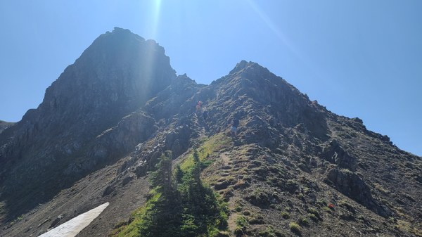 Ridge hike continues. Hadley Peak still looks far away.
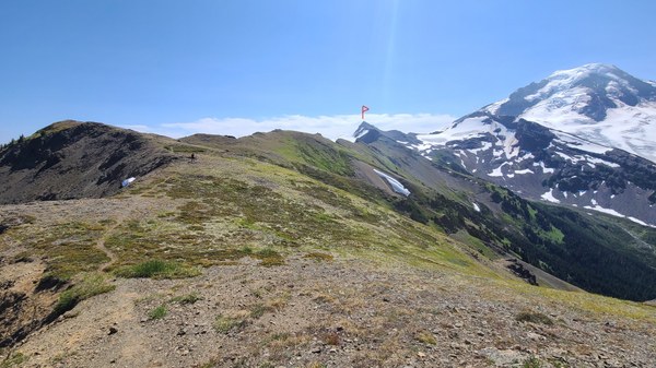 Looking back at Skyline Divide. That small lake which is right before where Chowder Ridge starts is probably the only place to get water. Not too hard to reach from the trail.
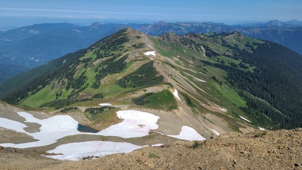 Sometimes the bootpath disappears. I suspect it's because people and animals (saw lots of goat hair) spread out here.
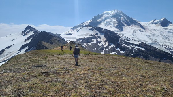 The side-hilling starts, but it's not difficult.
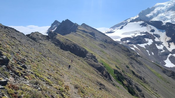 The route to the summit.
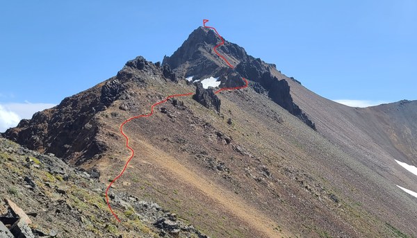 Continuing up the chossy gully on the other side of the double pieces of rock.
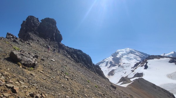 Photo taken on the descent. It's steeper than it looks in this photo. The double pieces of rock are on the right side of the photo.
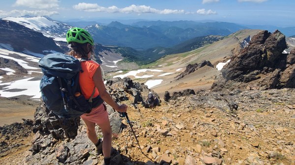 Shuksan's summit in the clouds.
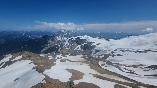 A look back at our summit as viewed from 7120', another highpoint and then the long hike back.
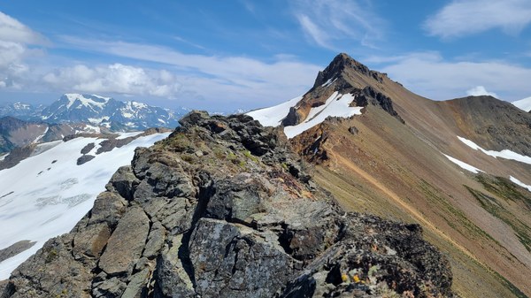
My GAIA read 14.6 miles/3327' gain. - 11 hrs c2c with many stops.
Great group!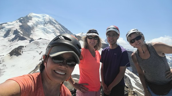
 Susan Shih