Trip Report
Alpine Scramble - Kaleetan Peak/White Ledges
A scramble loop up Kaleetan's east face "White Ledges" and down the south route
- Mon, Aug 1, 2022
- Alpine Scramble - Kaleetan Peak/White Ledges
- Mount Roosevelt & Kaleetan Peak
- Scrambling
- Successful
-

- Road suitable for all vehicles
-
Some easy linering patches of snow to cross in talus basin above the lakes. Short section of steep talus/scree on the way up to the White Ledges. The White Ledges and the final gully scramble are bare and dry. South route completely snow free. Between south peak and Melakwa Lake there is a tricky but brief chimney-gully to scramble down
We started off at 7:30 from the Franklin Falls parking lot, following the connector trail and the old Denny Creek TH road to the actual Denny Creek TH. The first stream crossing at the waterslide was easy. From there the trail gets rocky and rugged. The second stream crossing now features a log bridge. We hiked over Hemlock Pass and arrived at Melakwa Lake at approximately 10:30.
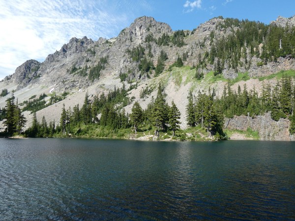
I topped off my water and we continued along the left side of the lake. We hopped the stream between the lakes then skirted around the right side of the upper lake, enjoying the view up toward Kaleetan Peak.
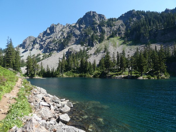
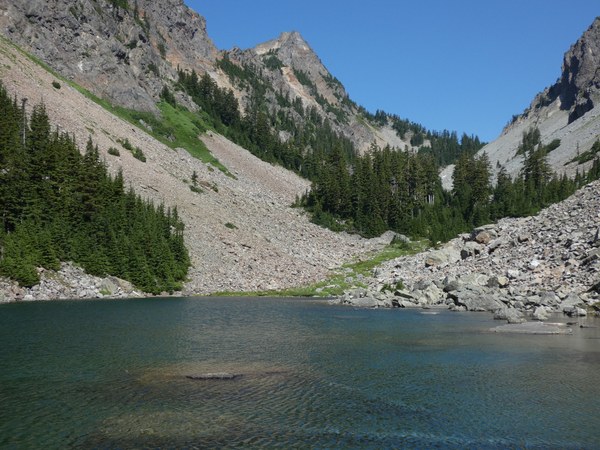
We followed a path along the steam crashing through meadows down toward the lakes. The path sucked us into a grove of trees and we ended up scrambling up along the creek bed. It is better if you stay right of this big grove of trees. We continued up the talus basin and aimed for the big rock buttress underneath the White Ledges.
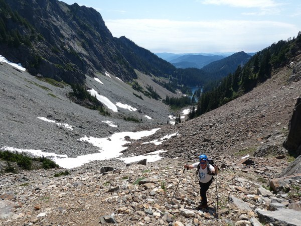
We skirted to the right around this big buttress, up some steep loose talus/scree to a little saddle. From here we scrambled up a little rock band and then up steep open slopes to the base of the White Ledges.
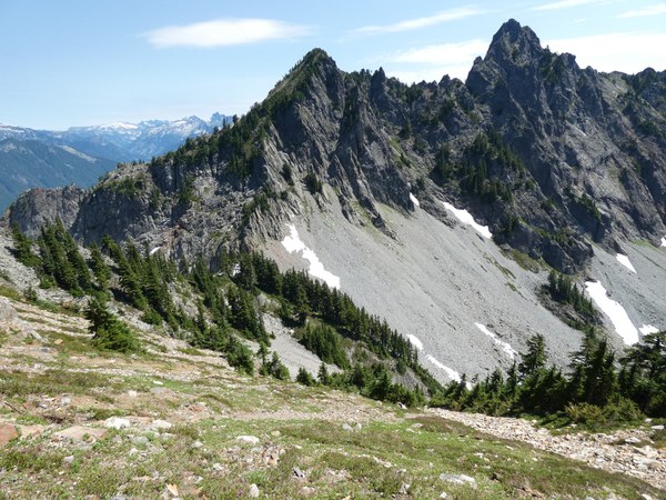
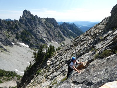
The White Ledges offers plenty of variation. It is a little easier if you stay left (T4), and a little more exposed and challenging in the center or right side of the rock face (T5). The hand and footholds are excellent but there are still some loose rocks that will be sitting on many of the little ledges to beware of. At the top of the rock face, angle up to the right to gain the standard trail on the ridge.
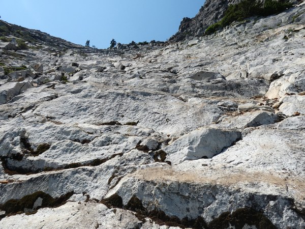
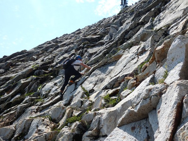
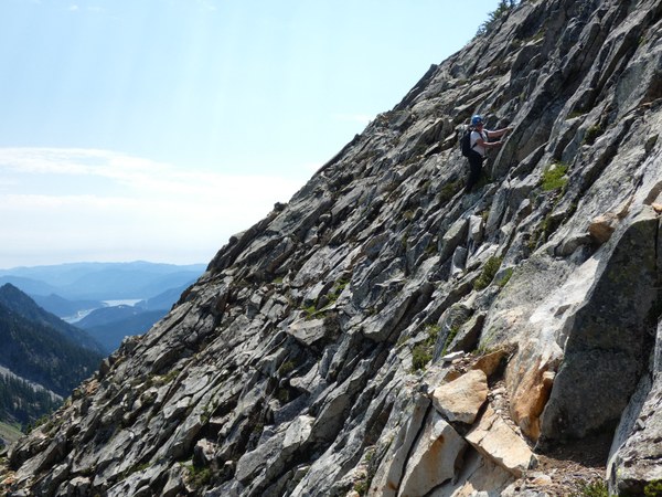
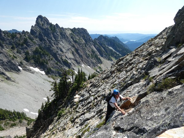
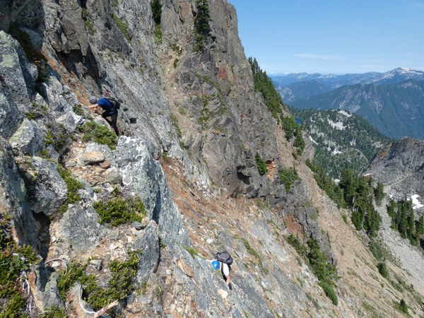
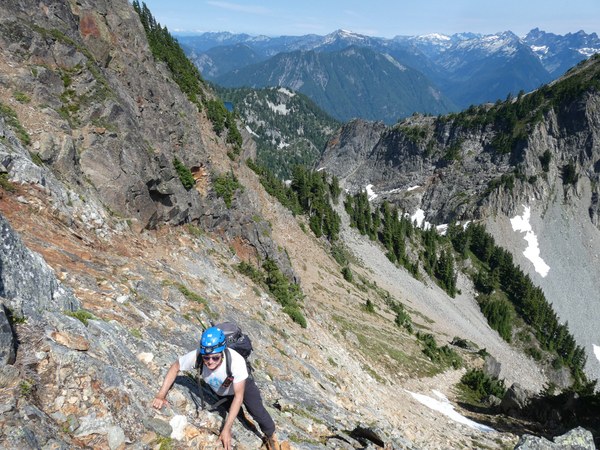
We followed the steep path up some talus to the base of the final gully to the summit. There is some loose rock but also a lot of solid rock is you stay to the left or right.
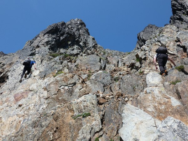
We reached the summit at 1:40 to enjoy the incredible views of the Alpine Lakes Wilderness all around. The summit register's notebook is completely full and needs to be replaced.
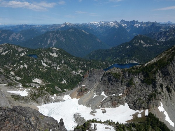

We followed the trail down the mountainside to the saddle on top of the east gully. While the east gully is my preferred descent route and is now free of snow, our group opted to stay on the trail and take the standard south route down. Unfortunately we did have the grueling slog up over the south peak which is the biggest con of this route. But on the trail down the open upper slopes of the south peak, there are many wildflowers in bloom. The "crux" of this route is a tricky nasty little chimney but it was brief.
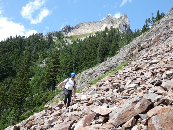
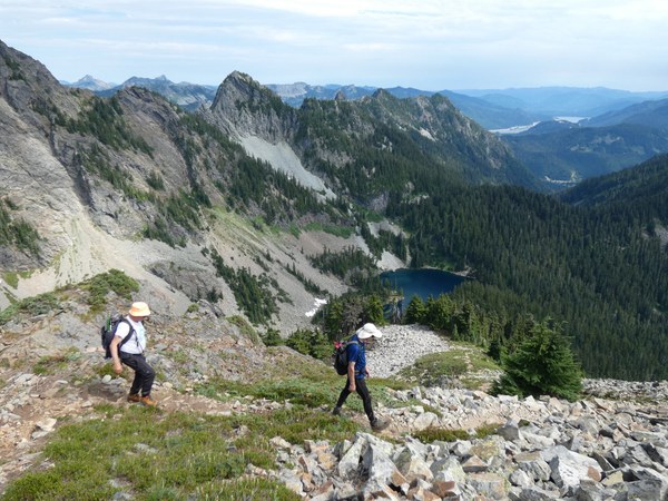
We returned to the lake around 3:50 and refilled our water before the hike out Denny Creek Trail. It was very refreshing to briefly lay in the water at the waterslide crossing! We returned to the parking lot at 6:45.
 Chris Pribbernow