Trip Report
Alpine Scramble - Mount Deception Traverse
A pristine, solitary and very challenging traverse of Mount Fricaba, Mount Deception, and Gray Wolf Ridge. This immersive trip should only be considered for extremely fit parties with great skills (route finding, northwest bushwackerry), and a sense of humor (for the darkest hours ;). Although we only consumed ‘3 days’, full disclosure requires an admission of a 3am arrival time back at the cars on the 4th day. In retrospect a 4 day trip would have been much more enjoyable (understatement of the year ;), with the last night at the last tarn visited.
- Fri, Jul 30, 2021 — Sun, Aug 1, 2021
- Alpine Scramble - Mount Deception
- Deception, Mystery, Fricaba & Hal Foss
- Scrambling
- Successful
-

- Road suitable for all vehicles
-
Snow and water conditions were almost perfect. The Dungeness River (see end of route conditions for flow rates) could have been easily forded just below the avalanche track leading to Point 6138 (we traversed cross country along the west side of the Dungeness River after departing from the Goat Lake trail to explore an alternate line for high water conditions). A small stream continues to flow down this avalanche track. Over the course of the trip hornet/bee stings were encountered during a number of our bushwhacking sections. The stagnant glacier on the northern aspect of Mount Deception continues its rapid decline yet is still negotiable on its eastern margin:
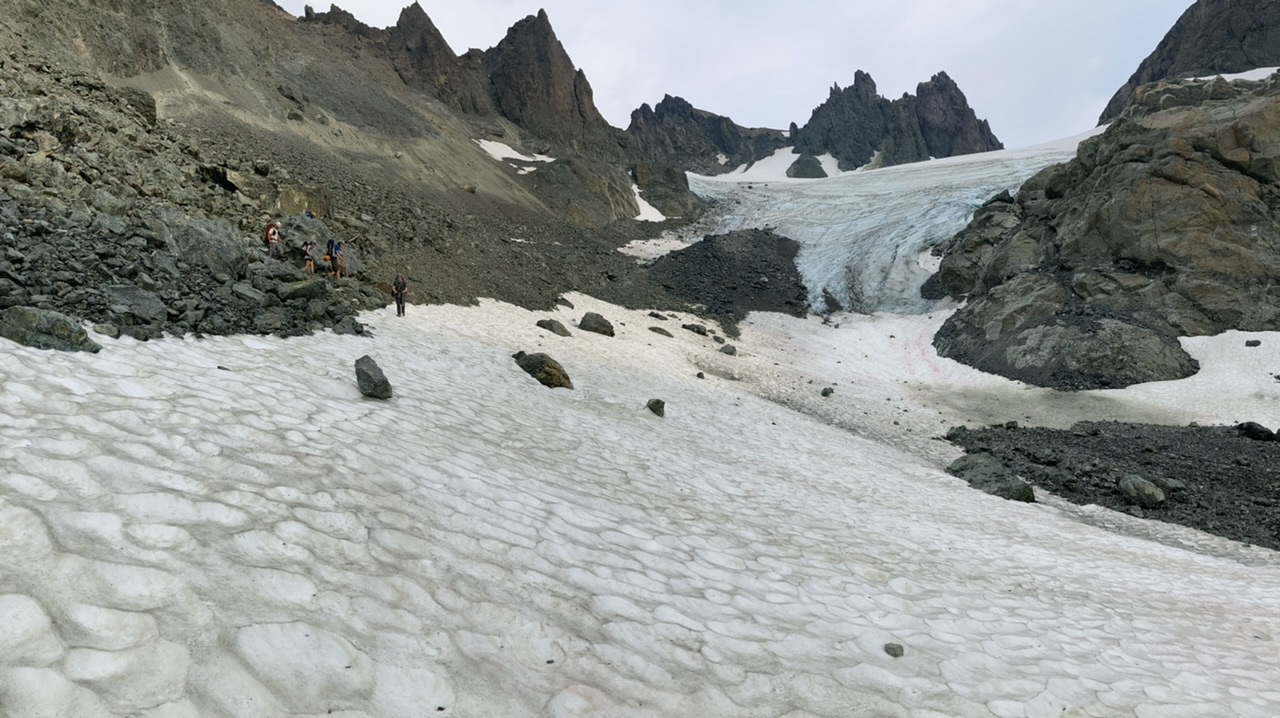
Crampons were required for the upper part of this stagnant glacier (micro-spikes would have been inadequate).
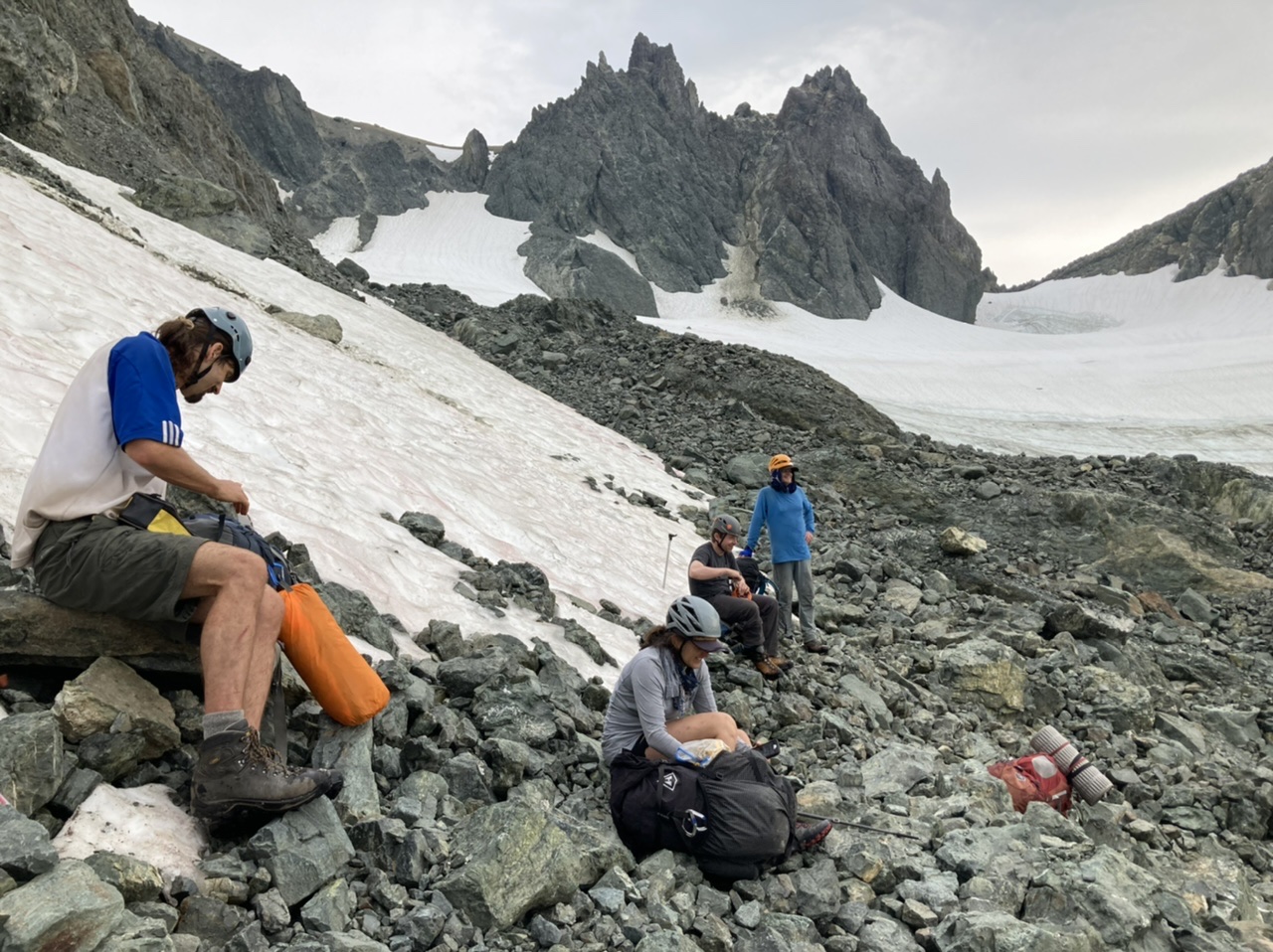
We experienced good cell phone signal on the crest of Gray Wolf Ridge.
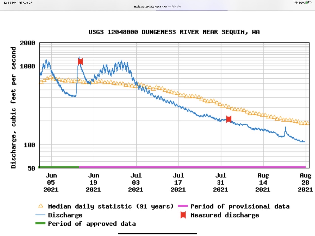
Regarding flow rates on the Dungeness River, this year (7/30/2021) the USGS flow rate (from a station near Sequim) was ~200 cubic ft/sec (appeared it would have been an easy ford). On another trip (6/4/2016) the ford in the same spot was spicy (on the upper end of reasonable) with a USGS flow rate from the same station of 700 cubic ft/sec. Here’s a summary of this year’s flow rates versus historical averages:
This gorgeous alpine traverse really gets you away from it all, with no other humans encountered between Friday morning (a couple camping along the Dungeness River) and Sunday evening (a person sleeping in a hammock near the Baldy/Tyler trail junction).
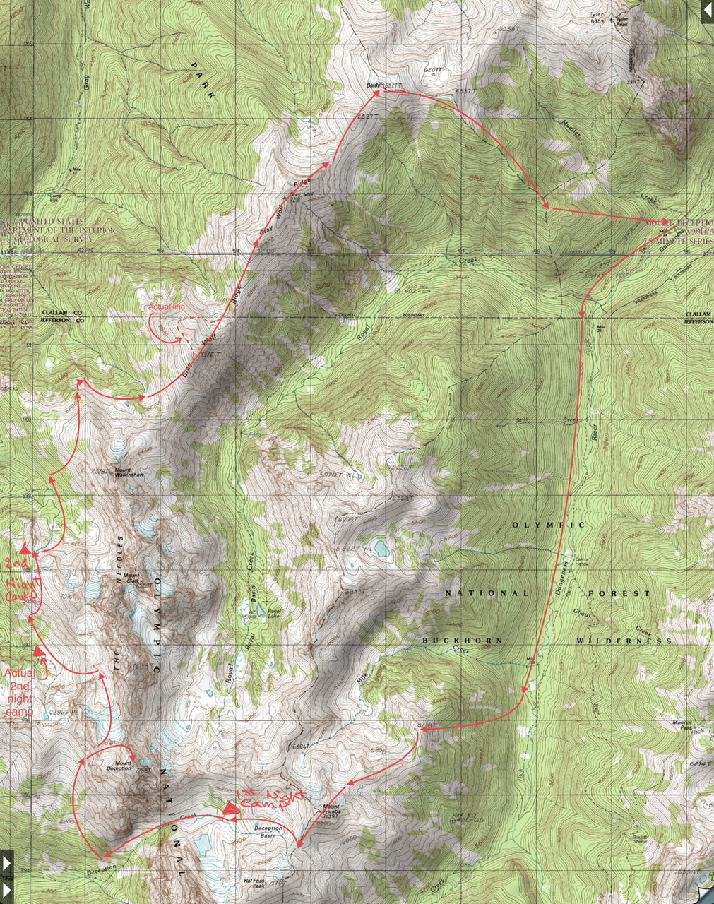
Our approximate 3 day route:
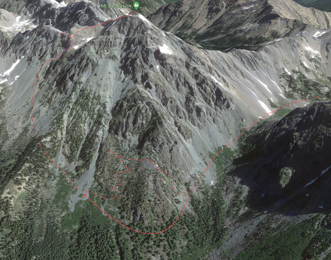
A number of brushy sections took much longer than originally anticipated, specifically:
- Deception Basin to the west side route of Mount Deception: between 5200’ and 5800’ on the western aspect of Mount Deception (our actual route is shown by the broken red line, an alternate route that should save 2 hours is shown by the solid red arrow). The delay introduced by this section forced us to camp 2 hours shy of our originally intended 2nd night’s camp.
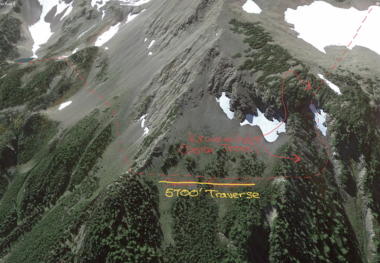
- Crossing the broad ridge west of Mount Walkinshaw: a tricky gully descent followed by a traverse at 5700’ (made much more difficult by dense krummholz obscuring the traverse entrance). Negotiating this section is much easier when done north to south as the game trails align you nicely with the best spot to enter the gully (this trip was south to north).
The major delays introduced by these two sections (plus a few other minor ones) ultimately saw us arriving at the summit of Baldy (and maintained trail) at 11pm on our 3rd day. Fortunately the good cell coverage on Gray Wolf Ridge allowed us to appraise our respective families of a delayed return, and after a late night descent we arrived at the cars at 3am. Most of us napped at the trailhead before starting the drive home.
** Day One **
Warm weather on the ridge leading to Point 6138 (and from there to Fricaba) made us to cling to every scrap of shade…
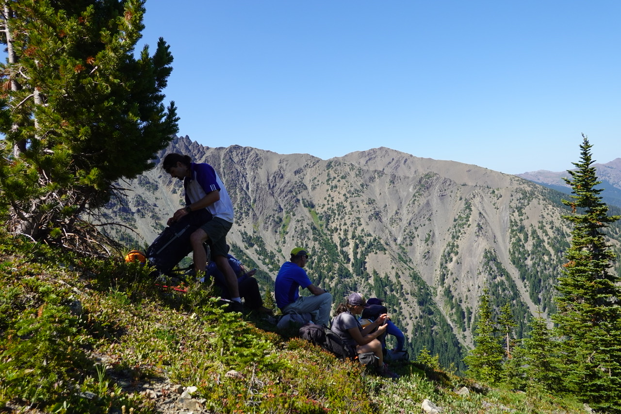 (photo by Leaf Petersen)
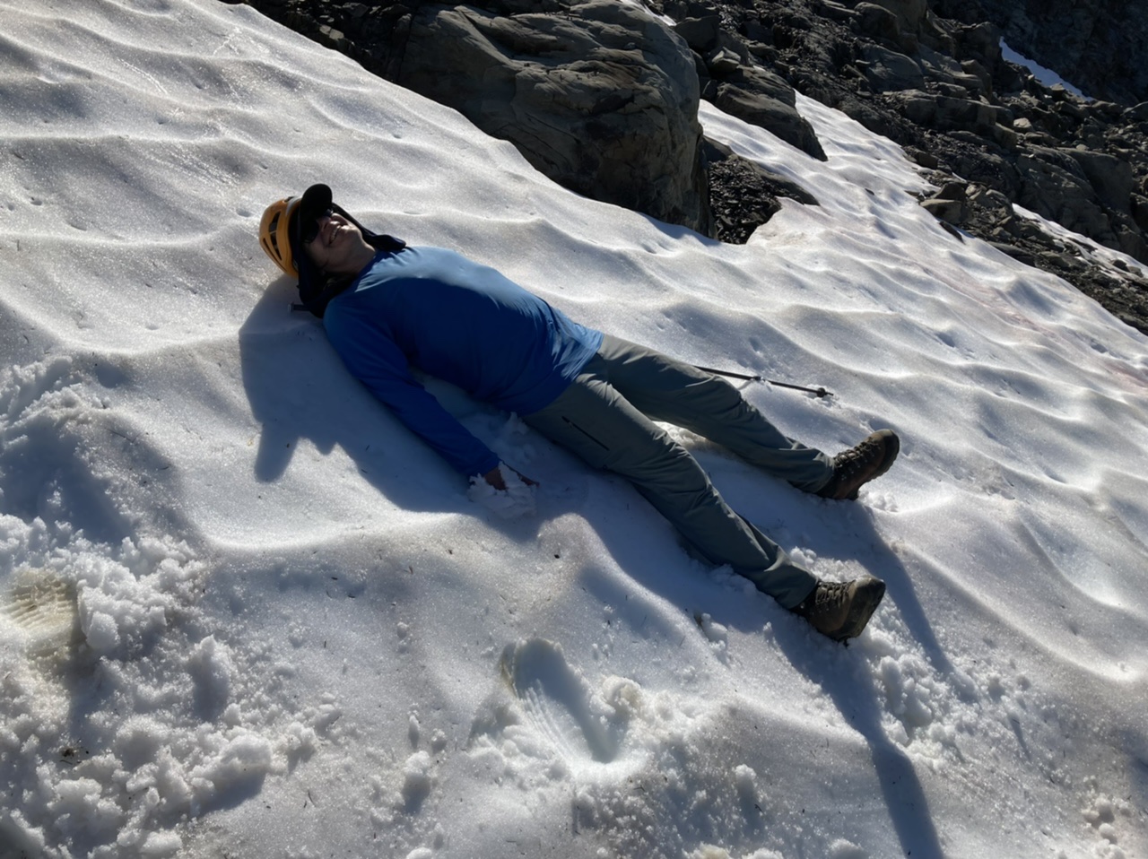
… we even resorted to FBC (full body cooling):
This ridge has a great camping spot/plateau at ~6400’ with stunning views of the San Juan Islands:
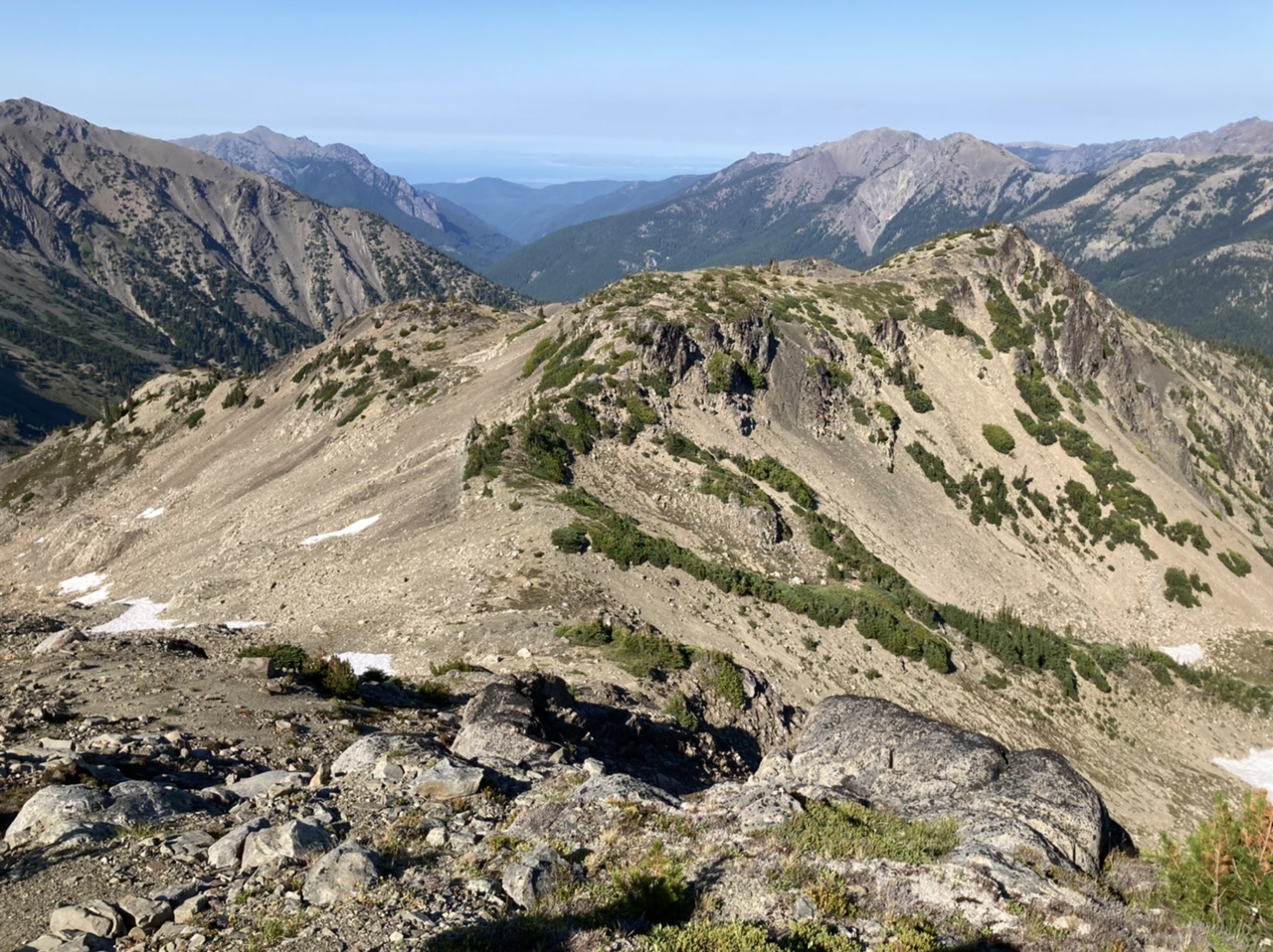
As we approach the summit of Fricaba the Gray Wolf Ridge crest (our future location ~48 hours from now) comes into view:
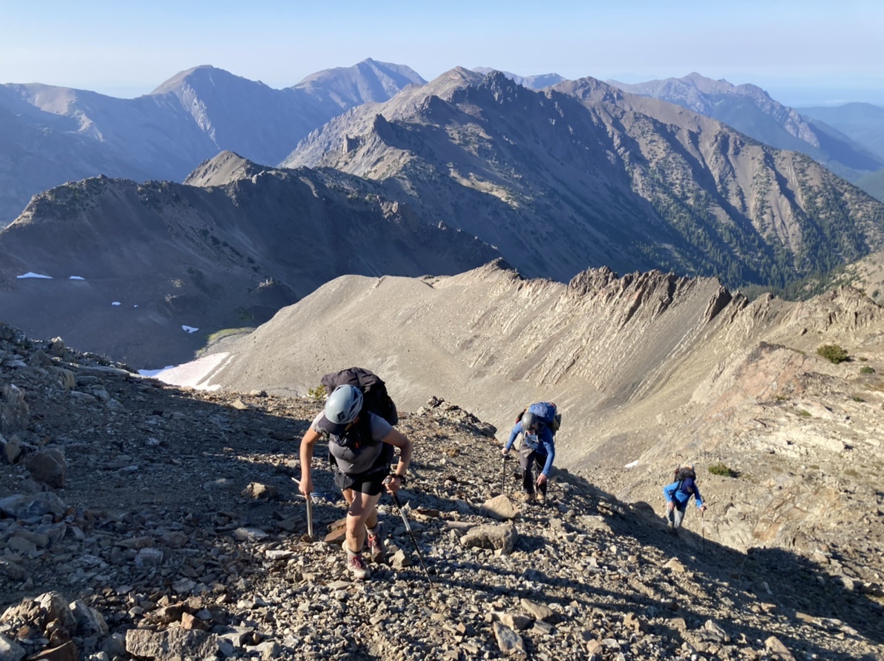
After a brief visit to Fricaba’s summit…
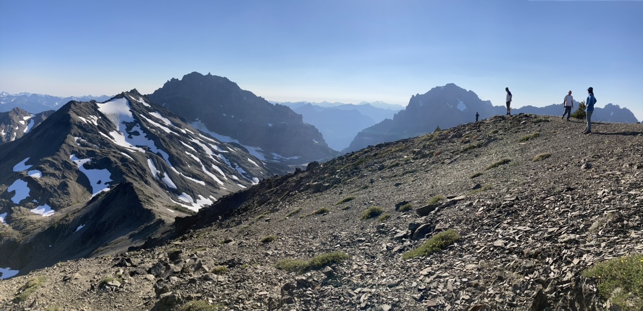
… we finally descend into upper Deception Basin, our first night’s camp:
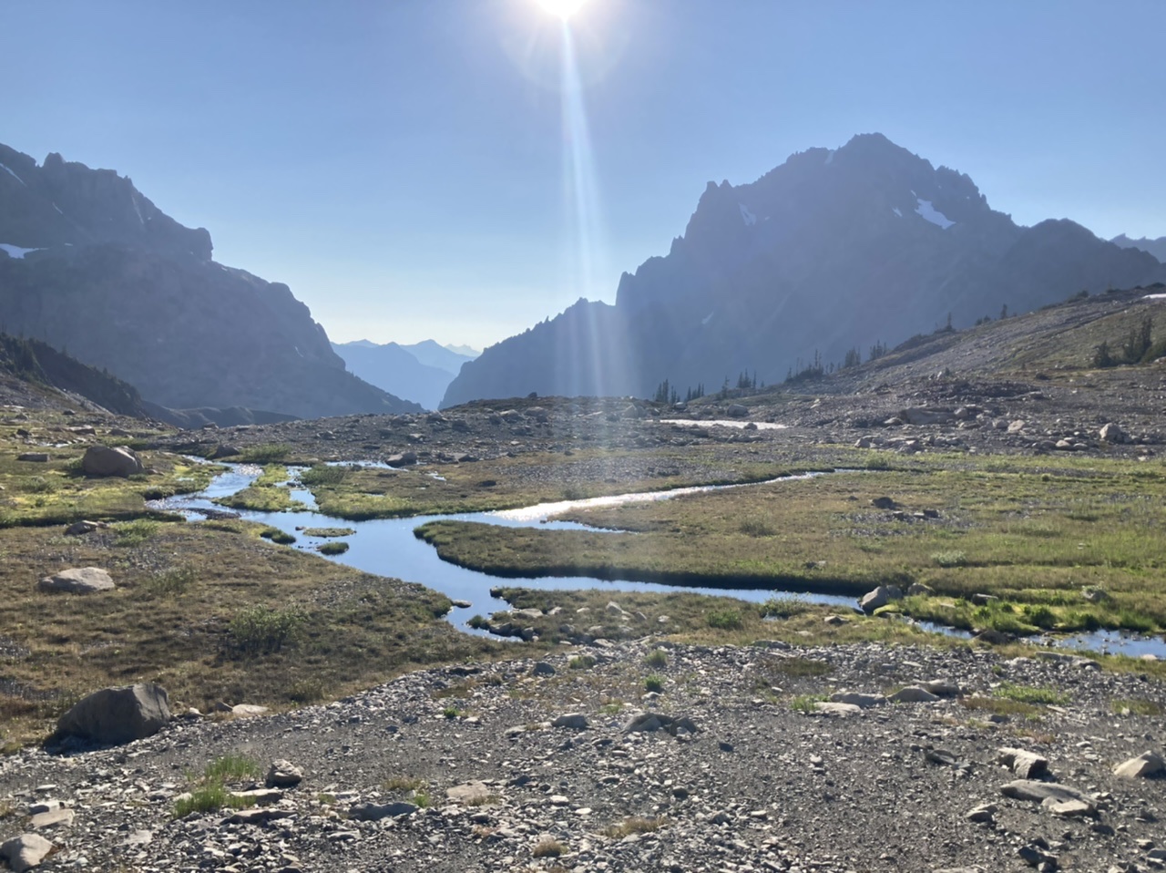
** Day Two **
We crossed lower Deception Basin on the north side of Deception Creek to avoid swampy conditions…
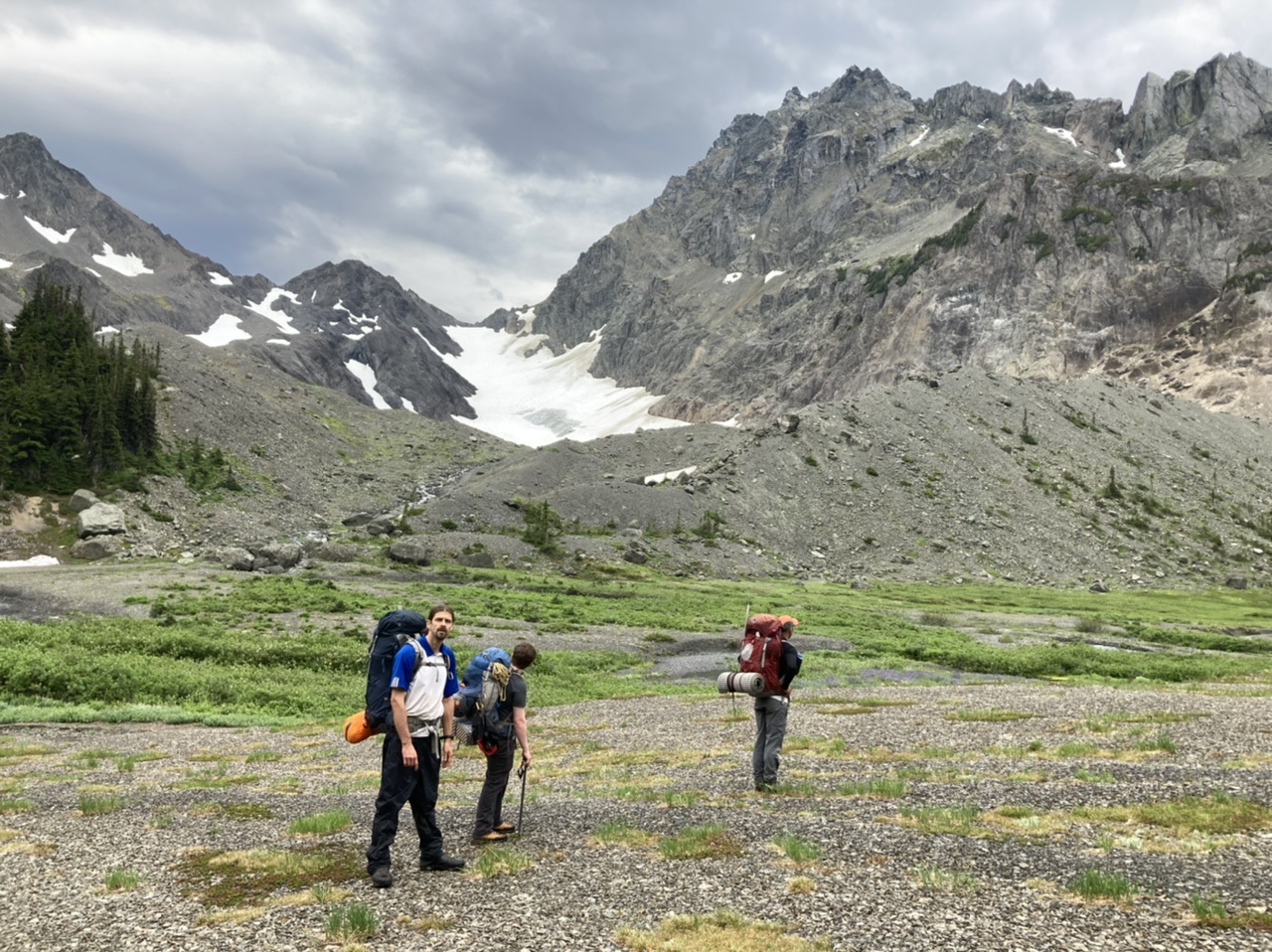
then filled all our water containers (from the rock flour silted stream) before starting the descent/traverse around the SW aspect of Mount Deception:
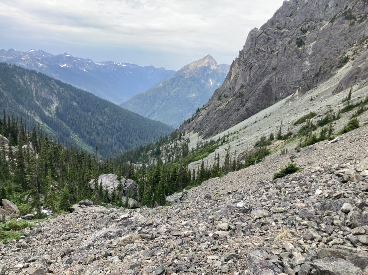
From the bottom of ‘Power Ranger Gulley’…
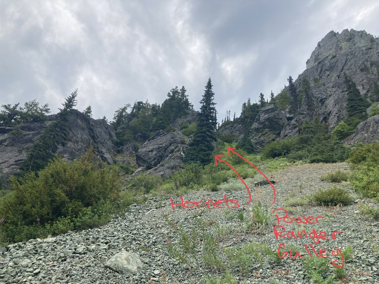
… and the top of ‘Power Ranger Gulley’ w/Mt Mystery on the left, Little Mystery on the right.
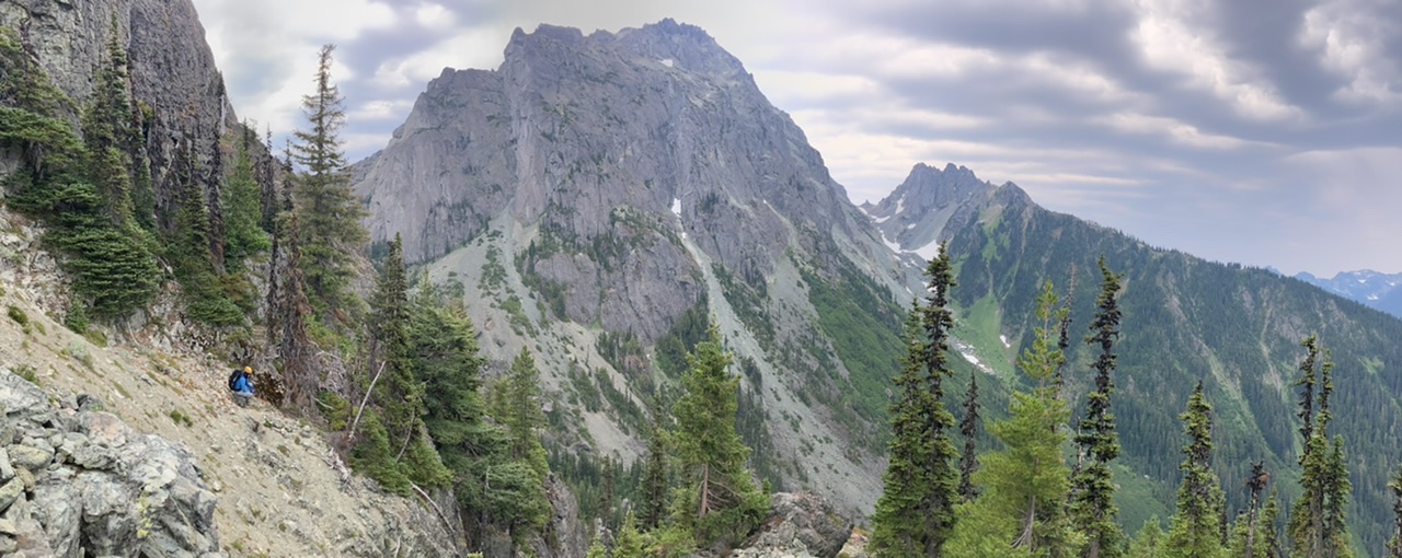
A well deserved break while toiling our way upwards to Deception’s west side route…
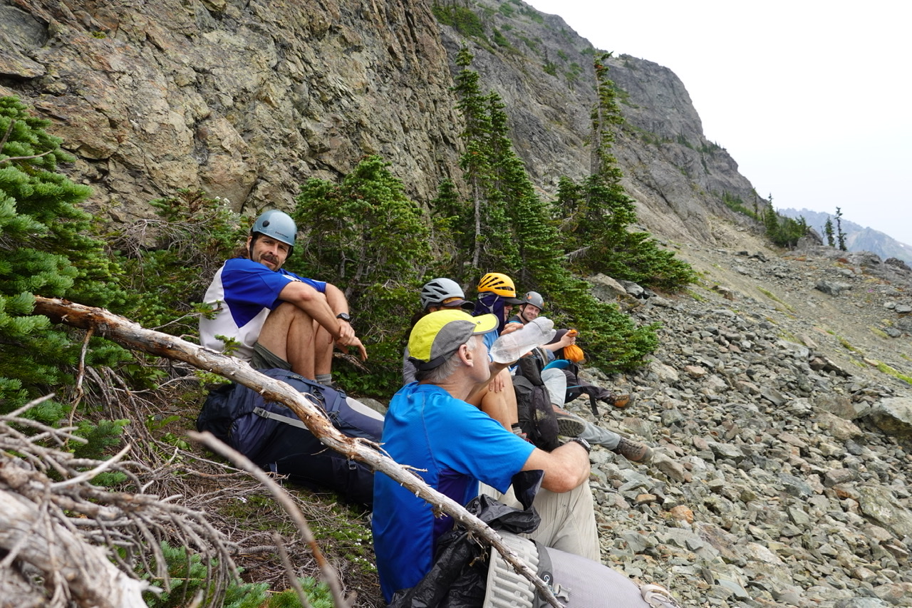 (photo by Leaf Petersen)
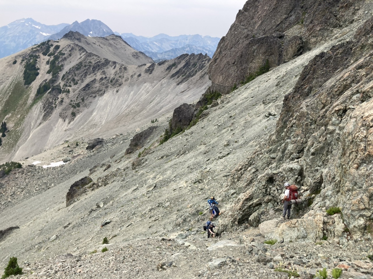
The start of the west side route…
Almost done with the scramble…
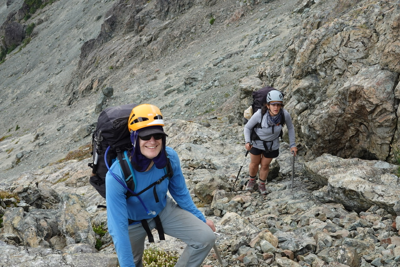 (photo by Leaf Petersen)
… and after dropping our packs (just west of Gilhooley Tower)
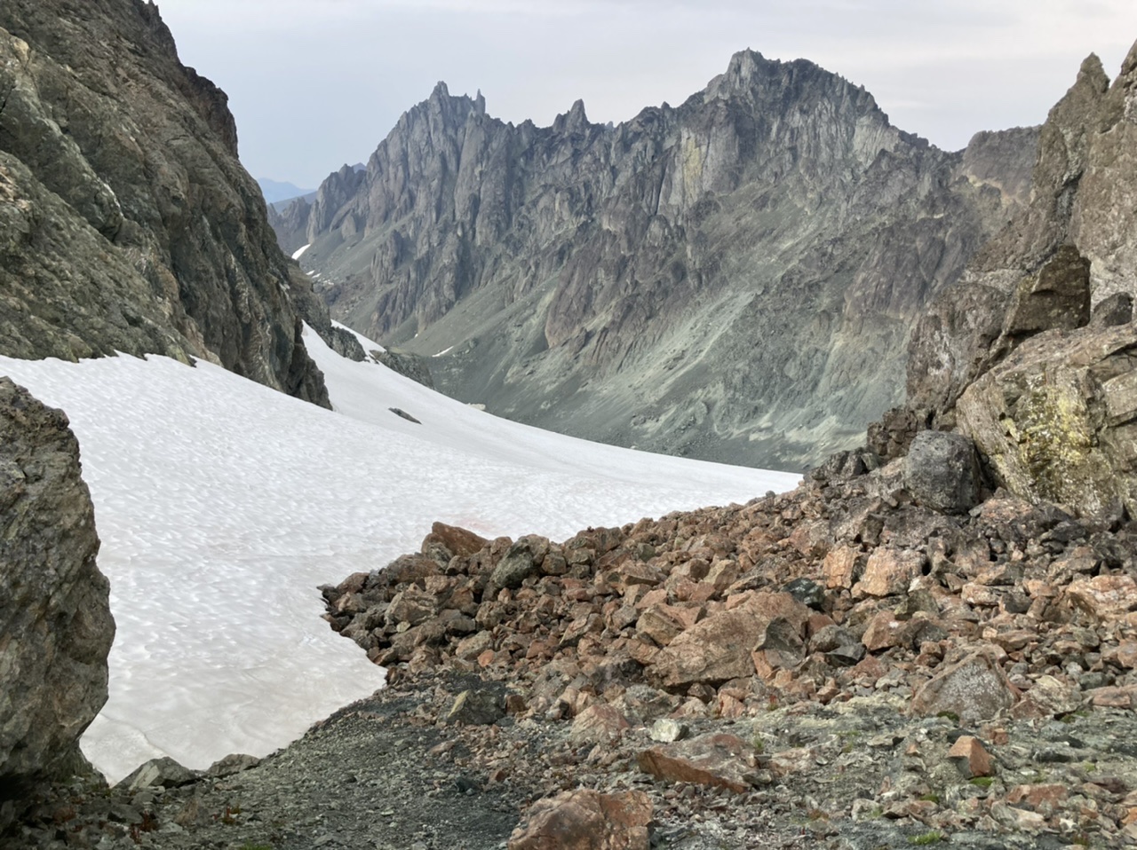
… we follow the boot track to the summit.
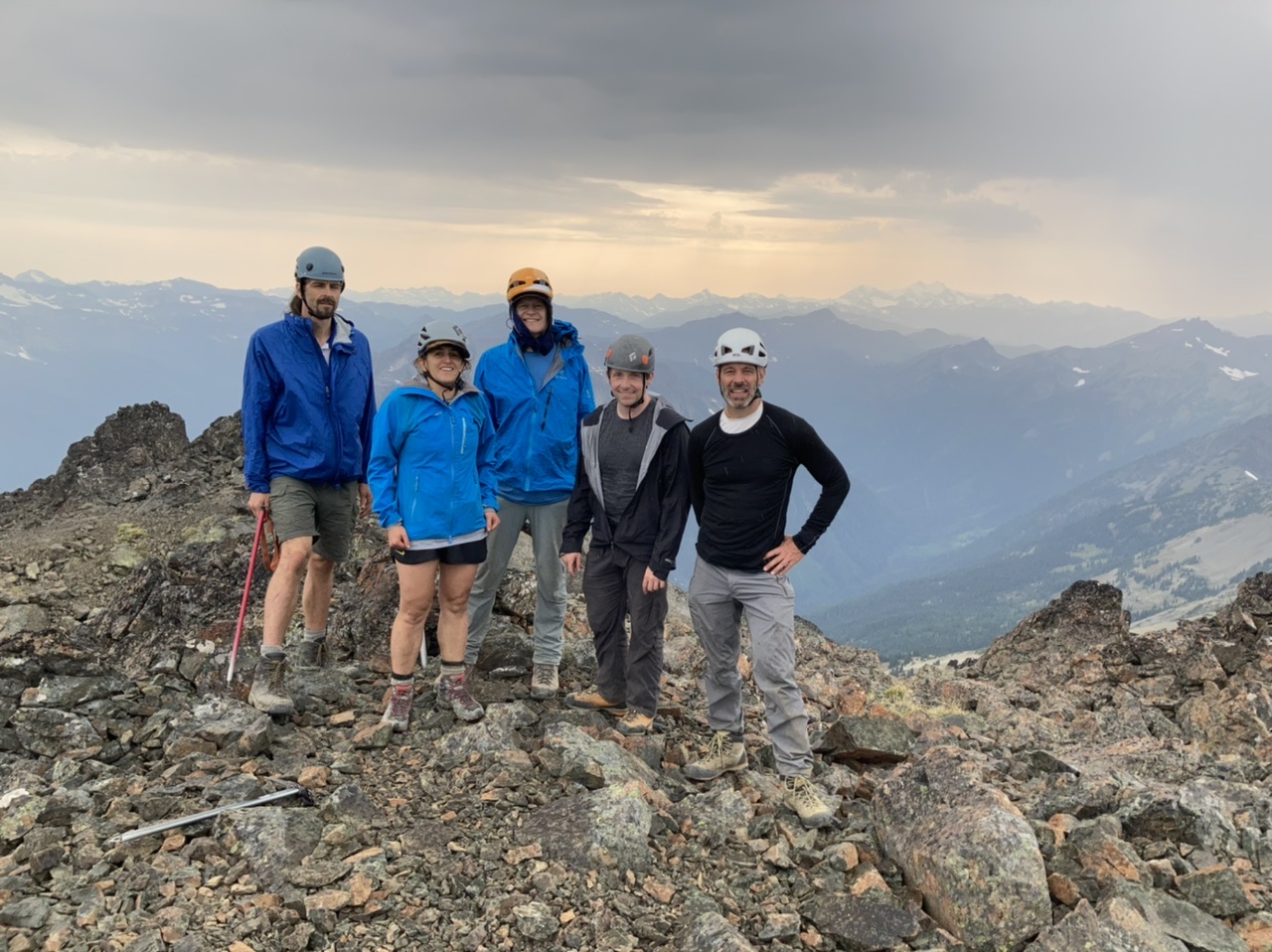
We descend the boot track back to our packs.
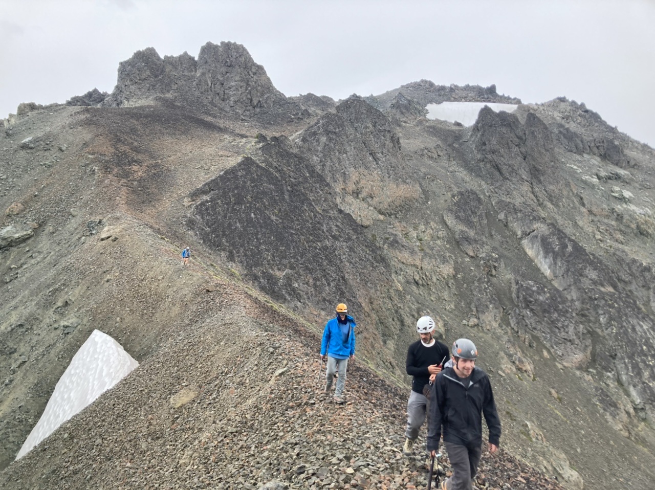
After reclaiming packs we descend the stagnant glacier on northern aspect of Mount Deception….

… to reach our 2nd night’s camp at ~5600’ (~2 hours shy of our originally intended camp):
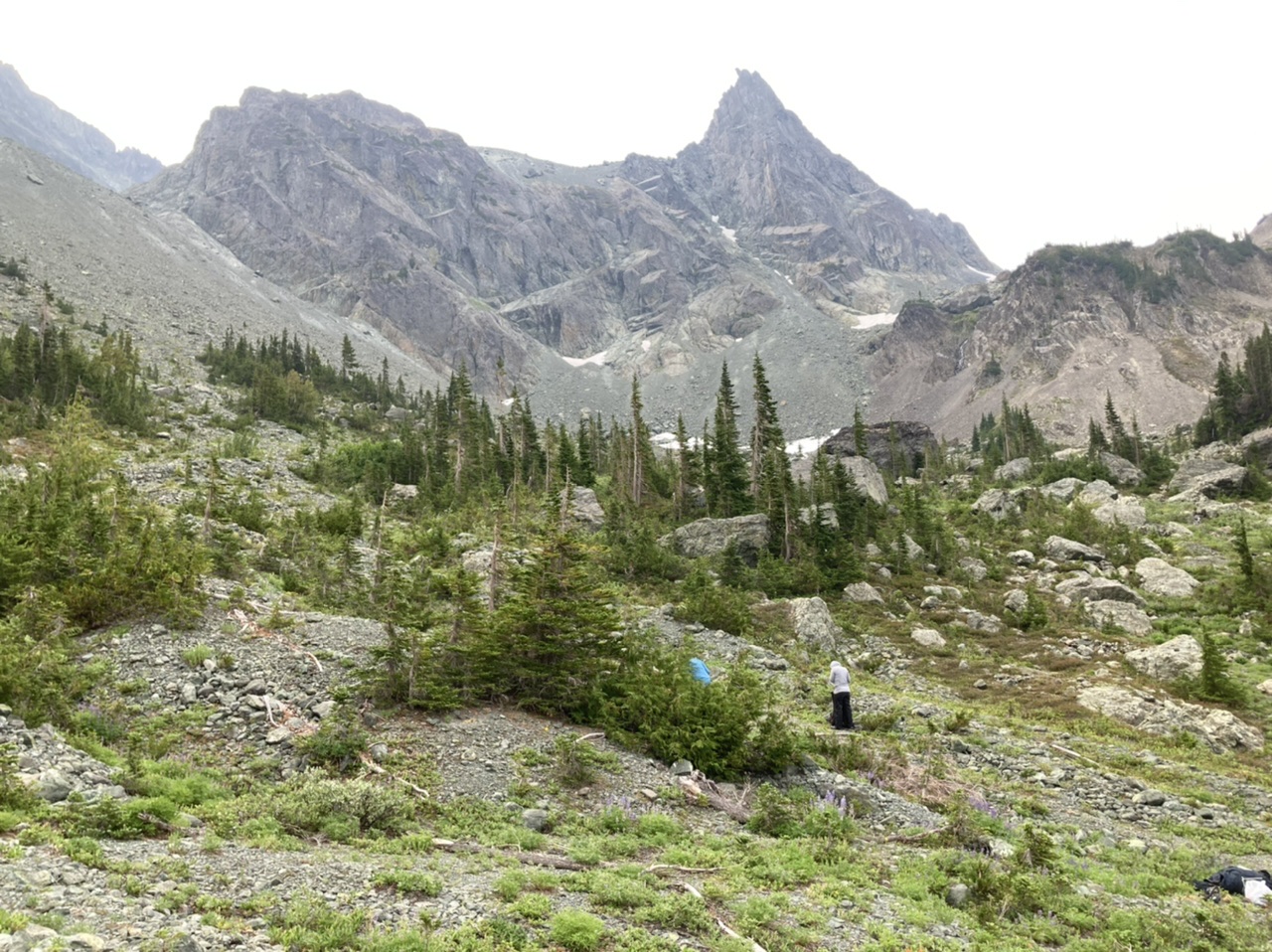
** Day Three **
With an 8am start we cross the ridge due west of Mount Clark (at ~6400’) to reach a refreshing alpine tarn (our originally intended 2nd night camp):
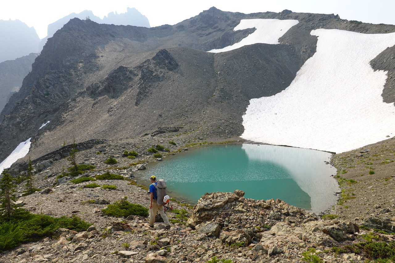 (photo by Leaf Petersen)
From near the tarn we plan our route over the broad ridge NW of Mount Walkinshaw:
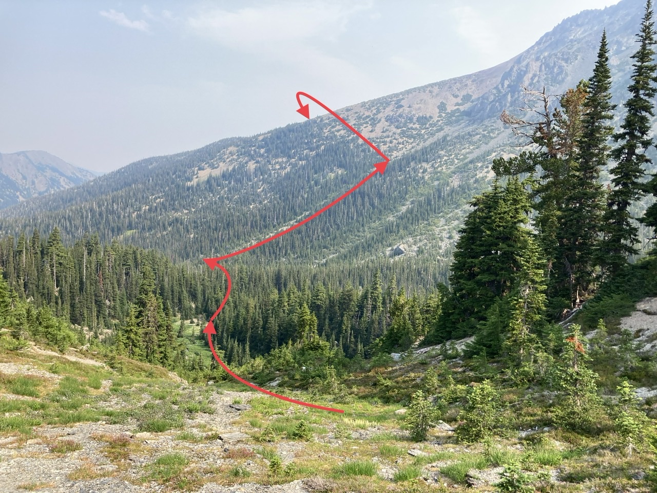
Crossing the ridge at ~6300’ we see Surprise Col:
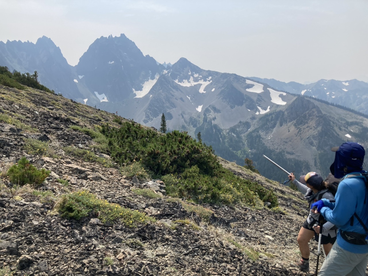
One of our time consuming sections, descending a tricky gulley then casting about to find the ~5700’ traverse to game trails:

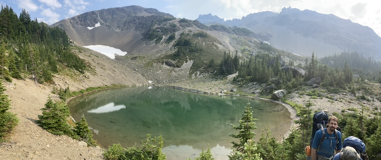
The tarn’s basin finally comes into view, as well as the game trail traverse leading to the crest of Gray Wolf Ridge:
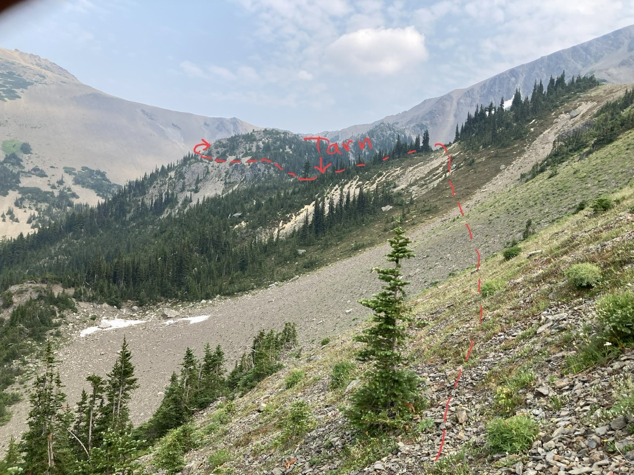
Leaving the tarn…
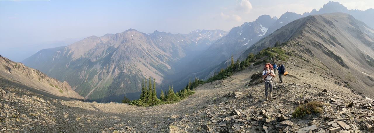
and gaining Gray Wolf Ridge an hour later…
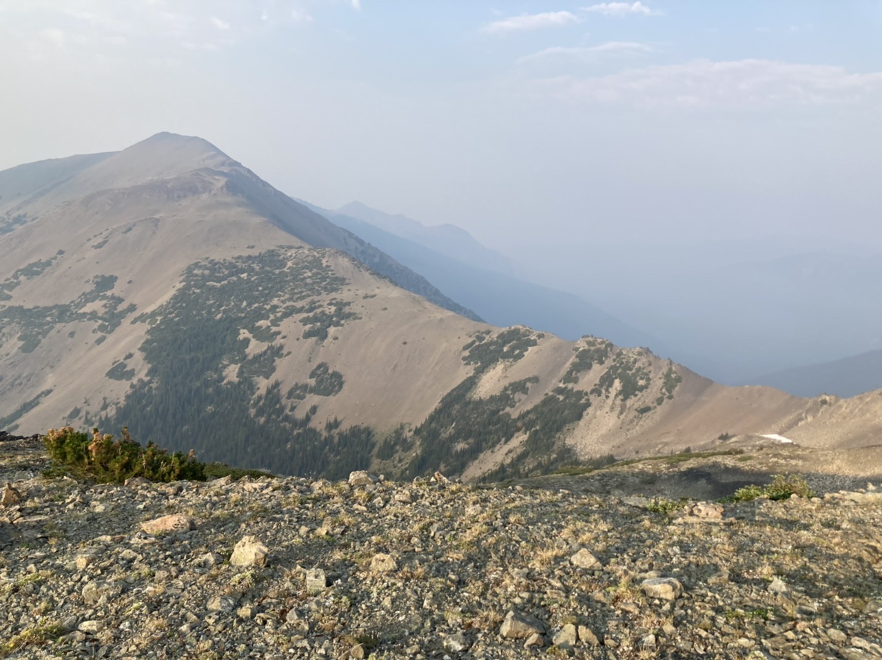
… with a glimpse our evening’s itinerary.
In summary, our detour near the SW aspect of Mount Deception greatly impacted our 3rd day. As the following table shows (our actual times and elevation gains), had we followed the lower solid line around the SW corner of Mount Deception (guesstimated at an elevation between 4800’ and 5000’) we would have been able to make our intended 2nd night’s camp giving us a much shorter 3rd day with an arrival at Baldy just at sunset.
Day ElevationGain TotalHours HoursOffTrail HoursOnTrail
Fri, 4700’ 10 Hrs 8.5 Hrs 1.5 Hrs
Sat 3000’ 12 Hrs 12 Hrs 0 Hrs
Sun 5000’ 19 Hrs 16 Hrs 3 Hrs
Photos can be seen here.
 Dave Morgan