Trip Report
Alpine Scramble - Old Snowy Mountain–Ives Peak Traverse
Magical overnight trip in the Goat Rocks wilderness
- Tue, Jul 2, 2024 — Wed, Jul 3, 2024
- Alpine Scramble - Old Snowy Mountain–Ives Peak Traverse
- Snowgrass Flat & Goat Lake Basin
- Scrambling
- Successful
-

- Road suitable for all vehicles
-
Road cleared of snow- forest road in much better condition than others. Ample parking at the parking spot. Beware of bugs.
On Tuesday, Tim and I drove down to Packwood to start at the Snowgrass flats trailhead at 10.00am. 15 miles into the forest service road and 0.2 miles from the trailhead one of my tires ended up with a slash from a sharp rock and I had a flat tire
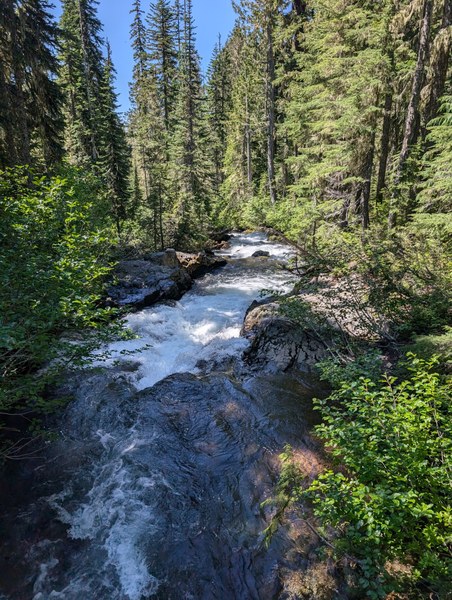

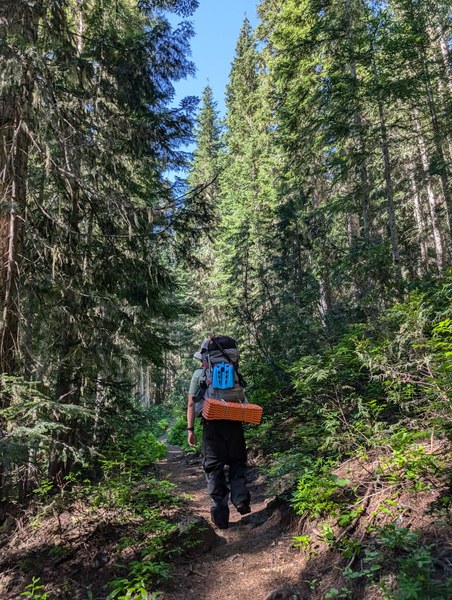
Leaving to deal with it on the way back, we sprayed ourselves (bathed ourselves) in bug spray and headed up the trail. The forest section which about 3-4 miles was mostly flat and we made quick time. We had some blow downs and beautiful meadows along the way
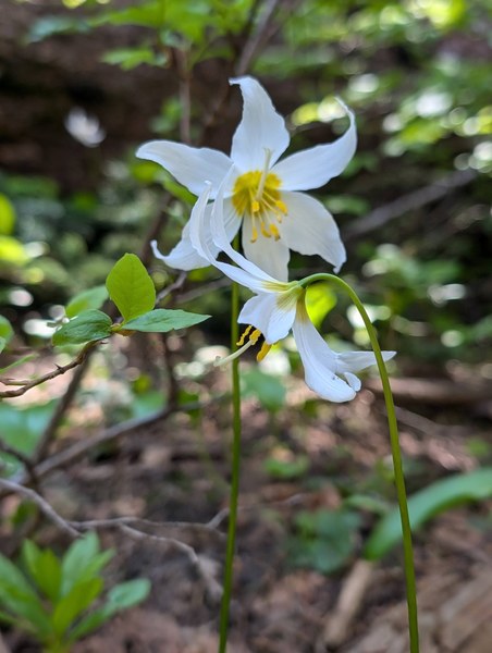

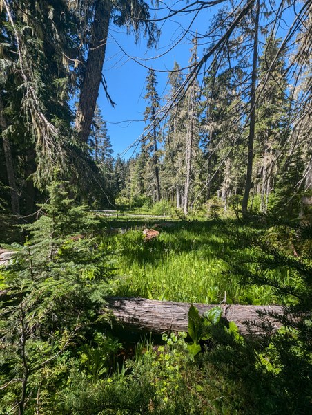
Little past lilly basin, we encountered consistent snow. We made camp in the treeline at 6200 feet.
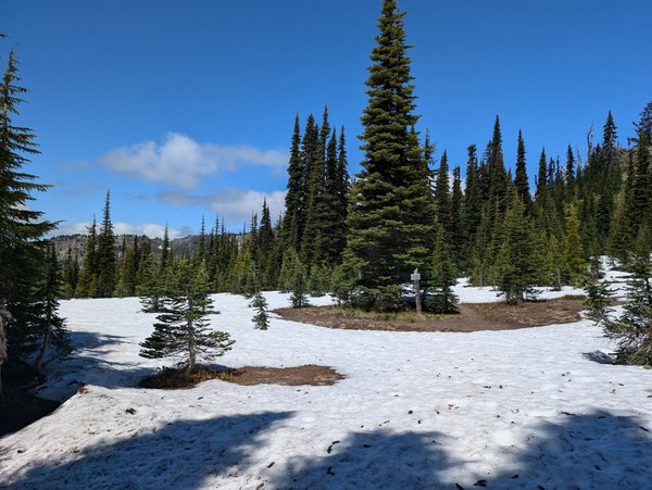
At about 12.45pm we arrived at a flat dry camp site and set up camp. we had views of Adams from camp. Had a break and we headed up

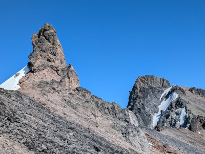
First views of summits
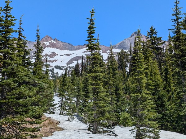
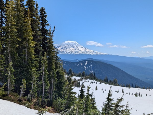
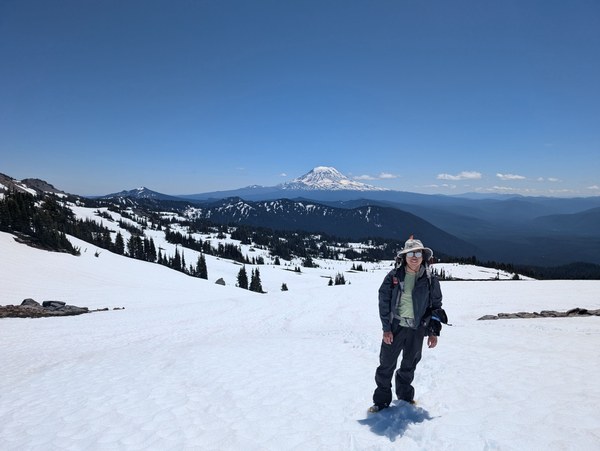
We left at 1.30pm hoping to make both summits on day 1. We travelled on snow from camp, no need of crampons or snowshoes. I broke trail to the summit, which felt good after a long time.. we had amazing views of Rainier and Adams all along.
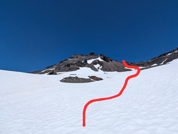
We had about 200 feet of rock to transition from snow to the ridge and 300 feet of rock to the summit. It was lose rock and with Tim not comfortable on loose rock, so we took it slow traversed to the backside of the ridge to travel on more snow and we made summit at 4.30pm
Transitioning from snow to rock and loose rock all across..
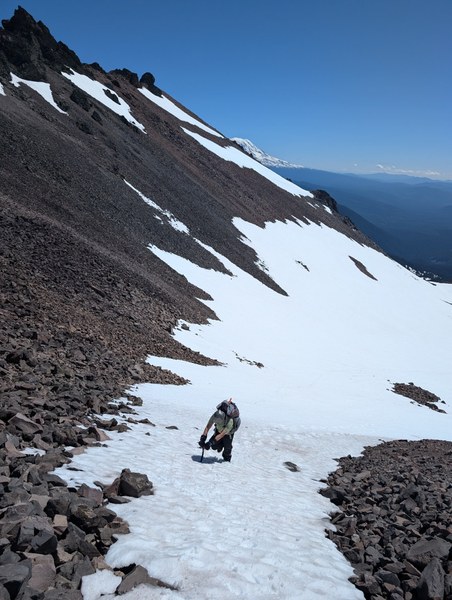

Views of Adams from the Ridge
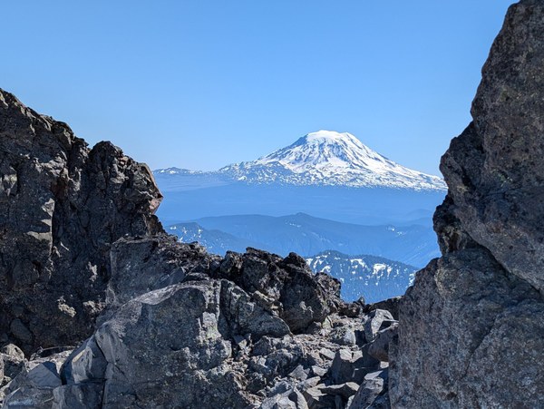
Backside of the ridge
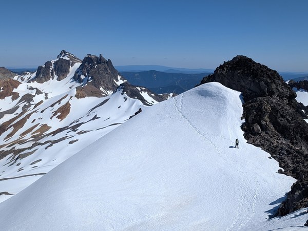
Moat forming in the transition from snow back to rock
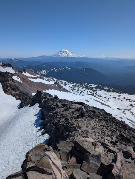
On the way down, we made careful steps and stayed together till we got back to snow and Tim could head back to camp
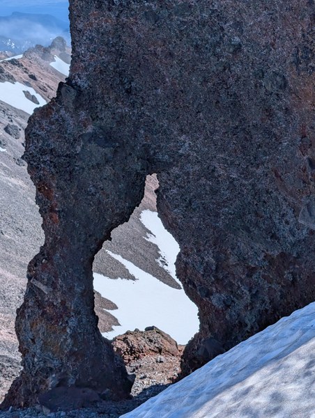
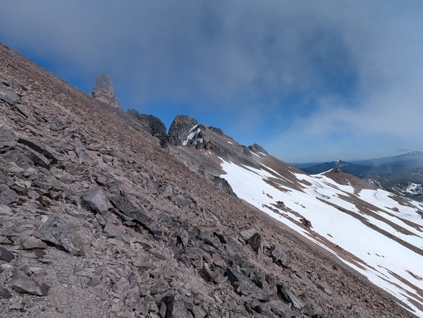
After Tim got back to camp, I side hilled some nasty lose moving boulder, screw shit for a while and made my way back to the ridge. From here it was a mixture of nasty shit and moving shit. This combined with white outs, made the travel very interesting.
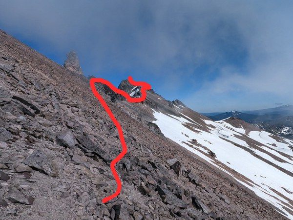
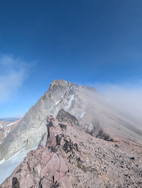
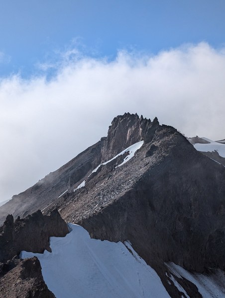
Made to the summit of Ives peak at 5.45. a couple of texts to close ones and witness a cloud wave and a miracle I made my way down into a whiteout
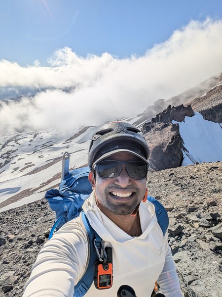
Once I got back into snow after some scree plunging and boulder hoping and praying I don't have a repeat of rock fall, I made it back to camp at 7.45pm. some coffees and we slept the night and woke up at 7am the next day.
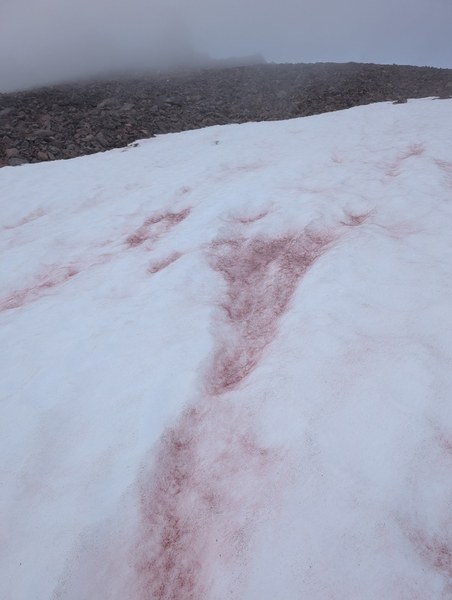
Watermelon snow on the way down
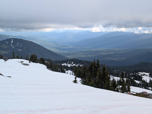
The distant skies were clear, which made it validate that there was no rain in the forecast
I dropped into snow and plunge stepped vs going over rock downhill
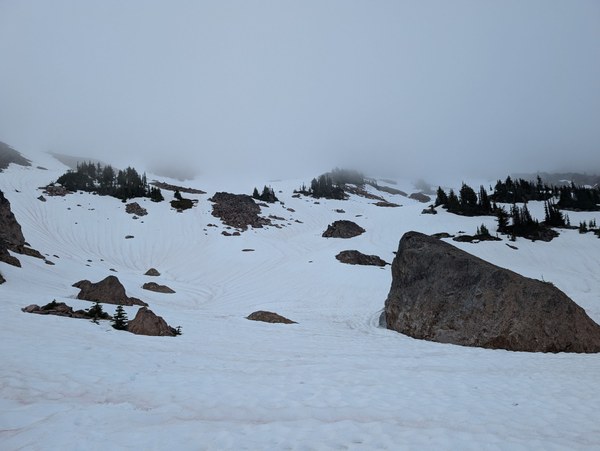
Lots of water sources from melting snow at 6400 feet and above

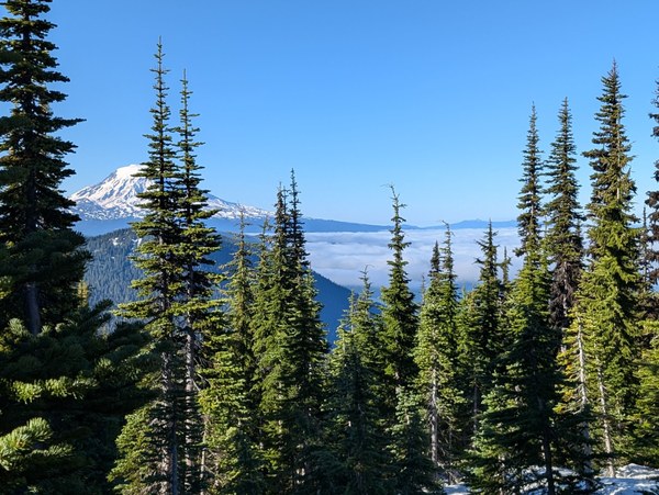
The snow froze over night and we used crampons till we got back to solid ground. From there it was cruising to the trail head at 10.30AM
 Ananth Maniam (ஆனந்த் மணியம்)