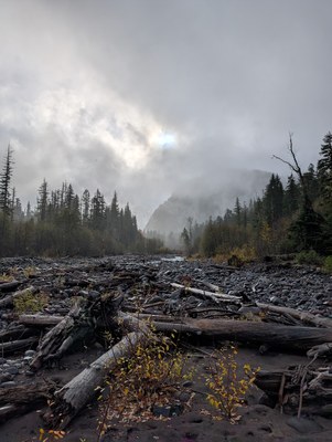
Trip Report
Alpine Scramble - Pigeon Peak
The most fun we could have had on an unpleasant day and scramble. Alternative title: "How I learned to stop worrying and love the rain".
- Sun, Nov 3, 2024
- Alpine Scramble - Pigeon Peak
- Pigeon Peak
- Scrambling
- Successful
- Snow and ice on road
-
- We drove on NF-75 from Greenwater to as far as we could go on NF-7550. Nearby NF-74, which would have been a more direct drive, was gated. There was snow above about 3800', including slushy snow on NF-75 over Haller Pass. NF-75 was in good shape but those without snow tires had issues in the mud and snow.
- NF-7550 was drivable until 47.03556, -121.69148. We were able to park four cars along the side of the road but it was a tight fit.
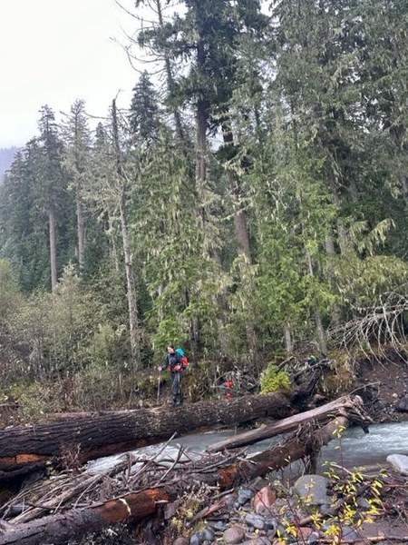
- There is a large log allowing easy crossing of the West Fork White River at approximately 46.99610, -121.69977.
Oh Pigeon Peak... universally claimed to be one of the most unpleasant scrambles offered by the Mountaineers and the worst of the Rainier 100 peaks. A boring road walk that isn't quite long enough to make it worth bringing a bicycle, terrible bushwhacking, no fun rock scrambling, no ability to glissade in winter, and no views. As if it couldn't get worse, we went on a cold rainy day in November.
Just as we got to the "trailhead" - the point of NF-7550 that turns from drivable road to hiking trail - we ran into a group of hunters that were not excited about sharing the same section of land and wondered "why we weren't going hiking at the nearby lake that was much nicer?" But we had a specific destination: Pigeon Peak. Sometimes (perhaps more accurately) referred to as Pigeon Point.
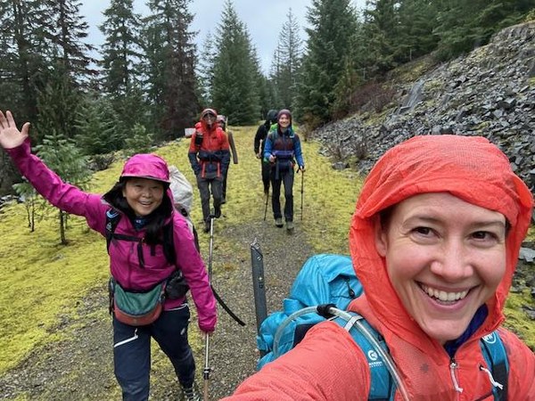
The "road" hike started wide and flat, but went through some swampy areas and became increasingly narrow and rocky. I'd say only about half of the road hike would be bikable without a full-suspension mountain bike and some experience on at least green MTB trails.
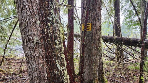
After we lost some elevation and had several small creek crossings, we came to a few signs along the trail. Previous trip reports noted that there was a log crossing of the West Fork White River at the "No Pets" sign. This was proceeded by a "National Forest Boundary" sign along the trail that may be more immediately visible (see photo below). This is right after a log bridge on the trail.
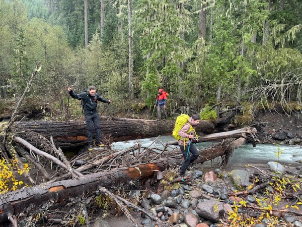
Most of our group put on microspikes for the log crossing, which was less slippery than anticipated. After crossing, we walked along the river to avoid bushwhacking for as long as possible. Once we entered the forest, we were able to follow game trails before starting to ascend. Our track started up slightly climber's right of our intended route and we had to negotiate some log jams.
The steep section was full of bushwhacking and getting over / around downed logs, but I was pleasantly surprised that there was minimal devil's club and no blackberries. Not the worst bushwhacking I've done! Since everything was wet and slippery, I found it helpful to have microspikes and poles on the steep sections.
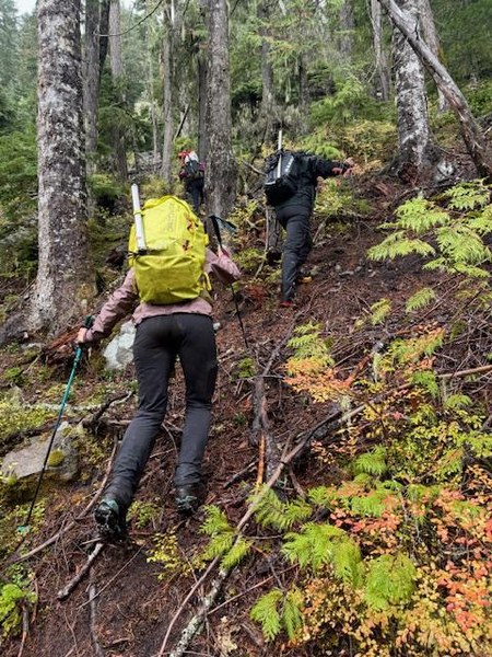
We encountered snow above about 3,800'. Once at the ridgeline, we were able to follow a nice bootpath but it didn't last (maybe we lost it under the snow). Finally, we made it to the cairn at top with no views, as promised. We were all soaking wet at this point so we didn't linger at the "summit".
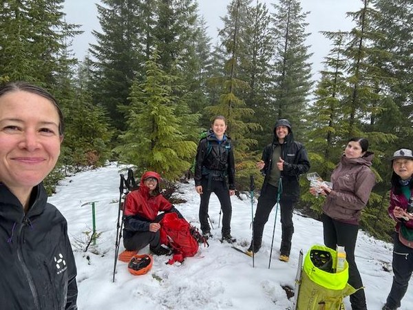
We made it back to the cars without issues, other than being soaking wet. This was a fun and strong group, making it a good time to be outside! Neal summarized our scramble as "how I learned to stop worrying and love the rain".
Thanks to Neal Stein, Annora Ayer, and Meimin Xie for the great photos.
 Emily Goren