Trip Report
Alpine Scramble - Pyramid Peak
A long day to a remote summit, but well worth the effort. We took the Fisher's Hornpipe Creek route up and out the Pyramid Peak/Mirror Lake/Indian Henry's/Wonderland coming back. Nearly a 15 mile day.
- Sun, Jun 23, 2024
- Alpine Scramble - Pyramid Peak
- Copper Mountain, Iron Mountain & Pyramid Peak
- Scrambling
- Successful
-

- Road suitable for all vehicles
-
Longmire to the Fisher's Hornpipe Creek at 4,350 was clear of snow. Kautz Creek bridge is out.
Bushwhack was manageable, snow present above 5,000 feet
Waterfalls in full force right now. Gully up to summit block covered in snow.
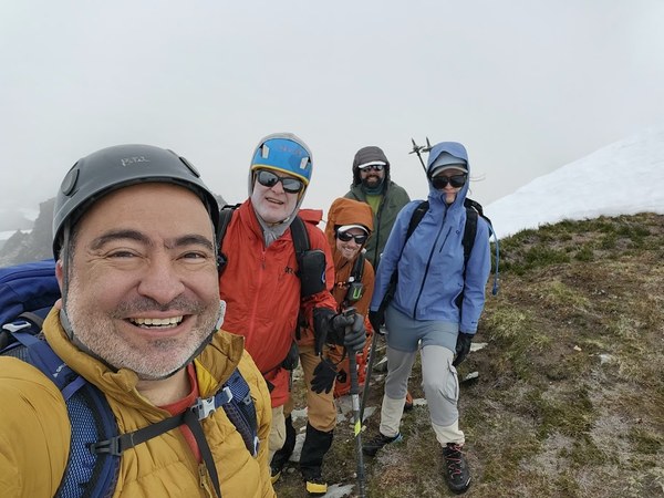
Pyramid itself had melting snow, we alternated from rock to snow quite a bit. Cornice still present at the summit.
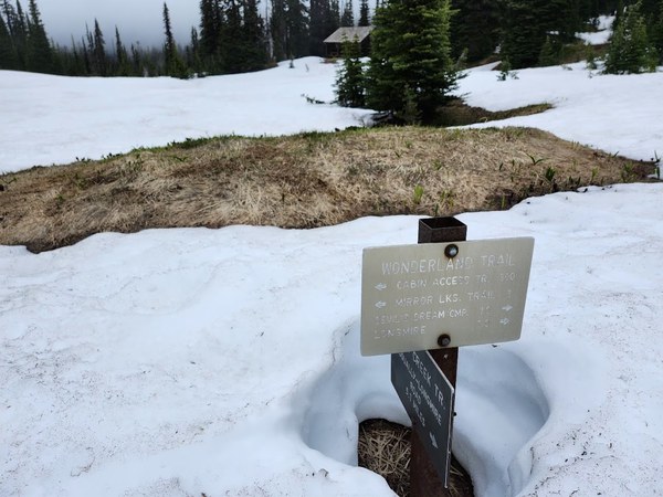
Pyramid to Indian Henry's completely covered in snow. Wonderland covered in snow until Devil's Dream Camp.
I had heard about Fisher's Hornpipe Creek as a shorter alternative to Pyramid Peak to the normal Kautz Creek to Indian Henry/Mirror Lake route. From what I could gather, this route had only been led about 3 or 4 times. A scrambler who had been on a separate trip a few years back had a GPX track, so I thought I would give this exploratory trip a go.
Our group of 5 met at Longmire at 6:45am (avoiding timed entry into MRNP) and then we drove up a short way to the Wonderland Trail parking lot. We were on the trail just after 7. Our first challenge was crossing Kautz Creek. Since there was no bridge, we explored a couple hundred feet upstream and found a satisfactory log crossing.
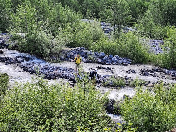
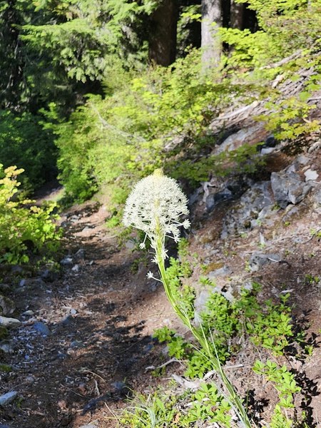
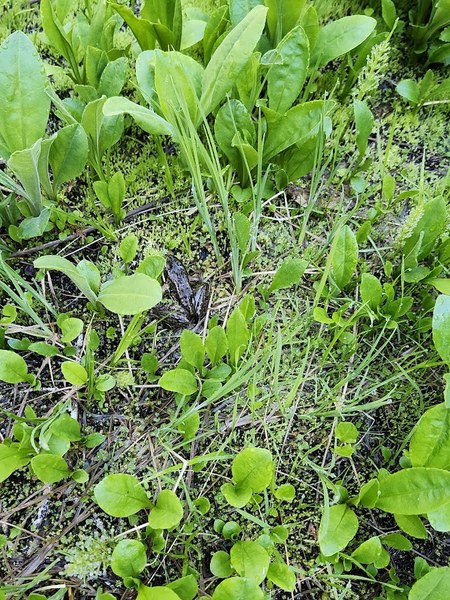
We continued past Pyramid Creek Camp and then on up to 4,350 to Fisher's Hornpipe Creek. We went off trail and continued north keeping the creek always to the left. The bushwhack was manageable. We enjoyed flowers, frogs, and waterfalls. The section was steep in places but we had no real issues.
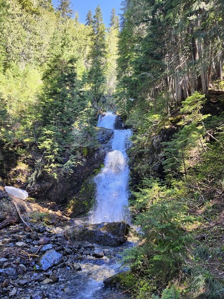
When we got to the snow at 5,000 feet, we were surprised to see fresh foot steps likely from the day or two before. We continued up to 5,300 feet where the creek curved off to the west while we continued in a northerly direction. We ascended a boulder field and then came to a rock band at 5,500 feet. With a turn to the northeast we came to our gully which had a small stream flowing down the rocks. Staying to the left of the stream, we ascended up the gully occasionally using a veggie belay. It was a little sketchy with the wet rock and footing that wasn't very secure, but we all made it.
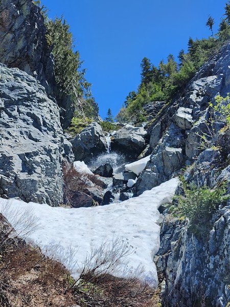
Once clear of that steep section (around 5,700 feet), we slowly slogged our way through the snow up to intersect where the Pyramid Peak trail should be at 6,200 feet when it is not snow covered.
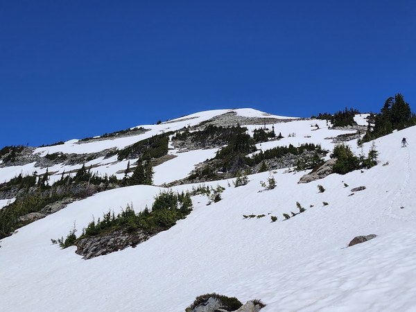
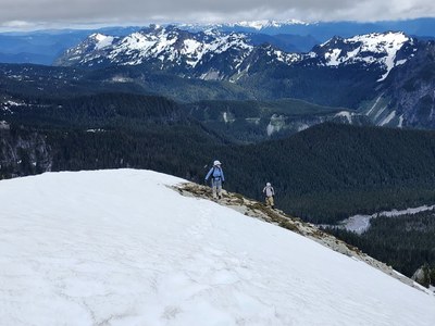
We headed up to the summit block around 6,400 feet and then ascended in a northwesterly direction alternating between loose rock and melting snow. Finally, we arrived at our summit a little after 2pm. We were careful to avoid the cornice.
 P
P
After lunch and brownies, we discussed our descent plan. Because the gully from Fisher's Hornpipe was so sketchy, we decided the longer Pyramid Peak to Indian Henry's would be the safer option down even though it is about 4 miles longer. We descended off the summit block, had a short glissade, and then at 6,200 feet we turned to the west and trudged through the snow down where the trail should be. Even though it was not fast, we enjoyed our trip out as we terrific views of Iron and Copper Peaks to our left, Emerald Ridge to our right, and passed features such as a slowly melting Mirror Lake.
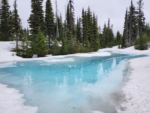
We arrived at the intersection to the Wonderland Trail which had no signs of steps. We turned south to Indian Henry's Hunting Ground Ranger Hut which was eerily closed. We did see a few footsteps, but it is clear that not many people have been up there. We hiked down the snow to Devil's Dream Camp where the snow finally subsided. And then we hiked the long 6 miles out and back to the cars around 8:45pm.
Between route finding, snow travel, and some fatigue especially when we were heading up the snow towards Pyramid Peak, it was a long day, but everyone was in good spirits. We had prepared for a the possibility of being out to almost sunset. Unfortunately our dinner location was already closed when we got back to Ashford, but I think everyone was good to get home. I fell asleep within two minutes of lying down and that to me is a sign of a good trip.
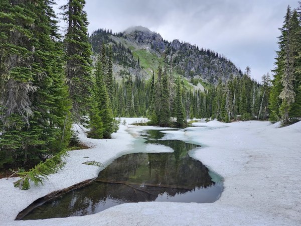
Below is our GPX track:
Final Stats: 14.5 mi/4,350 ft gained
https://www.gaiagps.com/map/?loc=13.2/-121.8183/46.8004&pubLink=NYixdqLgA5lsVmNk6gXjq4cz&trackId=9942d103-fb2e-4f13-9d42-78c4f0dd9f4b
 Paul Kallmann