Trip Report
Alpine Scramble - Rampart Ridge, North Peak
A short, steep, and pretty legit scramble with plenty of opportunities to practice scrambling technique.
- Fri, Jul 14, 2023
- Alpine Scramble - Rampart Ridge, North Peak
- Rampart Ridge (Snoqualmie)
- Scrambling
- Successful
-

- Road recommended for high clearance only
-
Lots of potholes on the road. Mosquitoes everywhere, especially on the summit.
We met at the Rampart Ridge Backdoor at 9am and hit the trail at 9:15am or so, rushing to start walking to escape violent swarms of mosquitoes, from which sadly there proved to be no escape, even at the summit.
Arrived at Lake Lillian in 45 min., by around 10am.
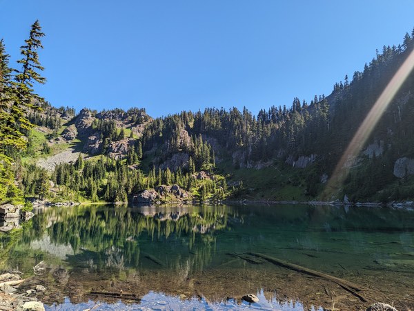
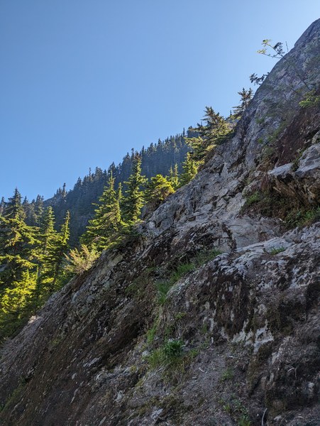
We opted for the route closer to the lake that involved a short class 3 traverse on a slabby rock, for maybe 30 feet or so. Looking at the beginning of it:
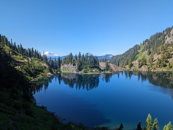
And here's a view from the other side of the lake in the direction we came from:
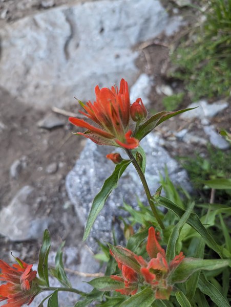
Random flowers along the way:
Another 1 hour or so, by 11am, to get to the place where our ascent and descent routes would meet. This is what our ascent and descent routes looked like.
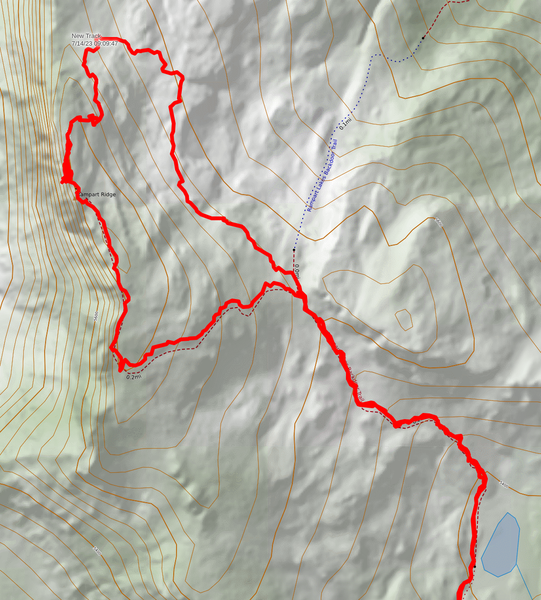
Another half an hour, and at 11:30am we were standing at the summit.
We opted for the left route with the one harder move up a step that was some 5 or so feet tall, had good hands, but only small nubbins on the rock to smear against. This proved to be sketchy for the participant that attempted it first, and they have fallen off the rock.
It's good that I was spotting and was able to catch them. They landed just 2 feet from the cliff, and without me spotting, might very well have gone off the cliff. In light of that, I would question calling the move "unexposed", and I would recommend spotting climbers who are either shorter or less experienced. With coaching to identify the tiny footholds, the climber was able to muscle their way up on the second attempt.
Seeing the fall, the second participant got discouraged, and they decided to go up the easier way around the corner, up the class 3 ledges. It was a bit longer, but we really only waited 5 minutes or so, and could see them making their way up.
Looking at the descent route:
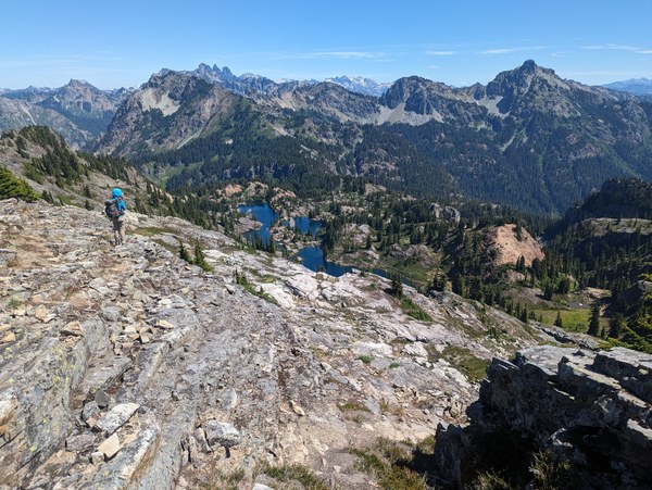
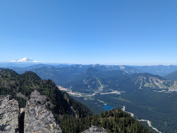
Summit views:
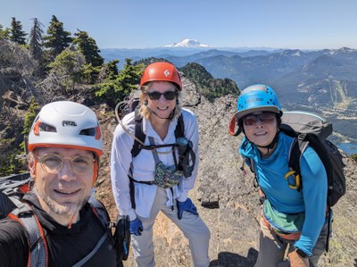
Mandatory summit selfie:
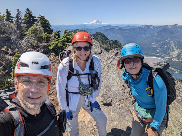
We stayed at the summit for only 15 minutes or so because mosquitoes there were particularly violent, and we started heading down 11:45am.
The participant that came up the ledges felt that descent skier's left would've been eaier than the route skier's right they followed on the way up through the talus, as that required them to get up a few steps, so we proceeded skier's left.
Going skier's left was doable, but I presume not easier, since we had to negotiate a few steps, one of which was about 6 feet tall down smooth and slippery rock. Both participants needed some spotting and coaching to negotiate their way down, essentially relying on whole-body friction and executing a controlled slip for a foot or two.
Looking up the descent route from another viewpoint:
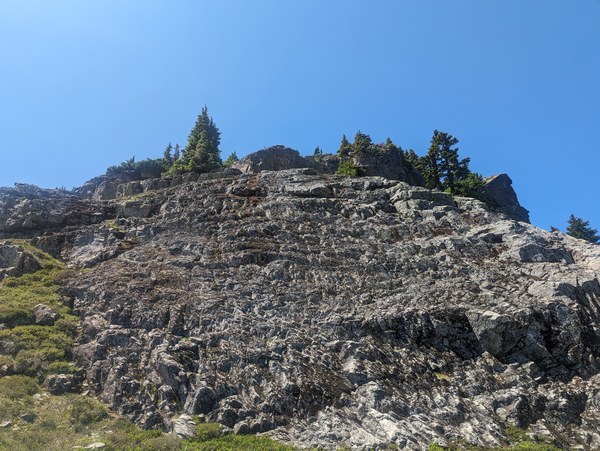
The rest of it was uneventful. Back to cars by 2pm.
 Krzysztof Ostrowski