Trip Report
Alpine Scramble - Whistler Mountain
Rock scramble up the west ridge offering 360 degree views of the North Cascades
- Thu, Jun 15, 2023
- Winter Scramble - Whistler Mountain
- Whistler Mountain
- Scrambling
- Successful
-

- Road suitable for all vehicles
-
Steep but open forest slopes in the first half, basin of creeks and meadows, followed by the even steeper open west ridge leading to a rock ramp that leads to summit. Entirely snow-free!
Started just before 9am from the road right where the PCT North TH access road meets SR-20 at Rainy Pass. Headed straight up WNW through open steep forest. Lots of downed trees were all avoidable.
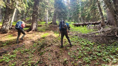
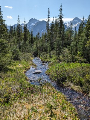
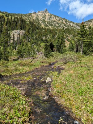
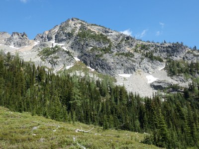
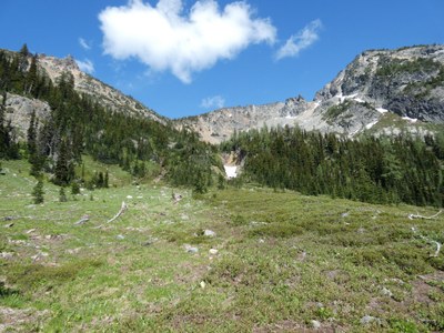
At about 6000 feet the route crosses through some open green meadow areas as we entered the start of the basin. At around 6150 feet we arrived to the pretty basin of open meadows and creeks. The SW Cutthroat Peak rose up to the left, with Whistler to the right across the basin.
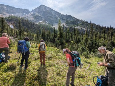
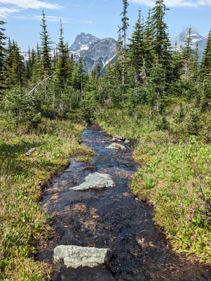
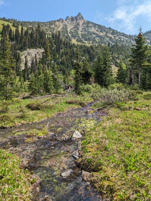
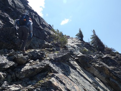
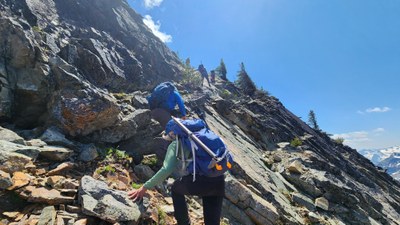
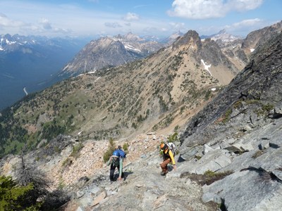
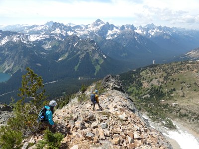
We headed south across the basin, easily stepping over all the small creeks to gain the base of the west ridge of the peak. Then up we went, staying as centralized on the ridge as possible avoiding most of the brush. Dealt with some loose talus in areas, and had one short section of some great slabby rock. The view behind us was very dramatic!
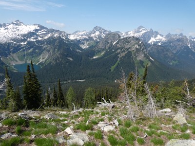
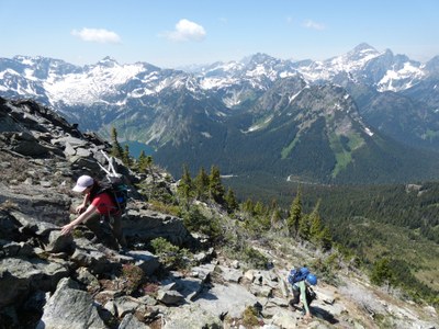
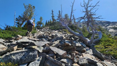
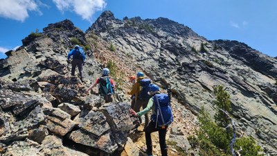
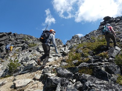
As we neared the top terminus of the ridge, we skirted the left side of a gully of reddish rock, able to avoid all of the loose stuff in the gully and arrived at a small saddle atop the ridge and gully.
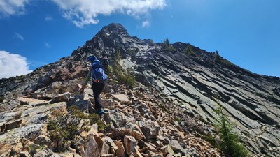
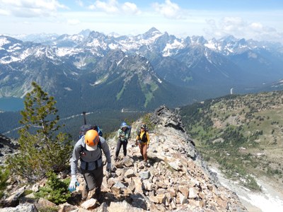
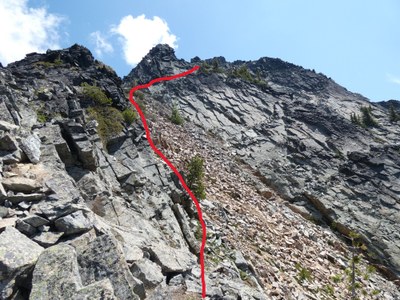
At the top of the gully we ascended a rock ramp of easy class 3 rock that led to the summit area consisting of more easy class 3 rock leading to the top.
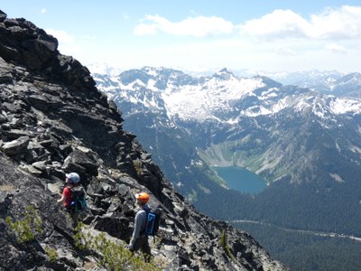

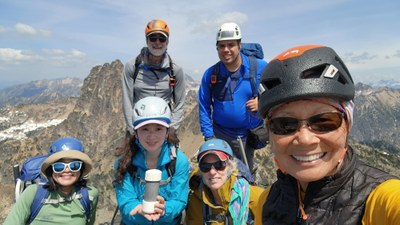
We arrived on the summit at 1pm to take a break, sign the register, and soak in the vast 360 degree views, which were only a bit hindered by haze from the Canadian wildfires.
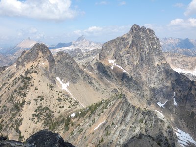

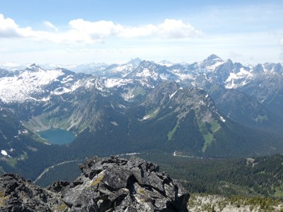
Down the ramp we went back to the top of the gully, down the side of the gully back to the ridge then back down the ridge to the basin.
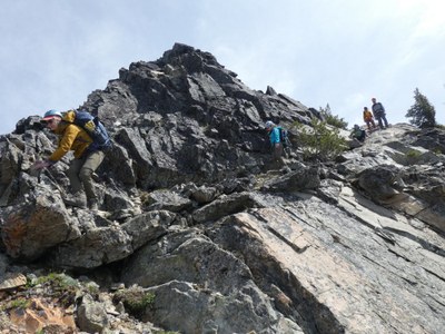
Stopped for a quick break in the basin before heading back down through the forest to the road.
We returned to the road around 4:45.
Thanks to leader Susan Shih for contributing some of her photos to this report.
 Chris Pribbernow