
Trip Report
Backpack - Navaho Peak
We spent 3 days and 2 nights exploring the Navaho Pass area and surrounding peaks. Despite very hot temperatures and lots of bugs, we enjoyed delightful 360 degree views of the area and lots of beautiful wildflowers.
- Fri, Jun 25, 2021 — Sun, Jun 27, 2021
- Backpack - Bean Creek Basin & Navaho Pass
- Bean Creek Basin
- Backpacking
- Successful
-

- Road suitable for all vehicles
-
The trails up to Navaho Pass, Navaho Peak, and Wrong Turn Peak were all in great shape. There's still some patches of snow in the area, but only at higher elevations - starting at about 6000', roughly. The trails were all snow-free, with the exception of a small section towards the top of Navaho Peak. We carried micro-spikes all weekend just in case, but we did not use them.
Note that there was still a lot more snow on the norther-facing slopes, despite very hot temperatures recently. We had originally intended to take the Old Count Line trail from Navaho Pass over to Volcanic Neck and Bean Peak, but we decided against this because of the amount of snow on the northern slopes.
There was a lot of small streams in the area and we didn't have any trouble finding water sources.
There were a lot of bugs in the mornings and evenings. Mostly flies, but a few mosquitoes too. We all got quite a few bites.
We had originally planned to do a loop: Stafford TH to Navaho camps on day 1, then from Navaho along the Old Count Line trail, past Volcanic Neck, and over Bean Peak to Bean Camps on day 2, and then on day 3 back to Stafford TH via the southern trail (Bean Creek Trail / Standup Trail), which reconnects back to Stafford Trail. However, since there was still substantial snow on the northern slopes and the weather forecast was for temperatures in the mid 80s, we opted to camp 2 nights Navaho instead and explore the surround area without our packs.
We arrived at the Stafford Creek trailhead on Friday morning at 10am. The road to the trailhead is easily passable with any car, although there are lots of small and medium potholes. The parking lot was quite full, but we found a parking spot along the side of the road nearby.
On Friday, we trekked up to the camps just below the pass. The trail is in great condition. There's a few small stream crossings along the way to fill up water. Nothing that can't easily be crossed by hopping over a few rocks. No snow at all on the trail up to the camps, or at the camps themselves. There were quite a few other groups there already, but we easily found a spot for our group (5 tents) in a shady area right beside a stream. After setting up camp, we ventured up to Navaho Pass and took the Old County Line trail up to Wrong Turn peak to enjoy beautiful 360 views while we had dinner.
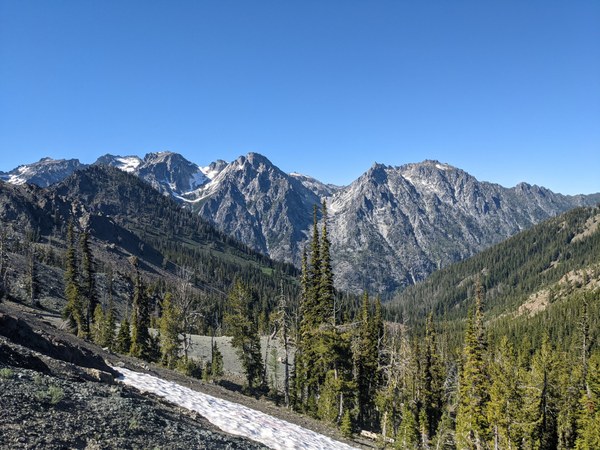
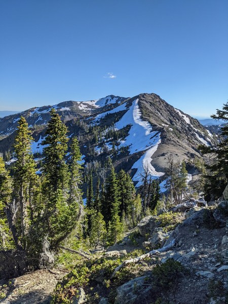
We returned to Navaho Camps via an off-trail route, and on the way we found some excellent camp spots on the SE slope of Wrong Turn peak with amazing views and a stream nearby. We decided to pack up camp early the next morning and move up there, to have some variety and to avoid the weekend crowds at Navaho Camp.
After moving camps first thing on Saturday morning, we hiked up to Navaho Peak. This trail is quite steep, but in great condition. We had to cross one patch of snow near the top, but it was soft and easy to cross without microspikes. After enjoying a snack and some beautiful views from the top, we took the SE trail down the other side. This is a much less established trail, but still relatively easy to follow.
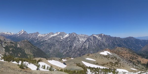
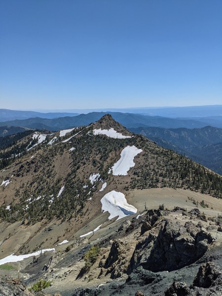
We explored down into the valley between Navaho and Three Brothers, and found a nice shady spot to have lunch. There was another small patch of soft snow that we had to navigate to get down there. After lunch we regained the ridge, and explored part way along the ridge towards Freedom Peak.
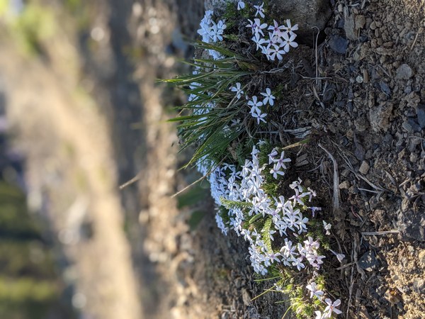
The wildflowers are everywhere, and are stunning:
We returned to camp via the trail along the southern slope of Navaho. The trail has some narrow sections. It's very safe and passable, but could be problematic for anyone with a fear of heights.
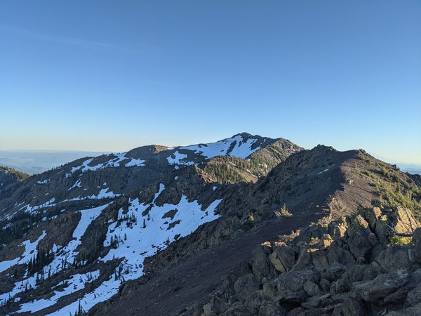
After dinner on Saturday, we explored up along the ridge SW of Wrong Turn peak as the sun was starting to set.
We headed back to the trail head early Sunday morning to avoid the worst of the heat.
 Ian Henry